9/22 we did 16.4 miles to Stehekin, WA and slept at 1,611 feet. On 9/23 we did 14.3 miles to Fire Weed Camp and slept at 3,632 feet. On 9/24 we did 10.2 miles to Cutthroat Pass and slept at 6,837 feet. On 9/25 we did 15.7 miles to Glacier Pass and slept at 5,581 feet. On 9/26 we did 17.9 miles to Jim's Pass and slept at 6,265 feet. On 9/27 we did 18.8 miles to Castle Pass and slept at 5,460 feet. On 9/28 we did 12.5 miles to Manning Park, Canada and slept at 3,910 feet.
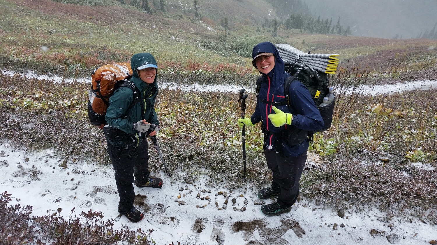
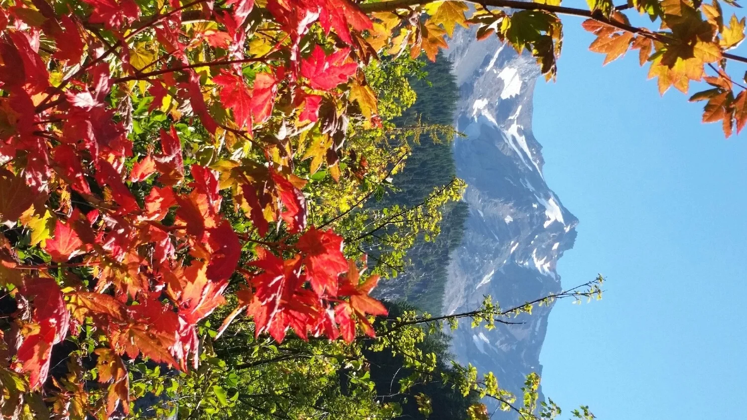
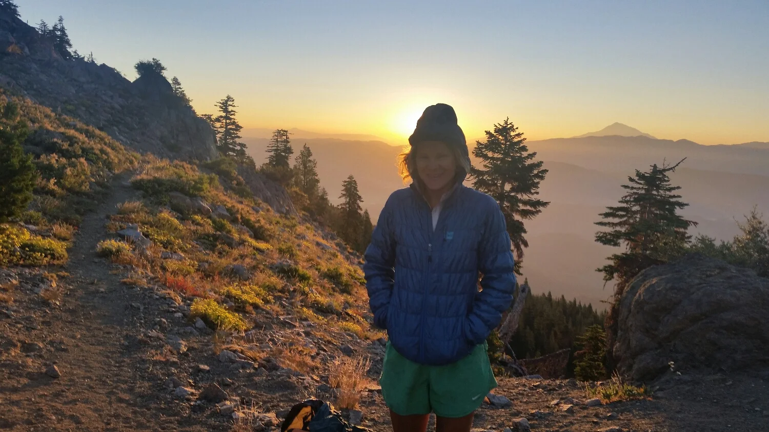
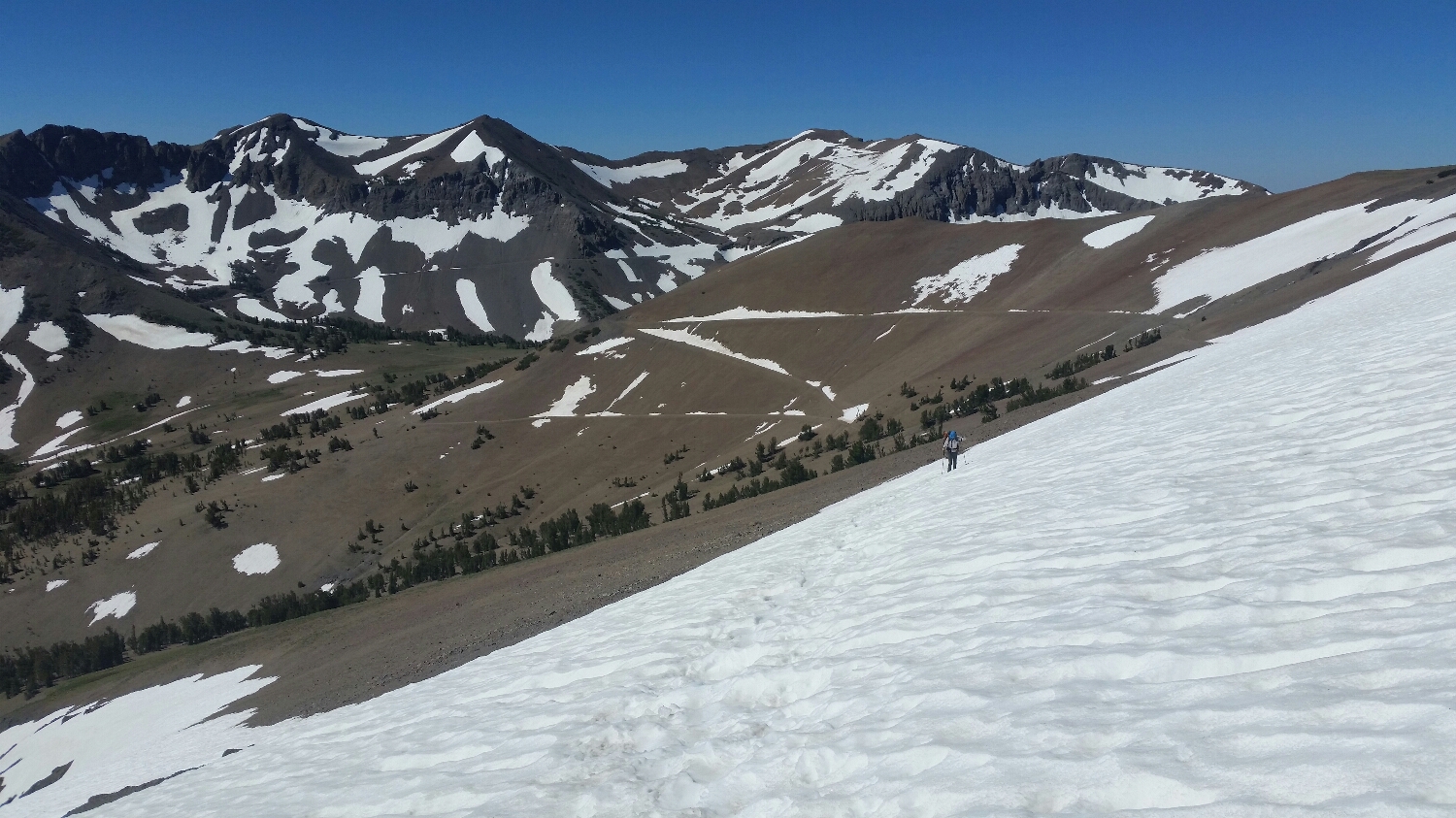
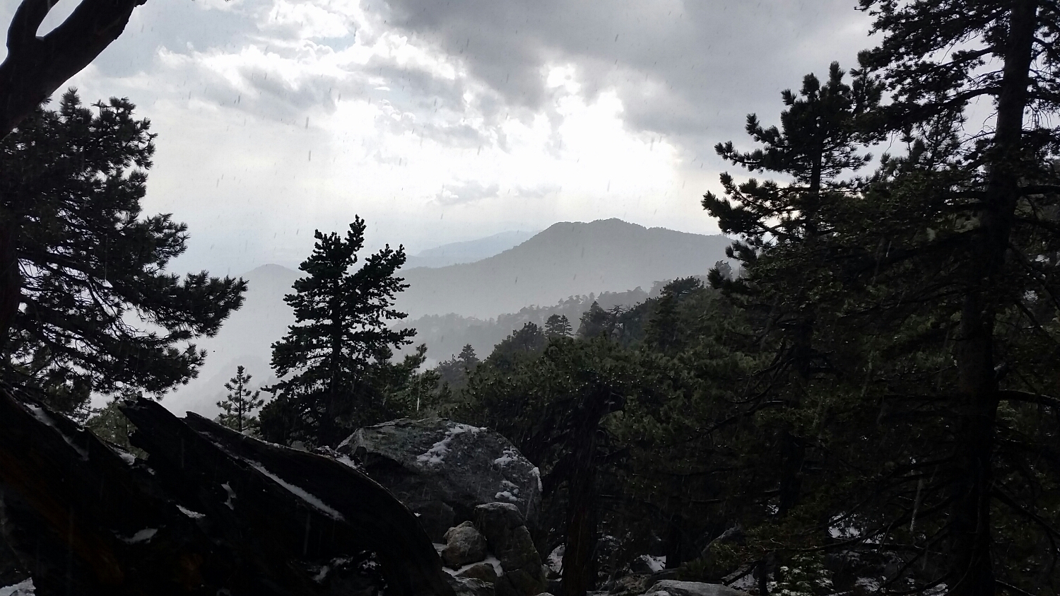
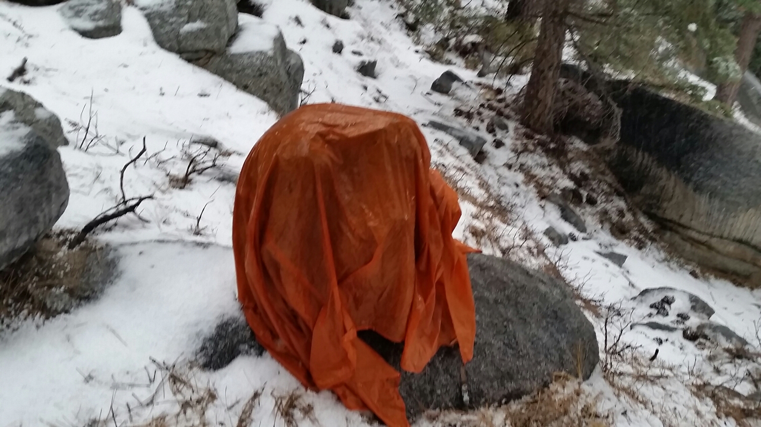
After being soaking wet for days and having a snowstorm put the fear god into us, the weather finally subsided and blue skies came out to greet us. We climbed up over several ridges that led to the freshly powdered Glacier Peak and every hiker on trail spent time drying their gear out in the middle of the day and rejoicing once their tents and sleeping bags finally crisped out.
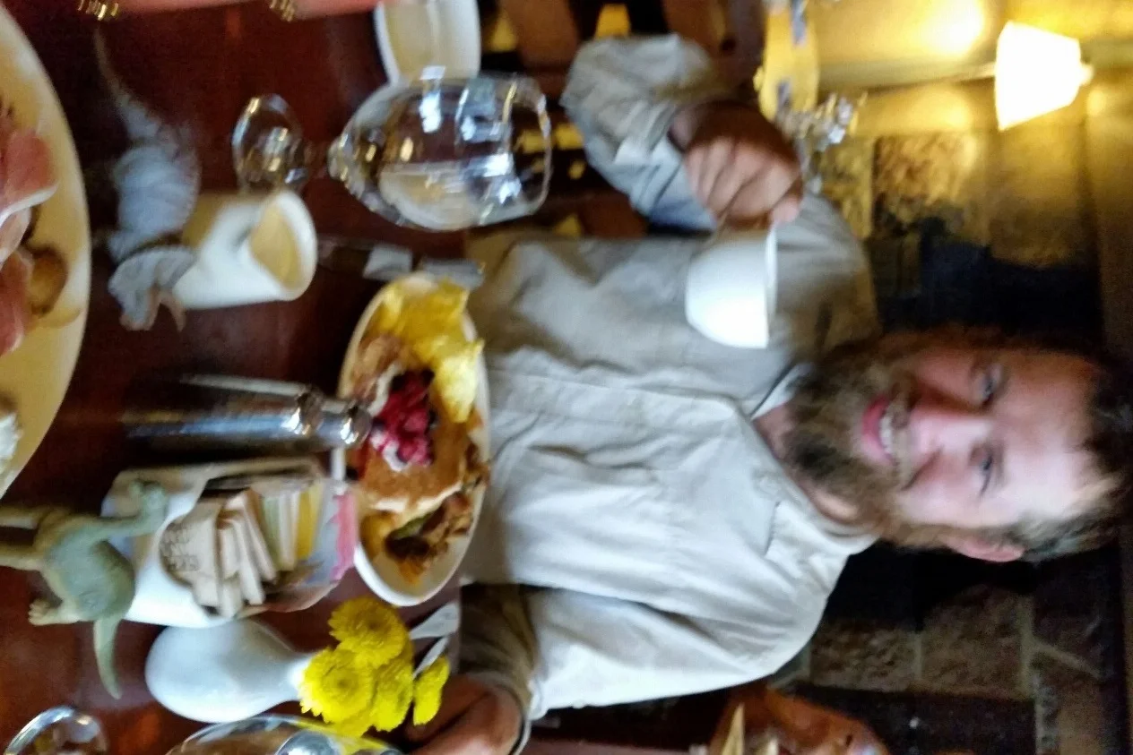
All of the hikers had their eyes on the final resupply in Stehekin, Washington. Stehekin is located in Northern Cascades National Park and is our 7th and final National Park. The only way to get to Stehekin is by a 4 hour ferry ride, a float plane or the PCT. With the difficult logistics it should be no surprise Northern Cascades NP is one of the least visited national parks. I was so hungry from the cold and wet slog we just had been through, that when we reached Stehekin I was contemplating eating my leather belt. We heard from word-of-mouth Stehekin is supposed to have the best bakery on trail, but I wasn’t so sure how a town that has 75 people living in it year round could have and support such a great bakery. When we approached the bakery, I could smell the confections from a ¼ mile away and when we got to it, it was like a dream come true. I am not one to take pictures of my food, so you will just have to believe me that it was better than any European bakery I had ever been to and must have employed half of the town. I figured out how they can stay in business since SketchPad and I spent over $60 just on pastries, but they were worth every cent.
The town of Stehekin also had a small convenience store where hikers gathered with a beautiful view of Lake Chelan. We sat together for our last town visit and exchanged stories of the good, the bad and the randomness of the trail. We spent time passing around our IDs. This might seem like a bizarre thing to do on one of our last days together, but most thru hikers don’t know much personal information about their hiking friends. At most you know where they are from, but that’s about it, even if you have been hiking together awhile. It was fun to learn that Heart Breaker is really Thorsten, who is a retail manager and that Tape Boss is Katie, who is an actuary student. We spend so much time together but your front country name, and what you do to make money is not important and not necessary to get to know someone. This was one of the few times we did not go to bed with the sun and stayed up enjoying our last town visit with each other as the stars came out.
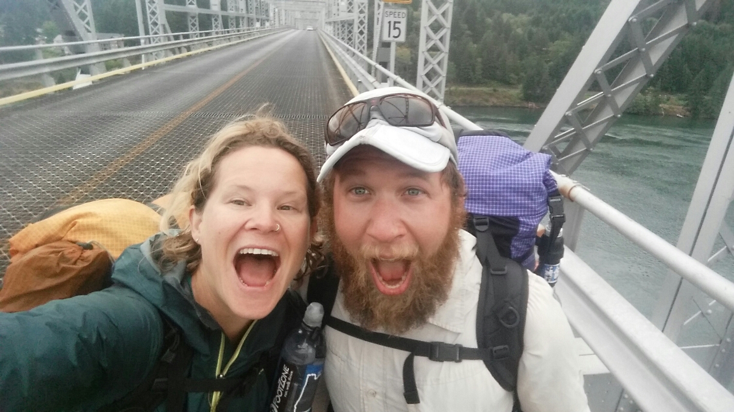
As we were leaving Stehekin the next day we crossed High Bridge. Below us, in the crystal clear water there were 100’s of spawning sockeye salmon. It was a real treat to watch them swim upstream, following a tradition that has been going on for 1000’s of years.
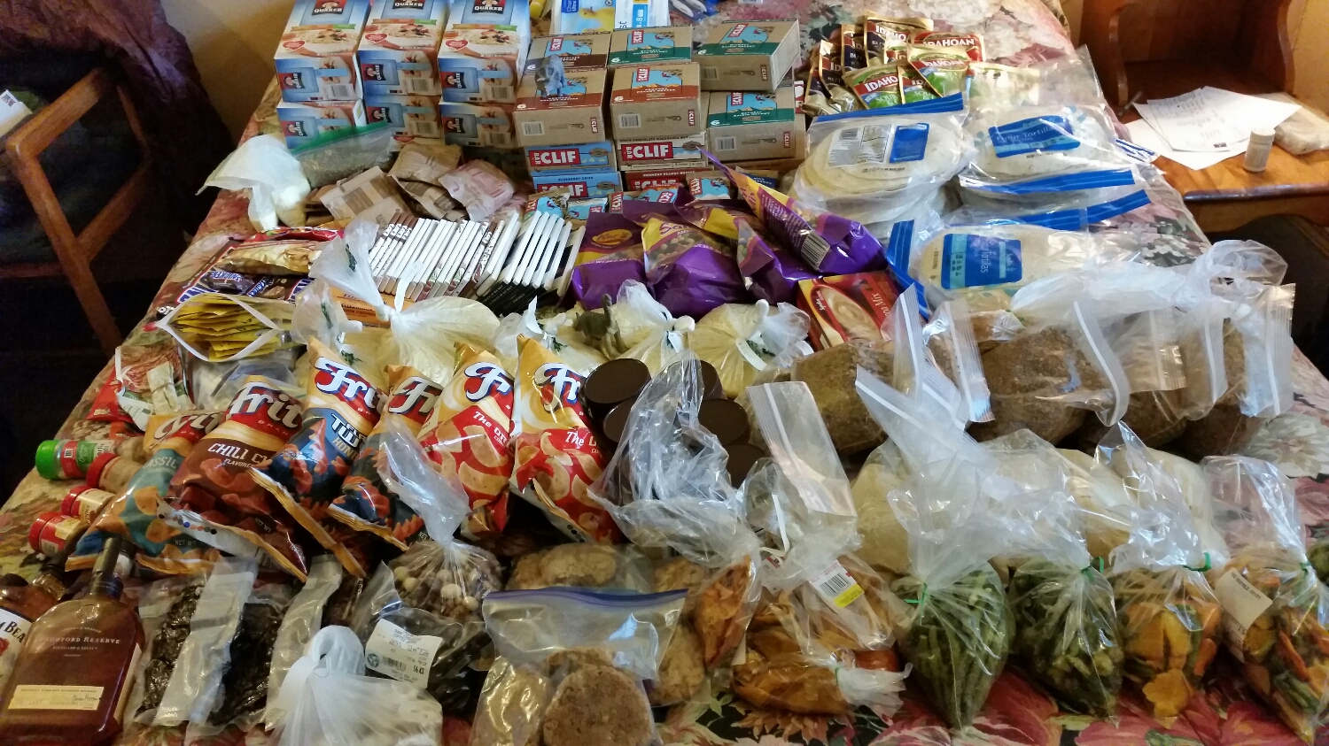
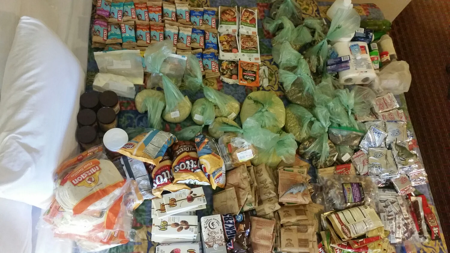
When SketchPad and I sent our resupply to Stehekin we added extra food in case the weather was going to be bad which would have slowed us down. As we left town we got a weather update which said the next 6 days were going to be clear of rain and perfect temperatures. We only had 90 miles left to Manning Park, Canada but we figured if we had 6 days of food and perfect weather we should take our time and enjoy the last leg of the trail. I know it was dumb luck the last section of trail was going to have perfect weather, but it felt like a reward for all of huge miles we had to do in Northern California and Oregon to ensure we would make it to the border before the weather stopped us.
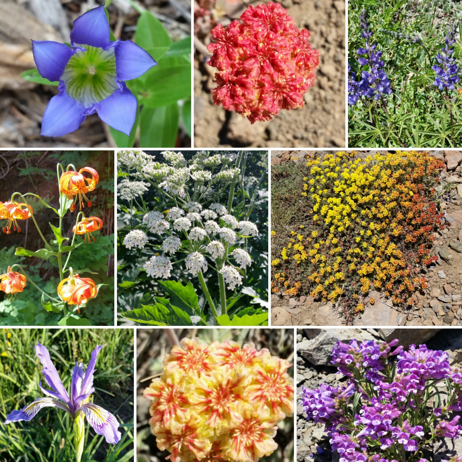
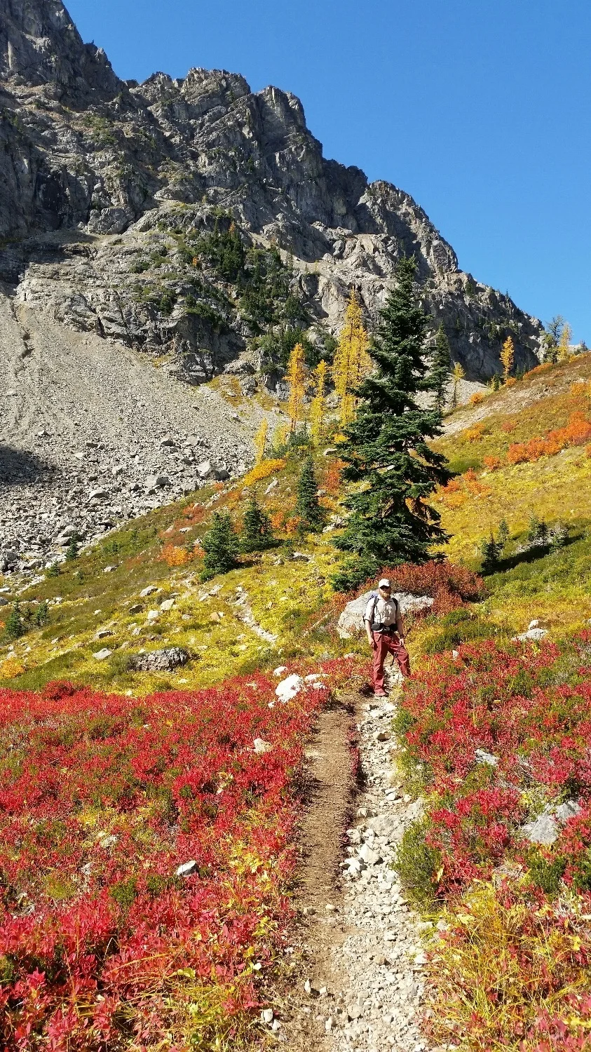
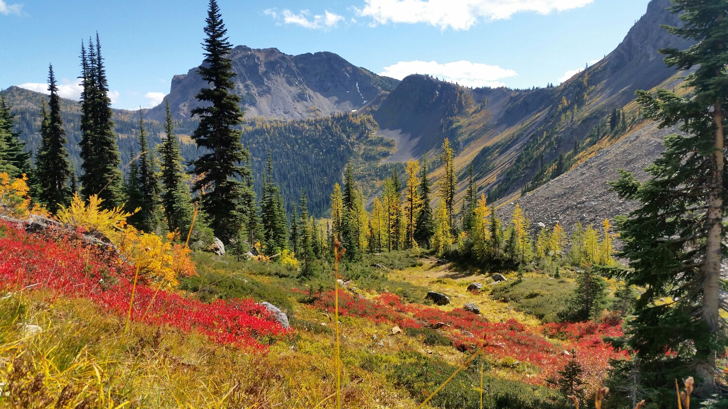
Fall was upon us and Northern Washington looked like an artist’s palate. The huckleberries and blueberries turned a intense dark red, the mountain ash were a fiery orange and the larch turned a brilliant yellow. I had no idea what larch were before the trail, but they are a sub-alpine needle tree and are deciduous - meaning they turn colors in autumn and loose their needles every year. We hiked pass to pass in Northern Washington, similar to what we did in the Sierras. The extra time we had each day, gave SketchPad the opportunity to fill her journal with even more paintings to document the end of the journey.
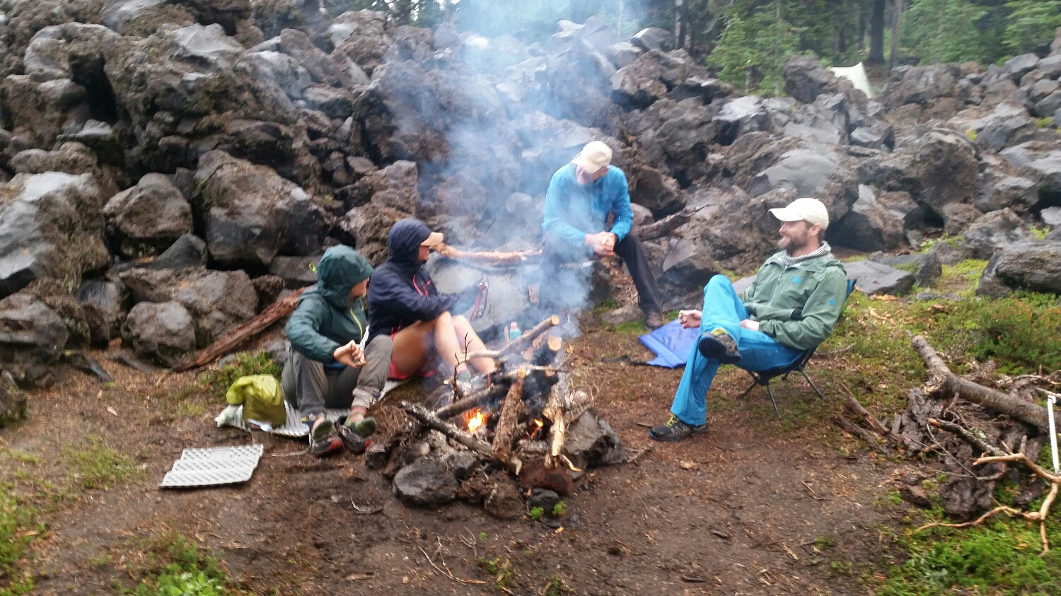
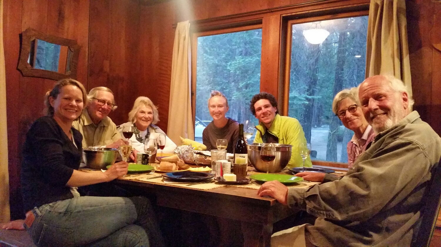
Having hiked a trail before, I knew there would be a mix of emotions at the end of the trail. You cannot make it last forever, there is a reason there is an end to the trail, and no matter what you do, you cannot make it last forever (maybe this a metaphor for life, you decide). Besides lowering our miles we hiked the end of the trail just like every other section of the trail. Knowing we would soon be leaving this magical place, we savored every step. On our last night a bunch of our friends caught up to us and we had a large fire and shared a ton of laughs.
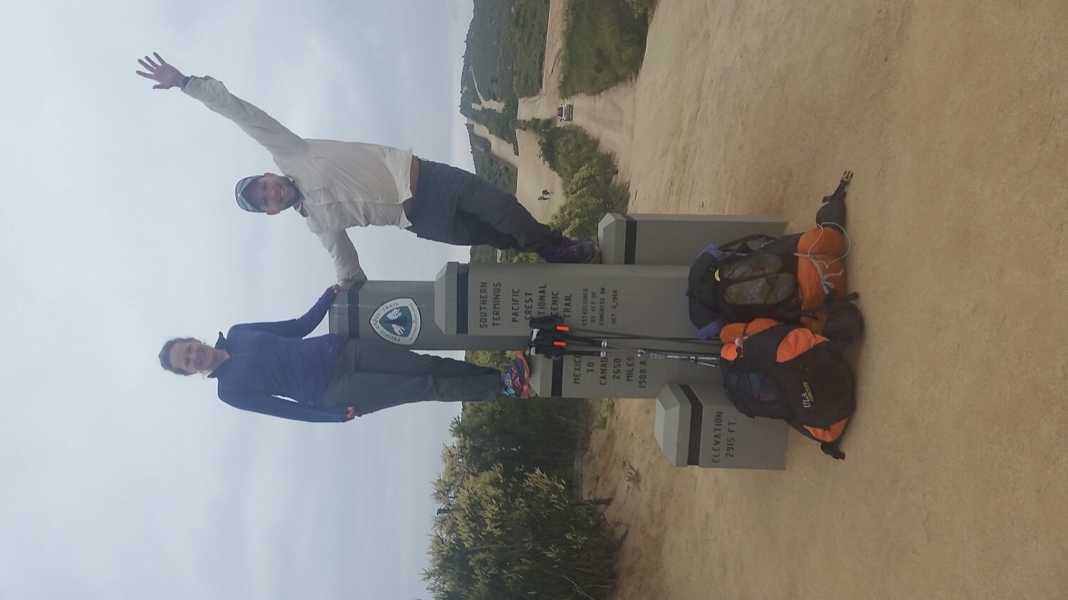
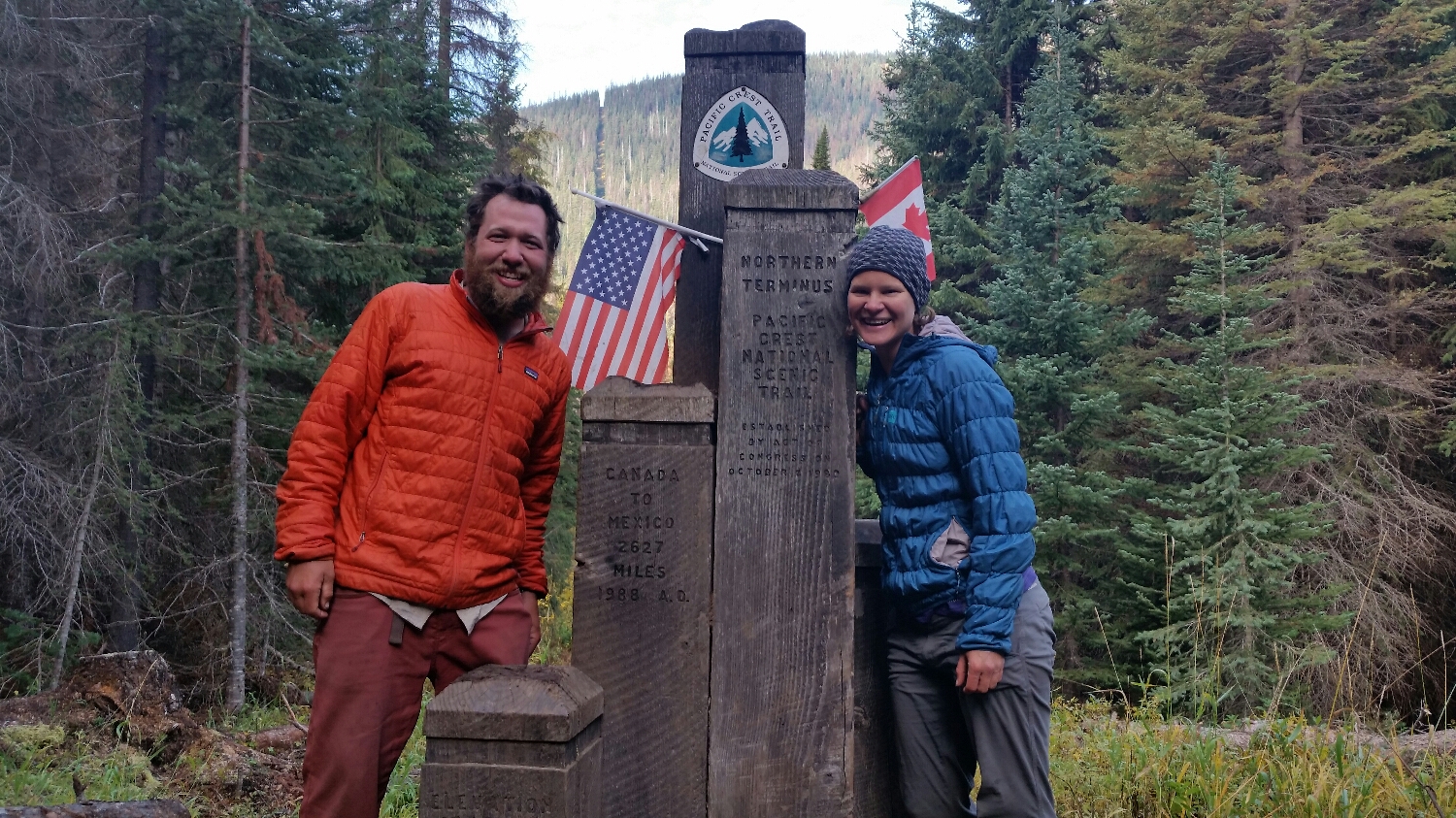
On the morning of September 28th SketchPad and I crossed the US/Canadian border and completed our 2,651 mile journey from Mexico to Canada. We had an extended photo shoot (many of my pictures are not safe for work). There is just a small monument at the border, identical to the one at the Mexican border. It was simple, just like it is supposed to be. We stayed at the border for about 2 hrs and then hiked on into Canada another 9 miles to get to a Providential Park where we would start our journey back to the United States and eventually to Washington DC.
………
So now what? I have now completed two thru hikes and SketchPad has completed her first. What we experienced on the trail cannot really be put into words. Saying the trail was hard would be a major understatement. I cannot accurately explain everything we physically went through. I know we are pretty badass for doing it, especially SketchPad who walked the entire way with major foot problems, but stuck to it and worked through more pain than I think most people could ever handle.
With that being said, the trail was the easy part compared to the relationship. This blog was meant to serve as a check in with friends and family and to provide a small glimpse into trail life. I purposely left out most personal discussions. With that being said, hiking with SketchPad was the hardest thing I have ever done in my life. I said in my last blog post for the Appalachian Trail that the key to happiness is to Be Simple, Be Kind and Be Strong and I still believe that. The AT taught me to be simple and I thought I understood what kindness was until I was given the opportunity to hike everyday, and every footstep with my partner only a few feet ahead or behind. I am grateful for the experience, even with how hard it was, and at times uncertain. To have had the opportunity to walk with someone who could hold up a mirror and show me what I need to be in order to reach my full potential is truly a once-in-a-lifetime experience. We both took a huge chance coming out to the trail together, but risks pay off when you dedicate all of your time and effort to them.
At the end of it all I have to say the trail and the relationship were very similar:
-Sometimes the path was obvious and sometimes you were off trail and didn’t even know it
-You don’t gain any distance without significant effort
-There is no secret to hiking except taking a bunch of small footsteps
-There are other hikers going at their own pace and doing their own thing, but they have no bearing on your hike
-If you didn’t stop to take in the views, was it really a successful day of hiking?
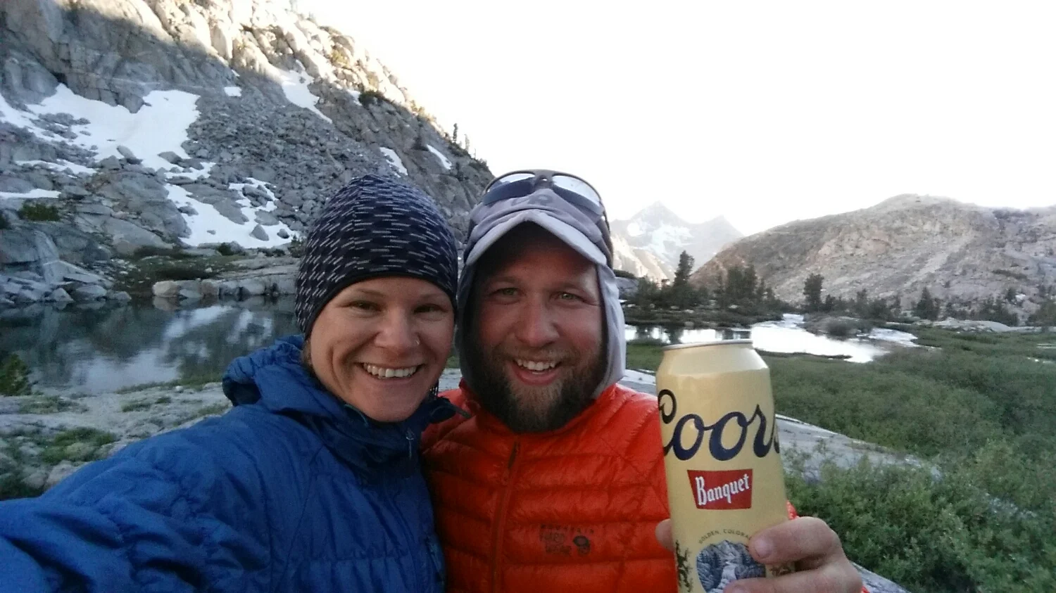
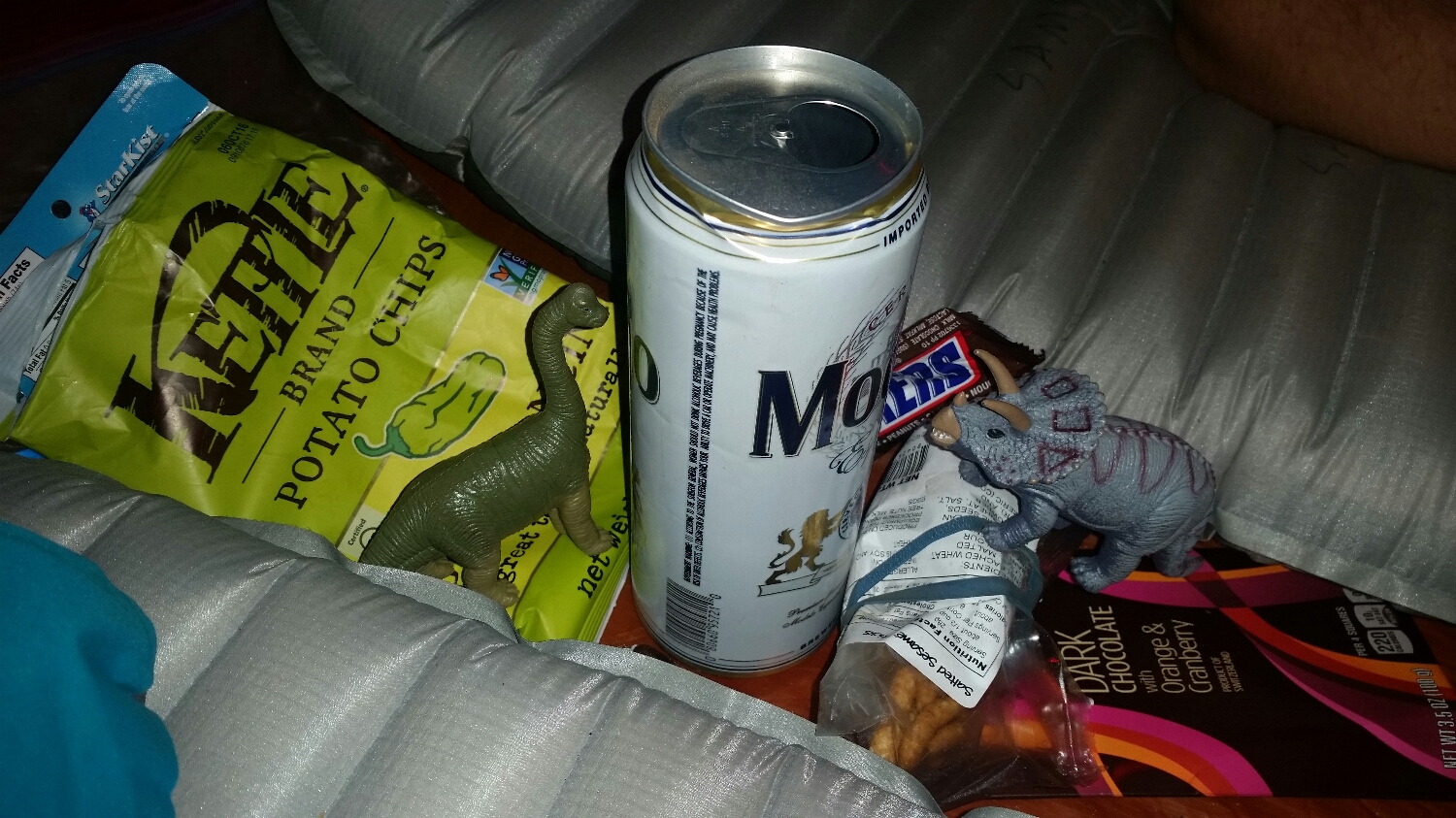
-And don’t forget a little bourbon solves all problems :)
Take care and thanks for reading,
Samson-The-Bear
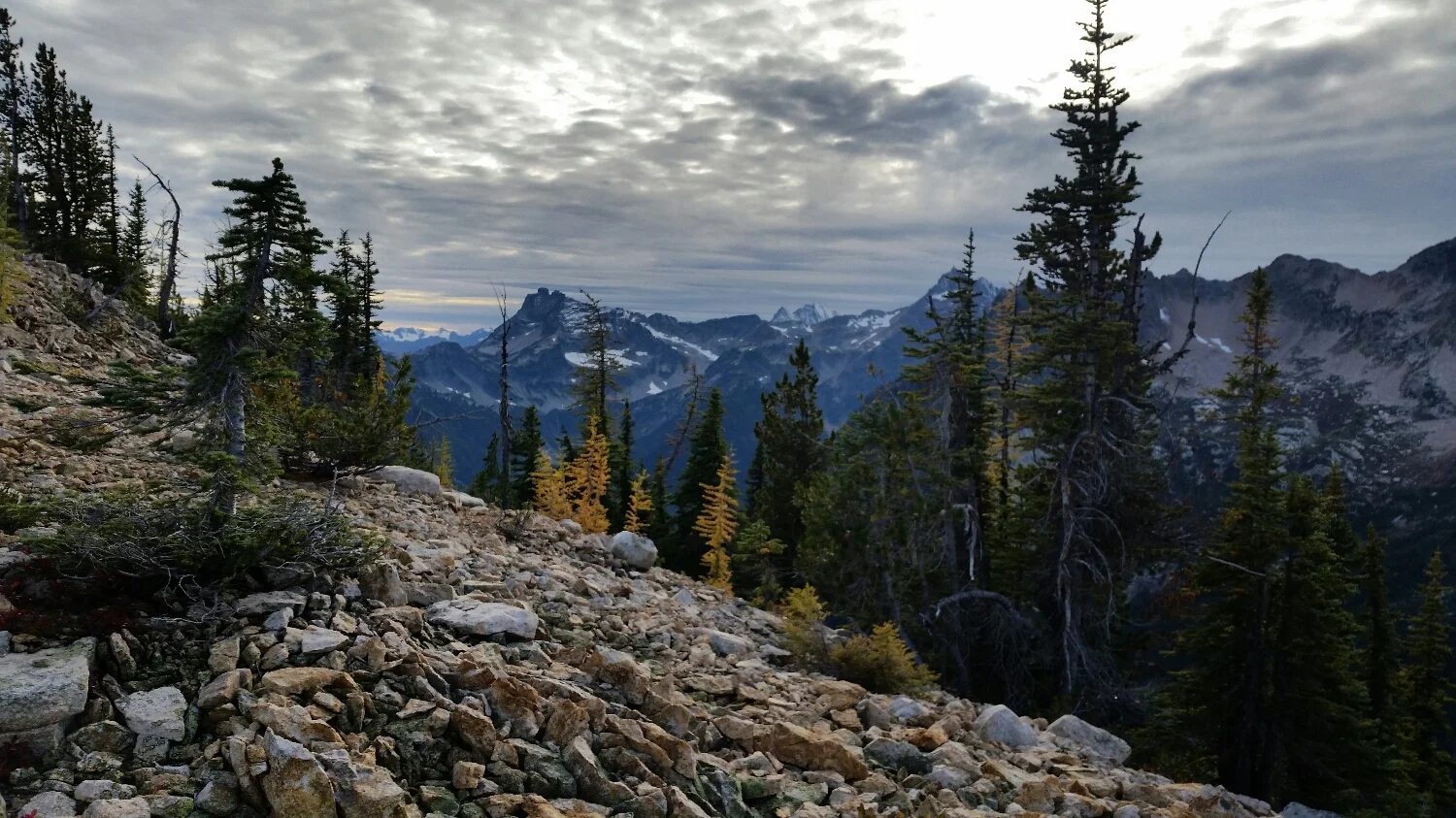
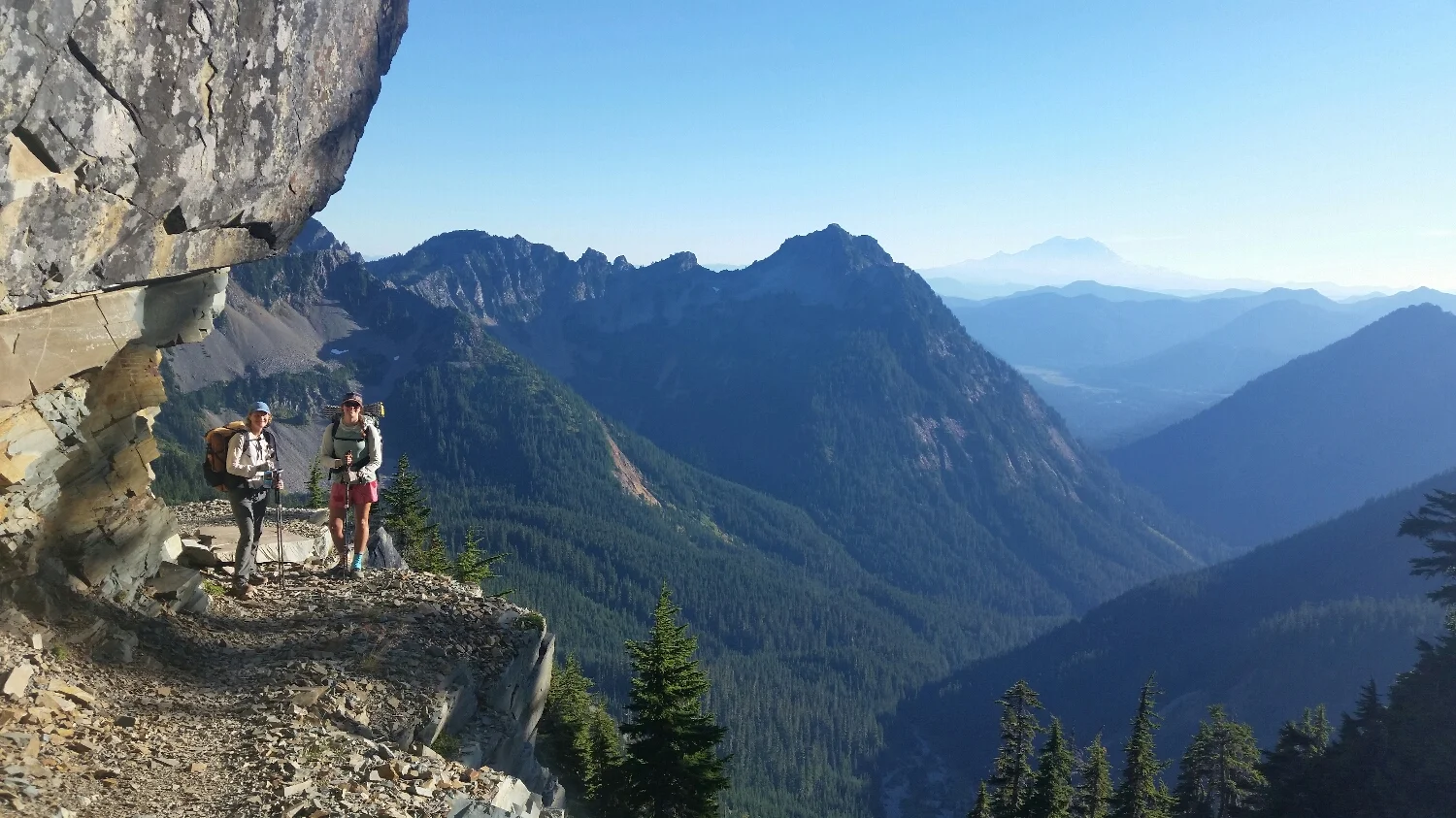
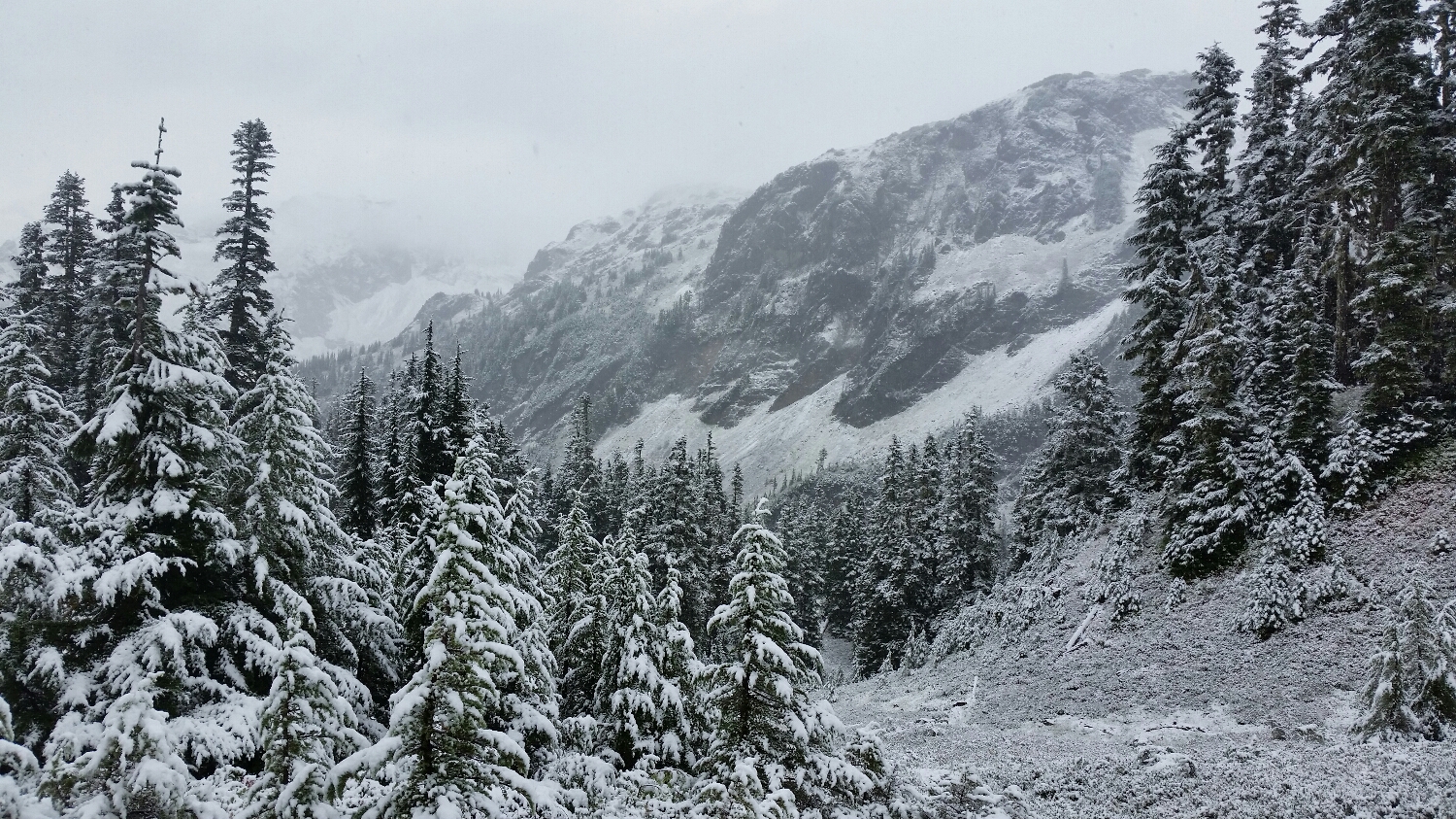
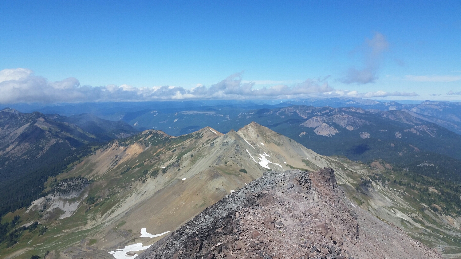
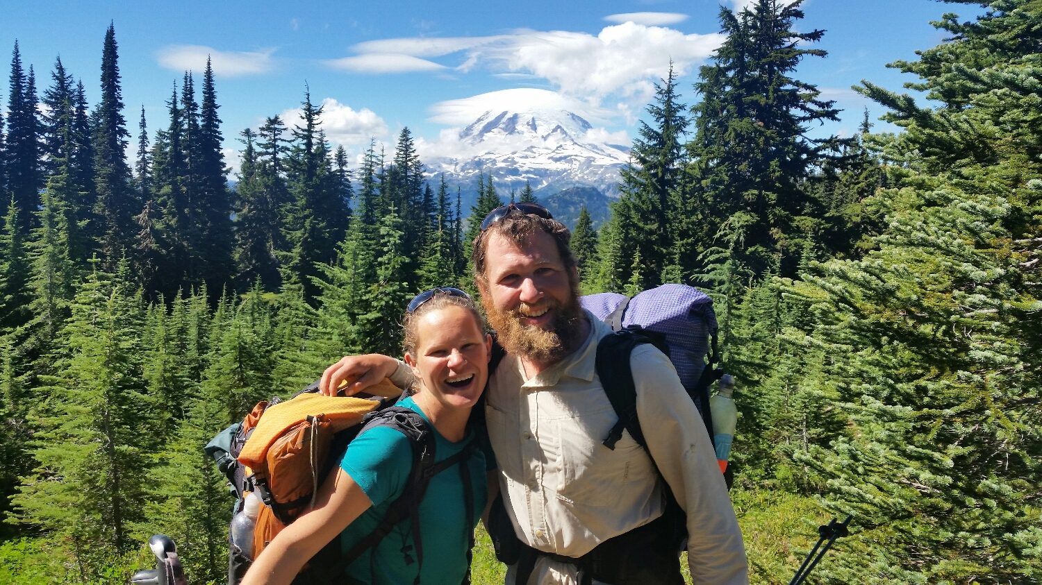
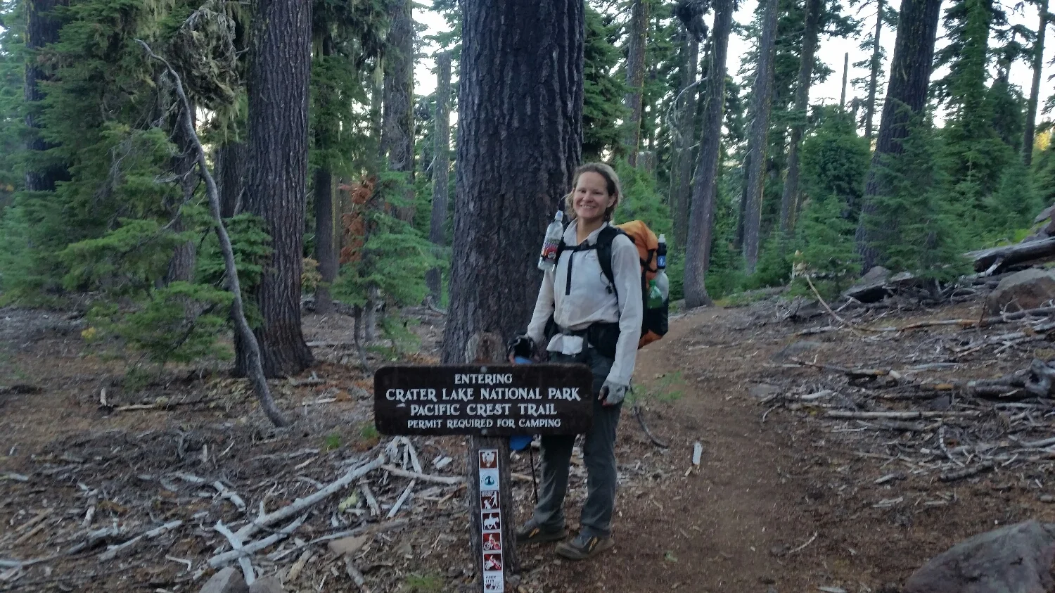
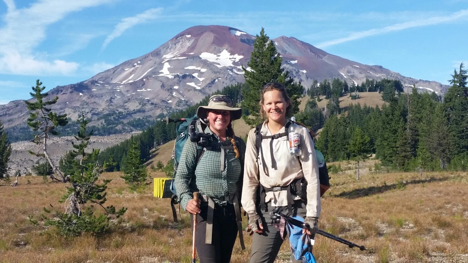
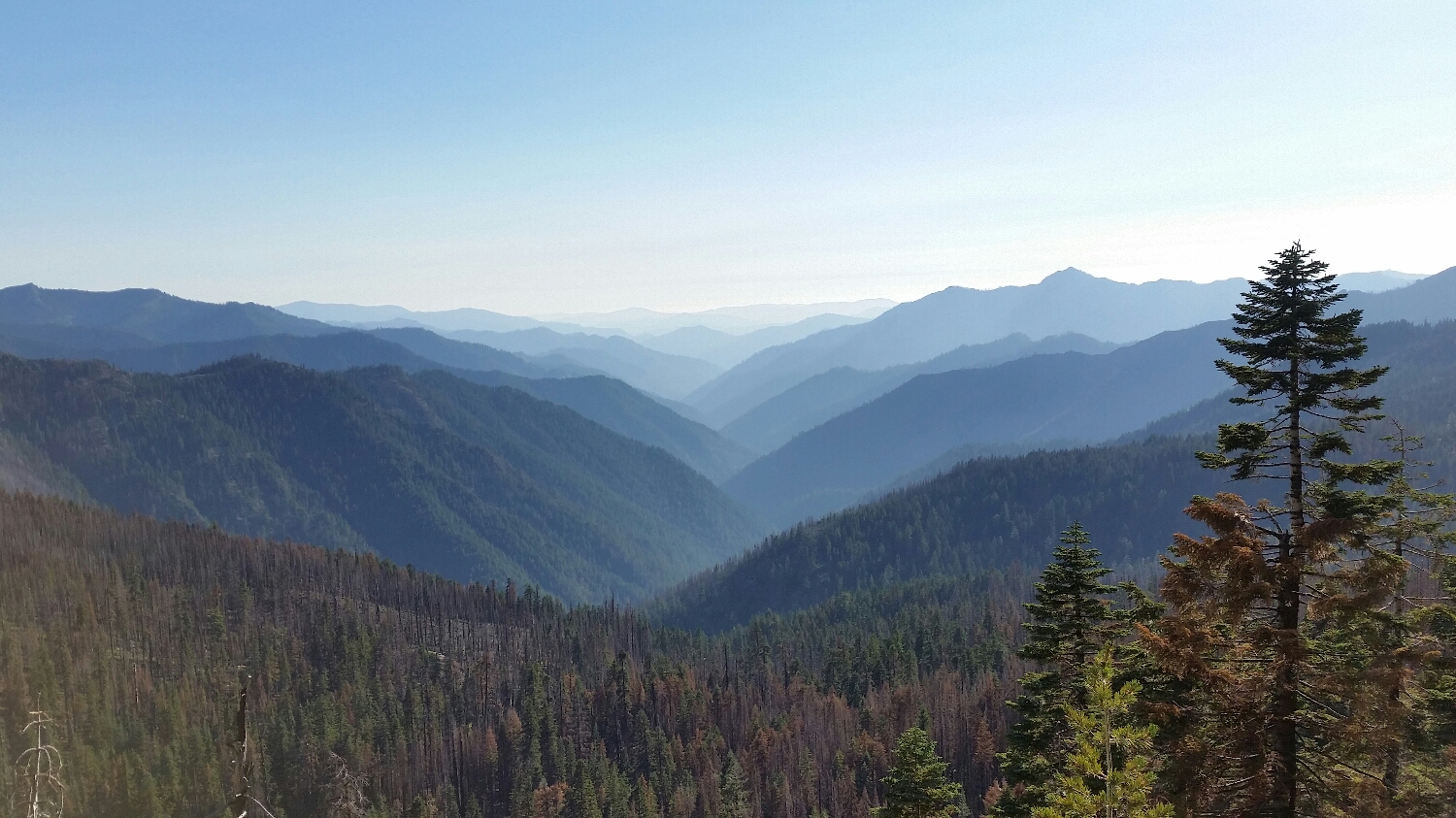
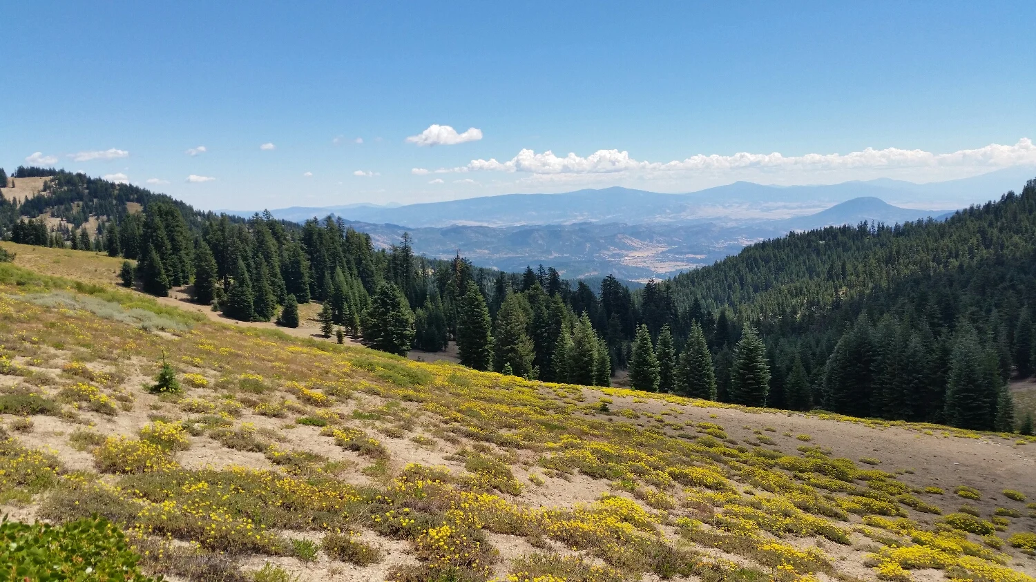
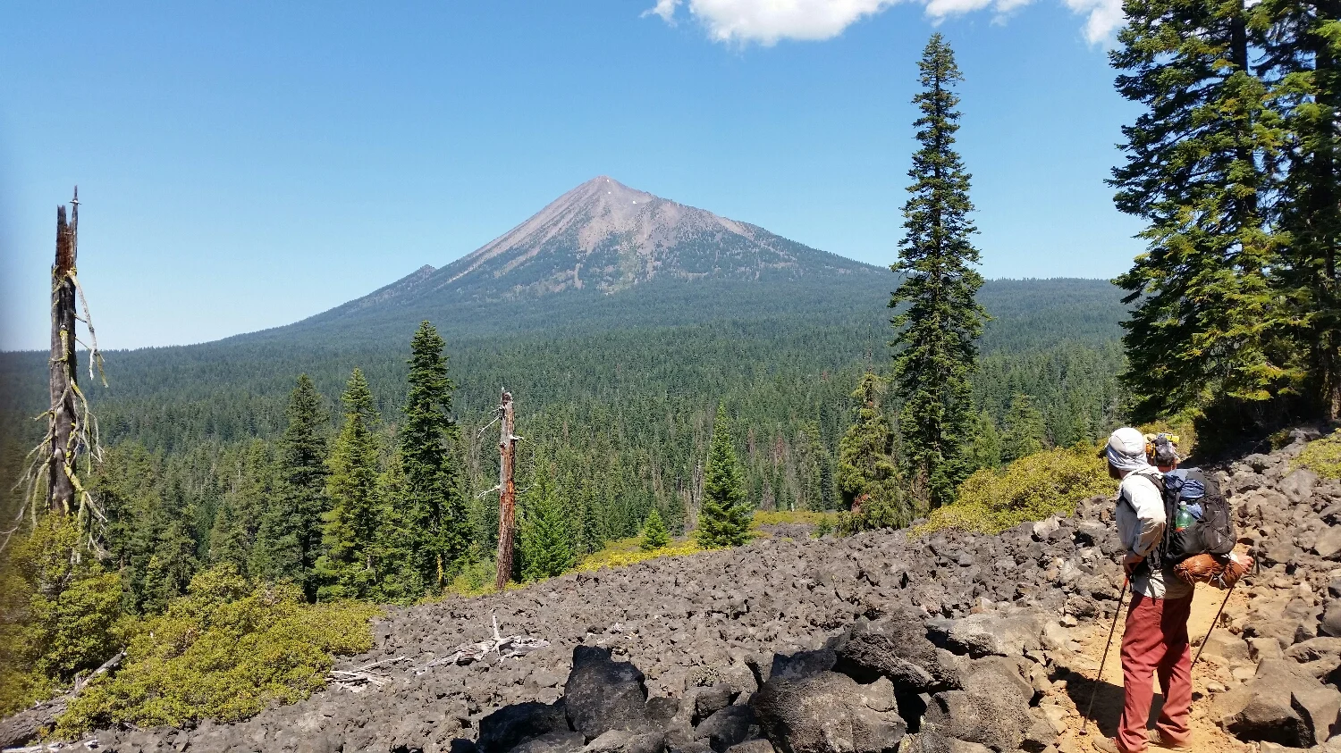
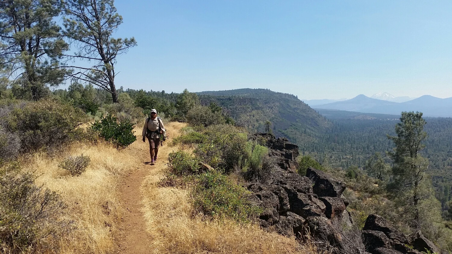
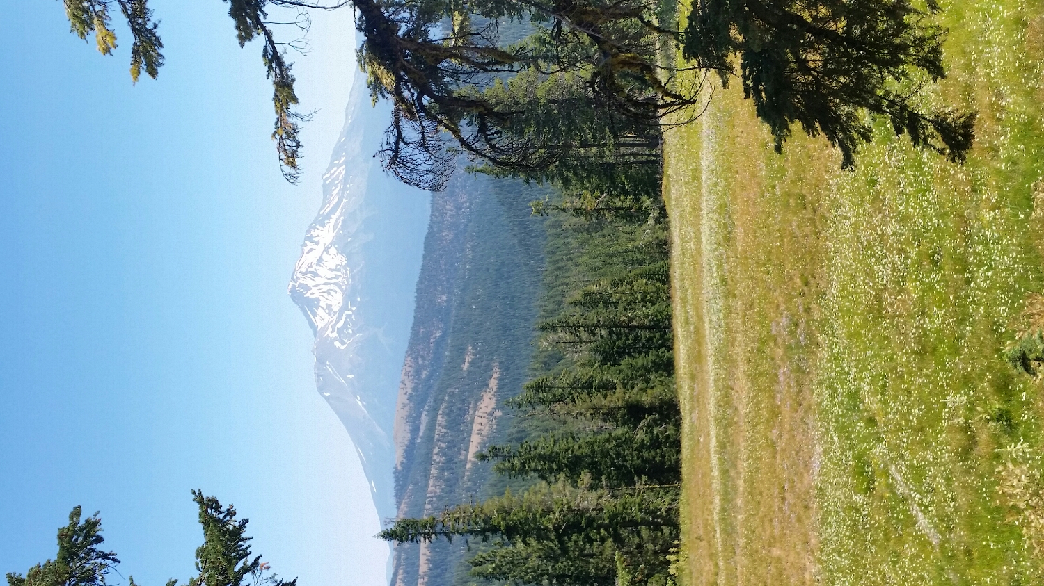
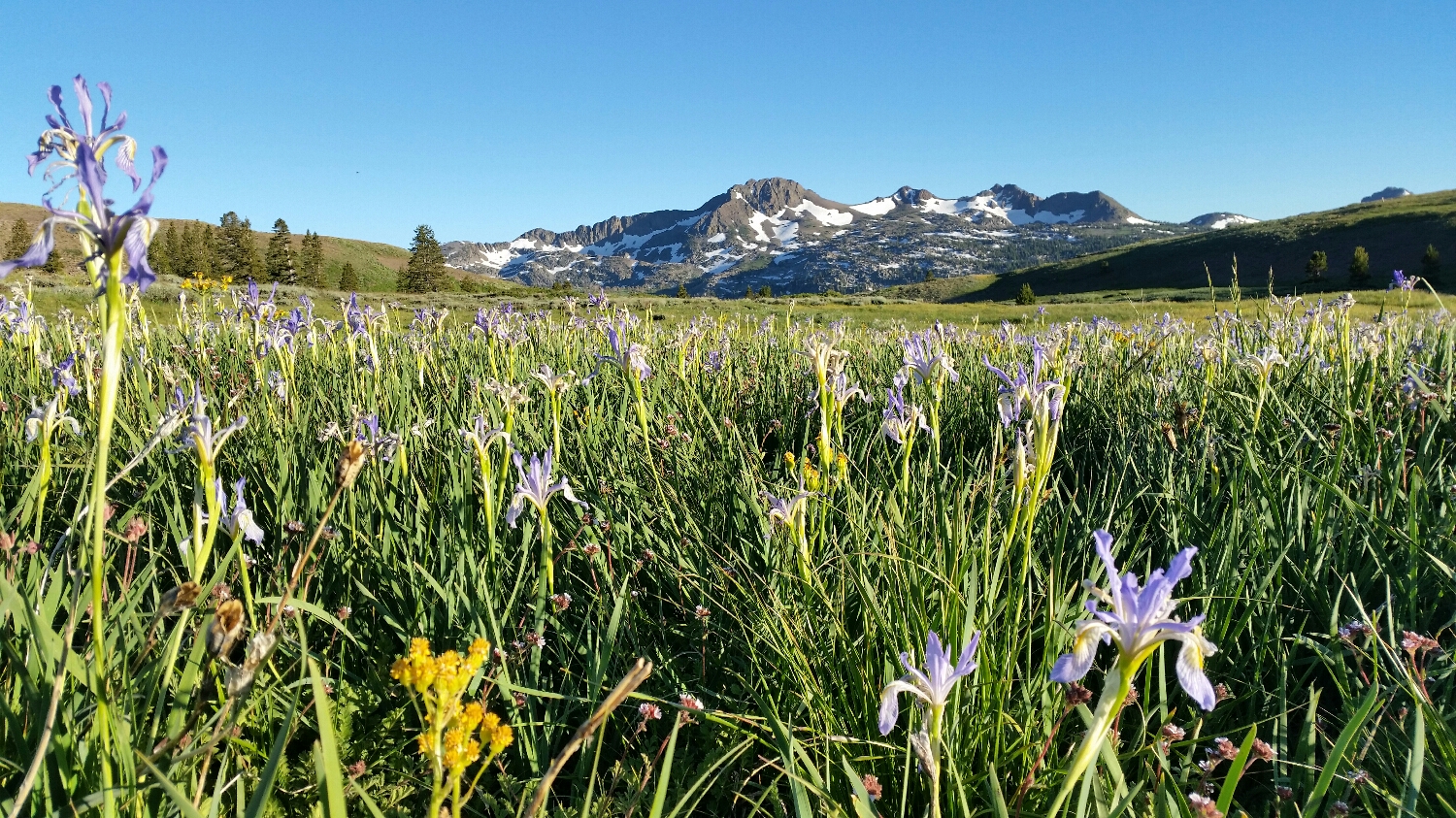
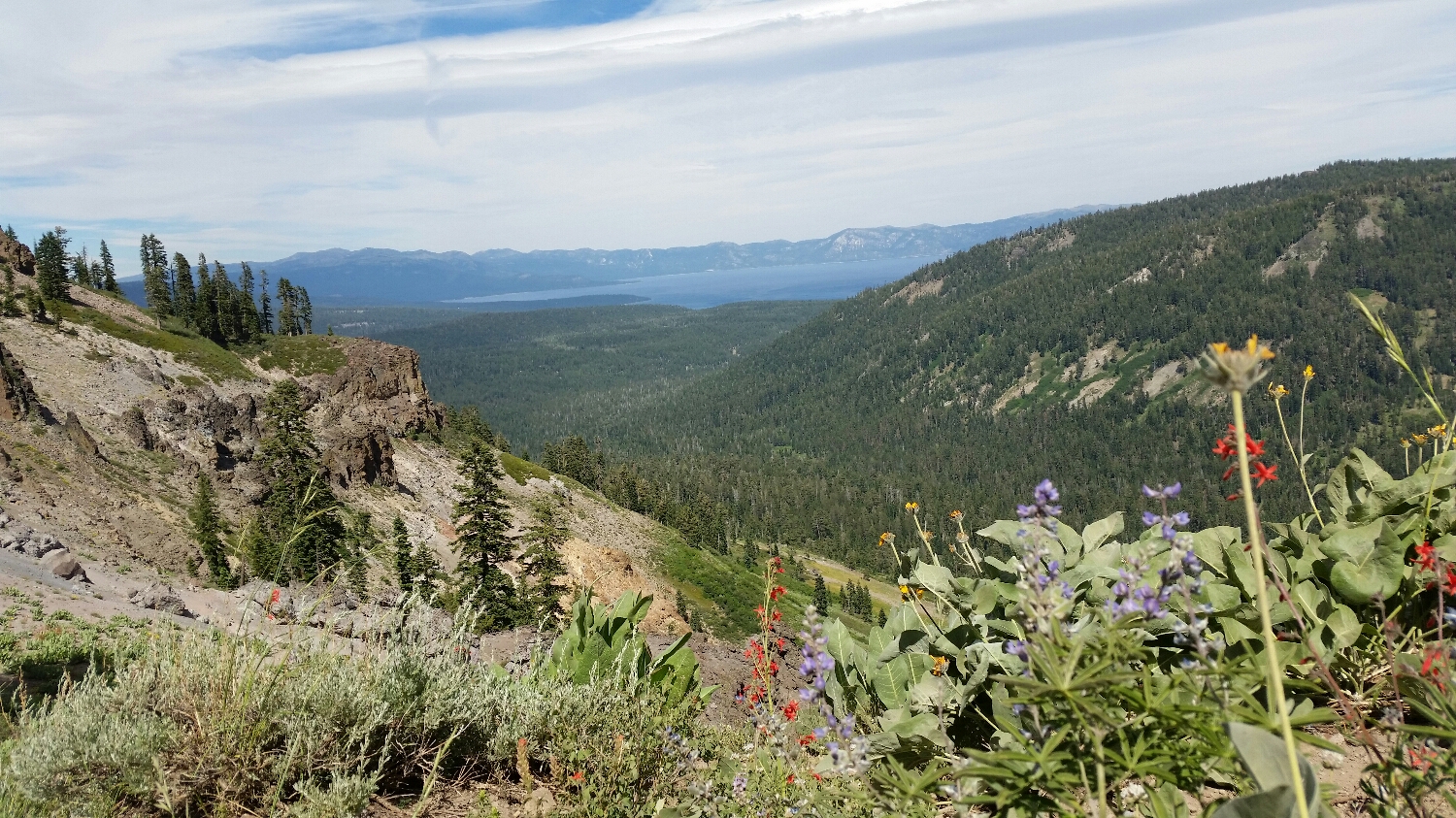
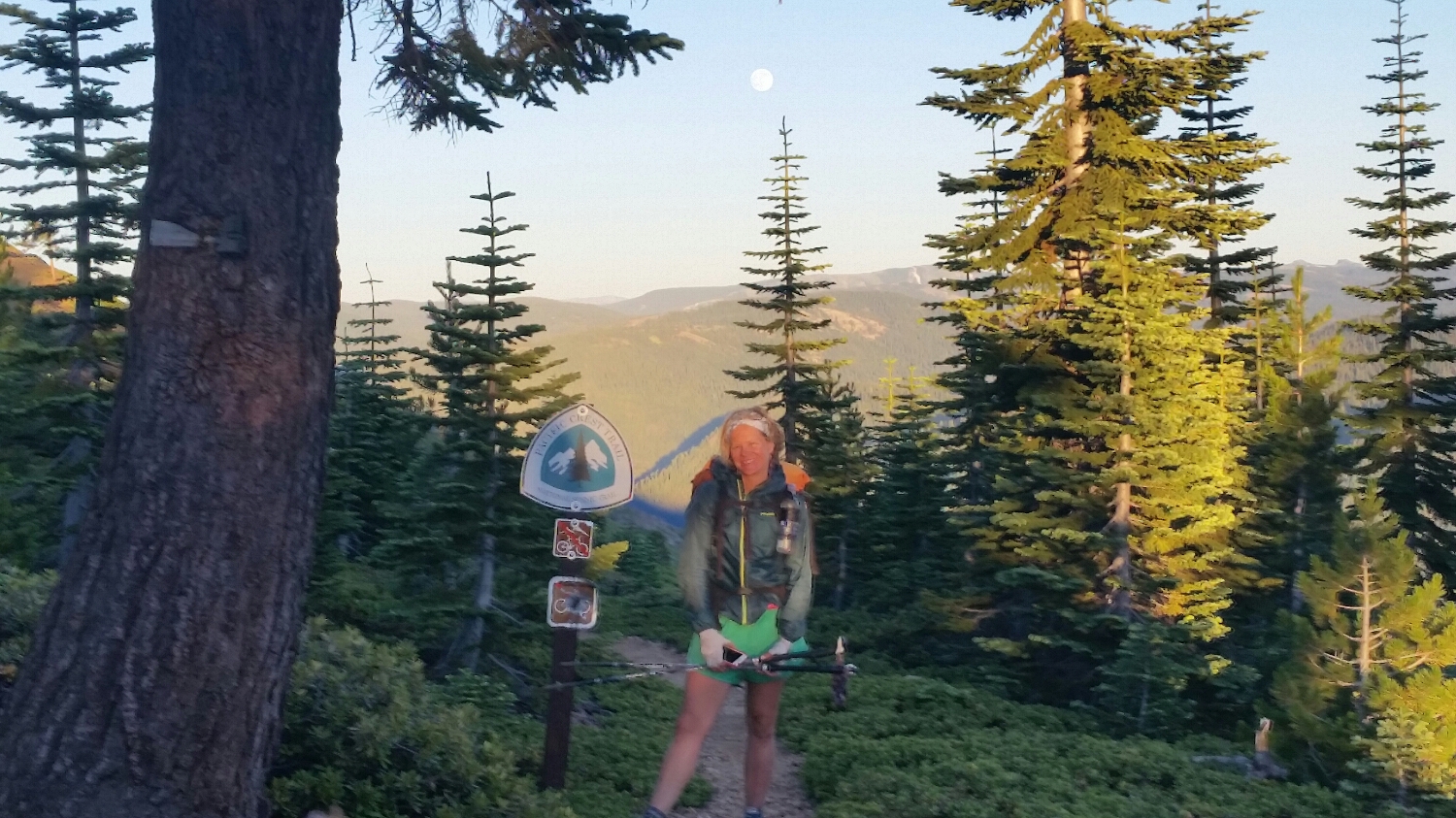
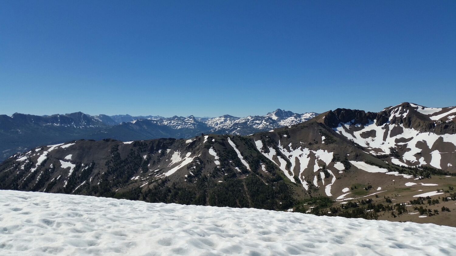
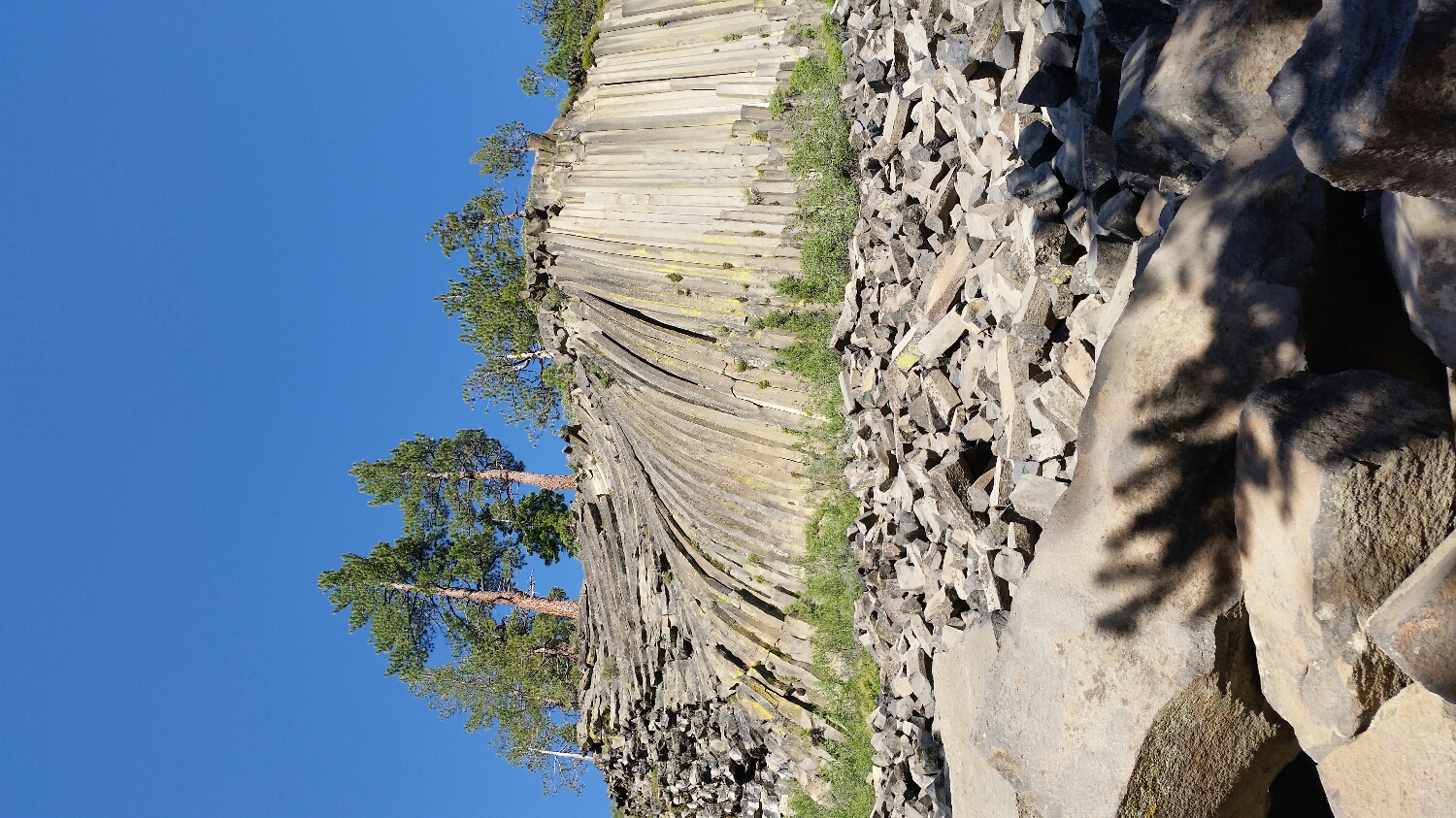
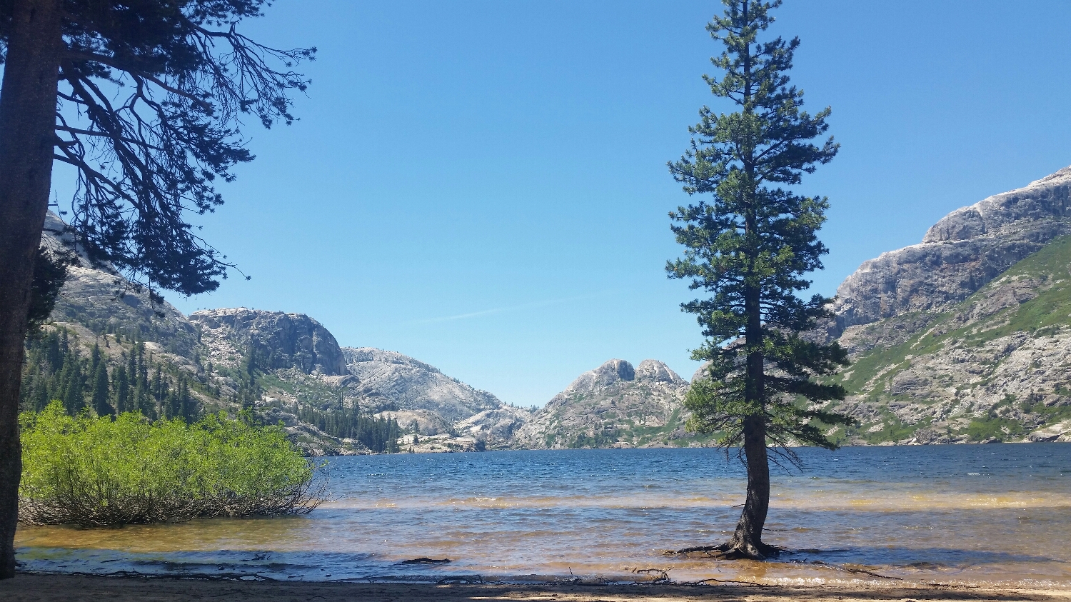
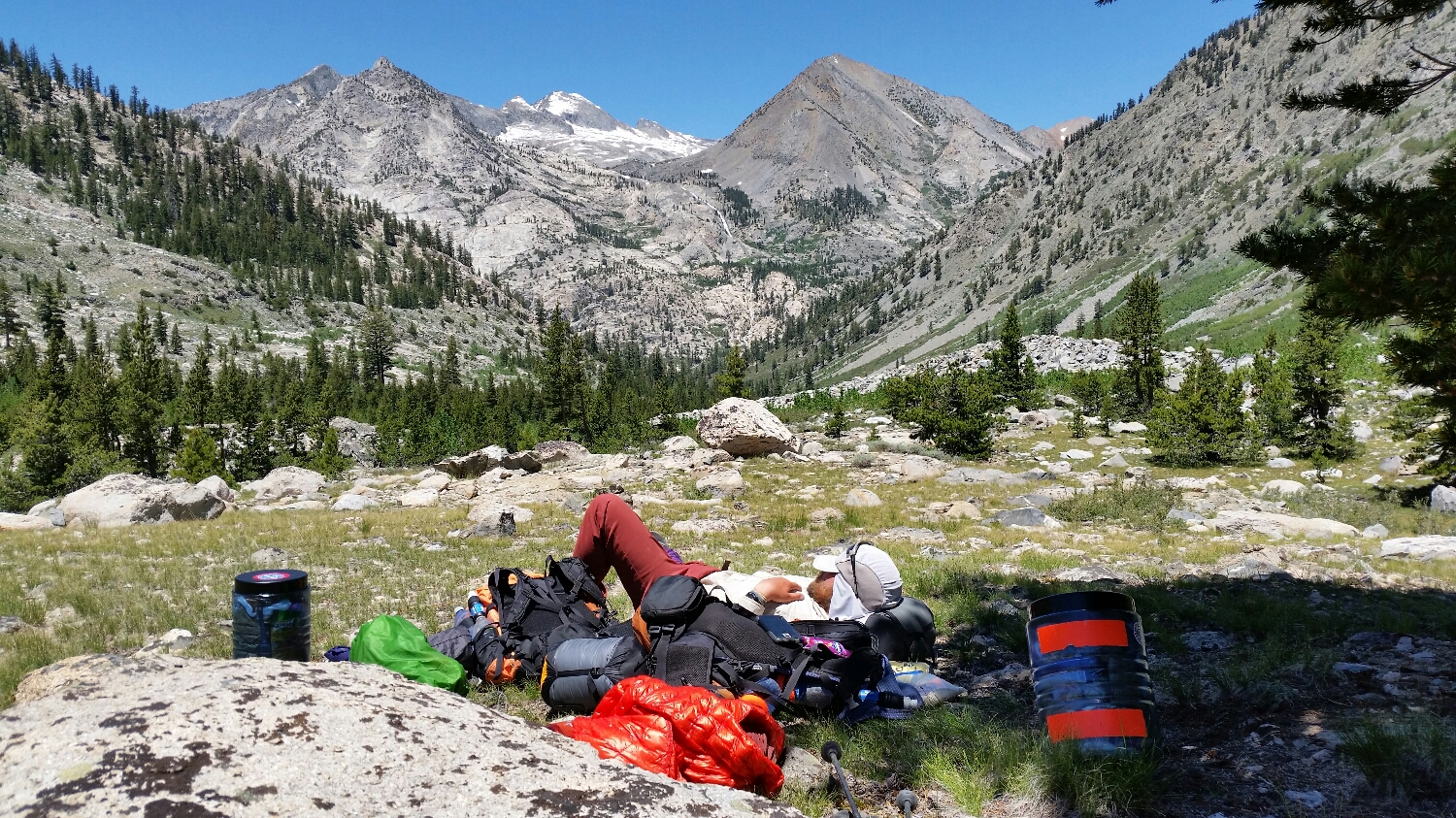
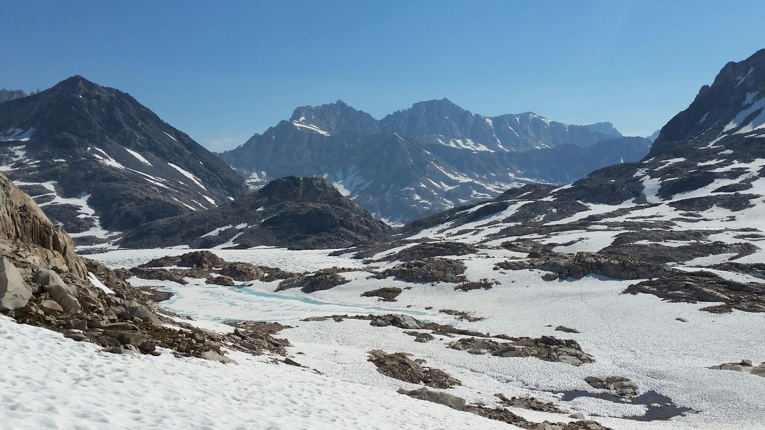
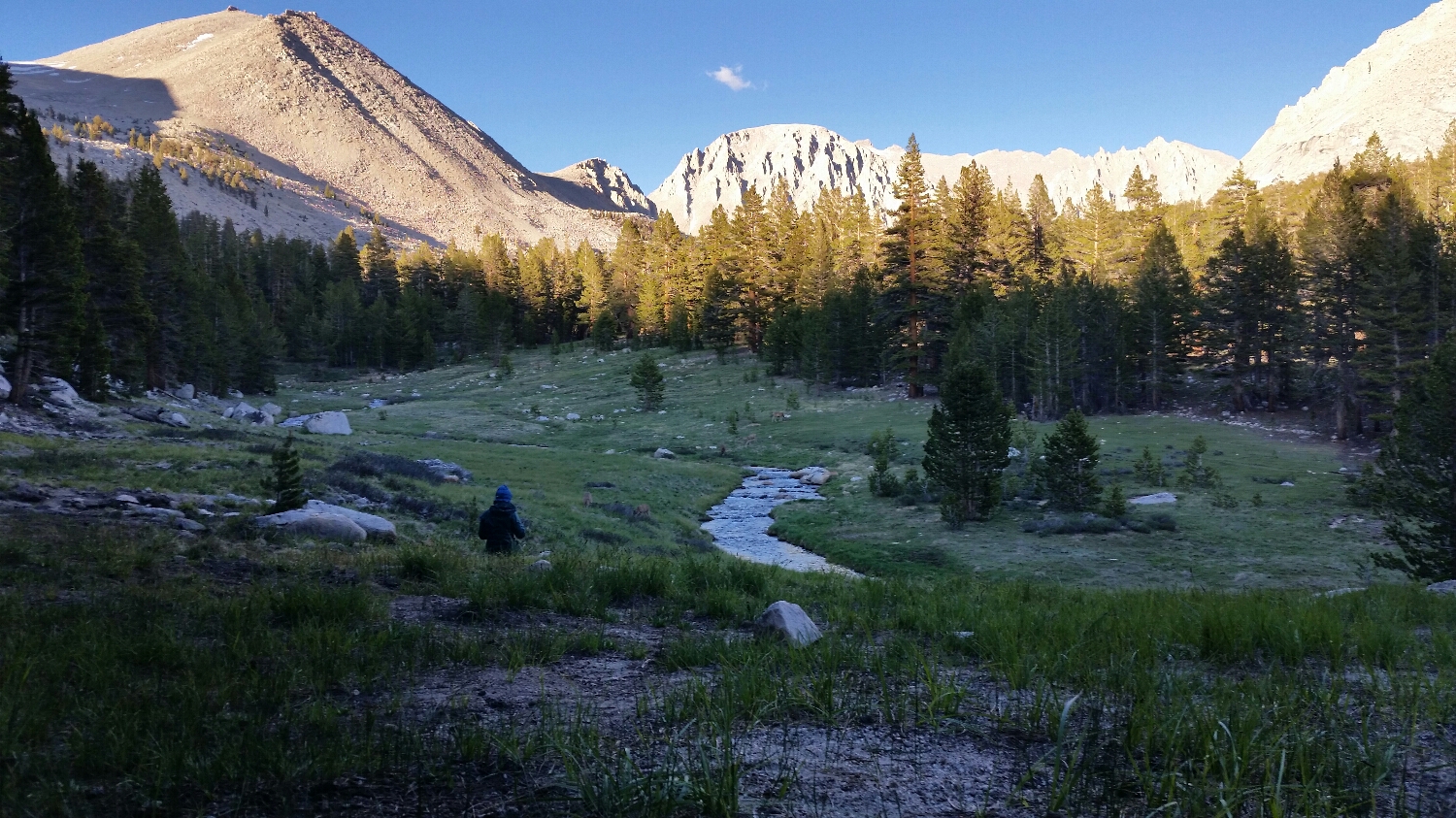
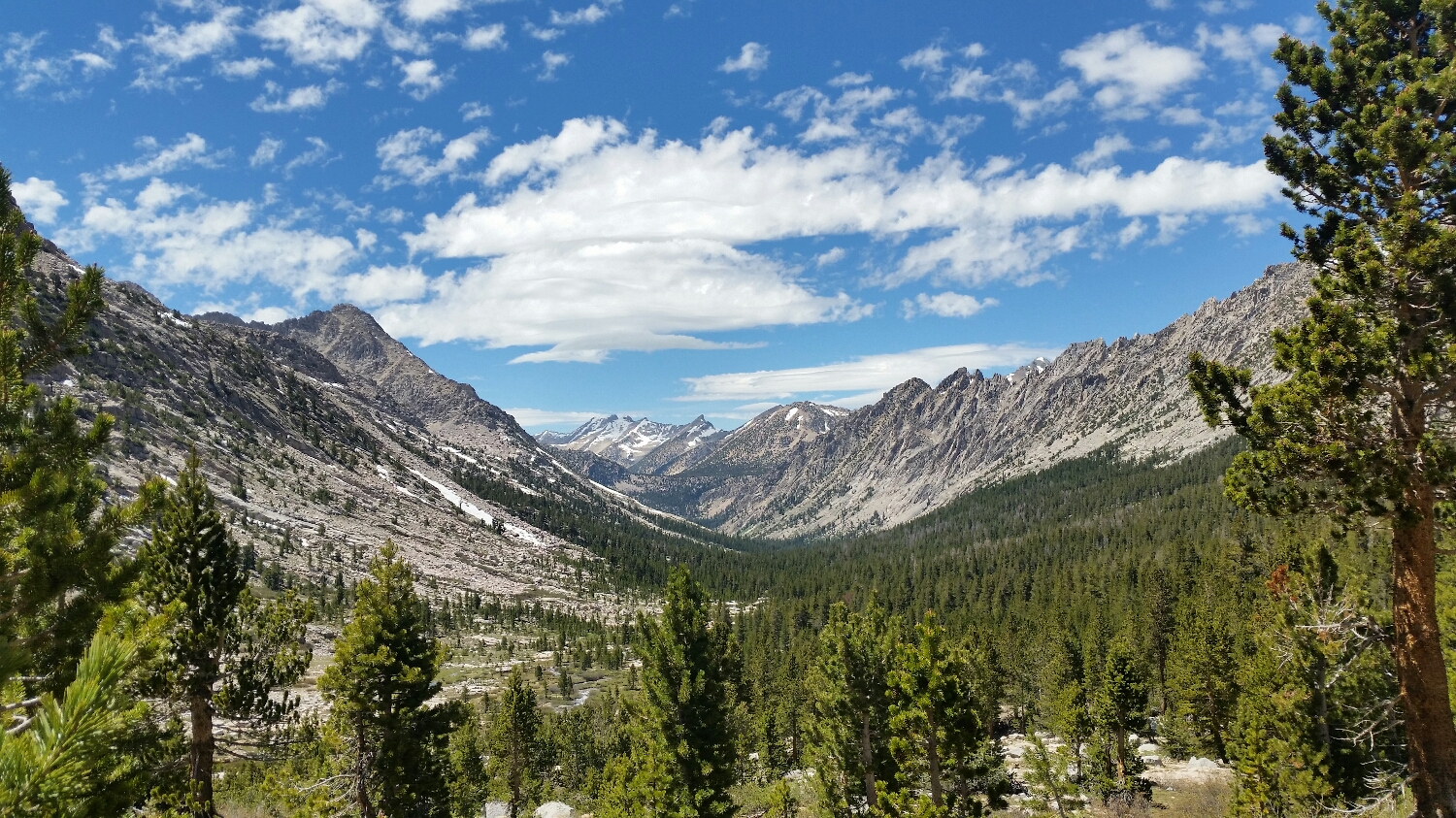
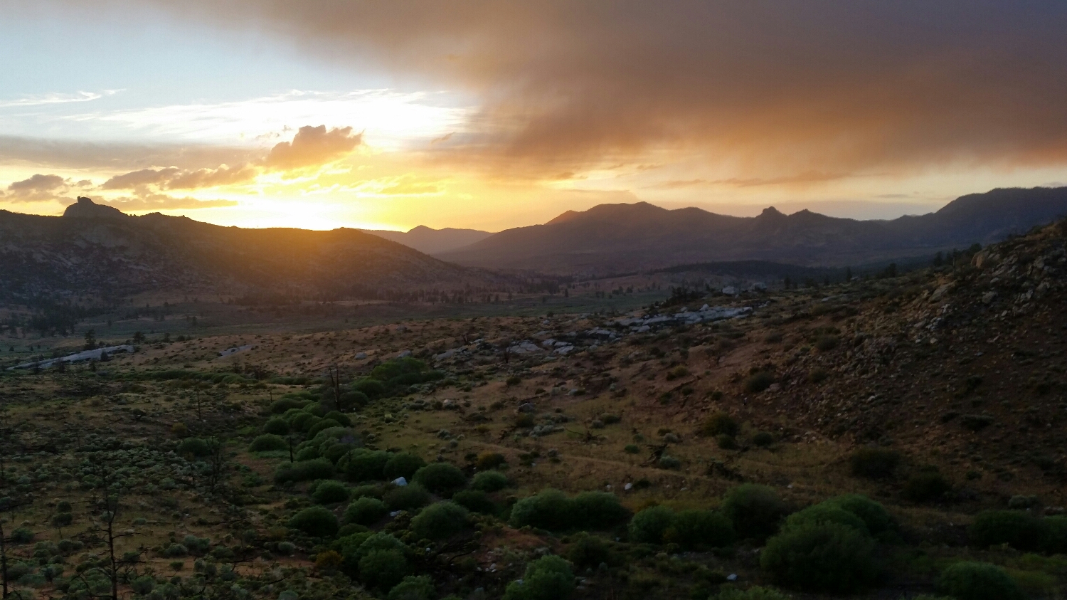
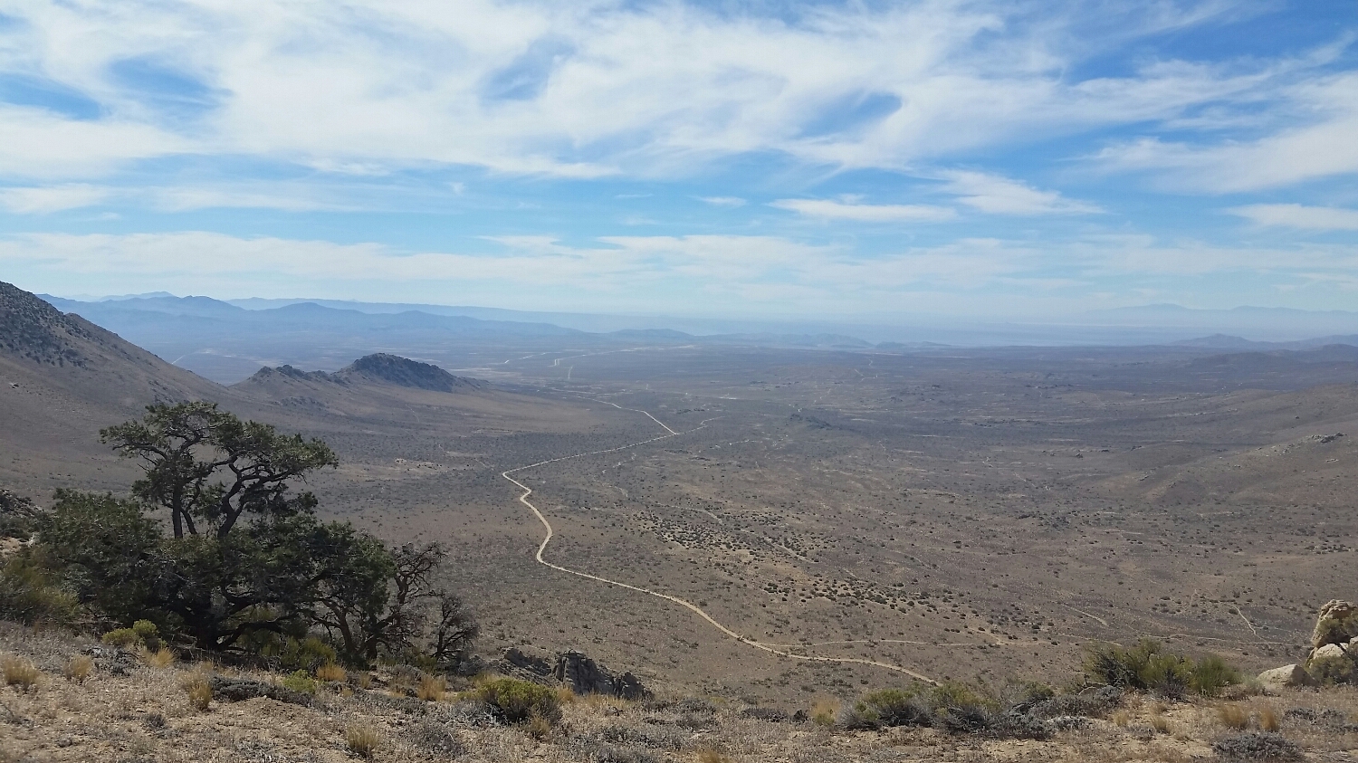
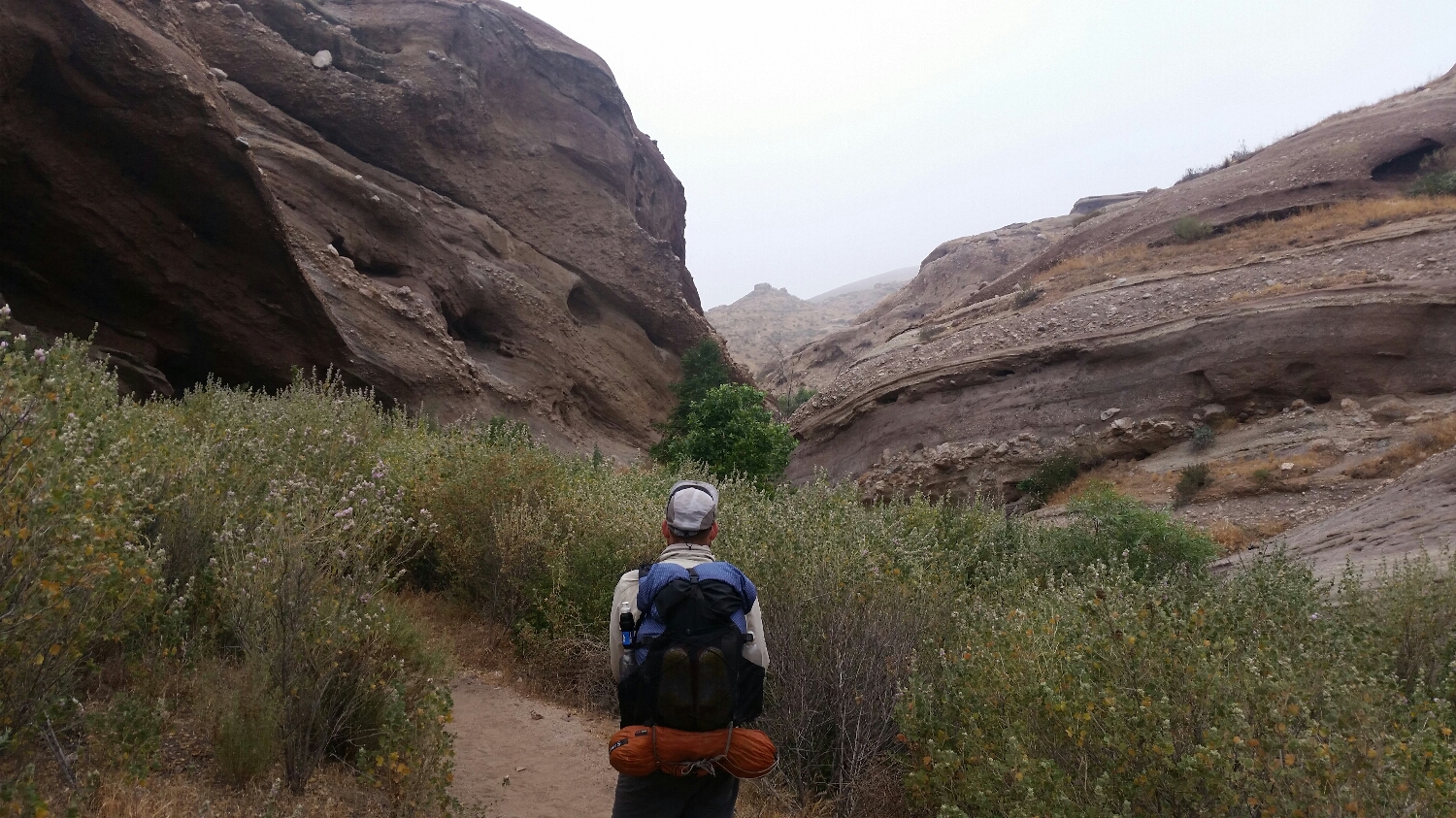
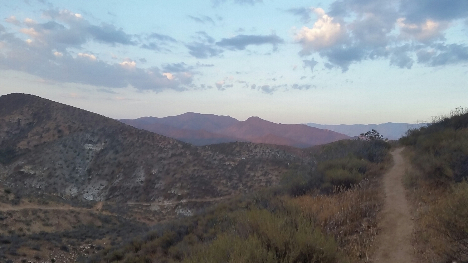
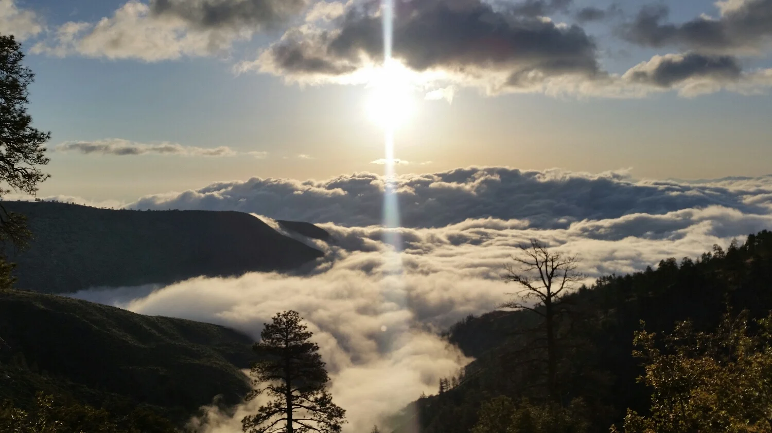
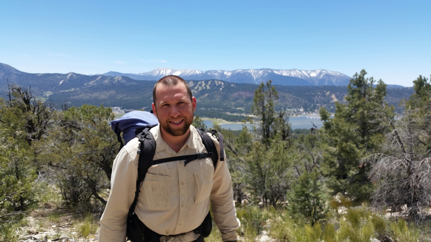
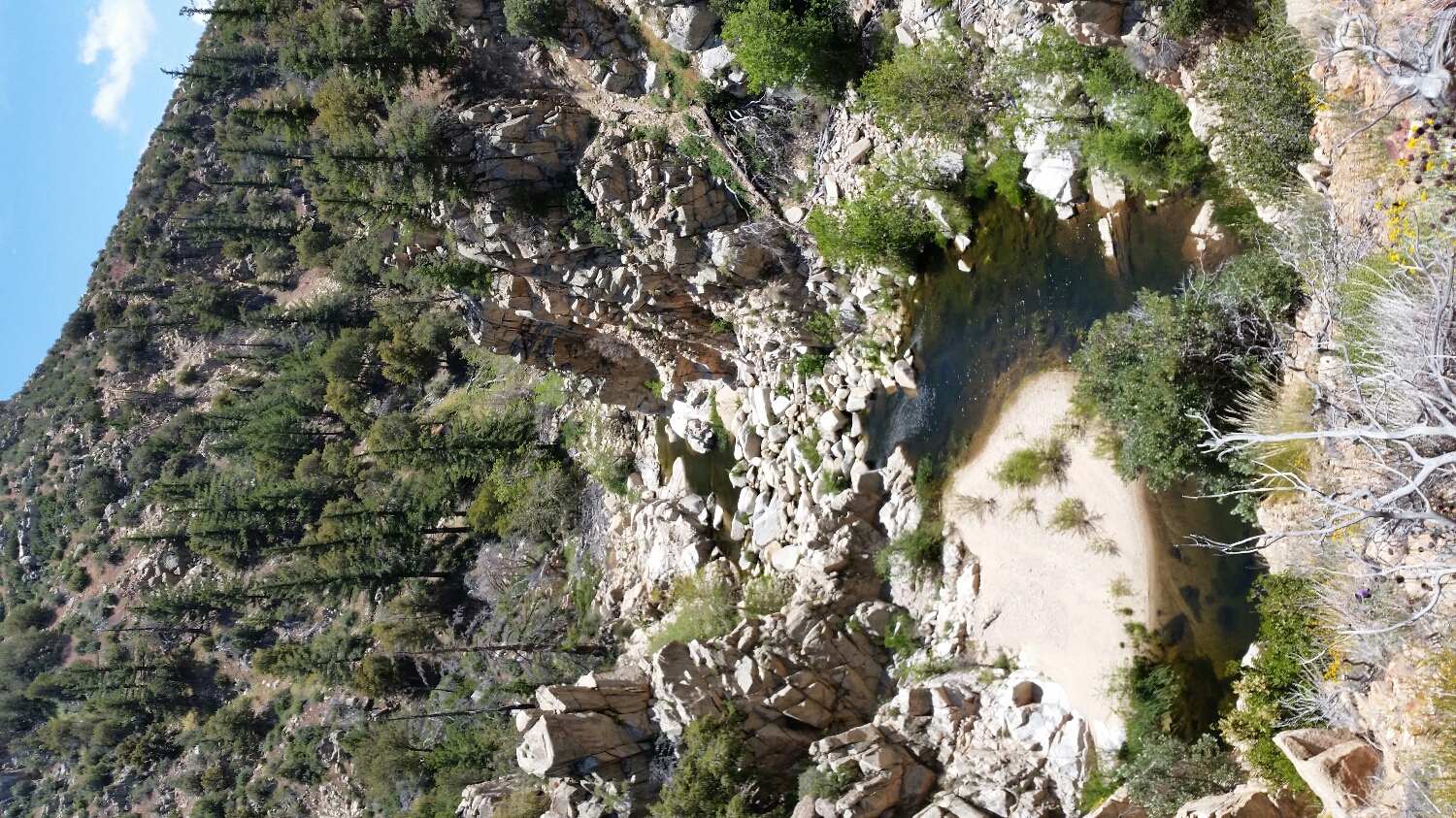
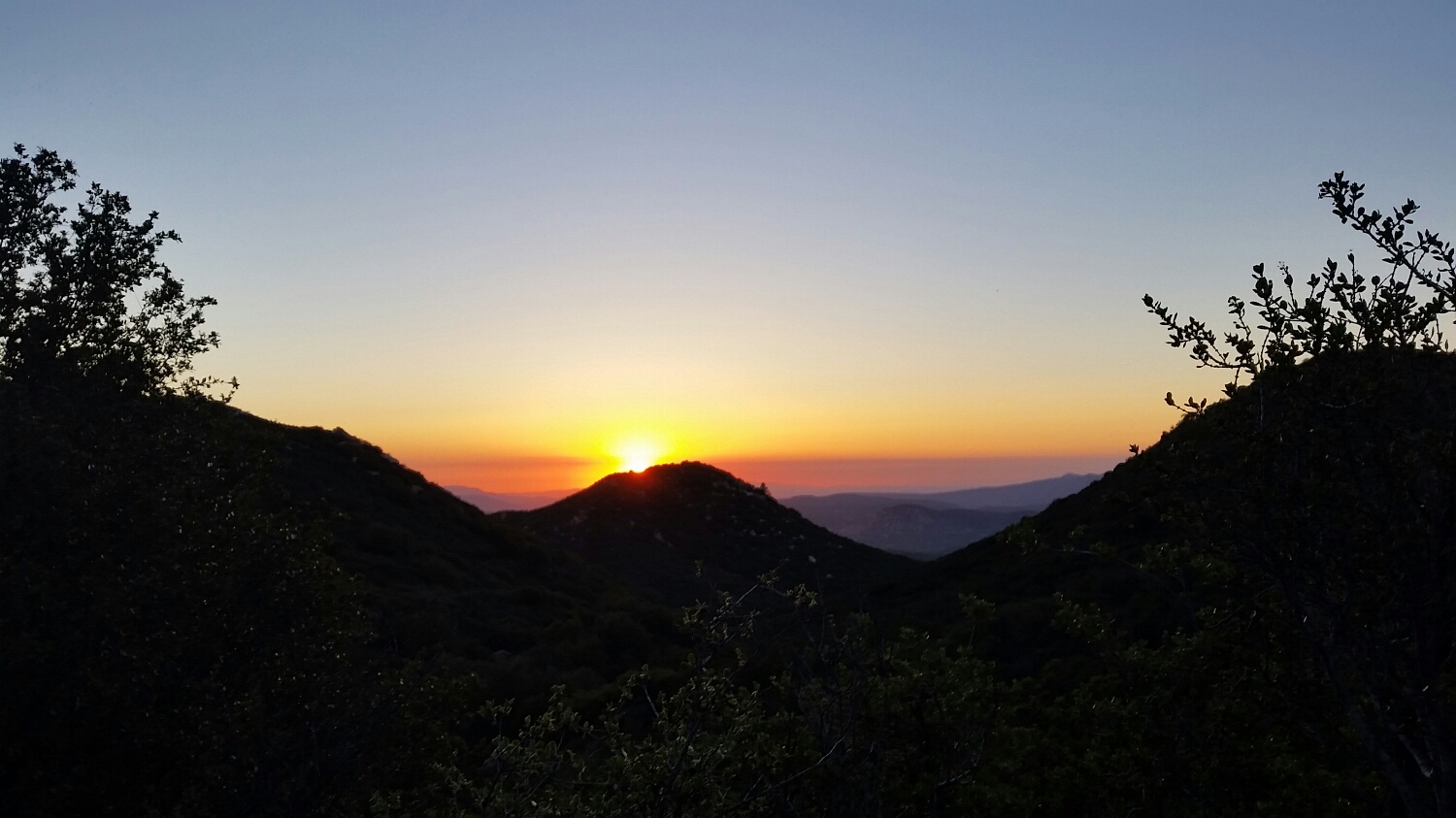
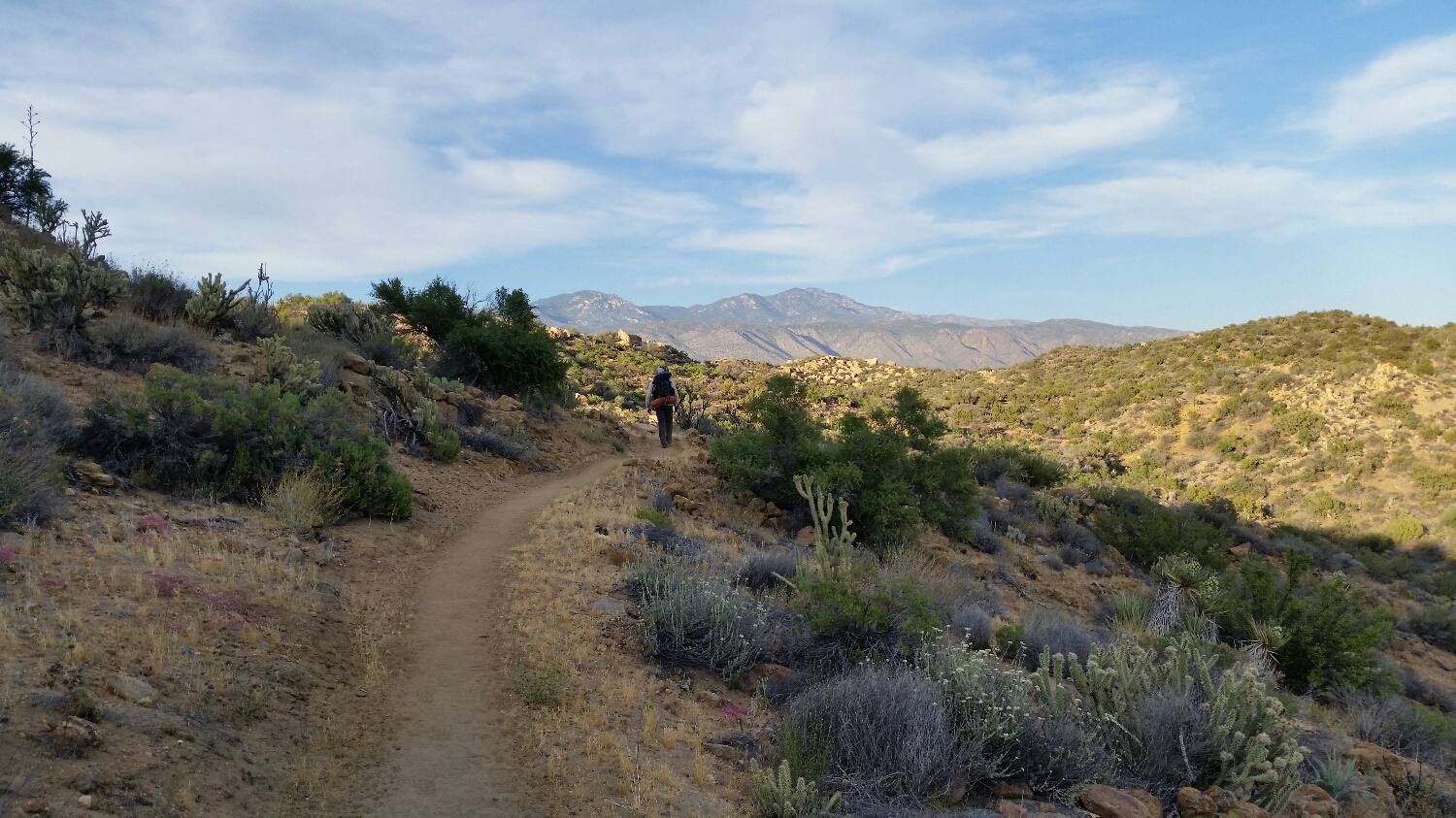
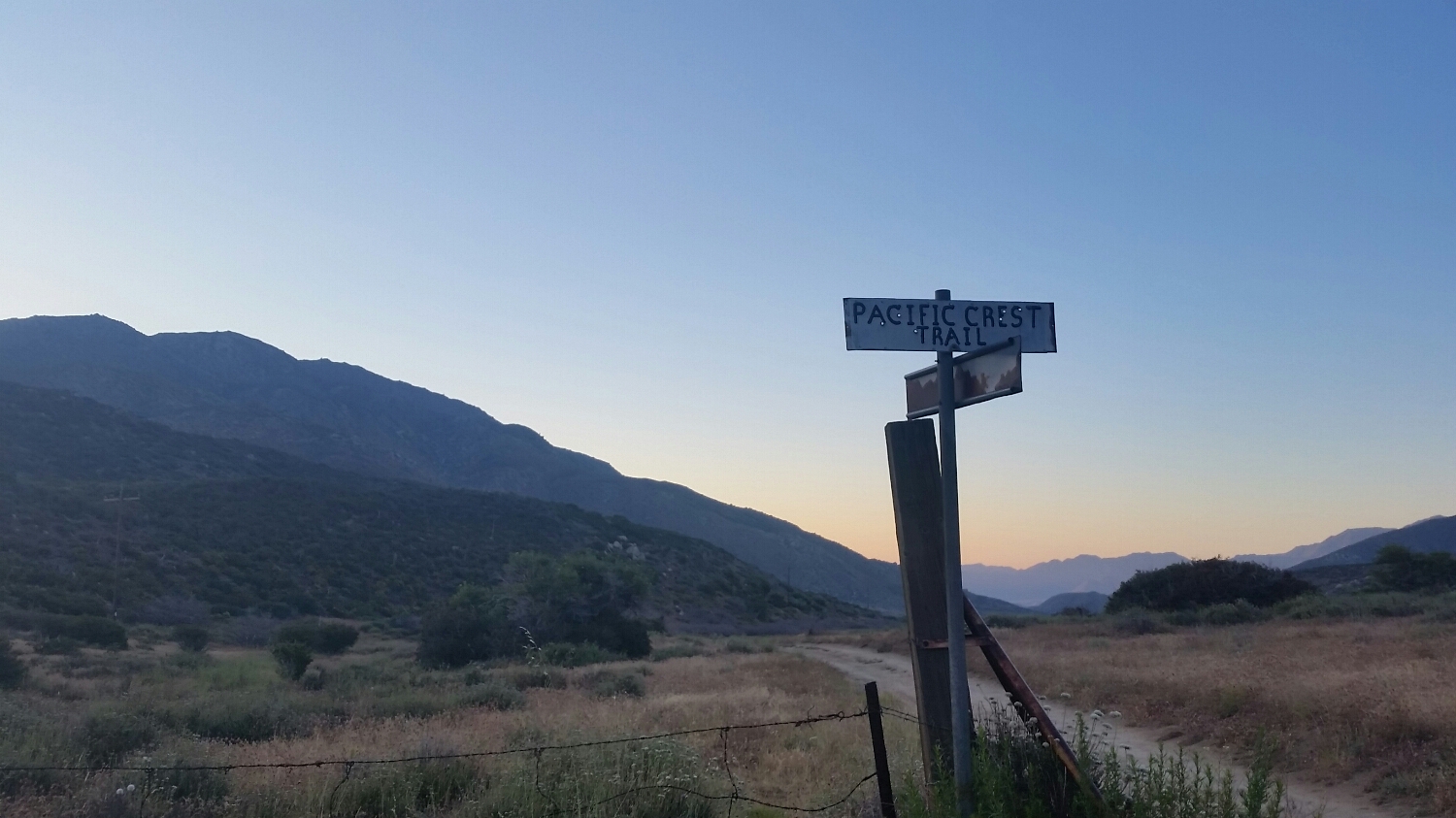
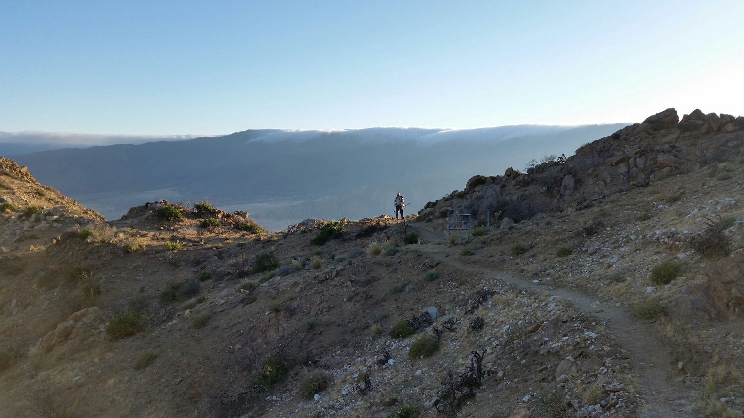
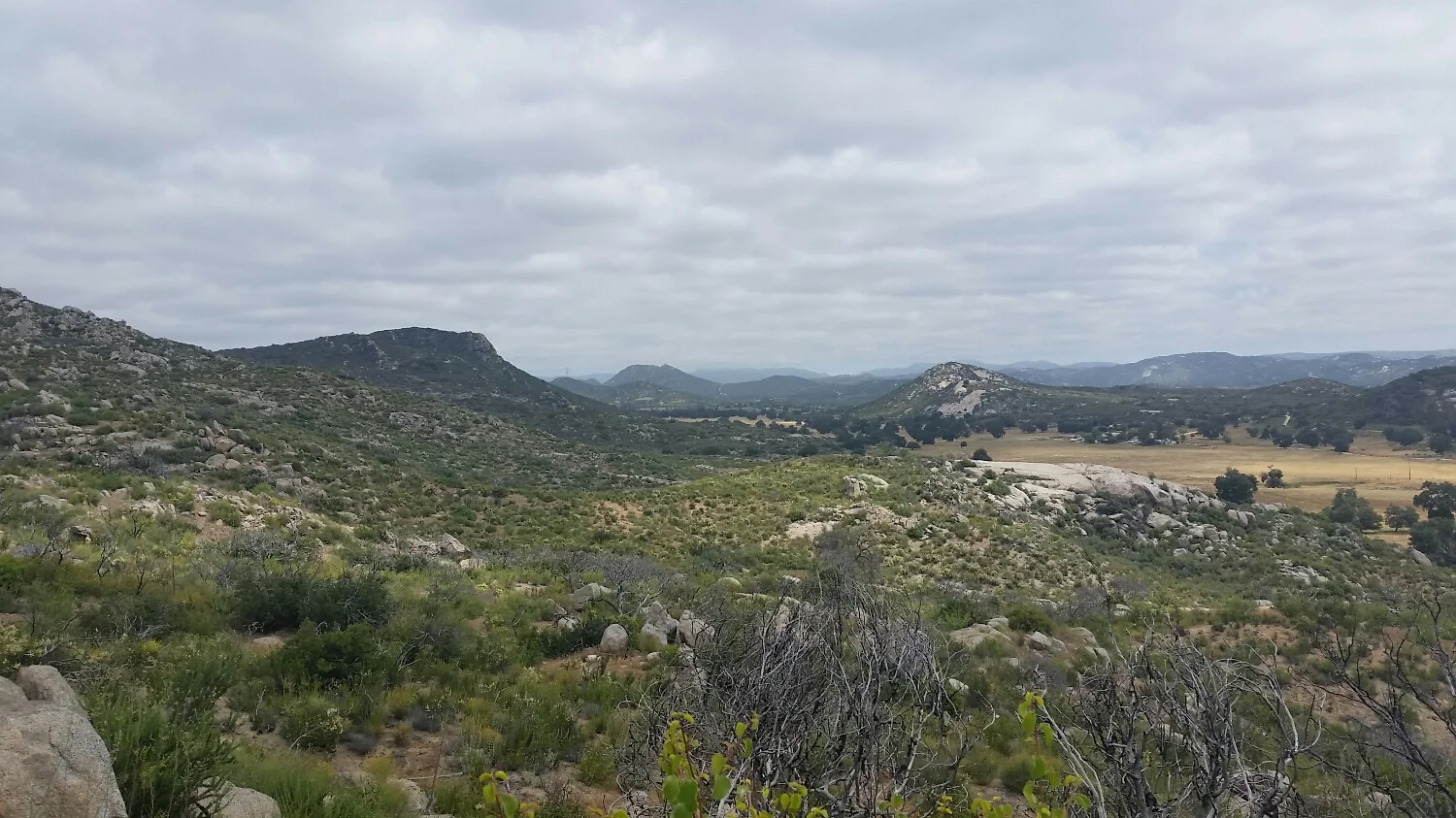
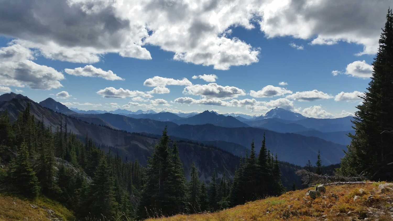
The view just before Northern Cascades National Park
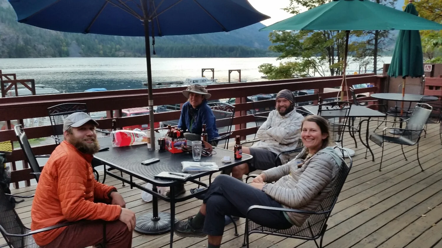
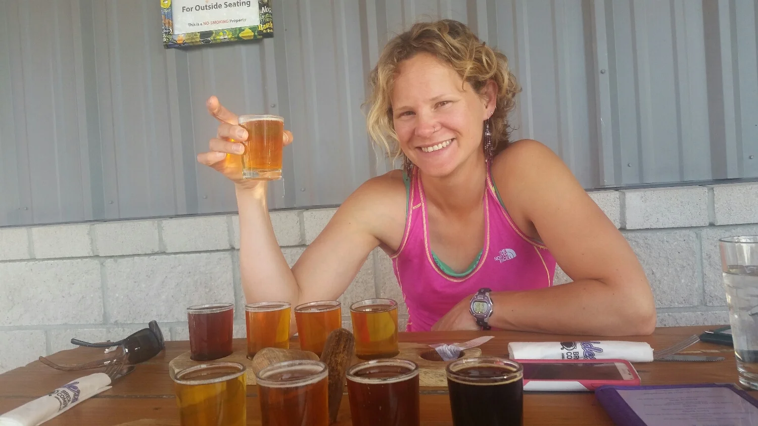
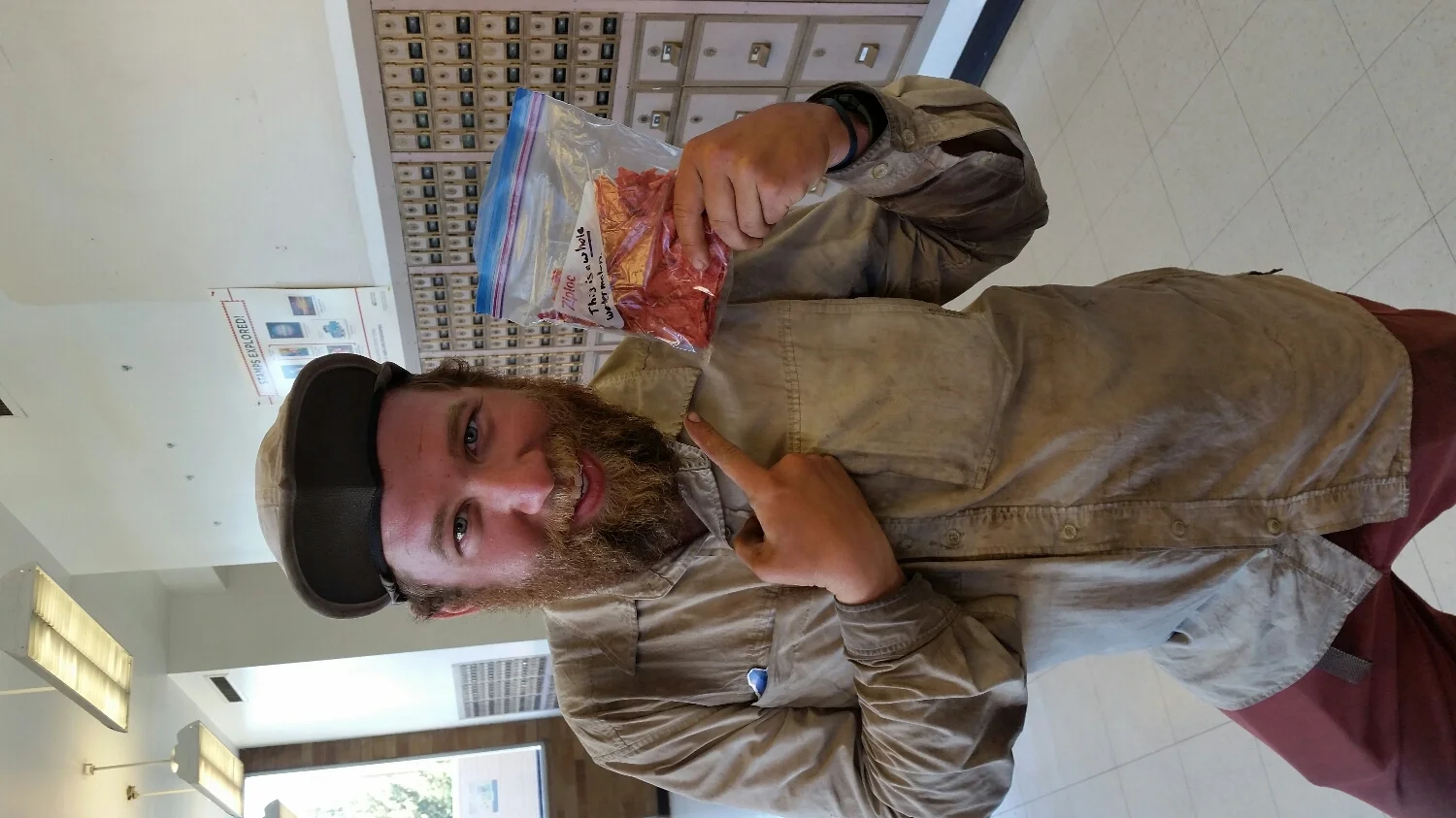
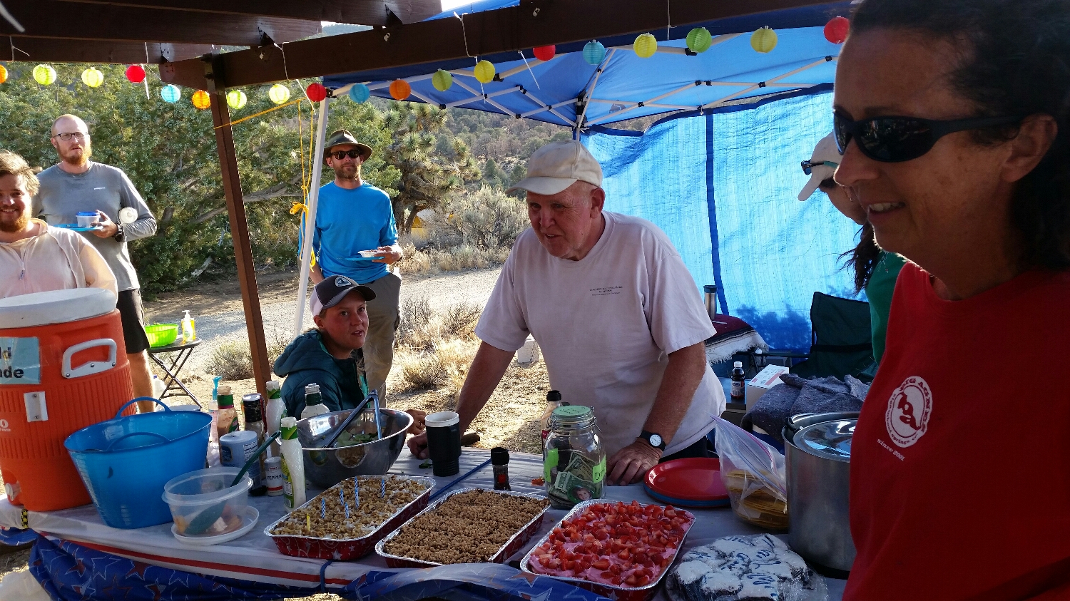
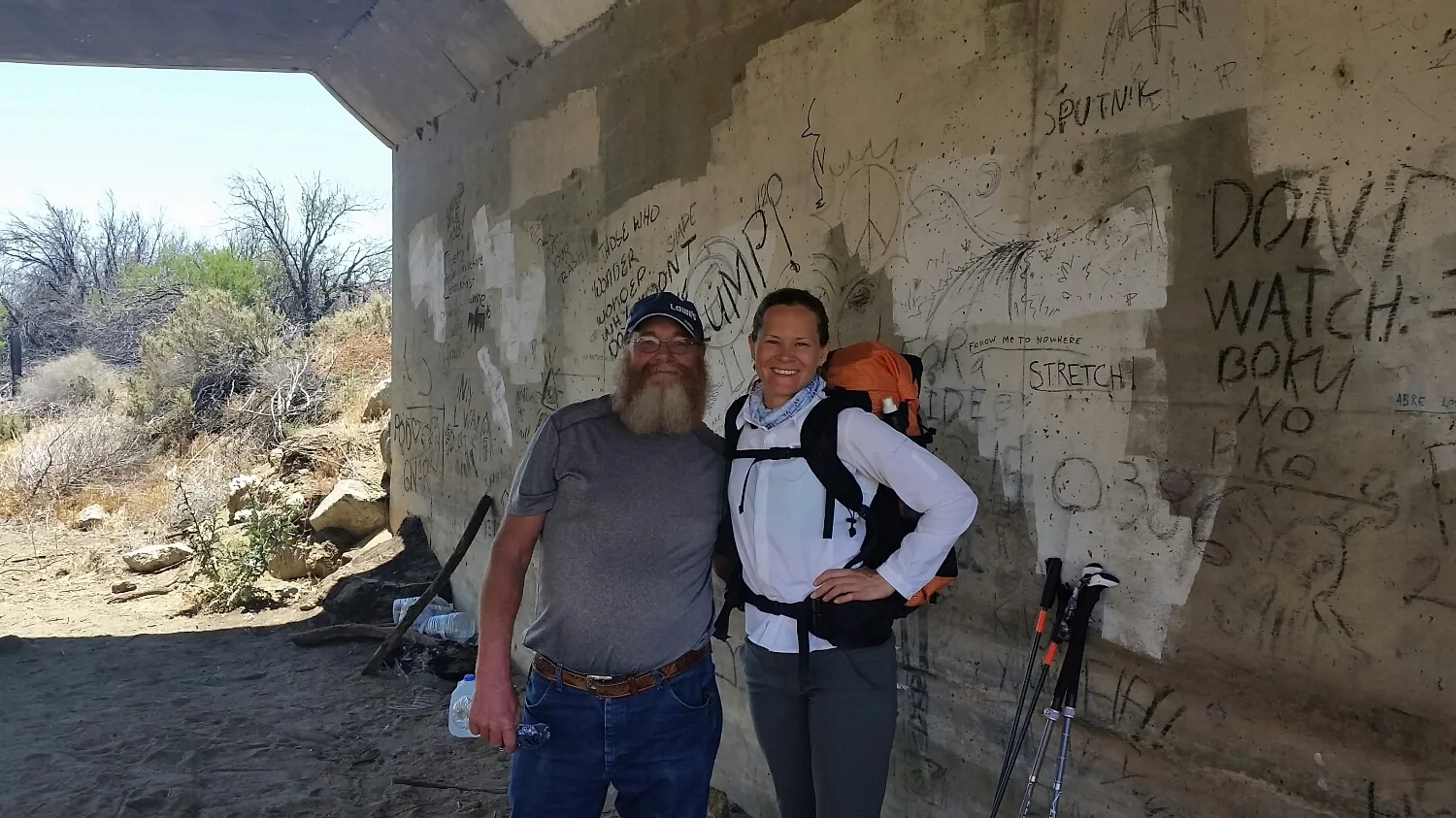
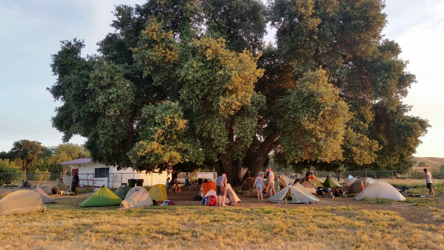
Stehekin, WA the last town stop
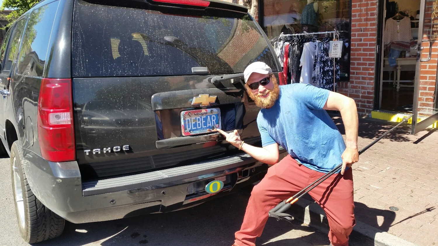
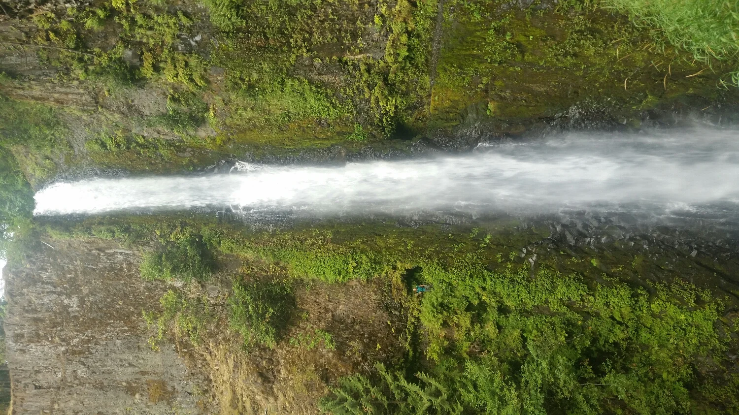
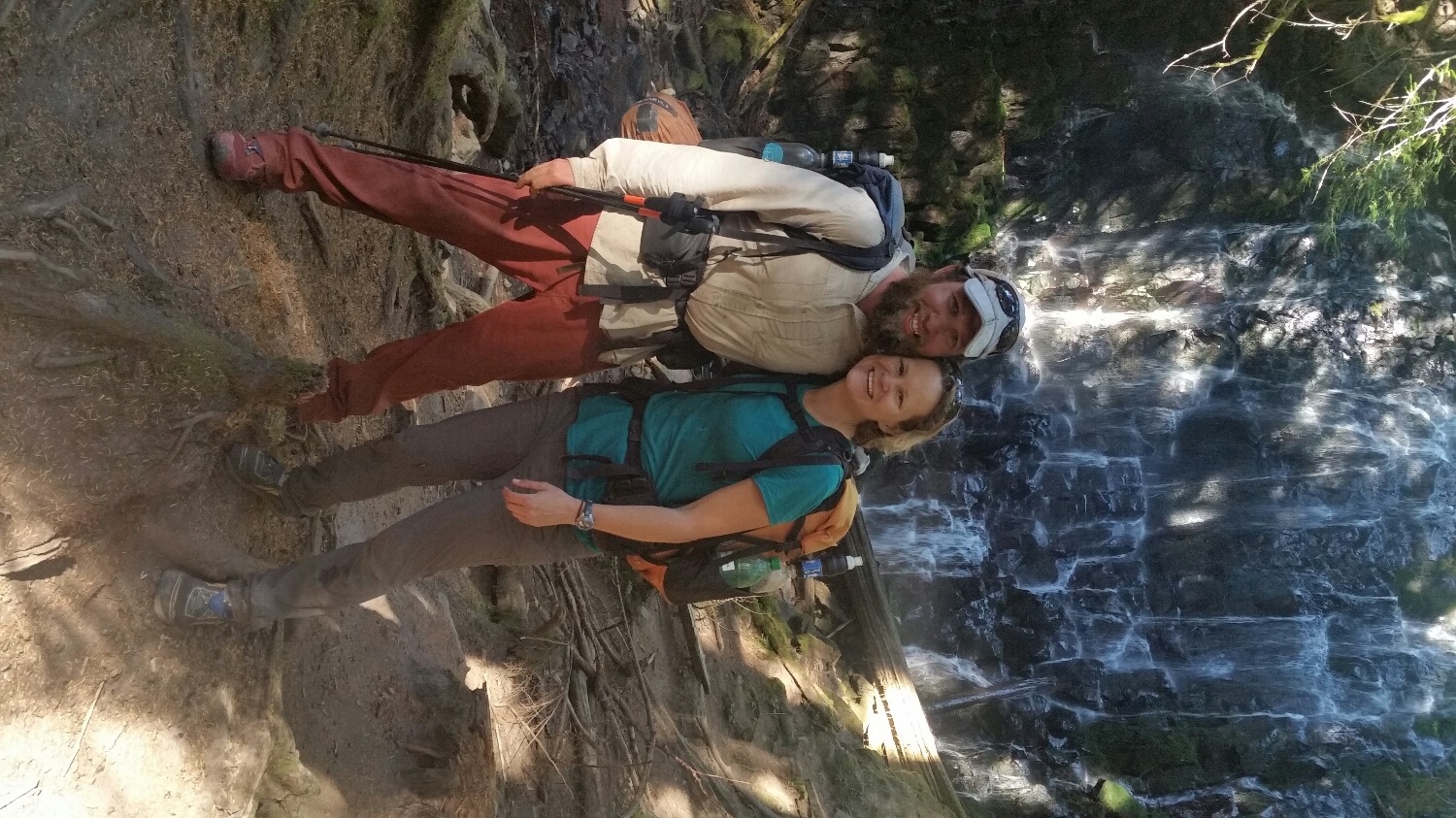
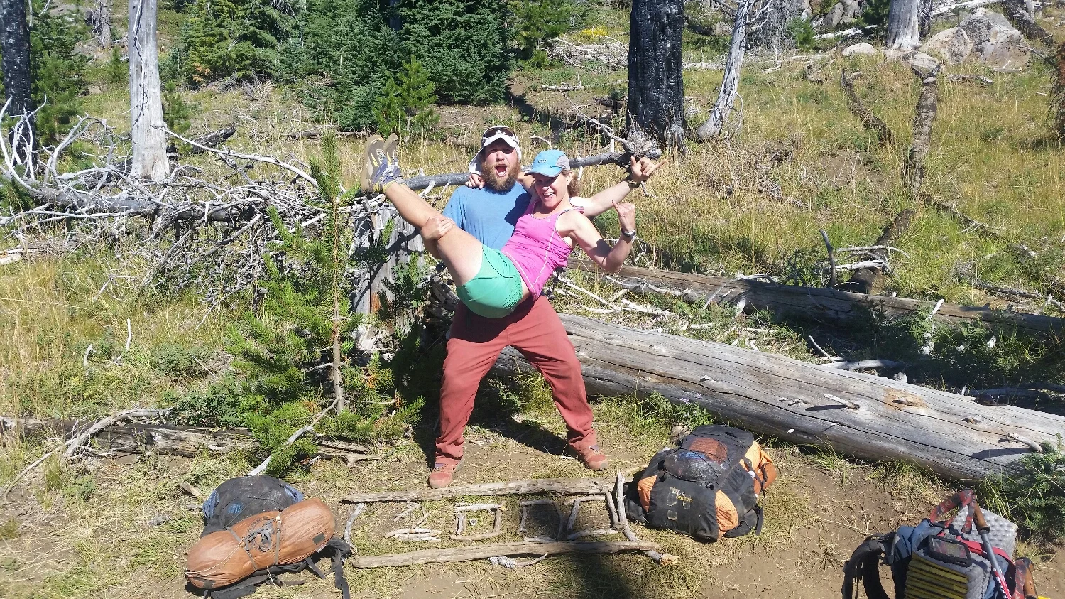
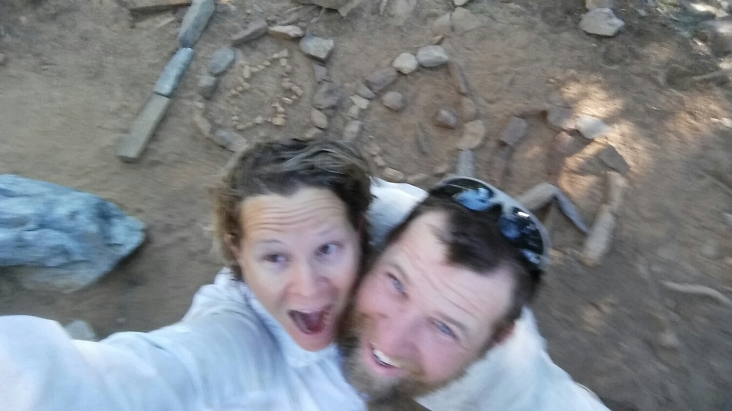
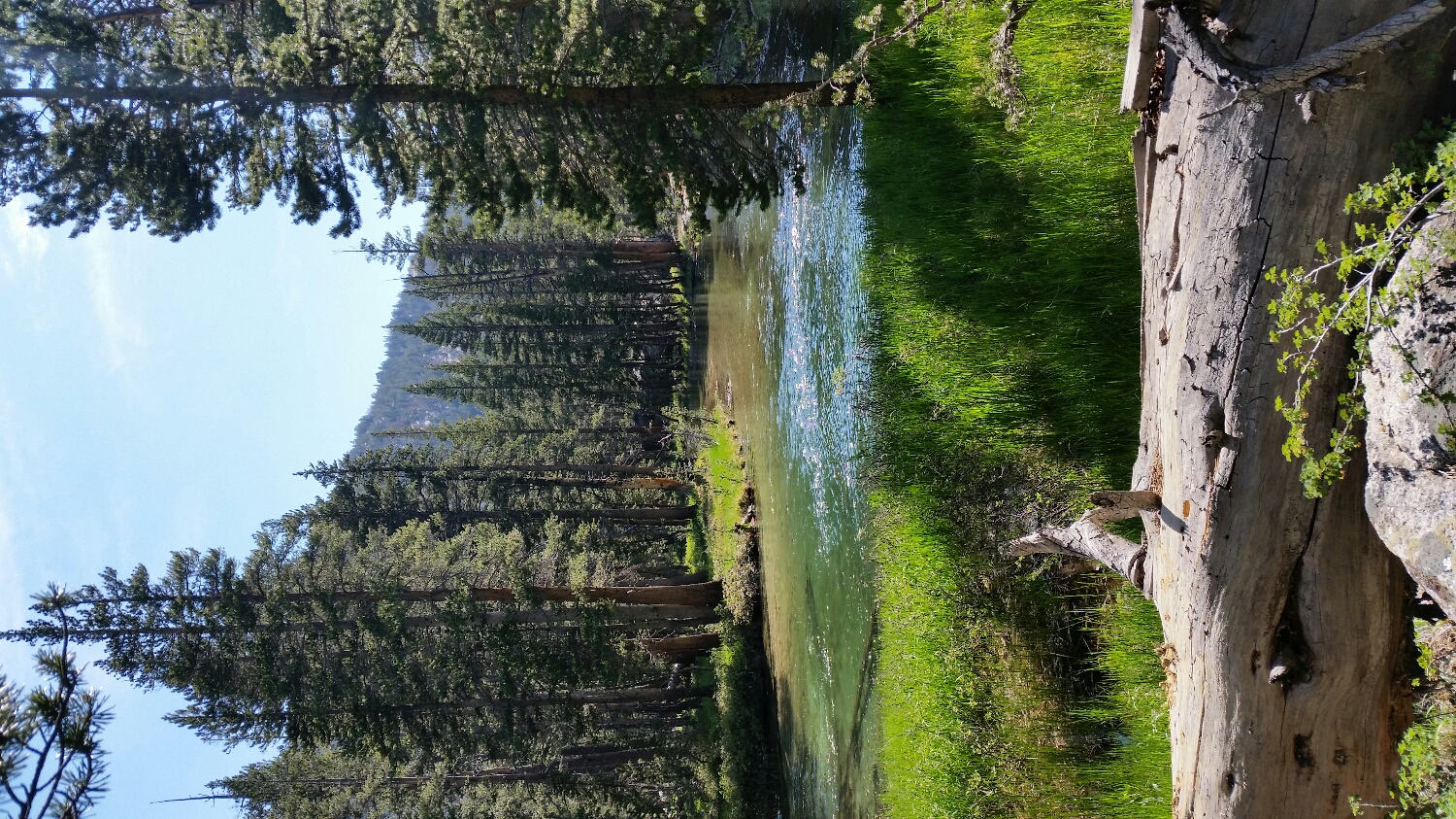
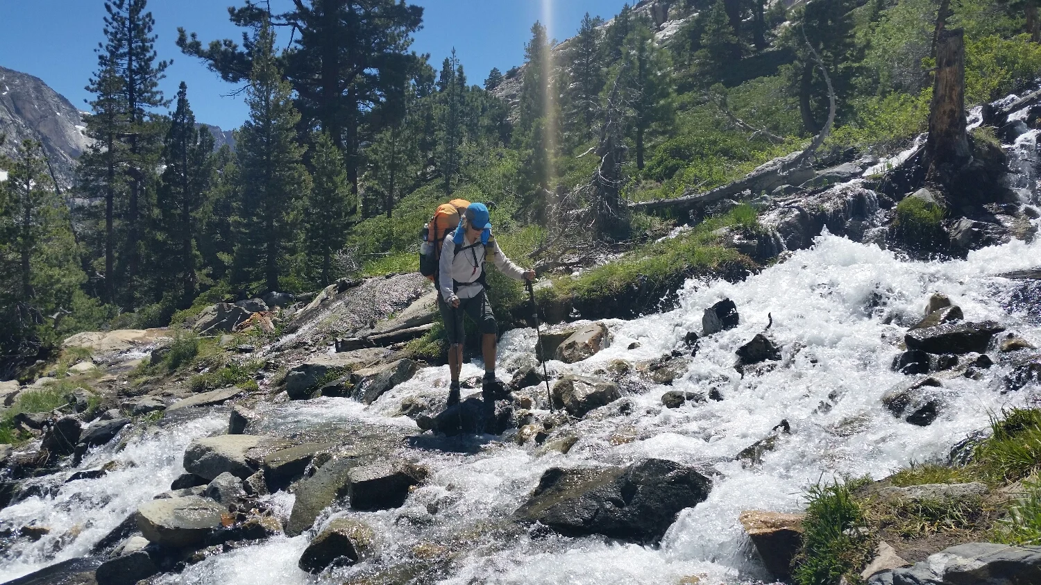
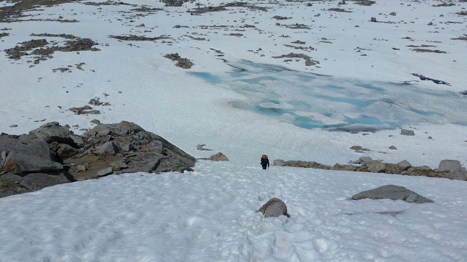
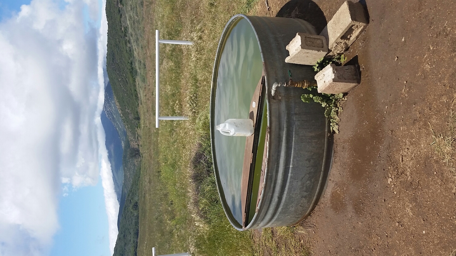
There is definitely something in the water.
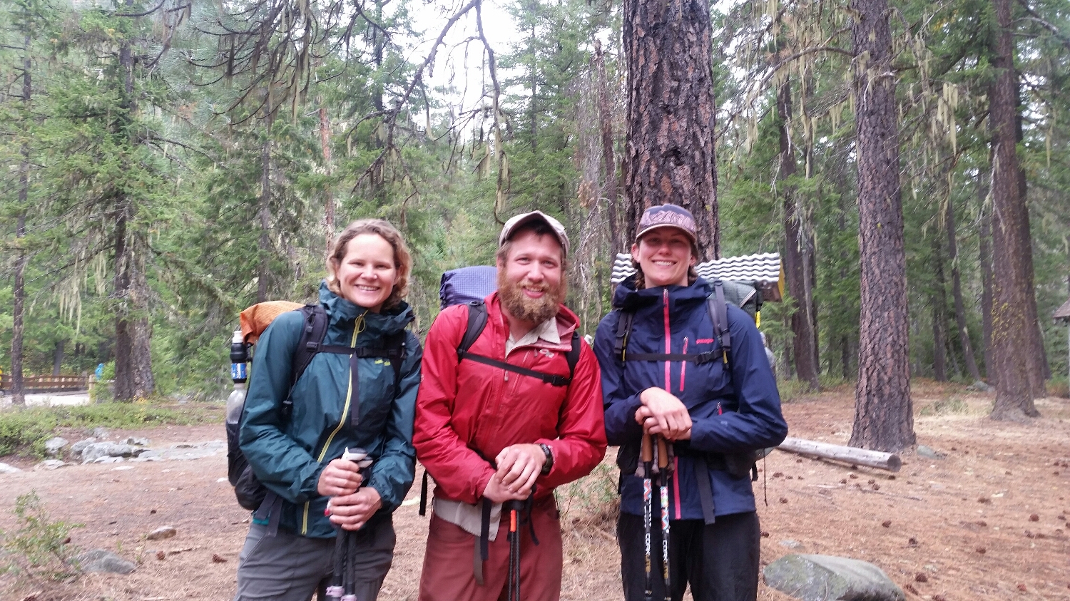
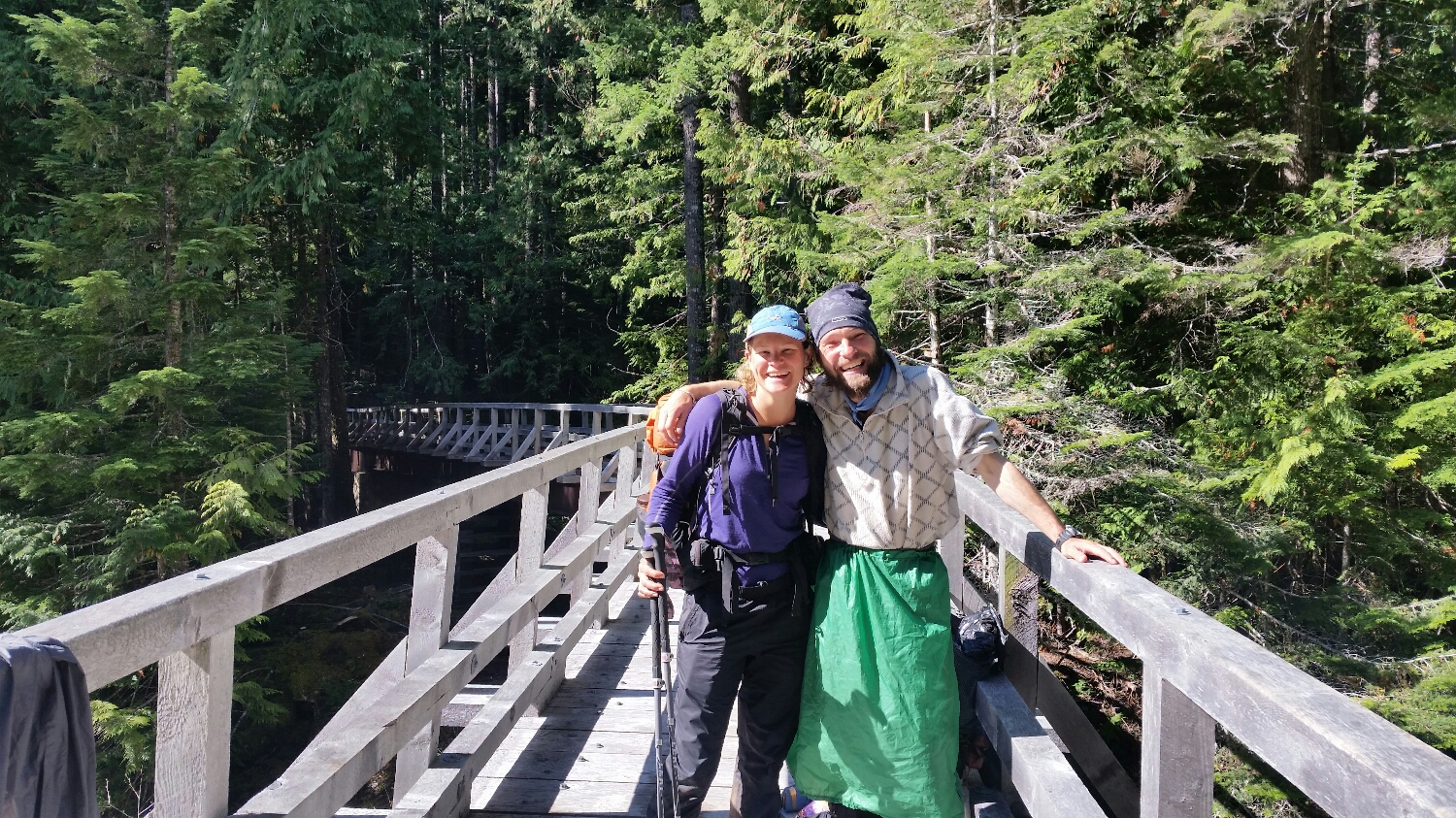
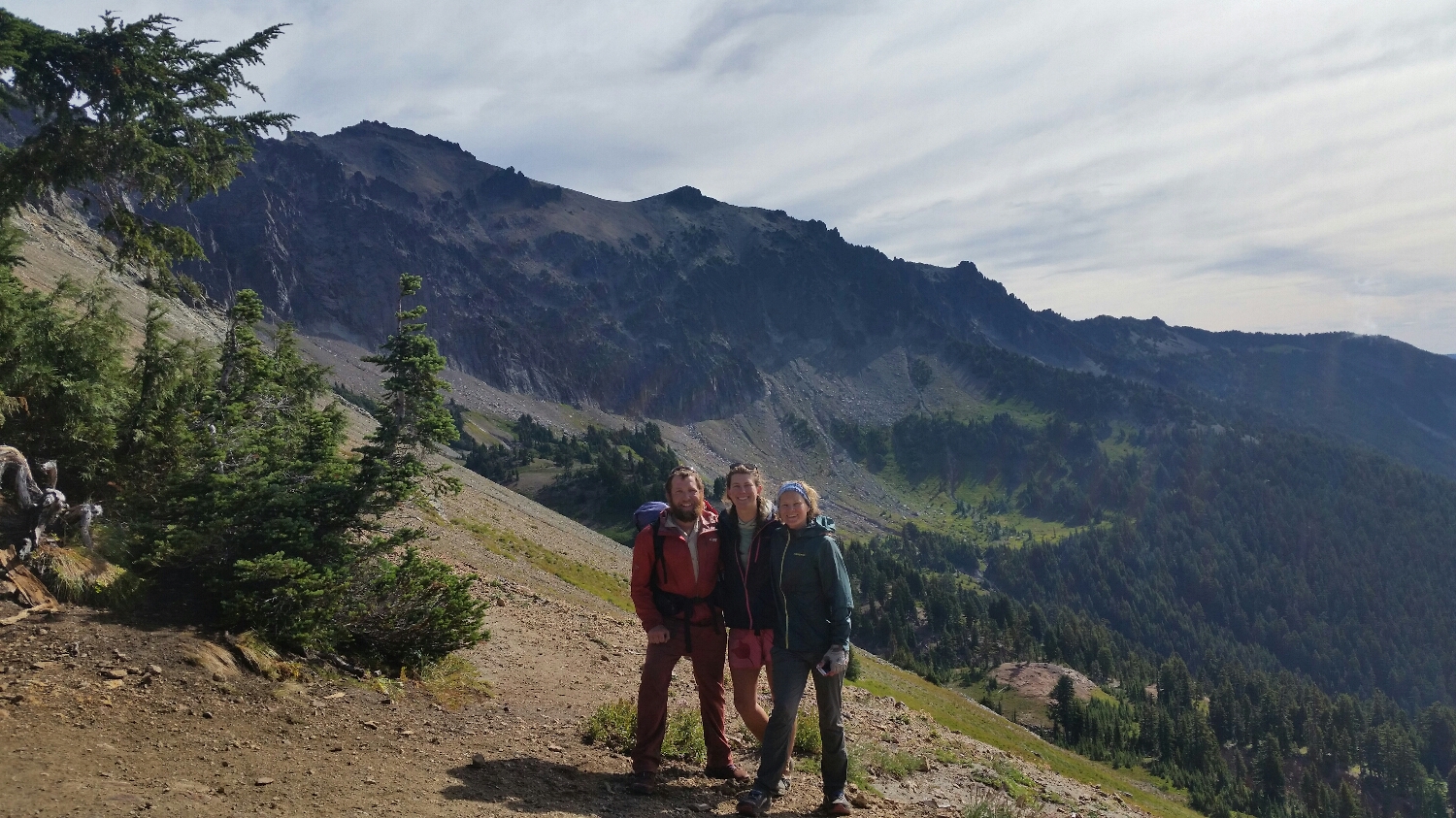
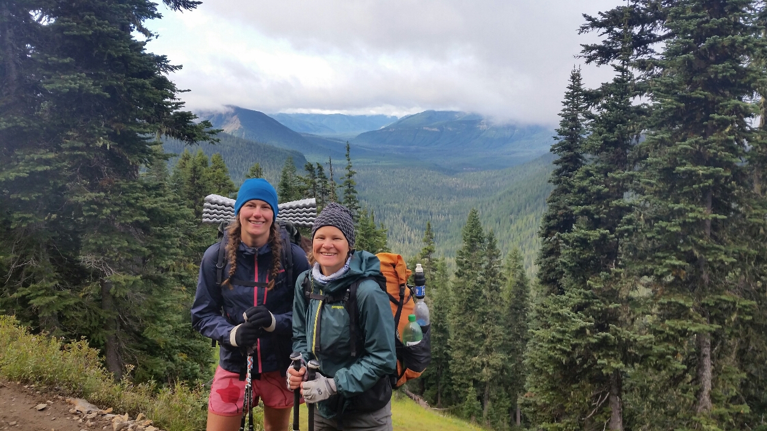
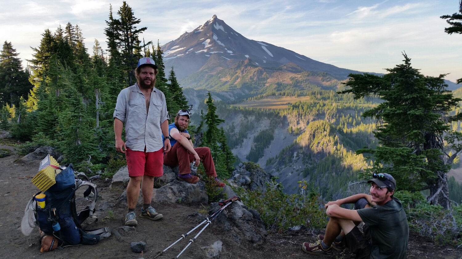
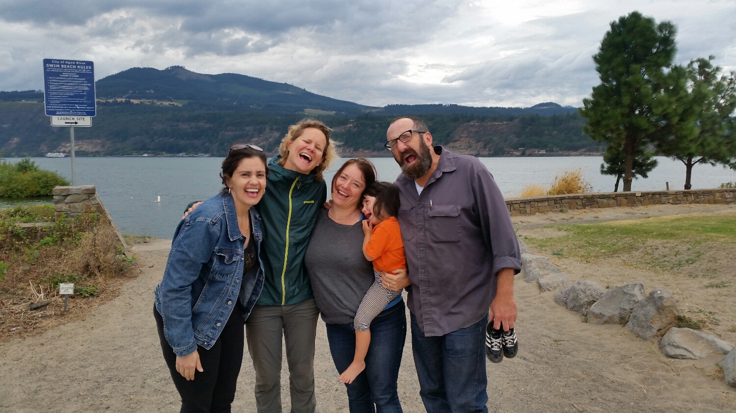
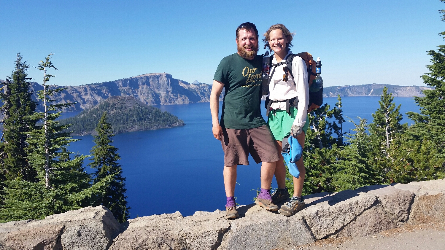
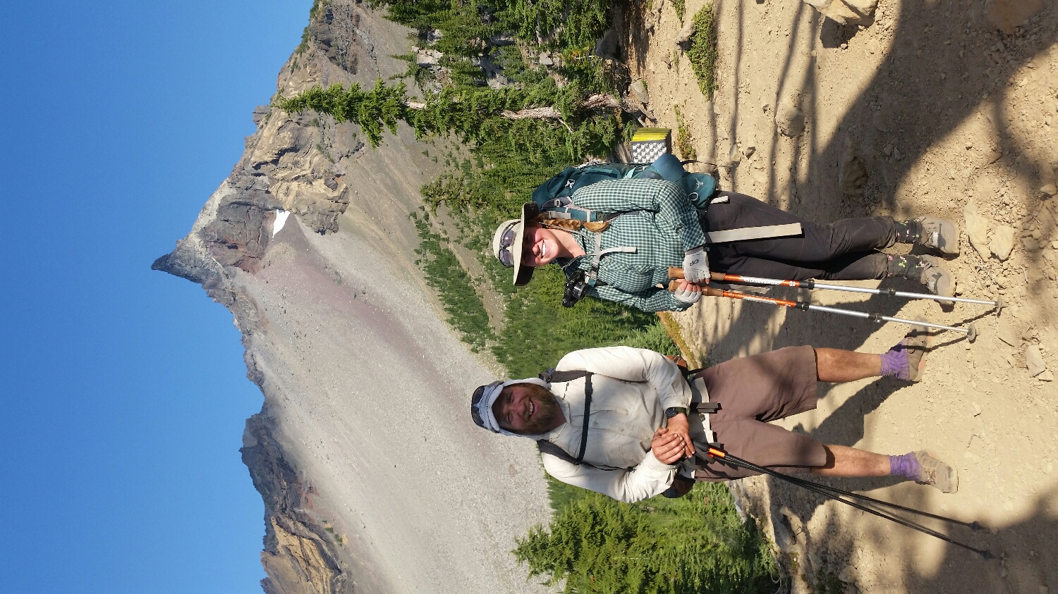
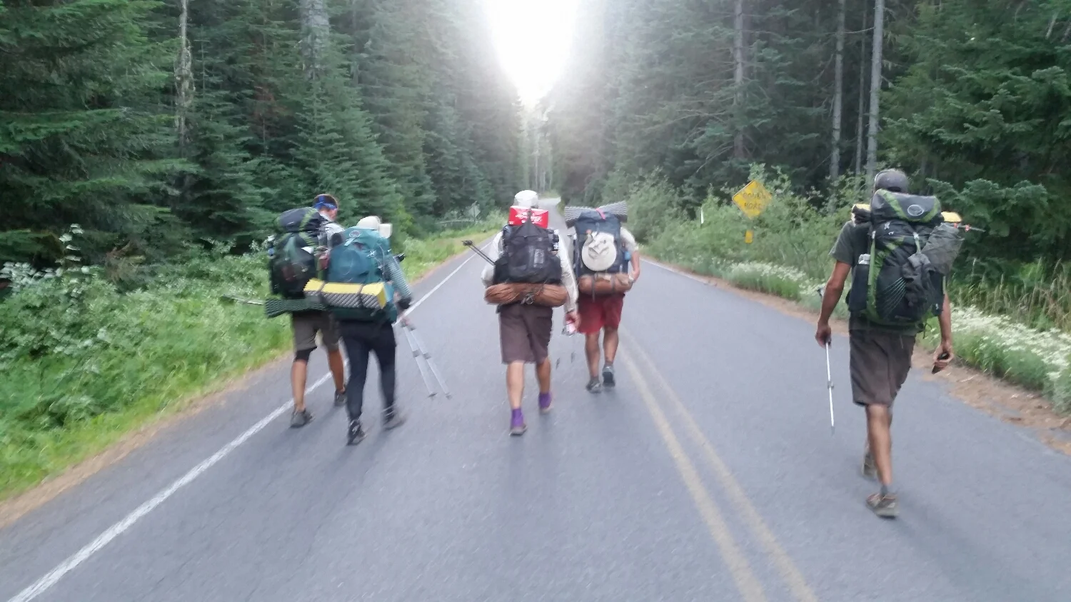
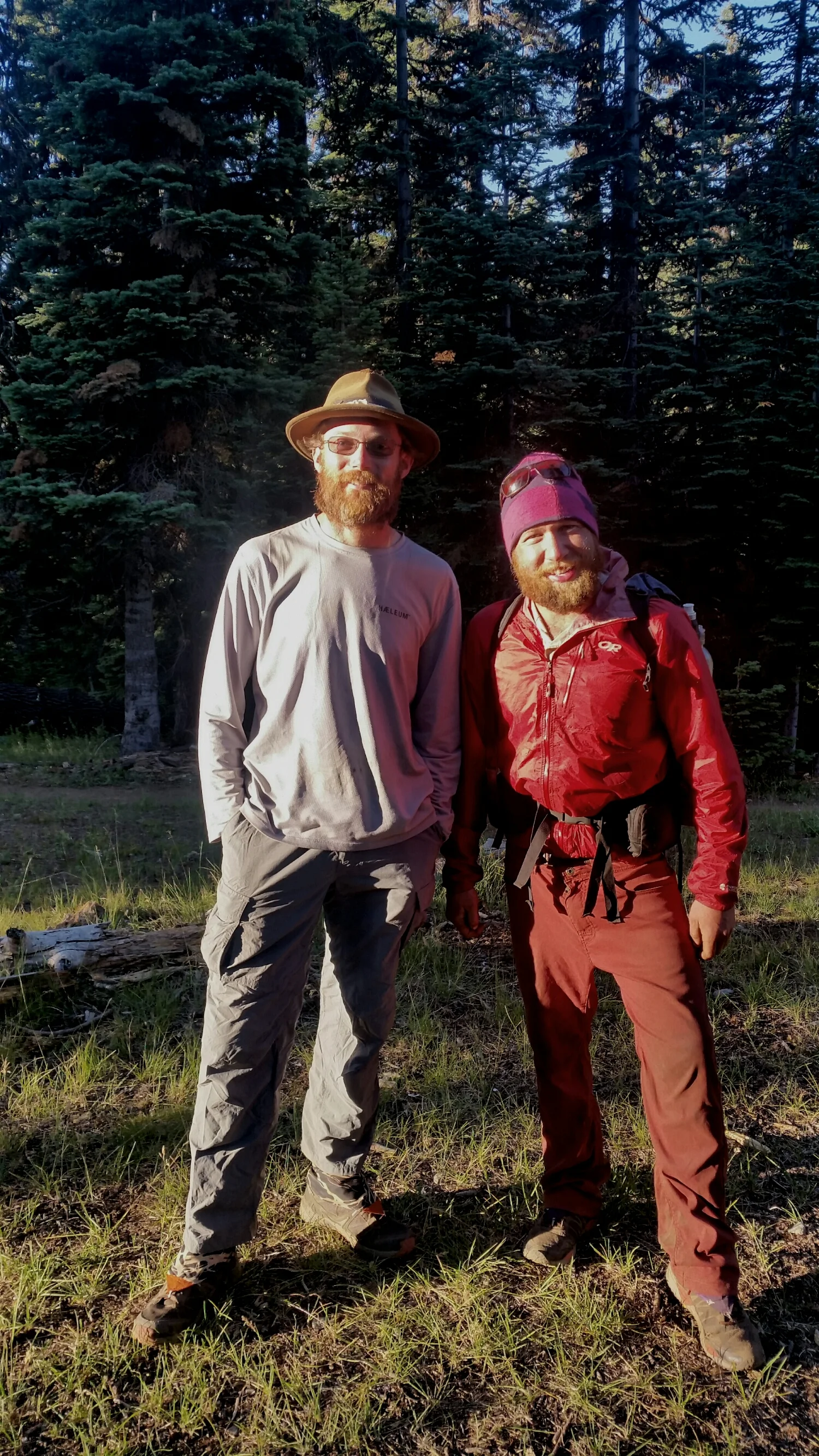
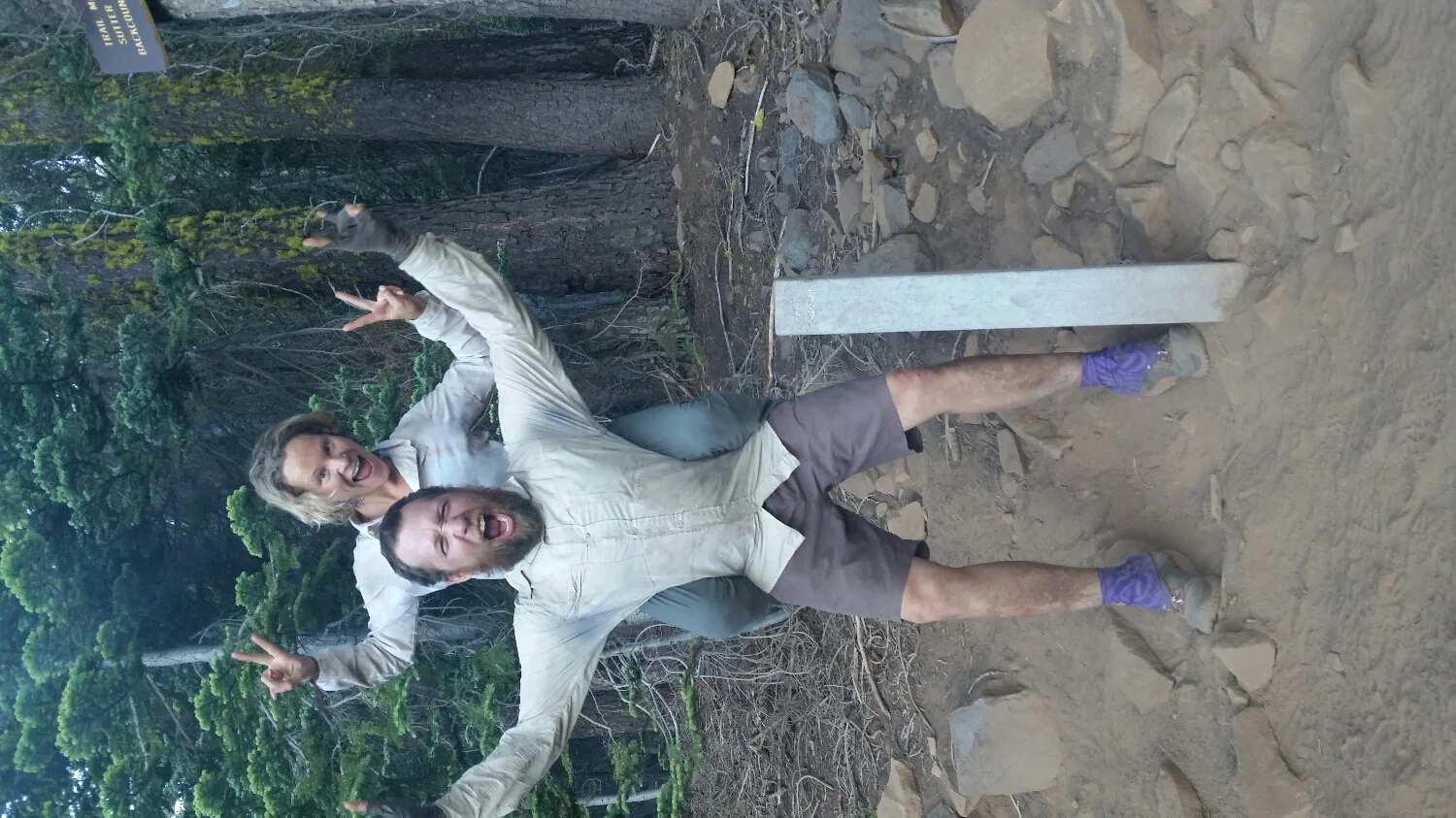
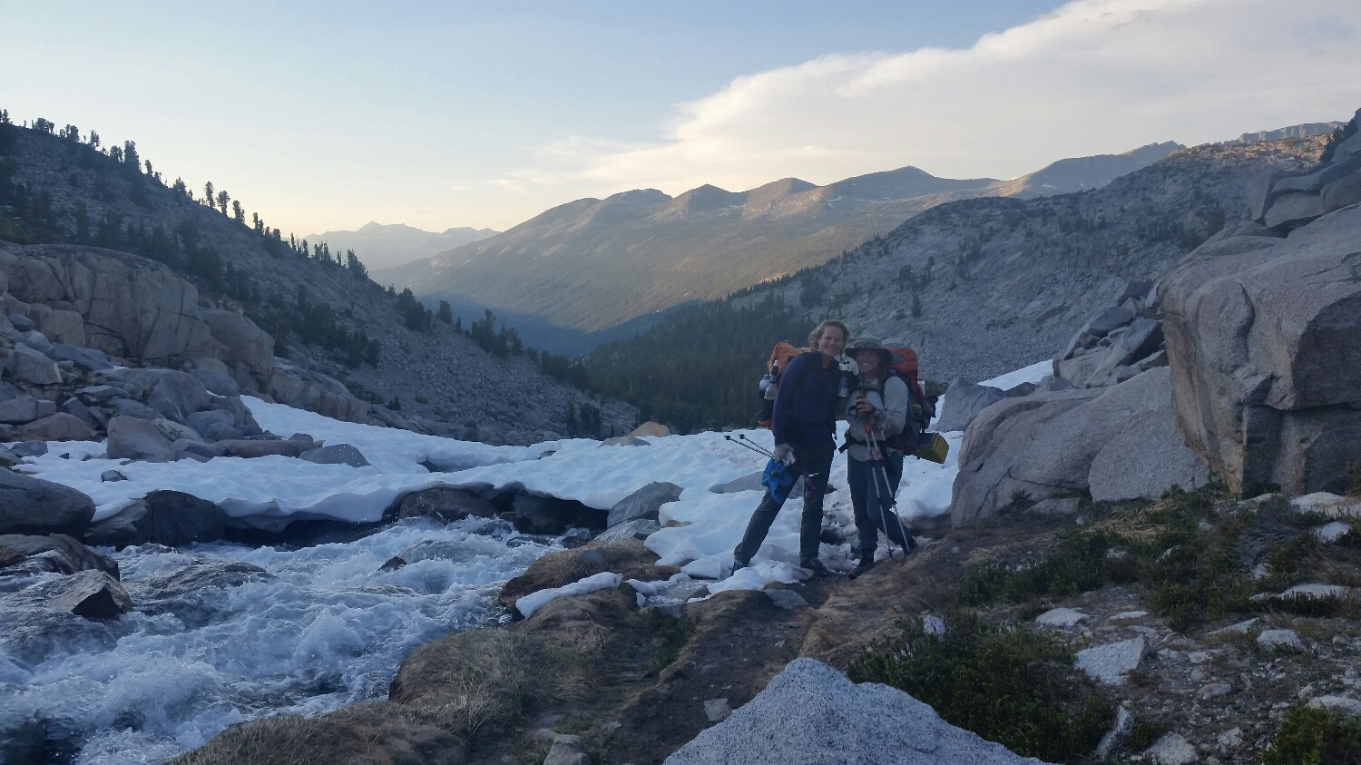
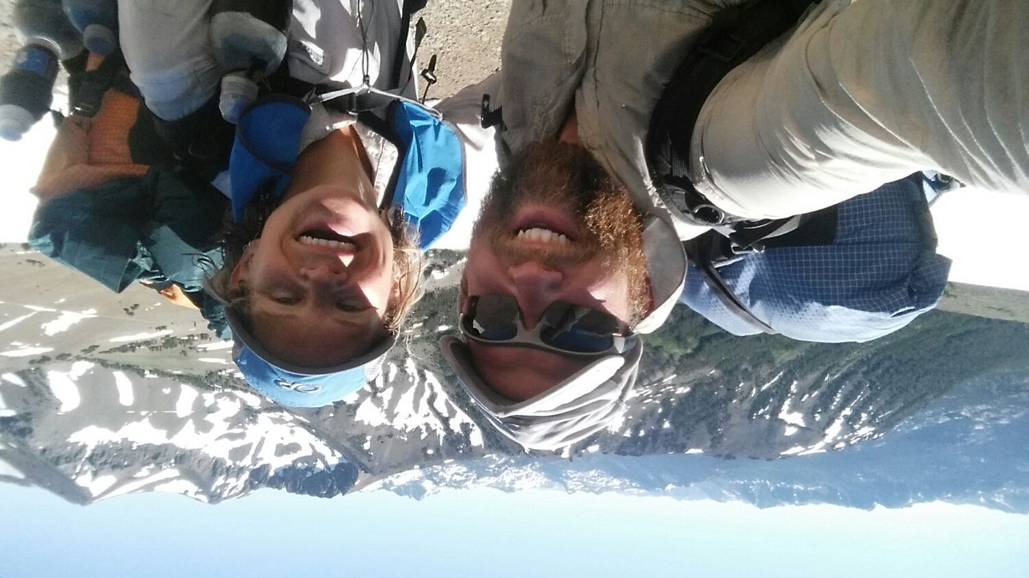
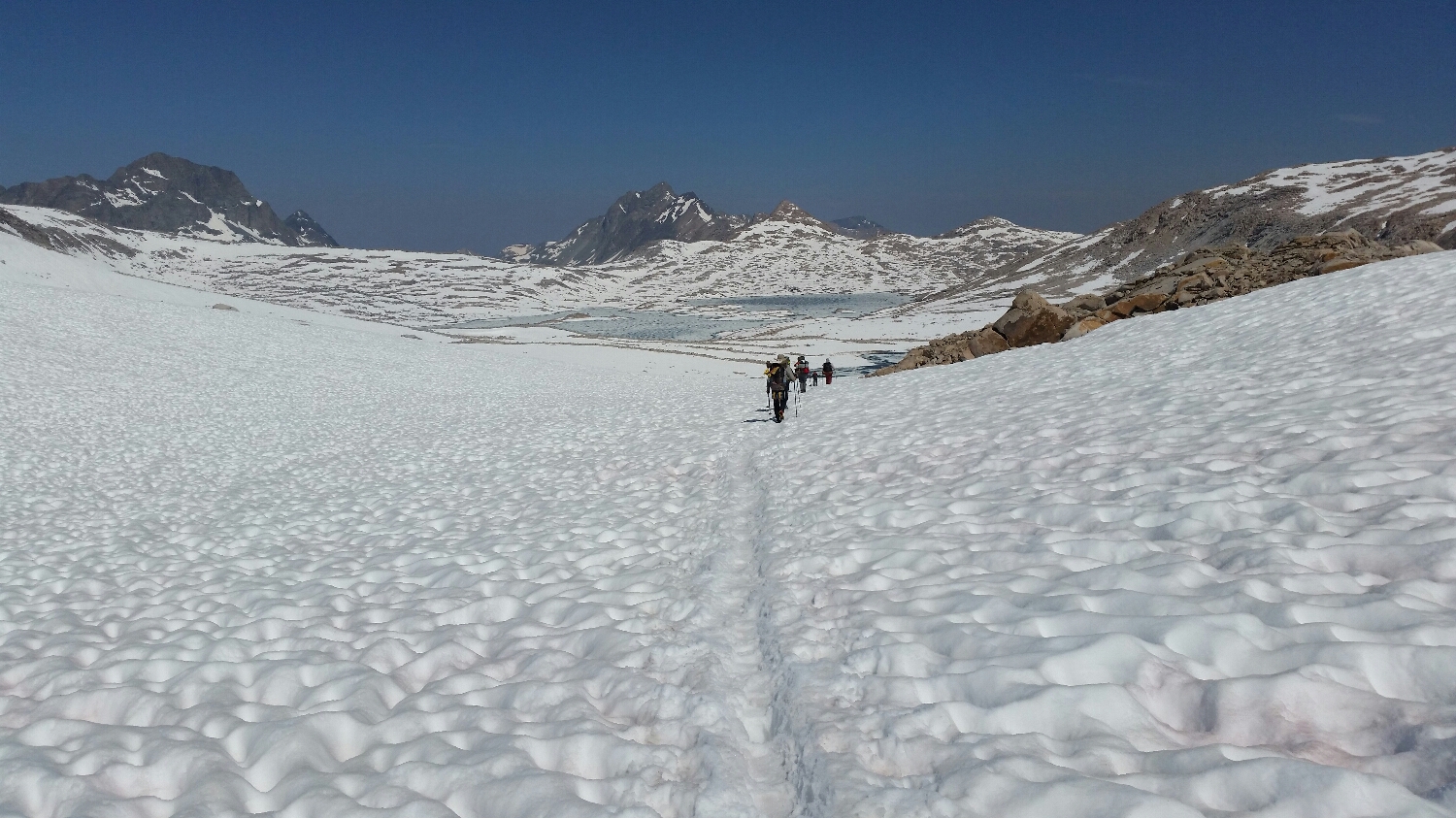
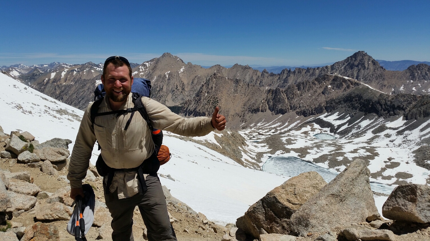
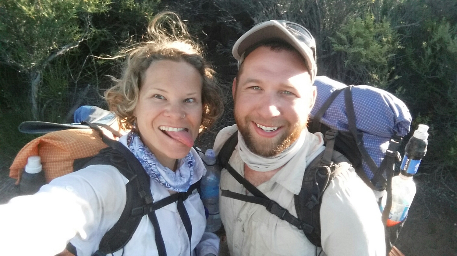
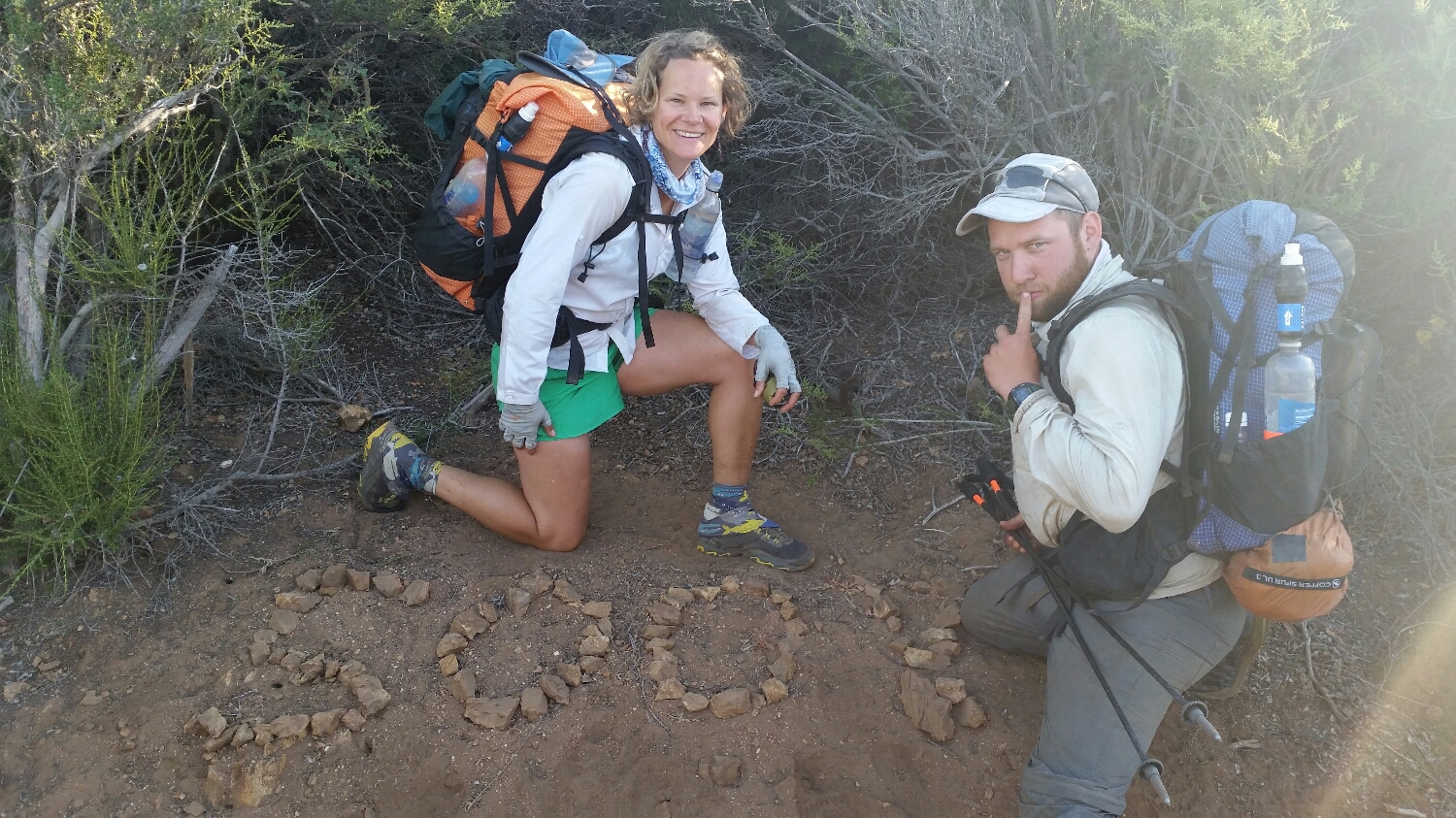
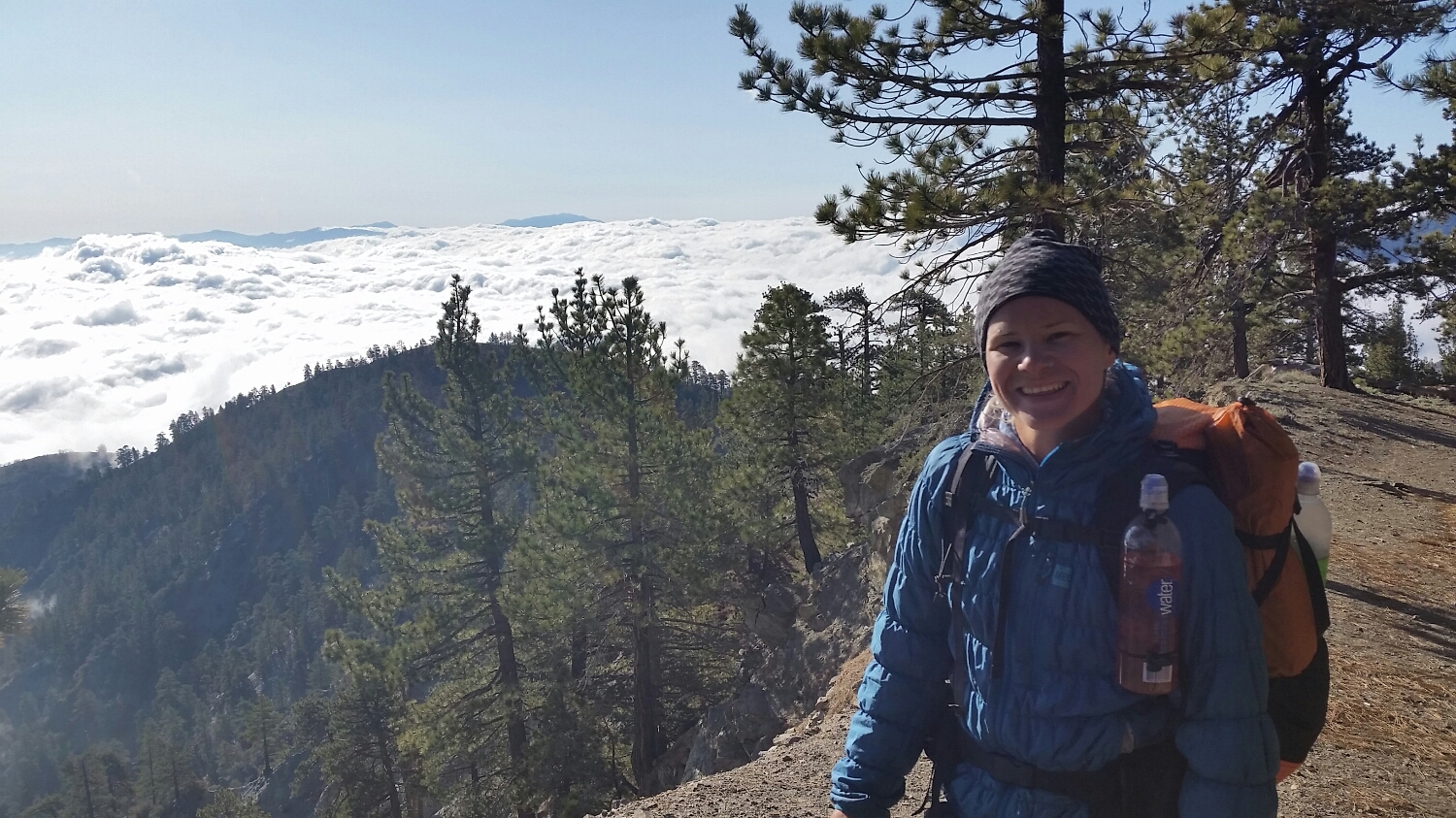
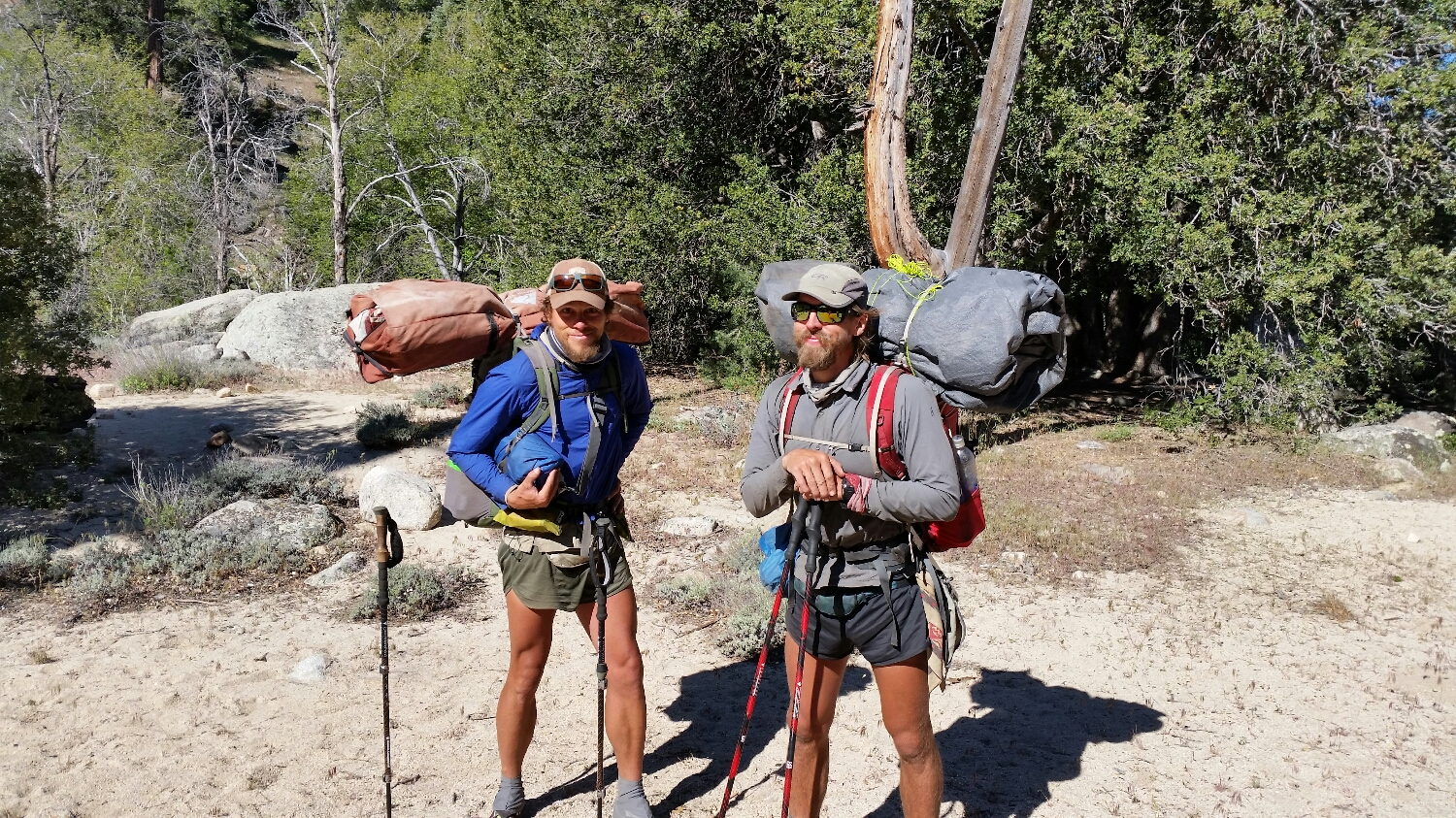
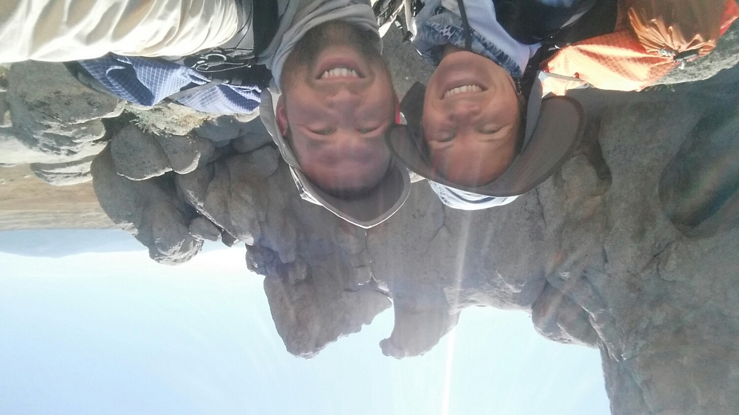
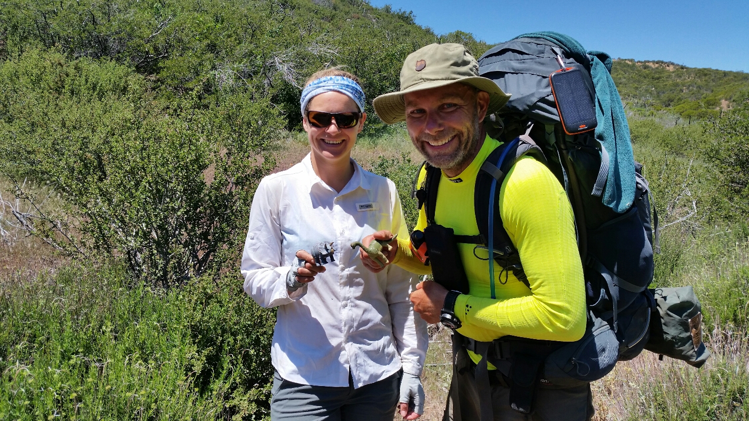
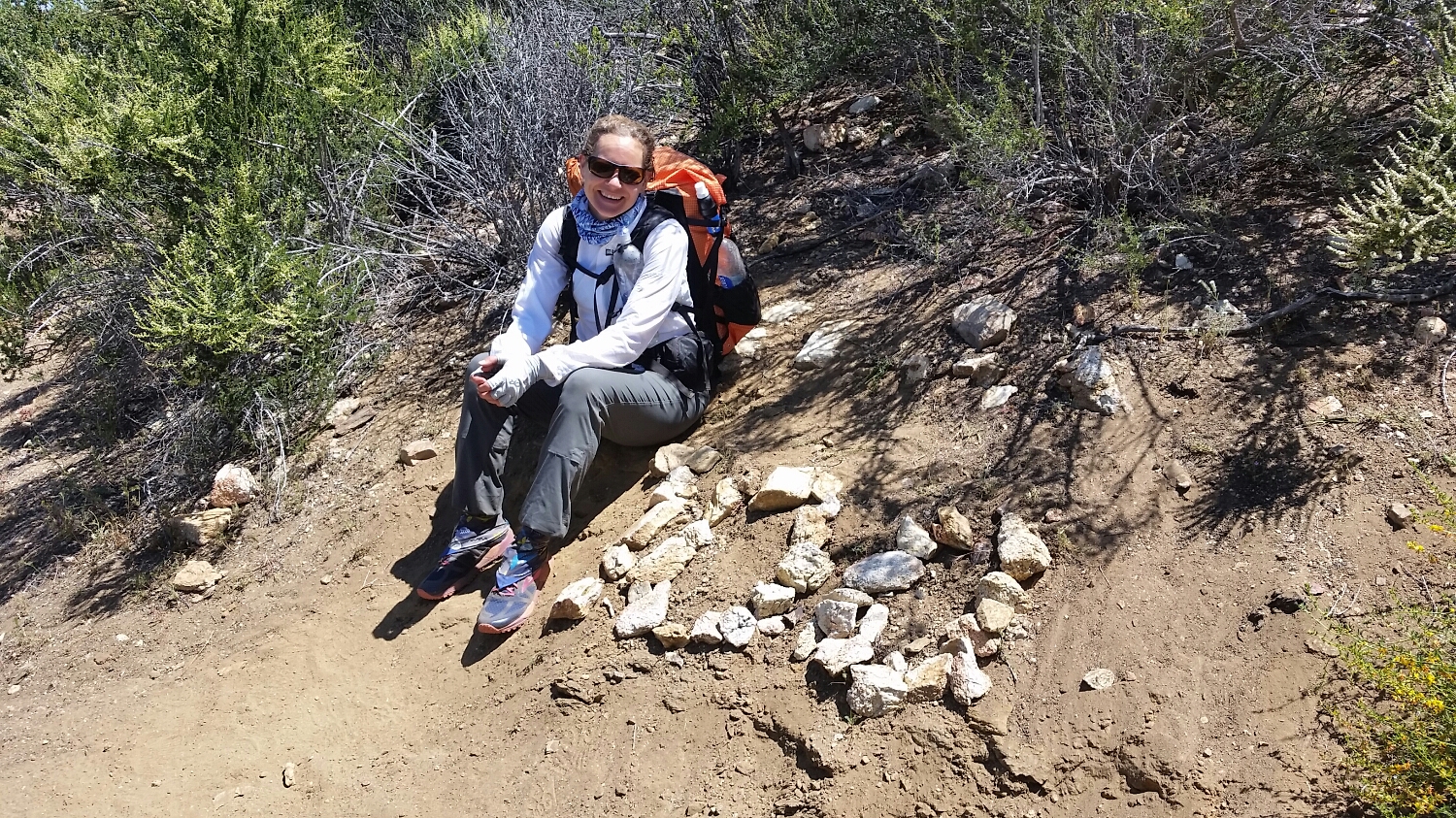
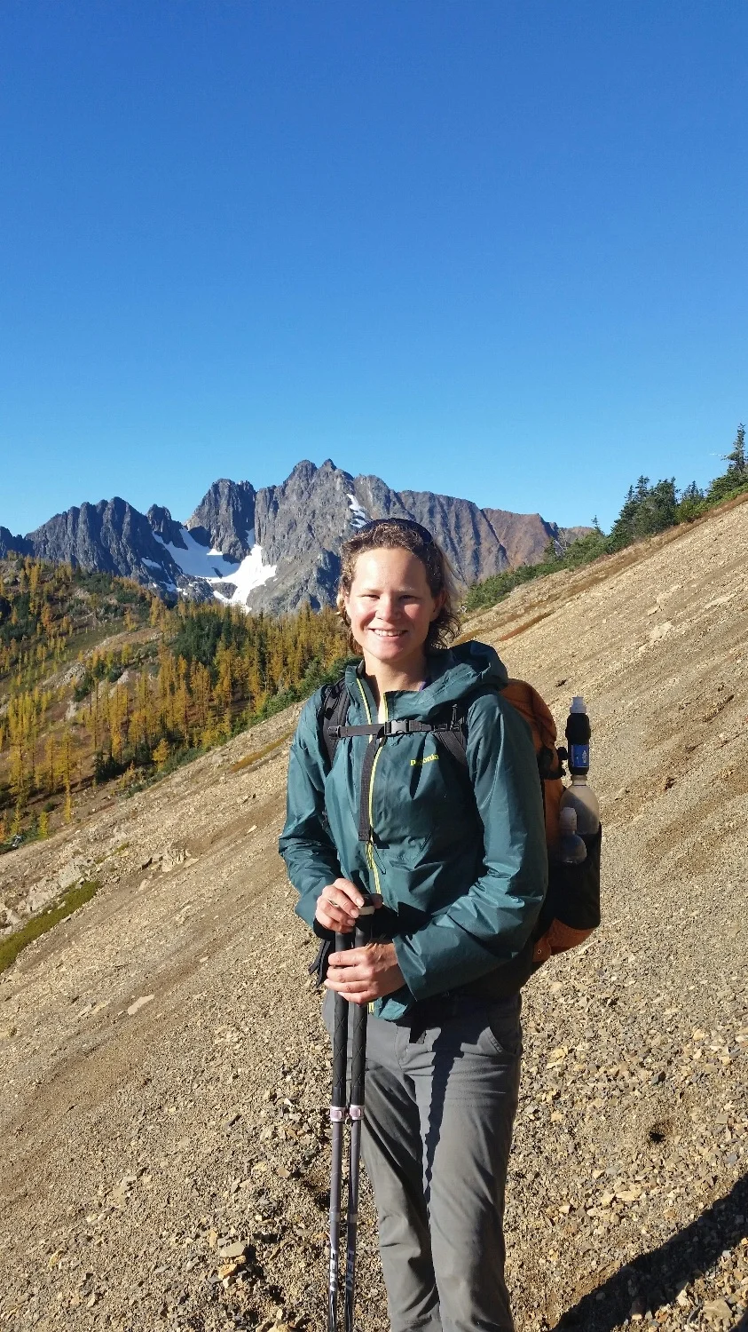
The Crew: SketchPad, Samson-The-Bear, and Frizzle
Cutthroat Pass
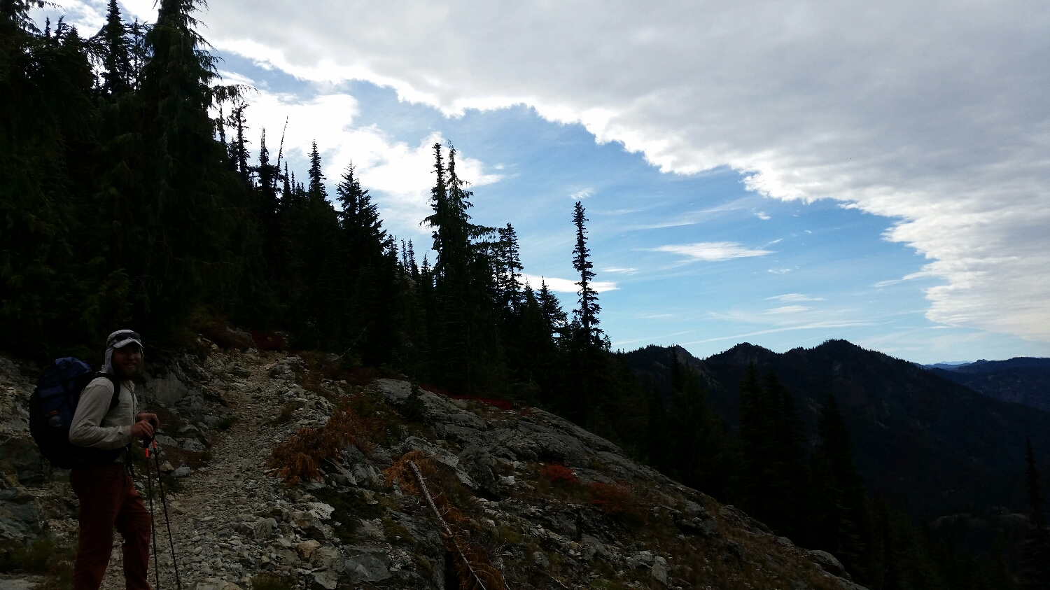
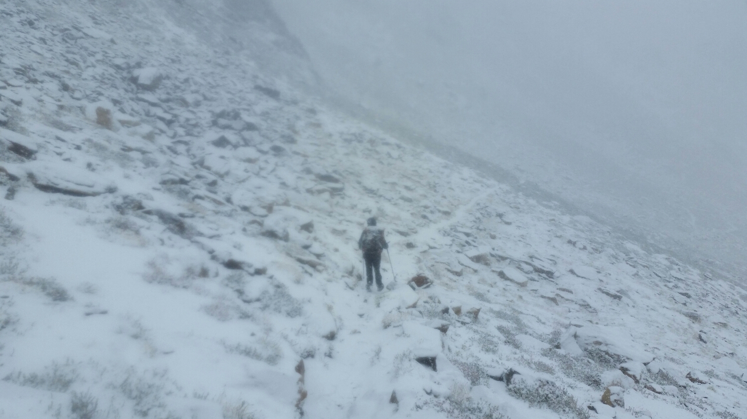
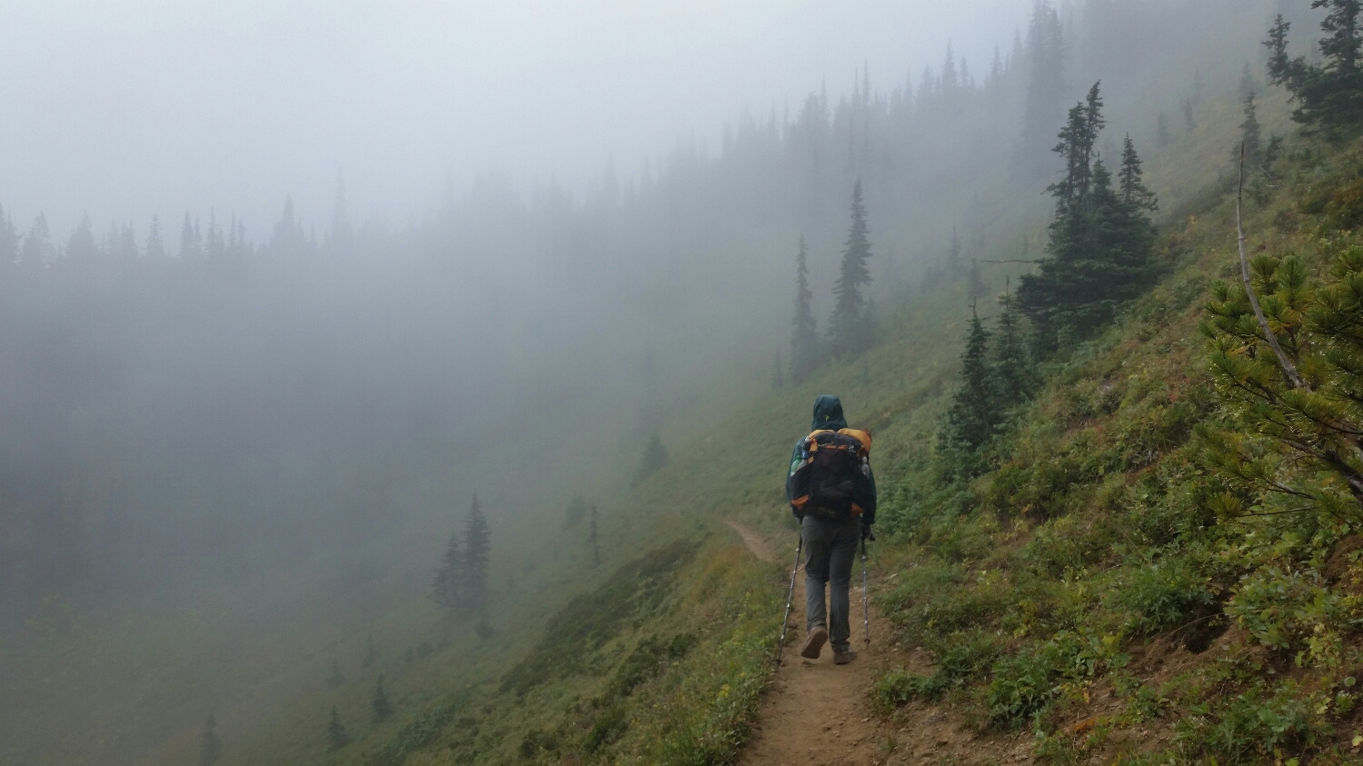
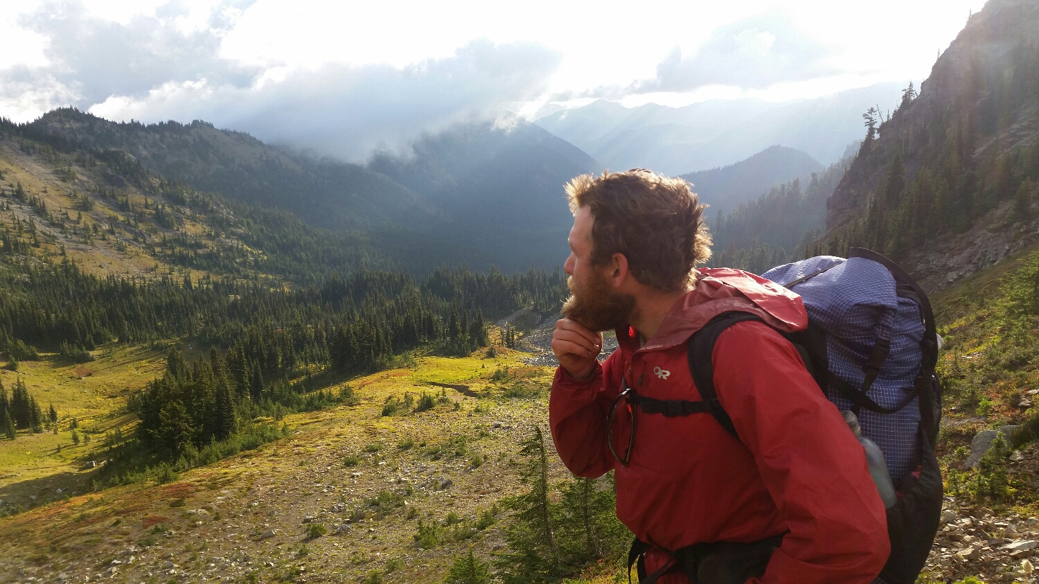
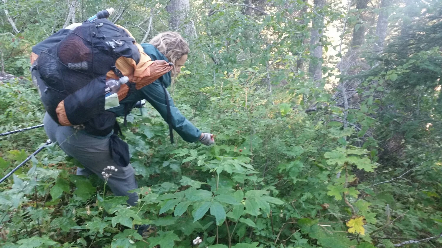
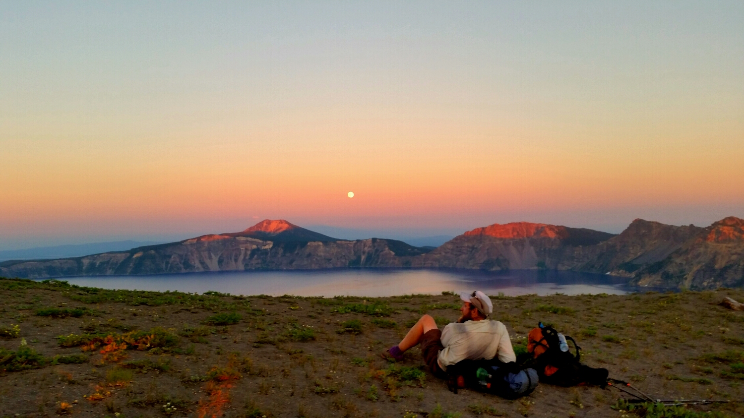
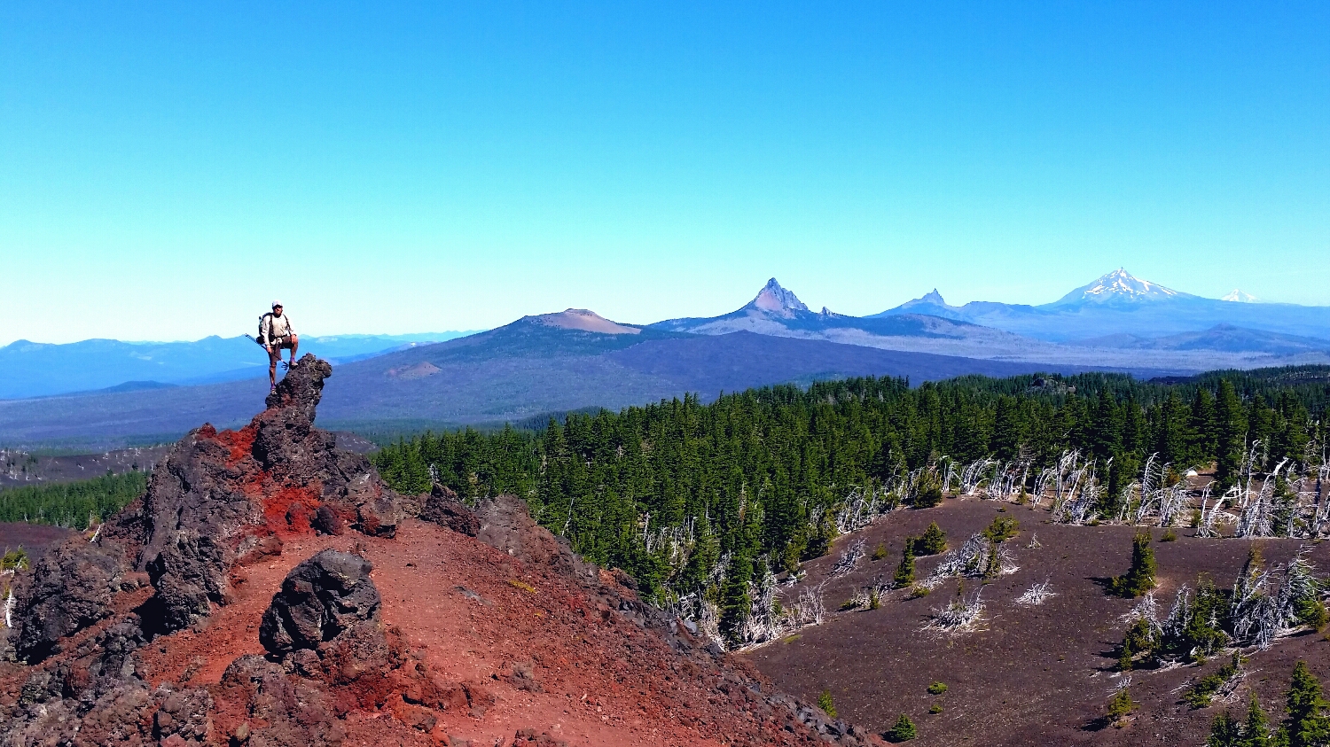
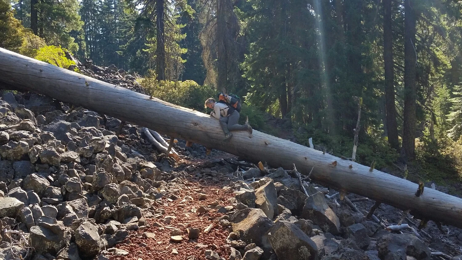
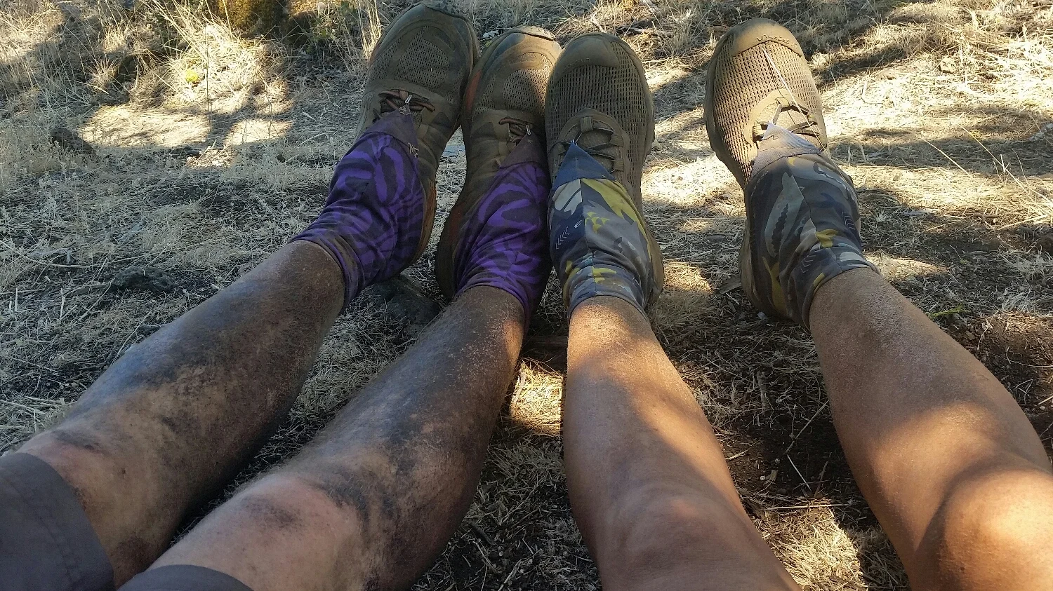
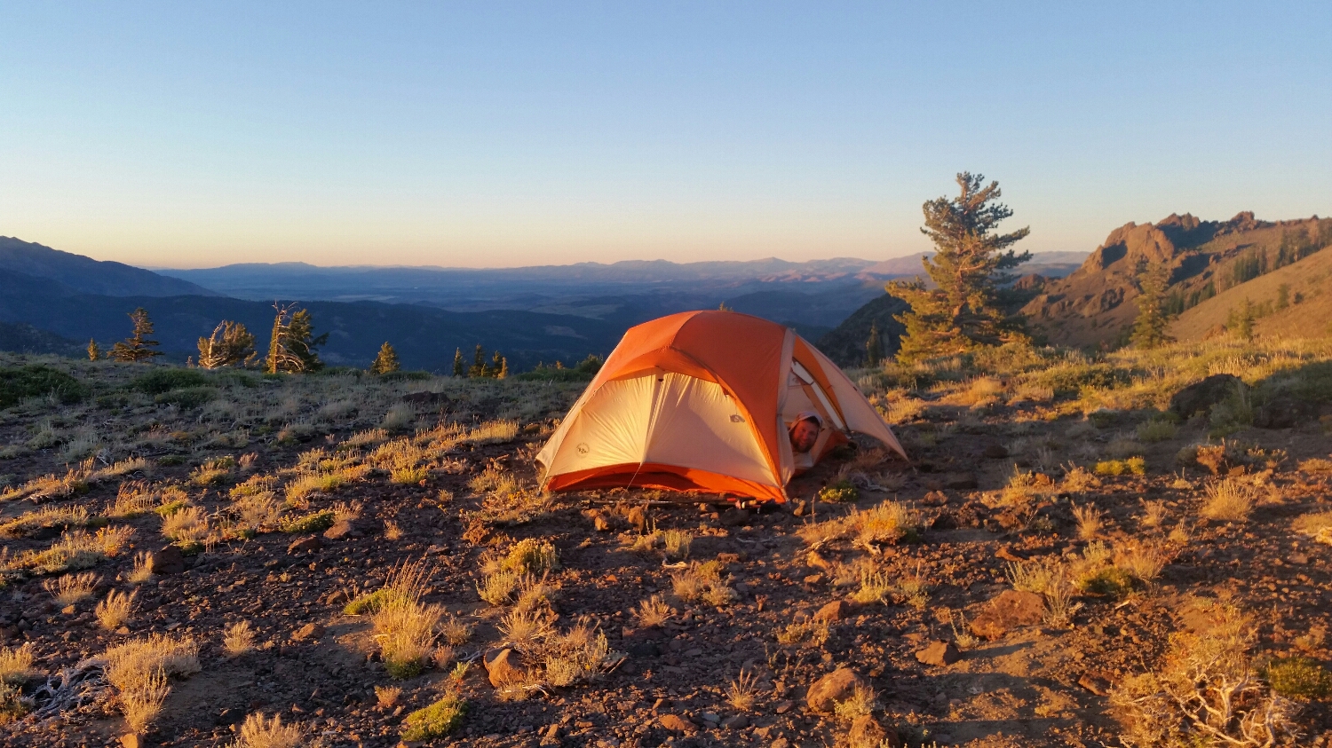
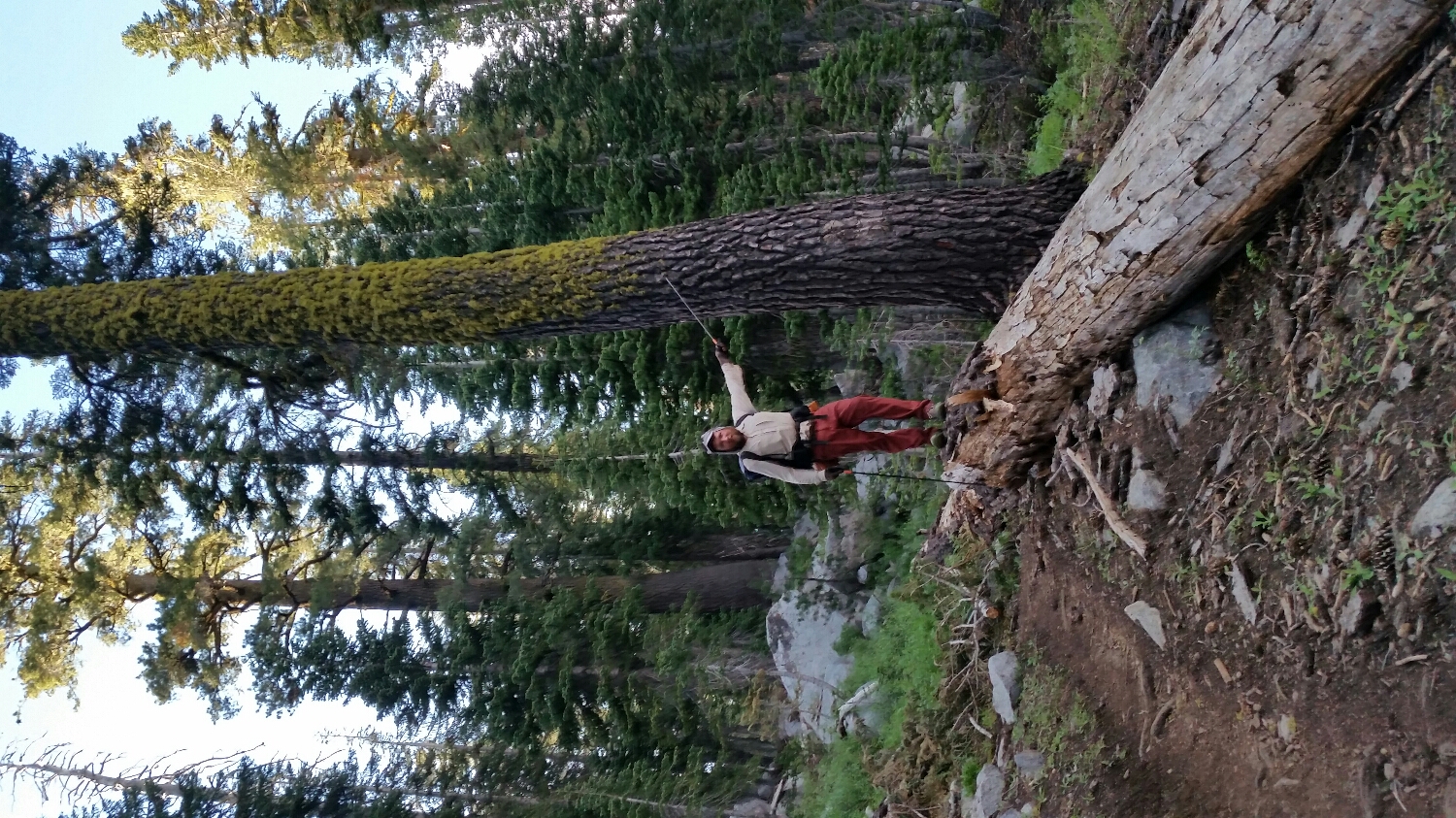
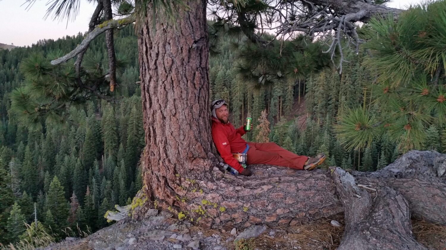
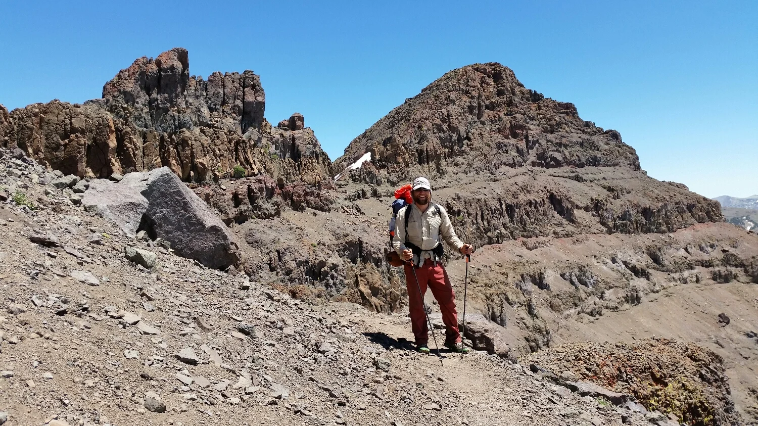
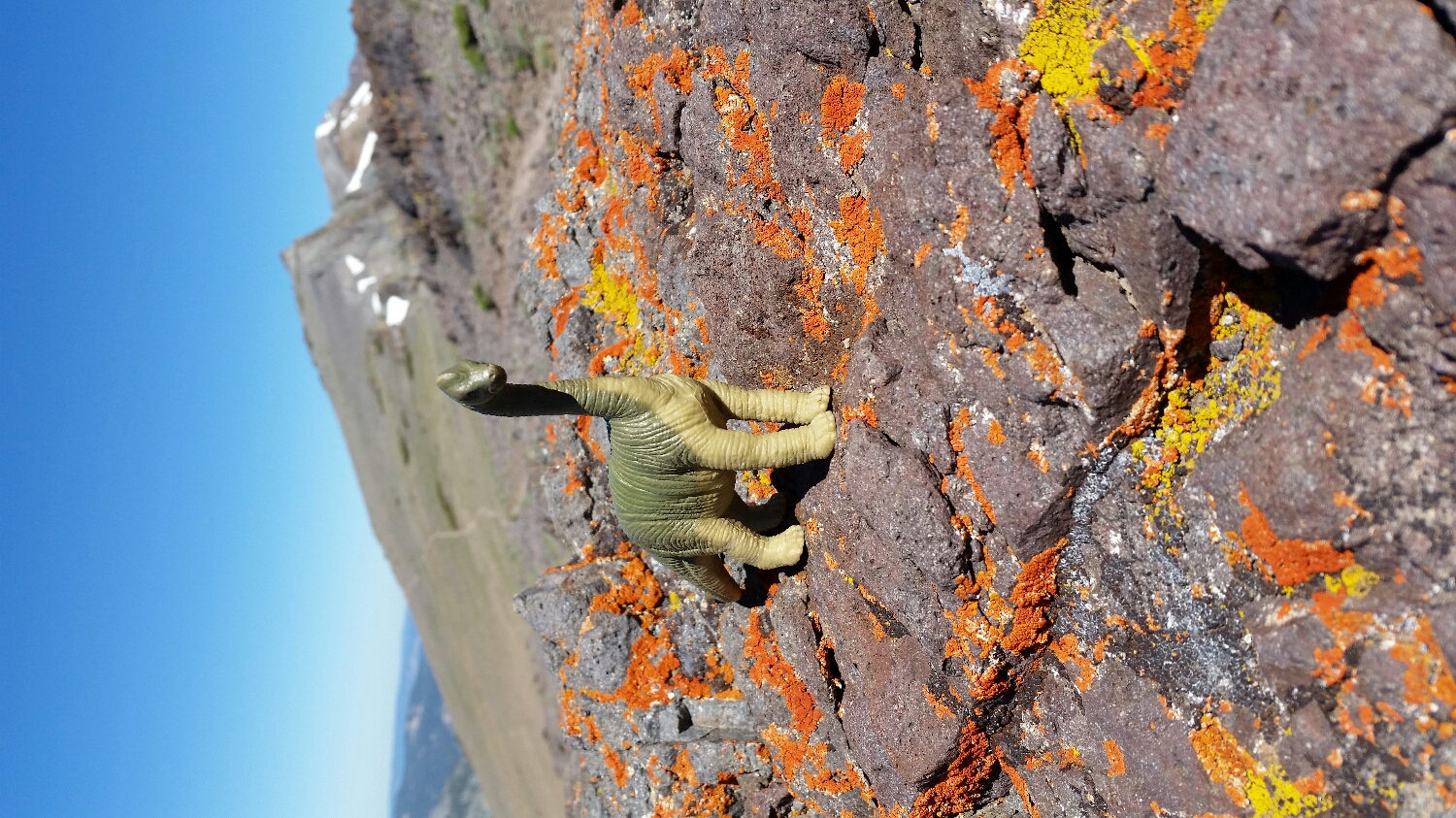
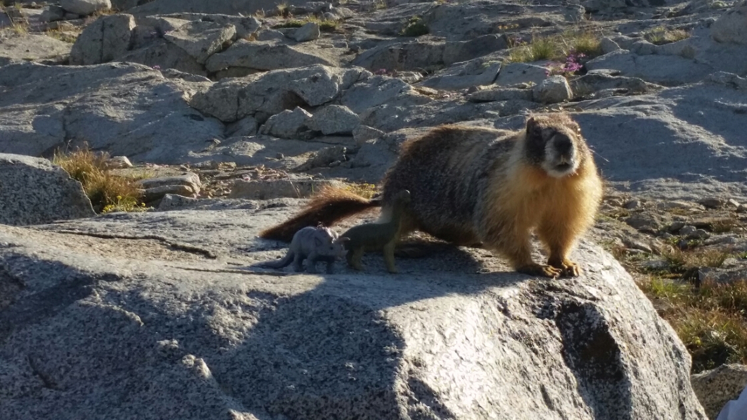
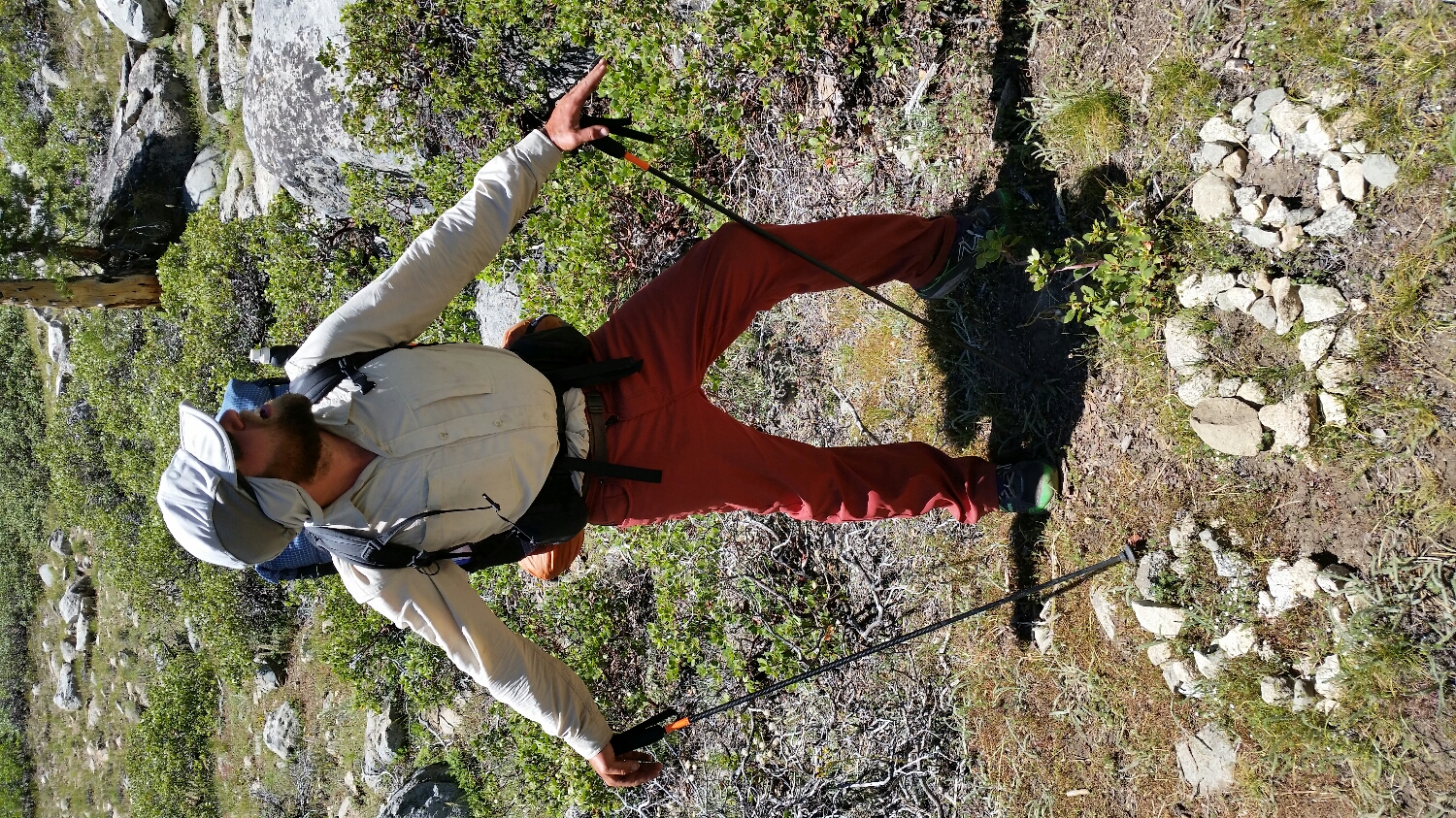
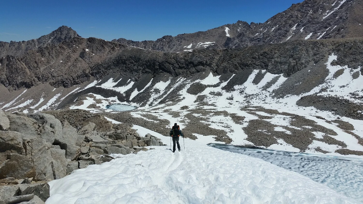
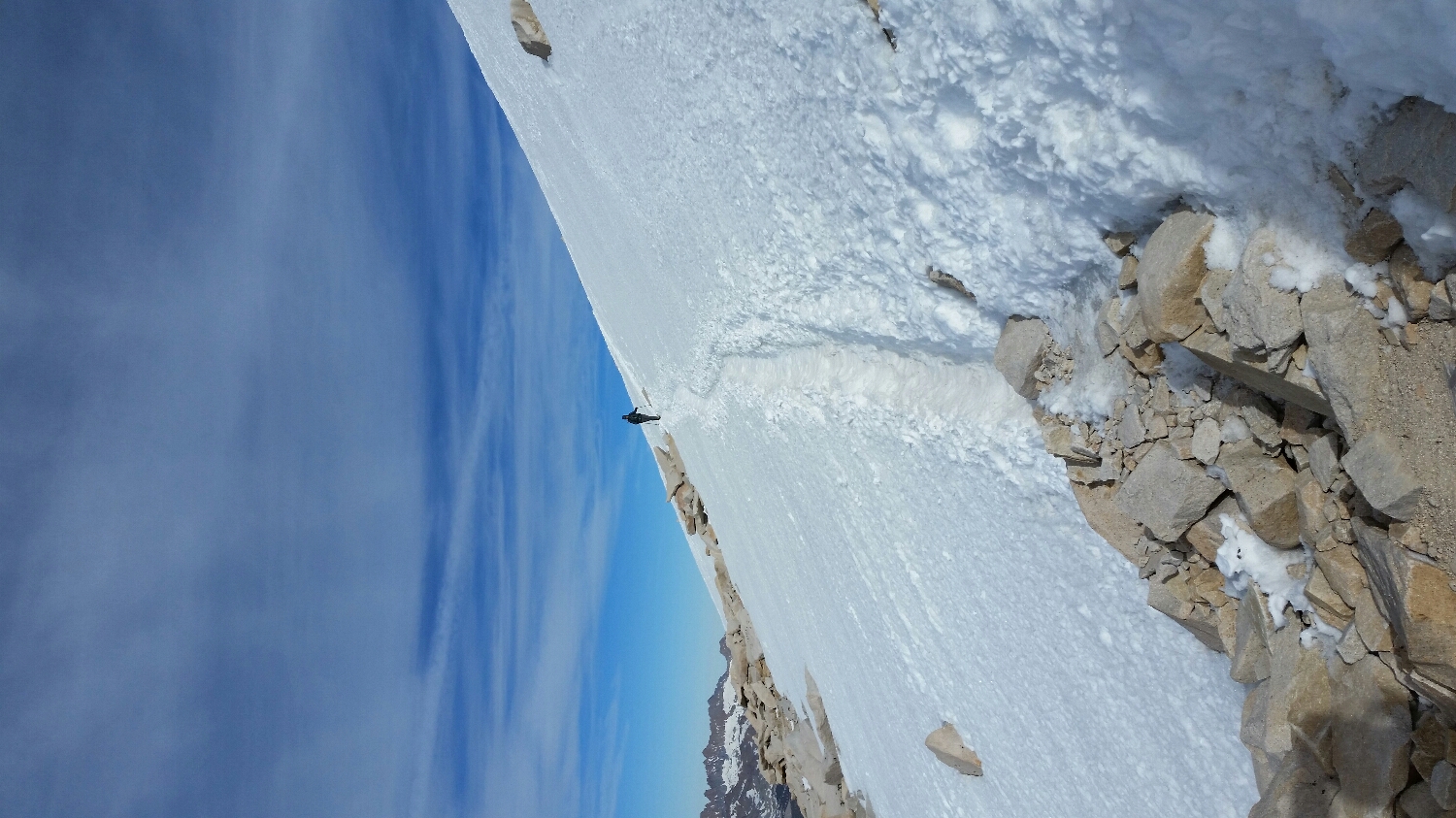
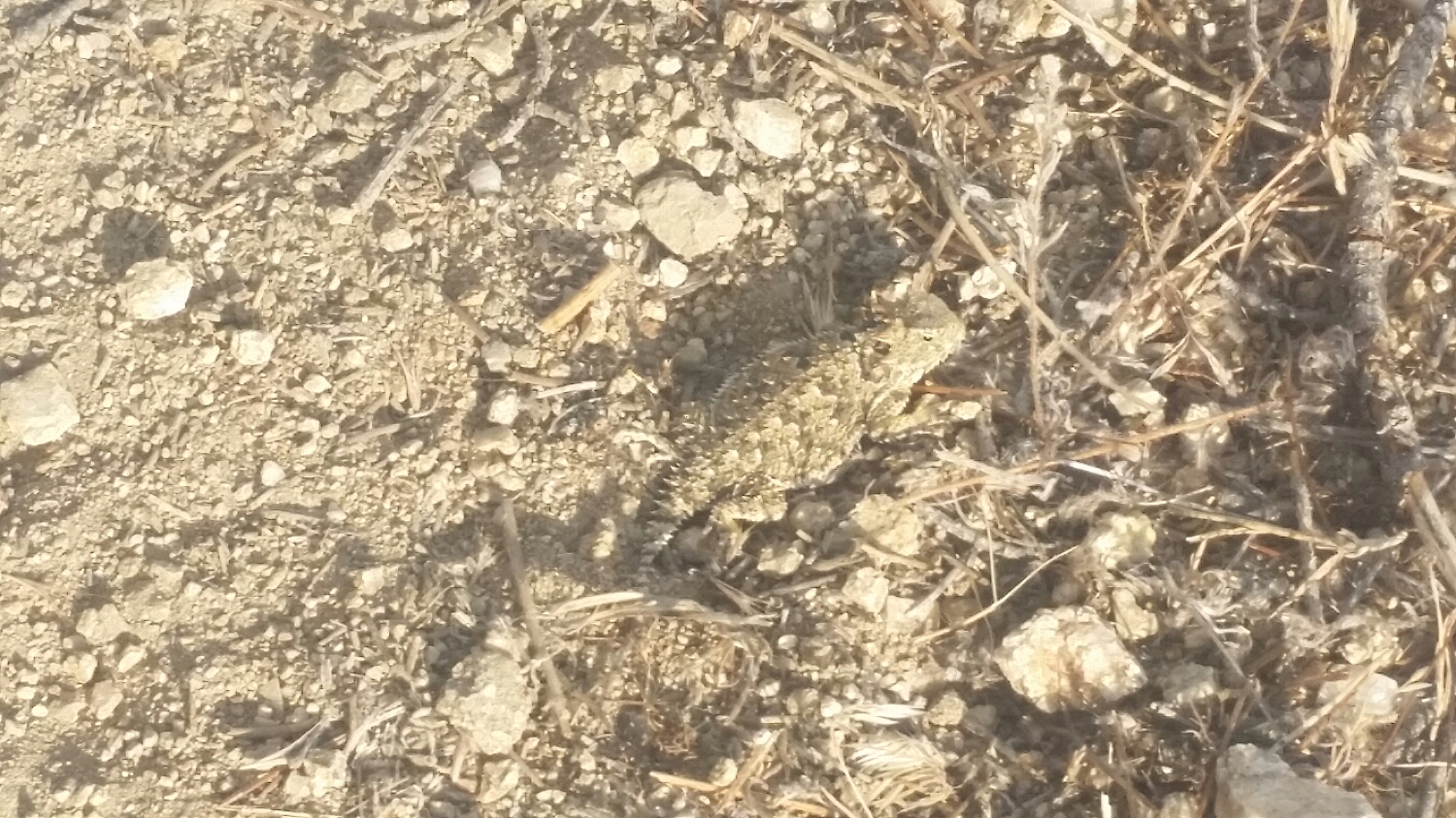
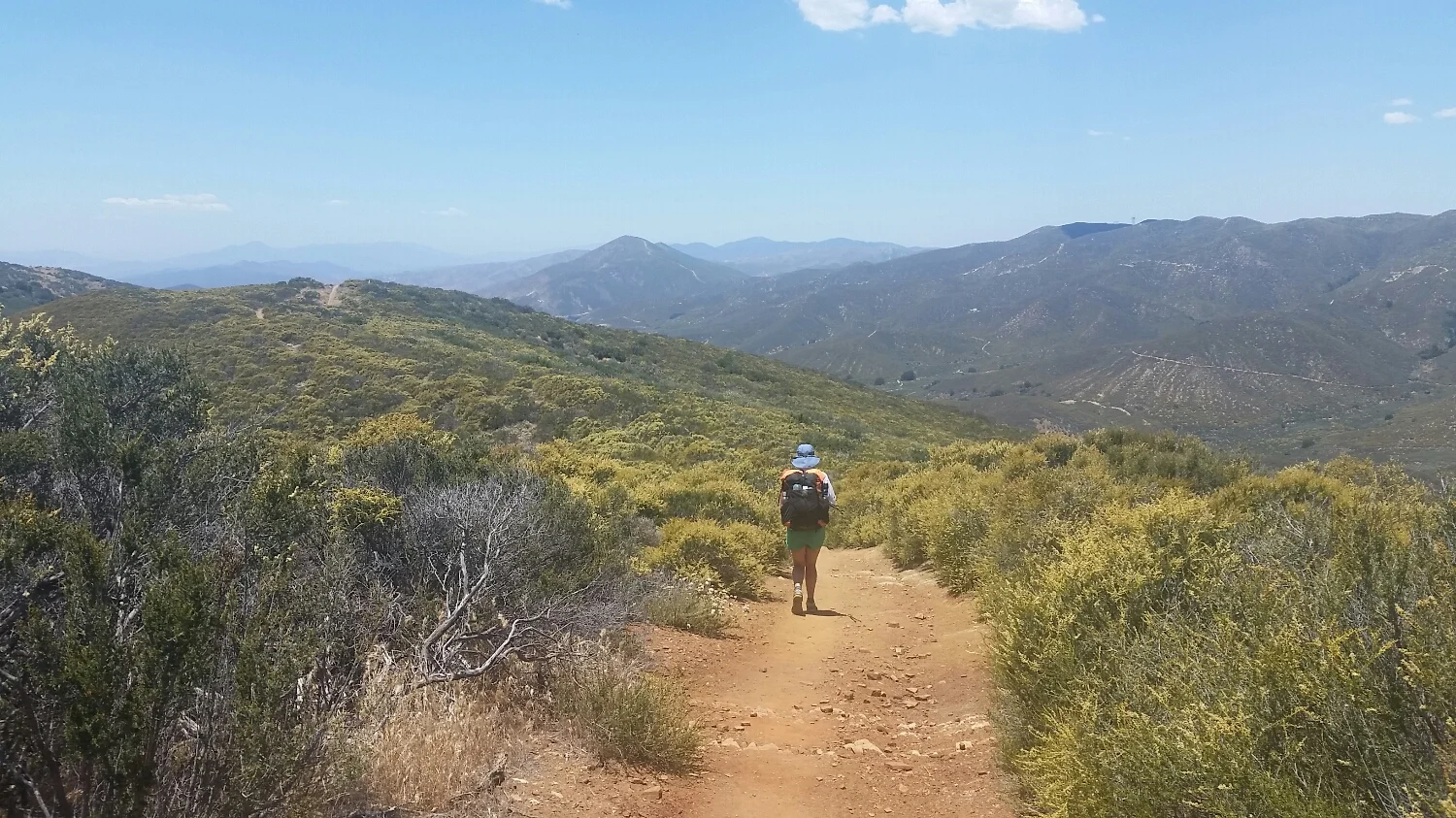
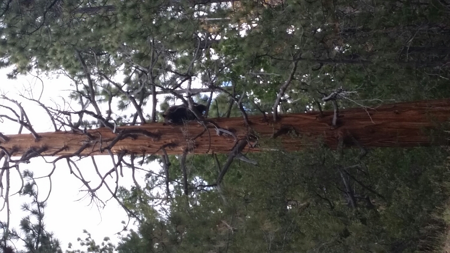
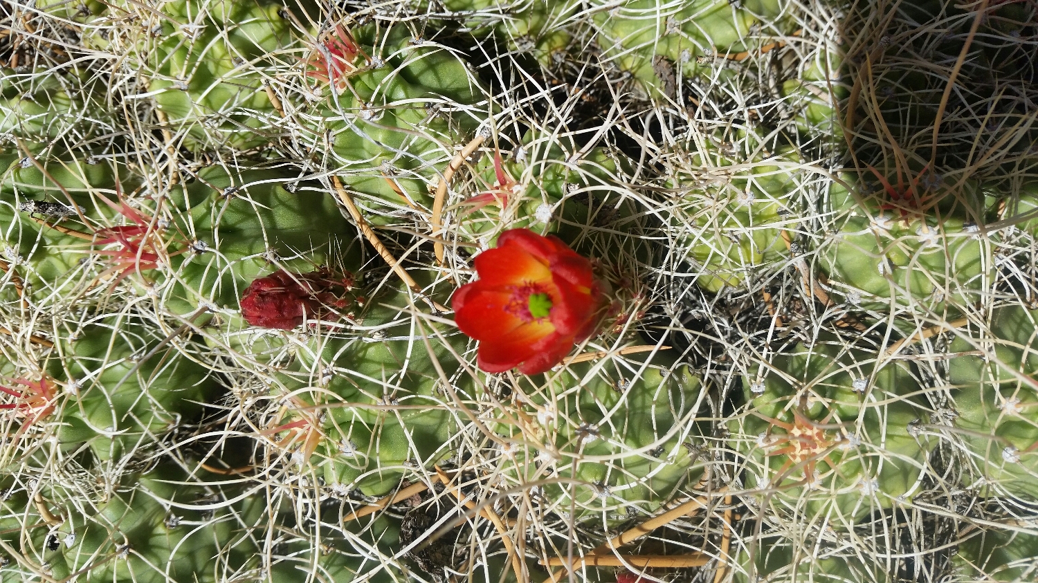
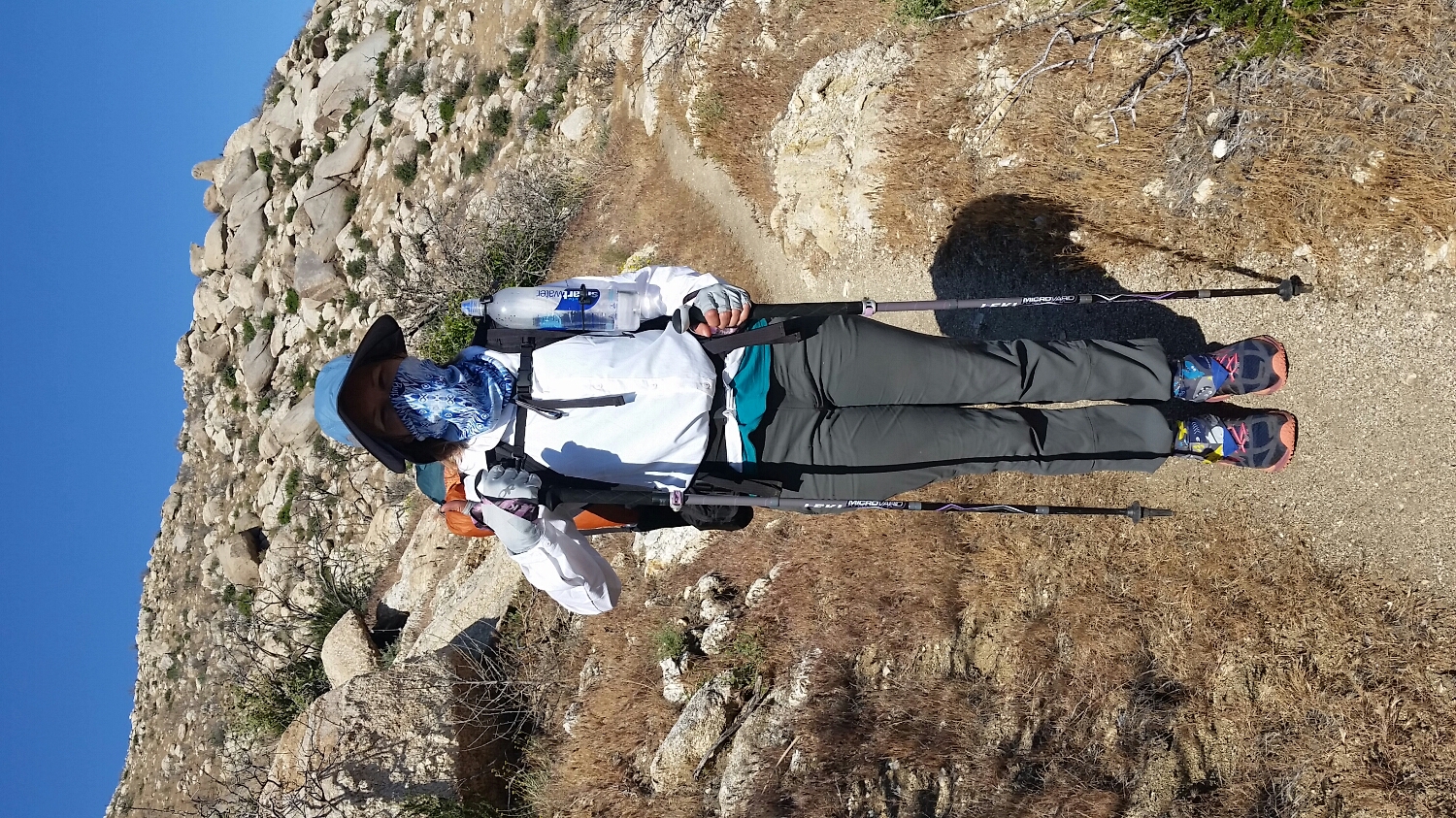
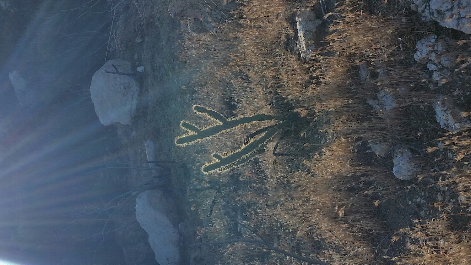
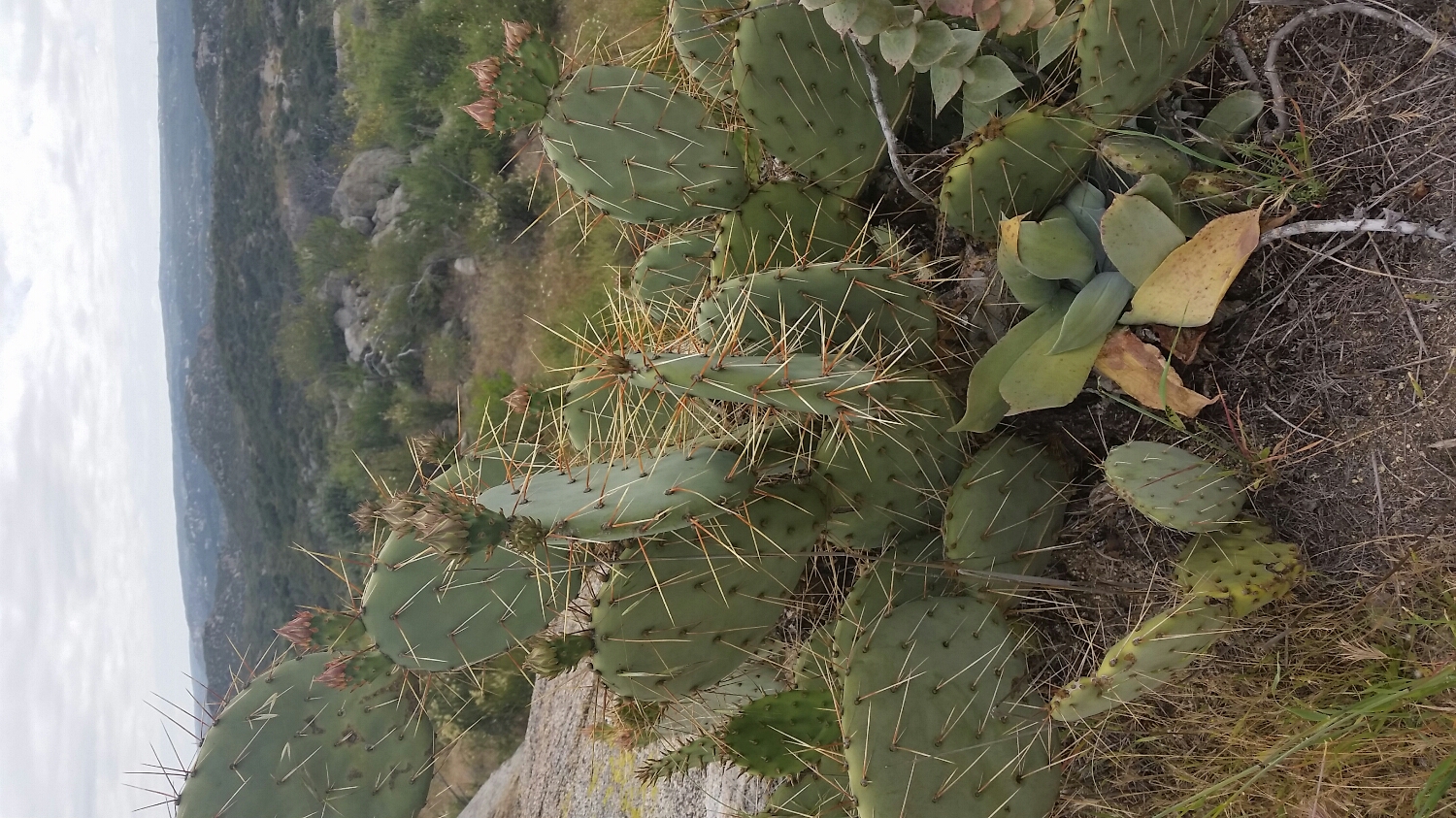
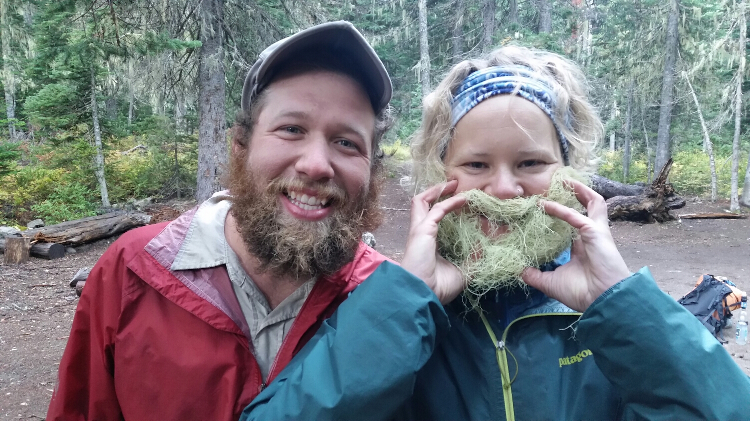
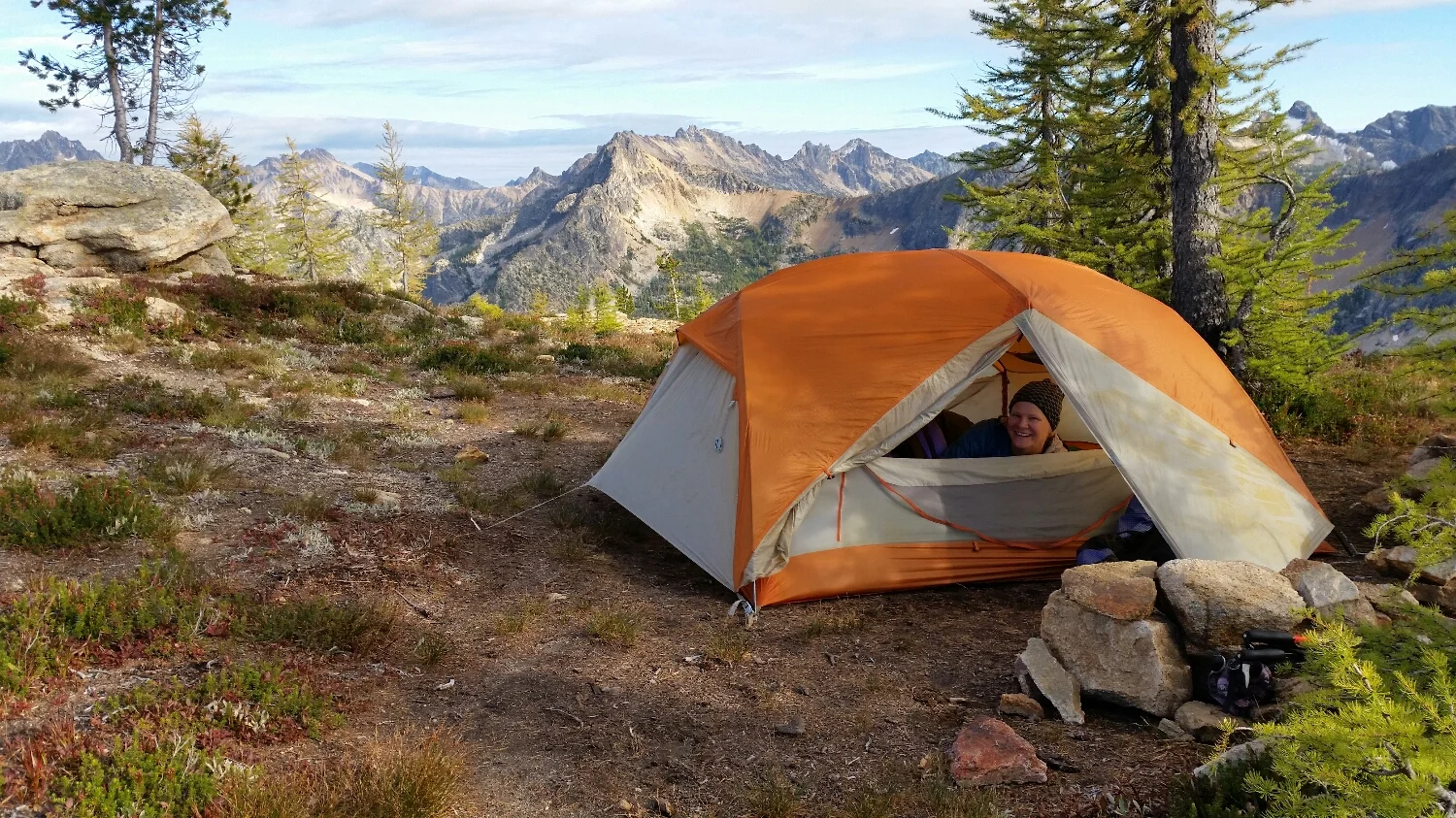
I'm almost camouflaged
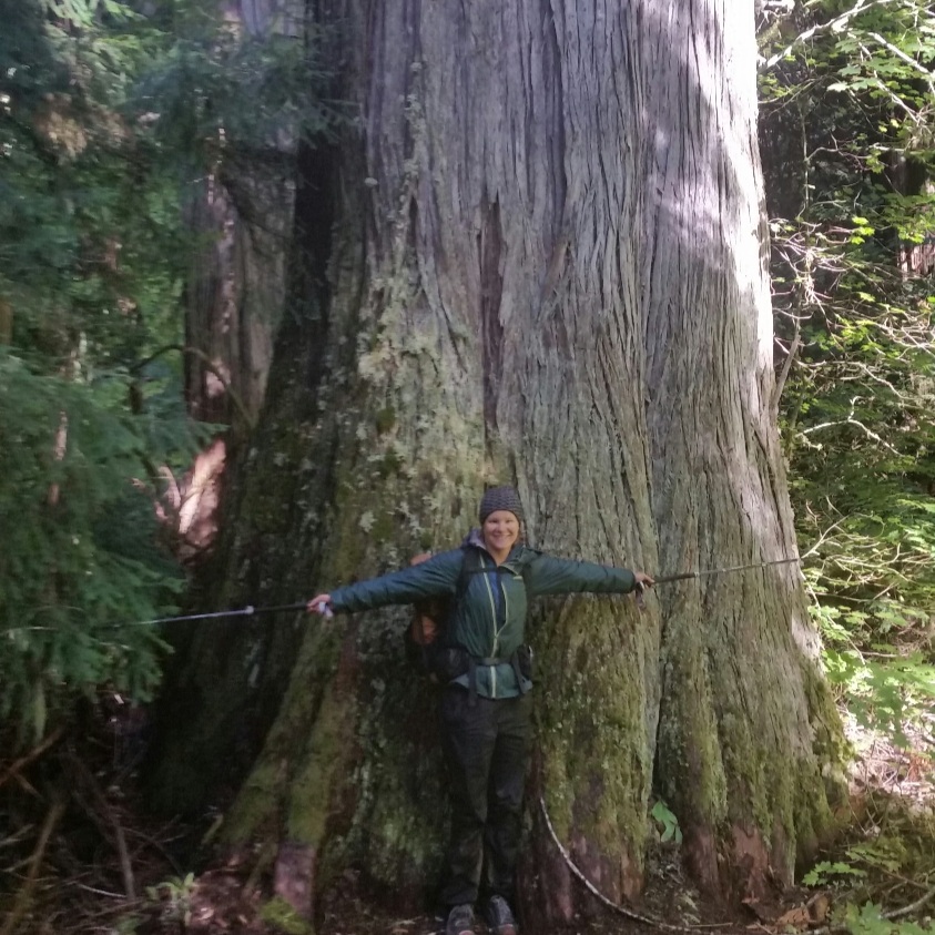
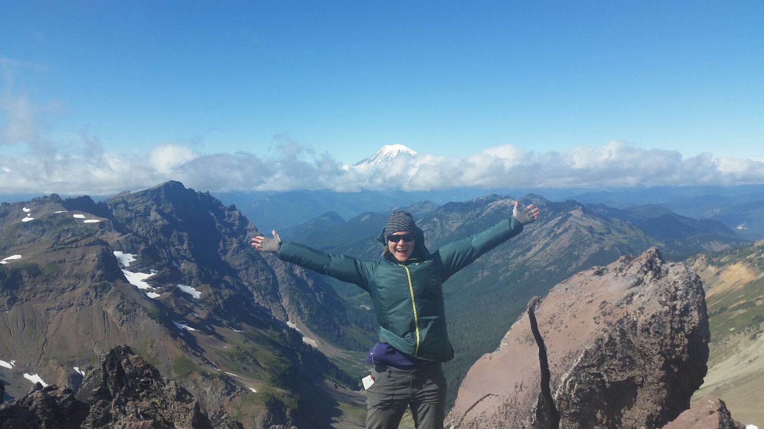
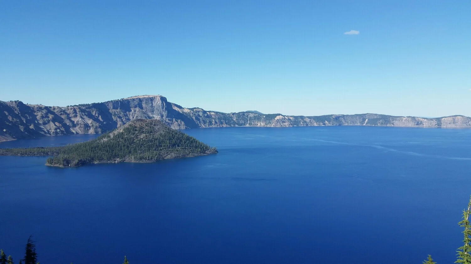
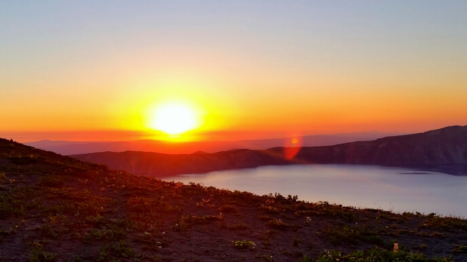
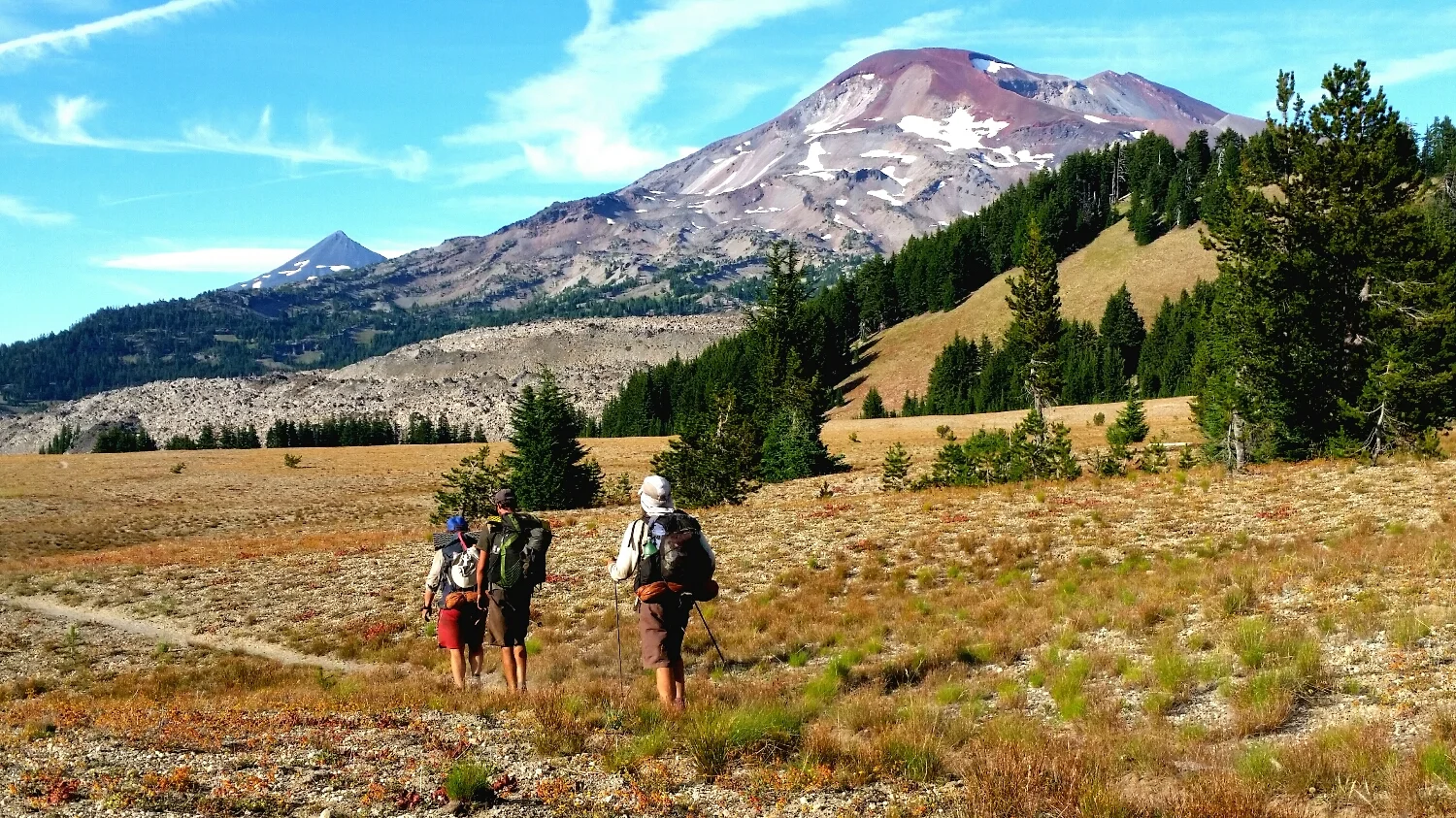
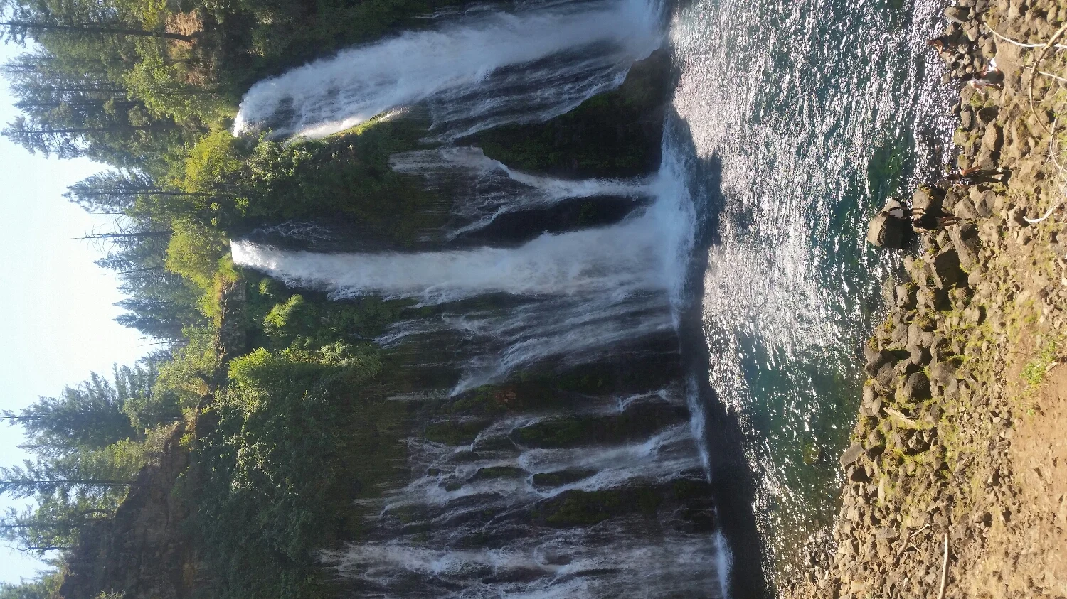
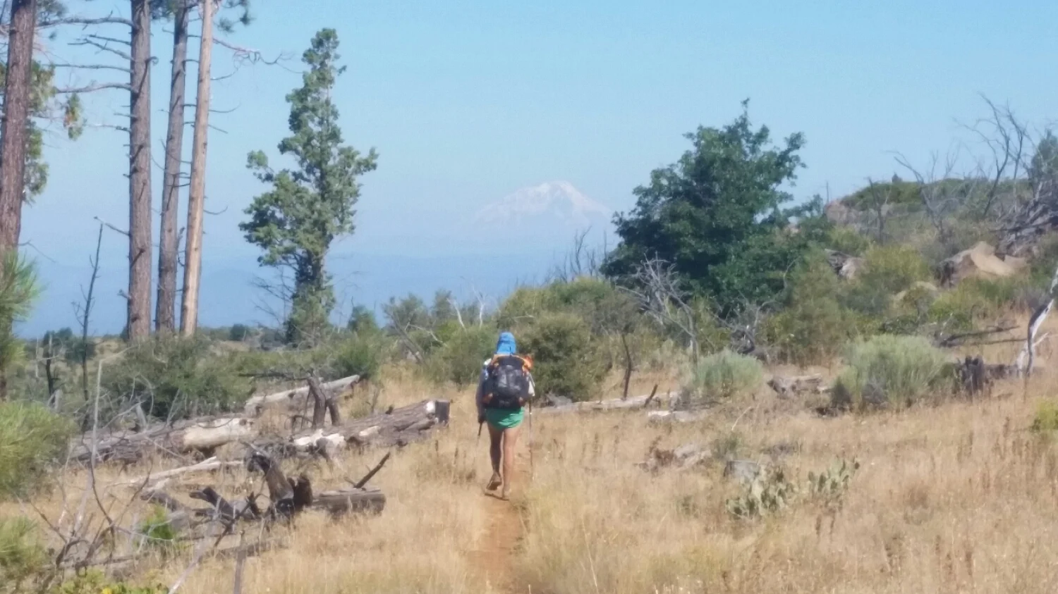
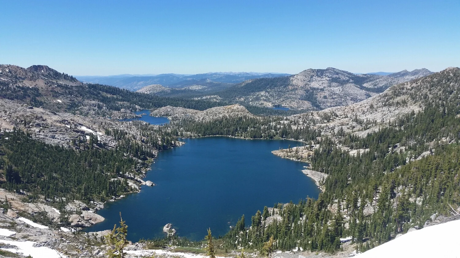
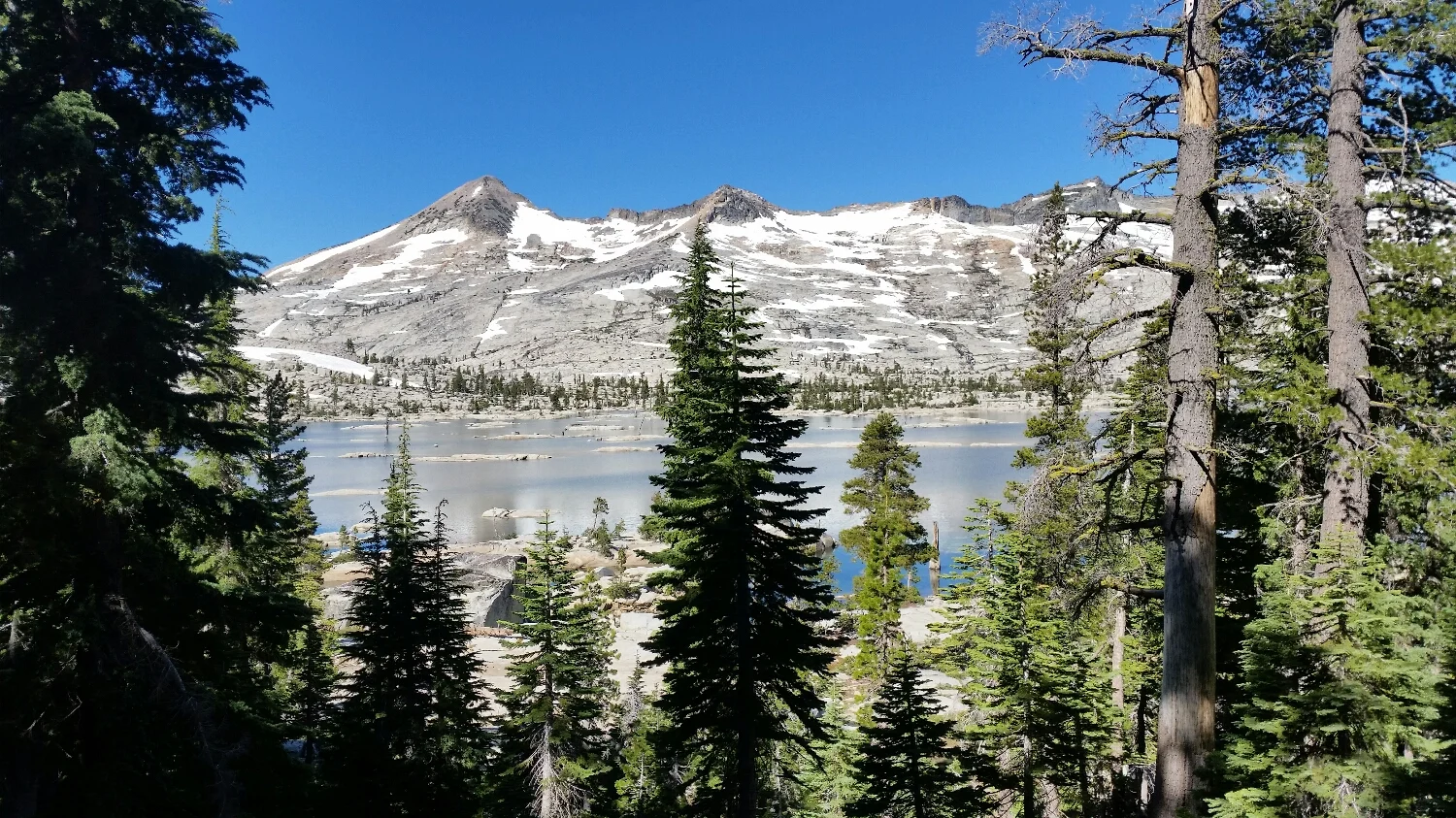
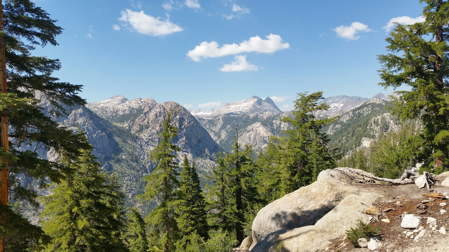
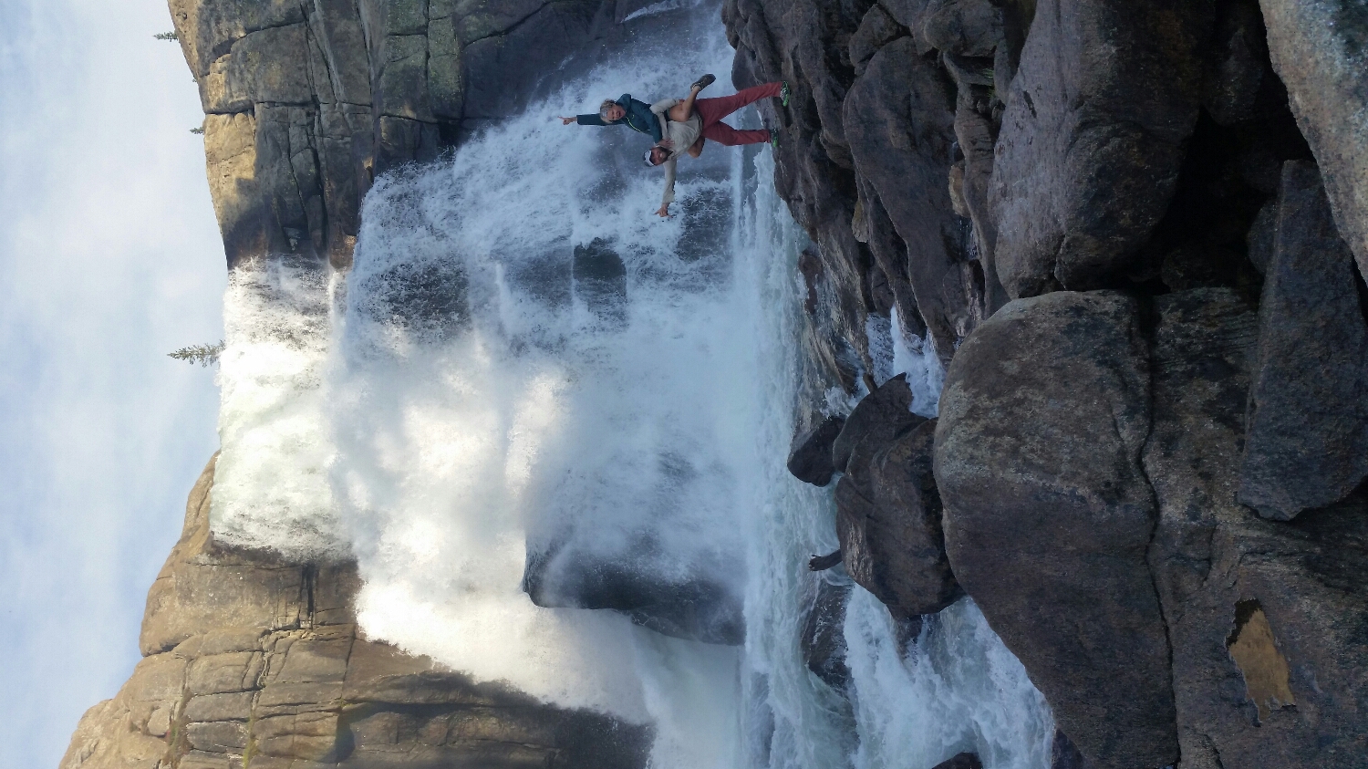
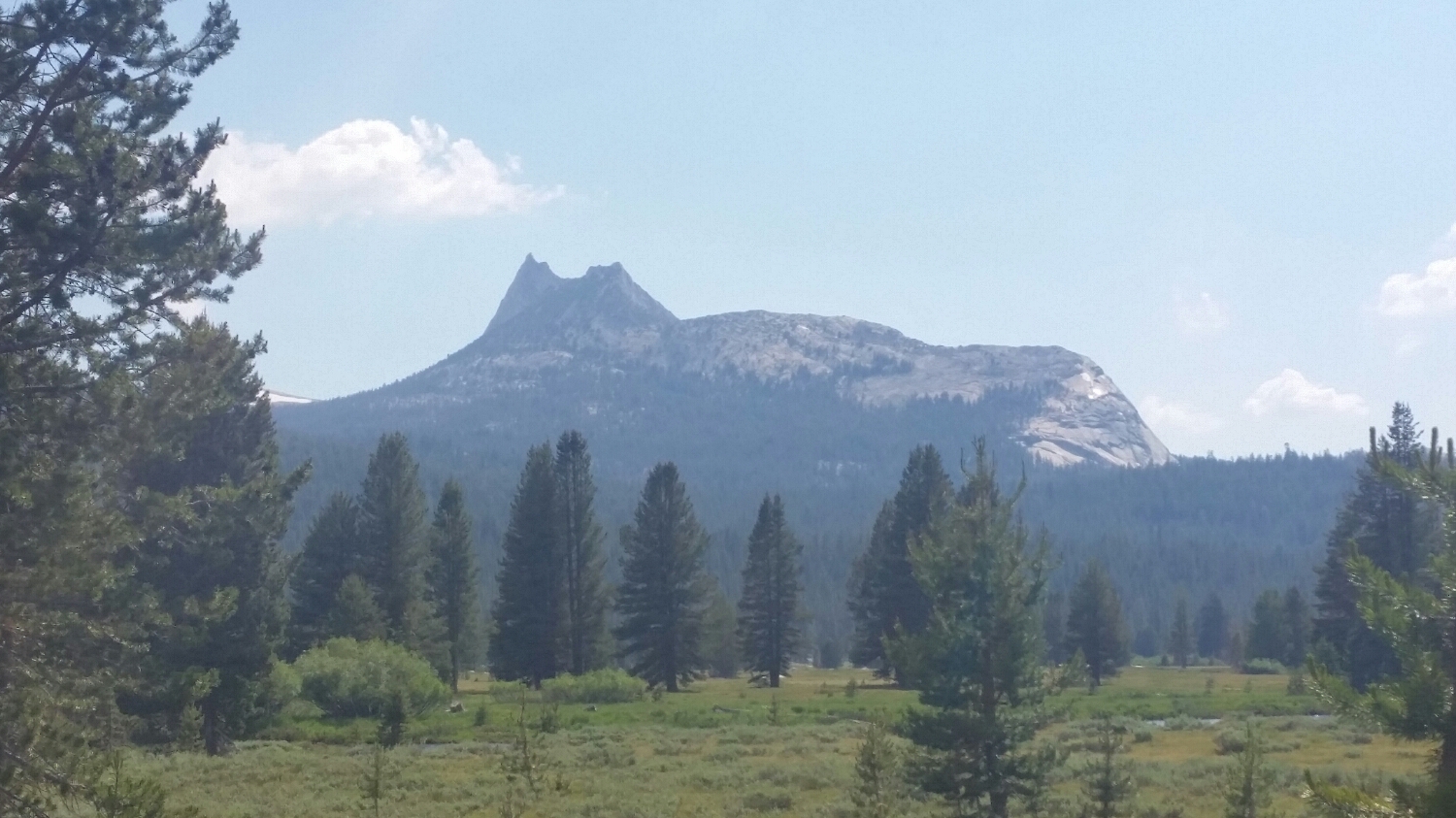
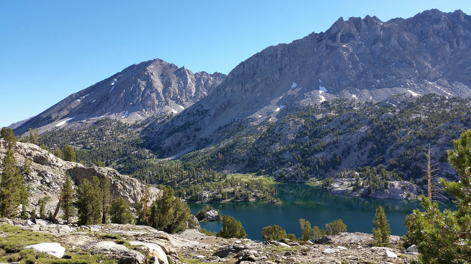
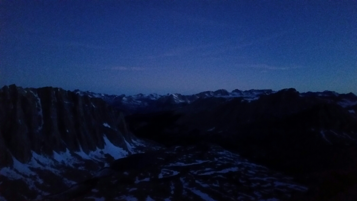
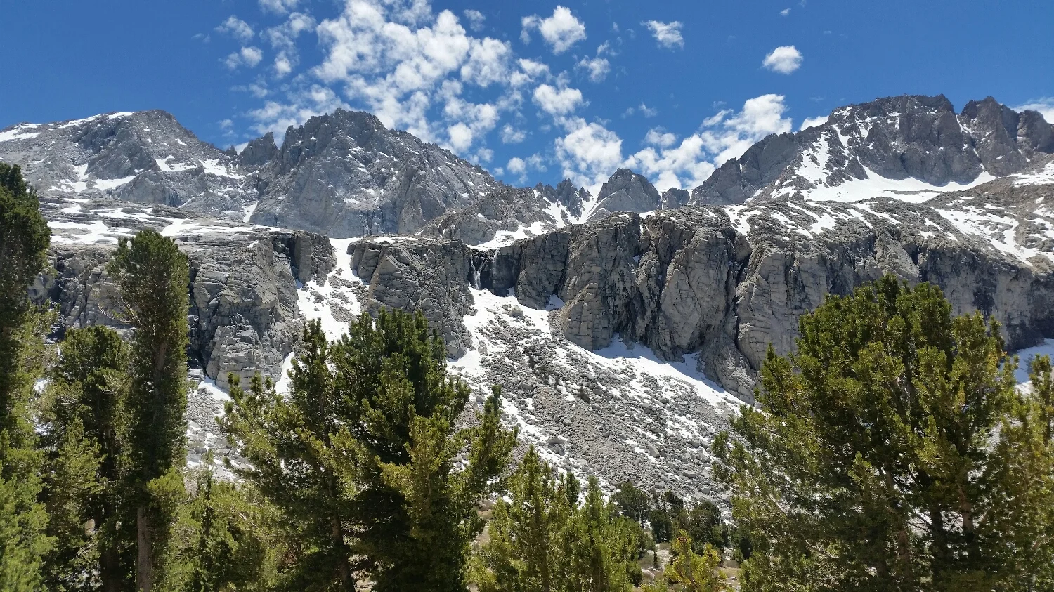
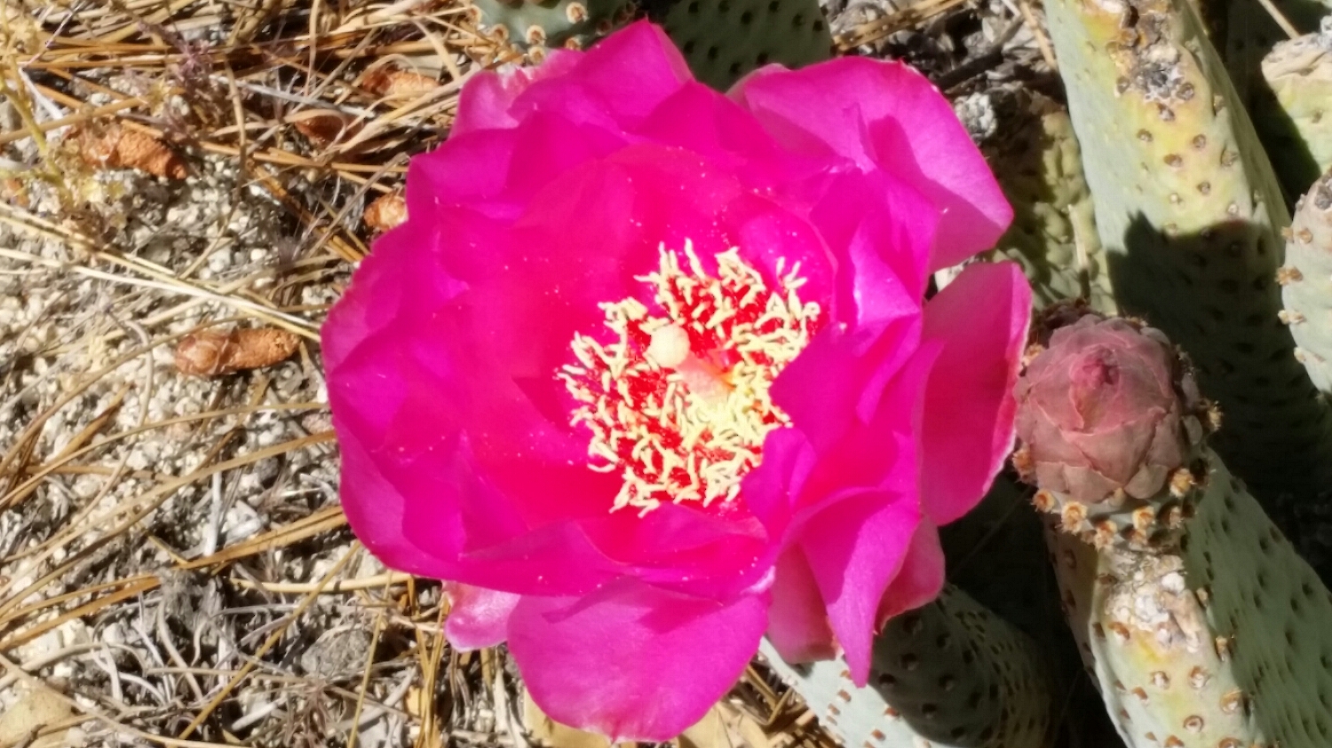
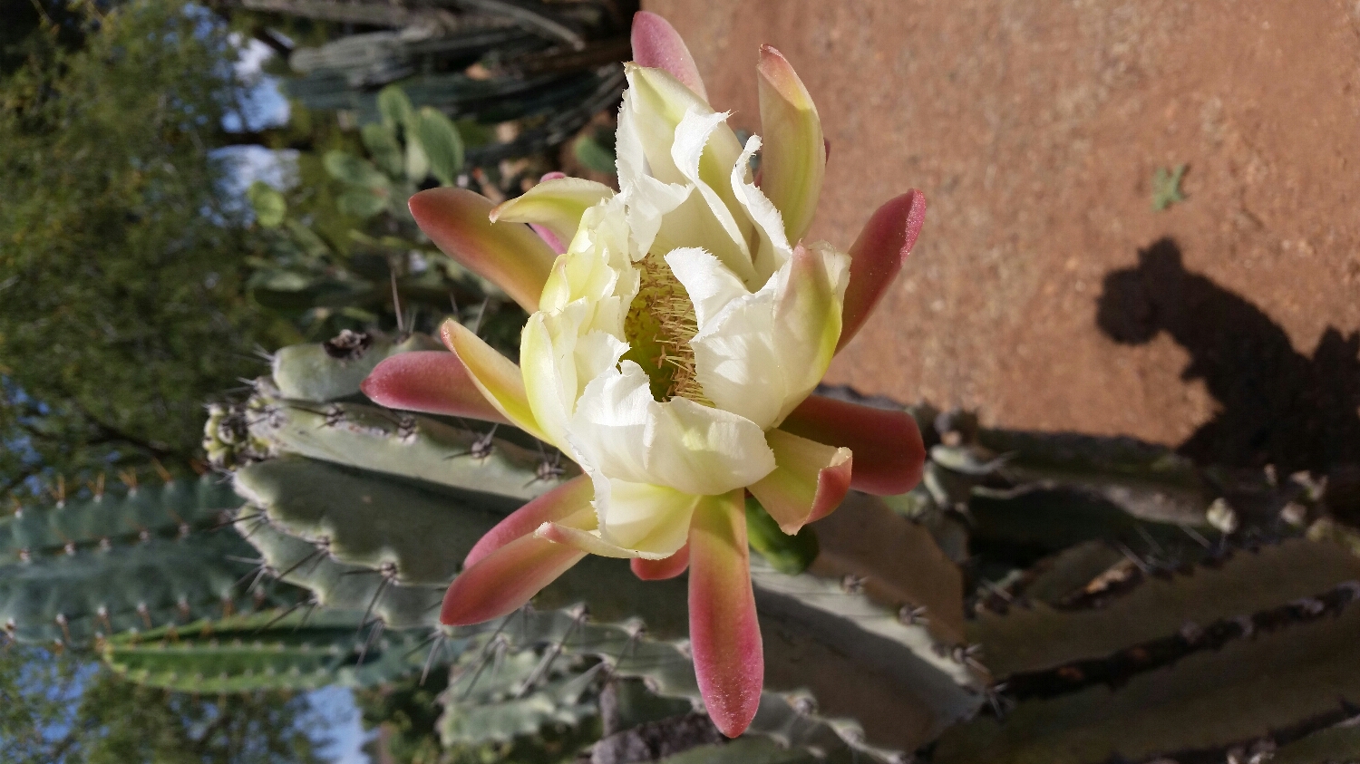
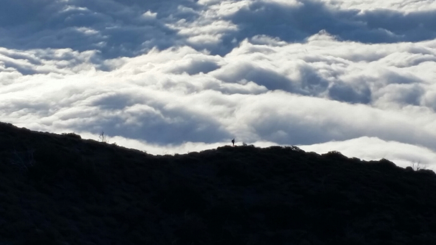
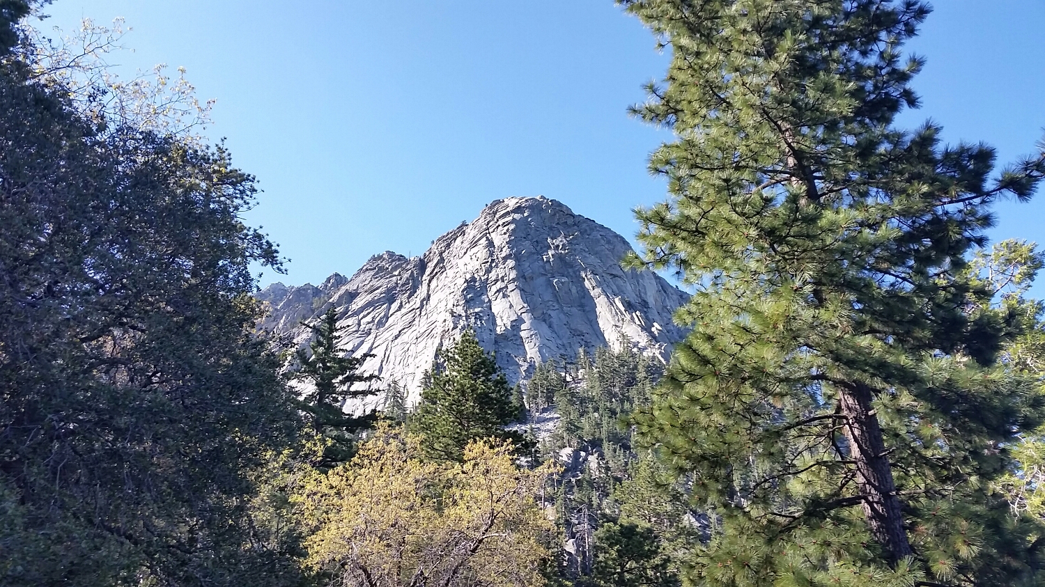
Doesn't even look real
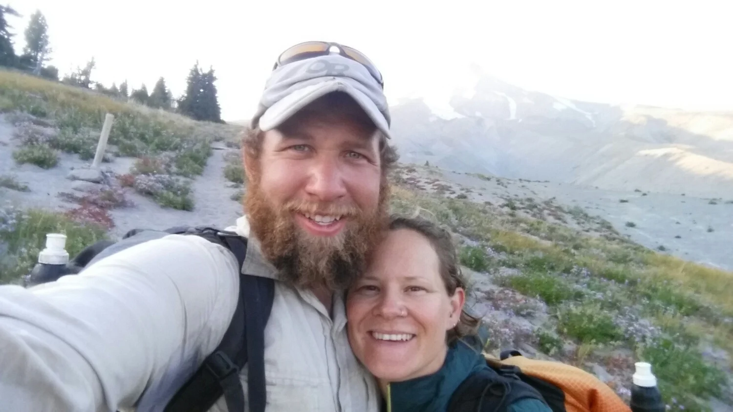
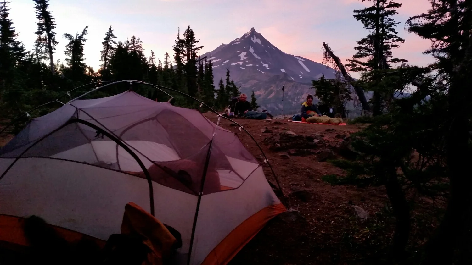
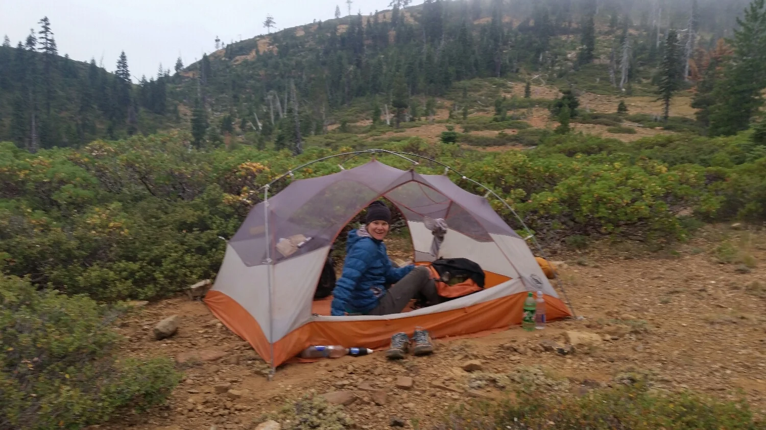
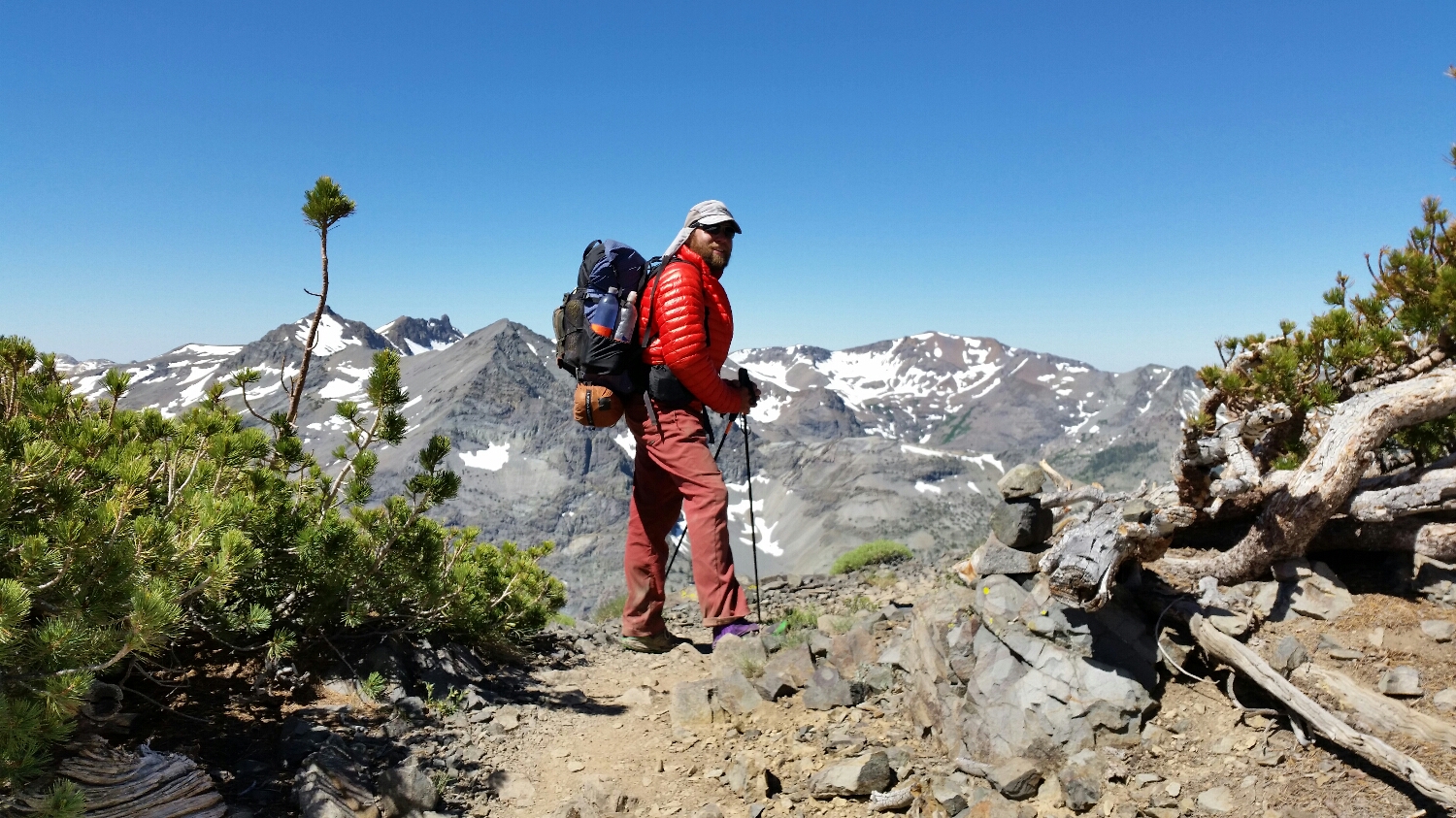
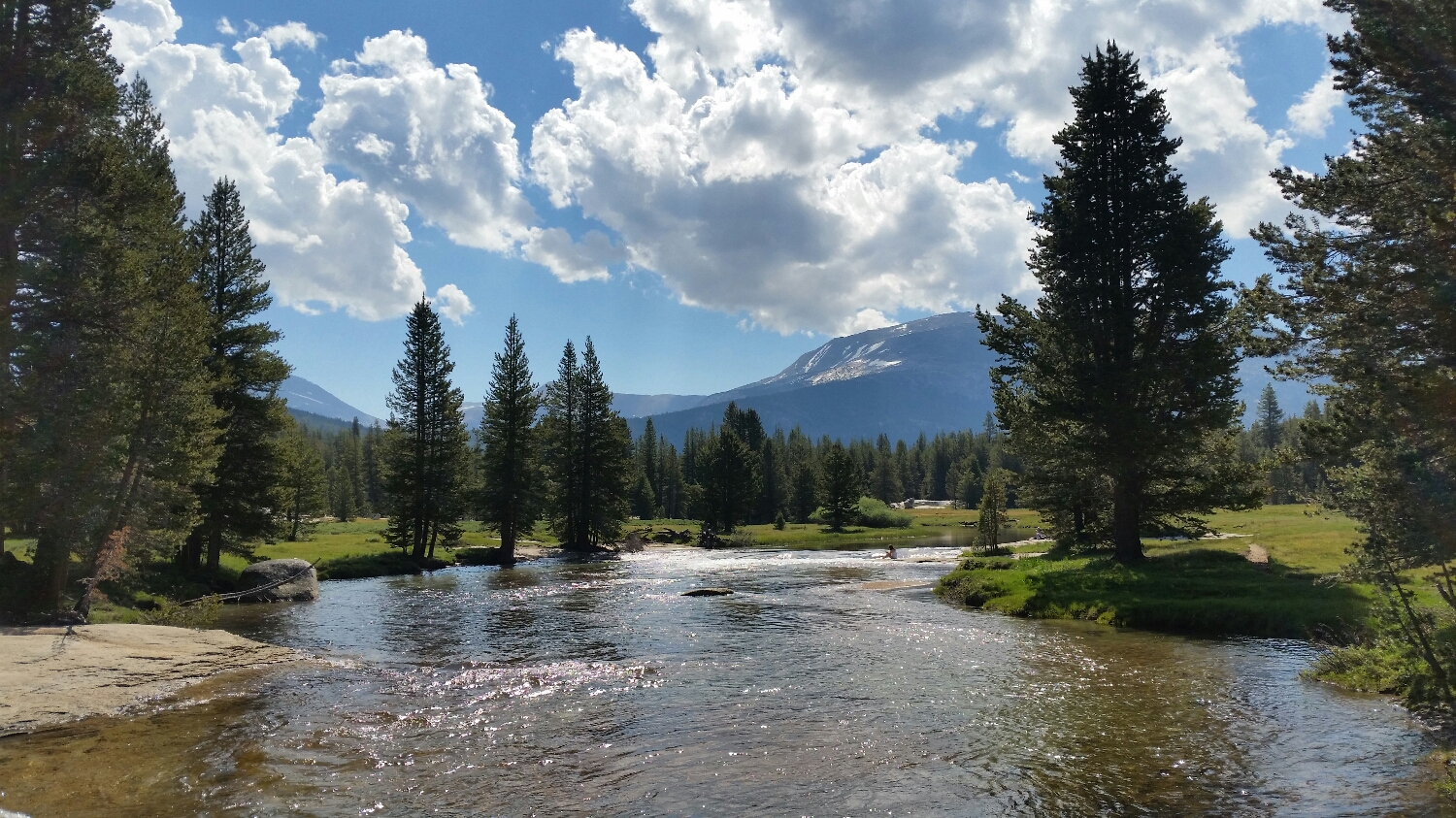
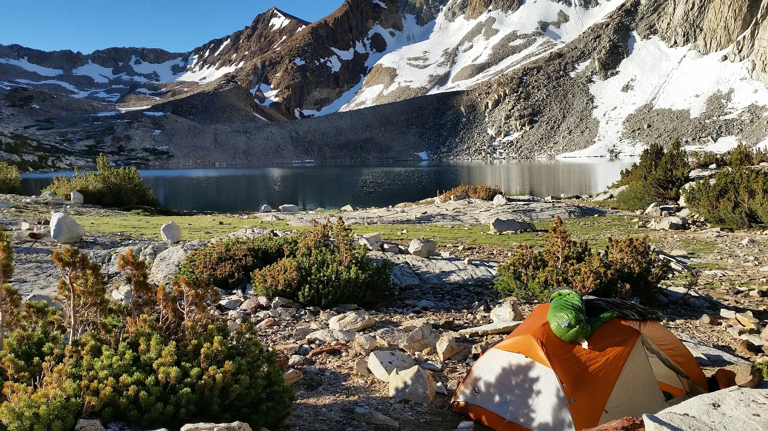
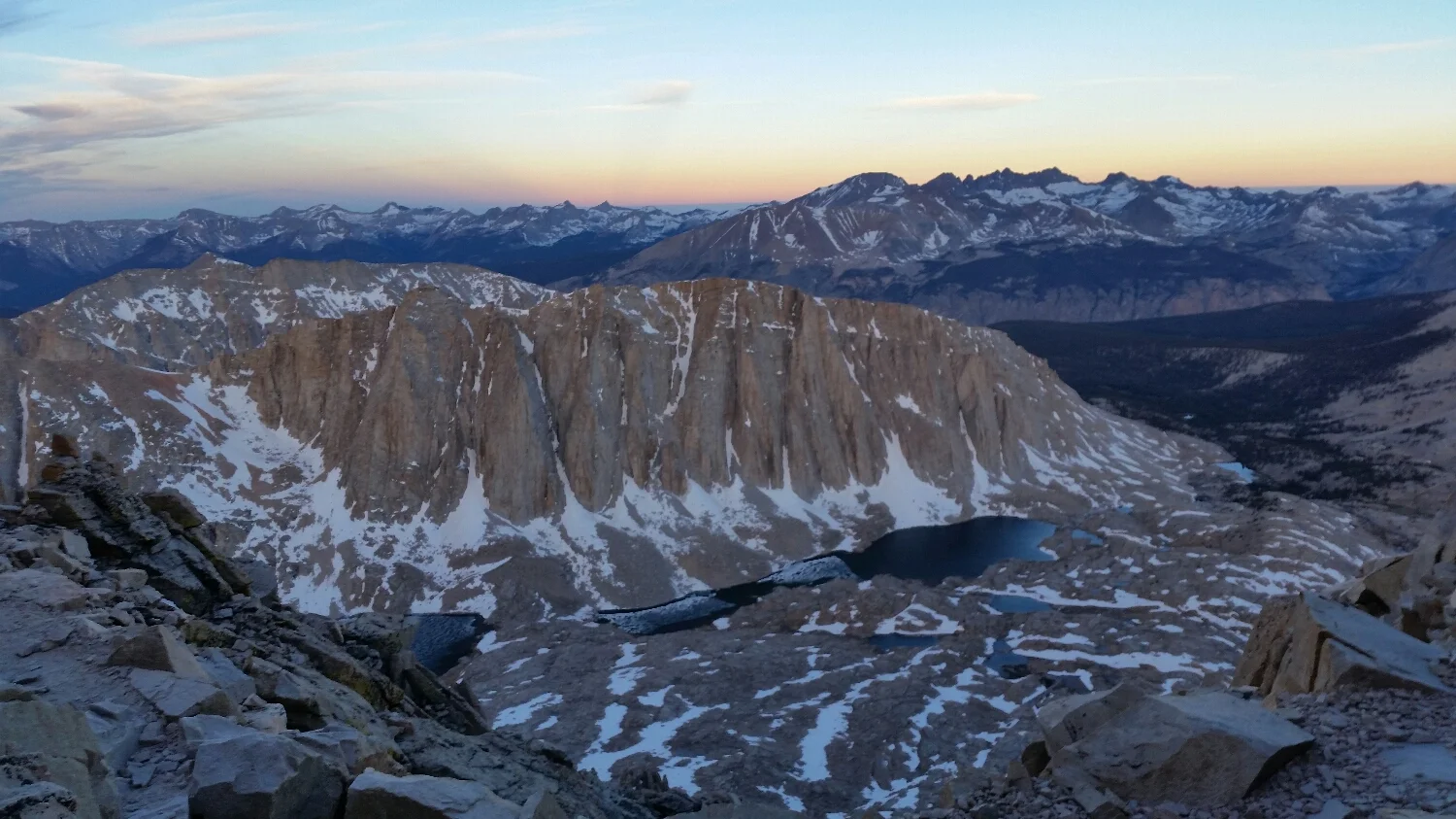
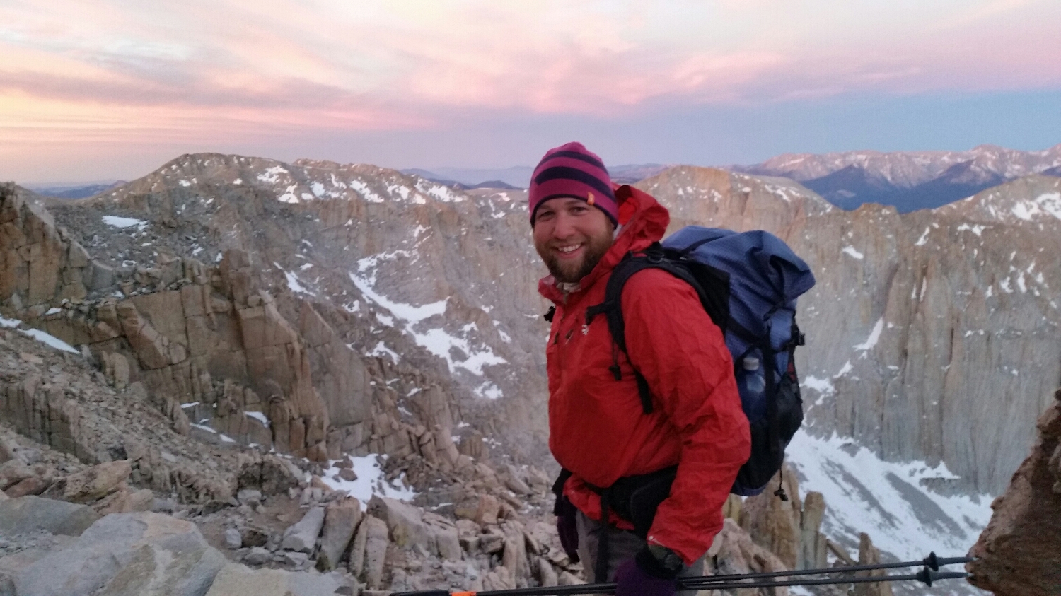
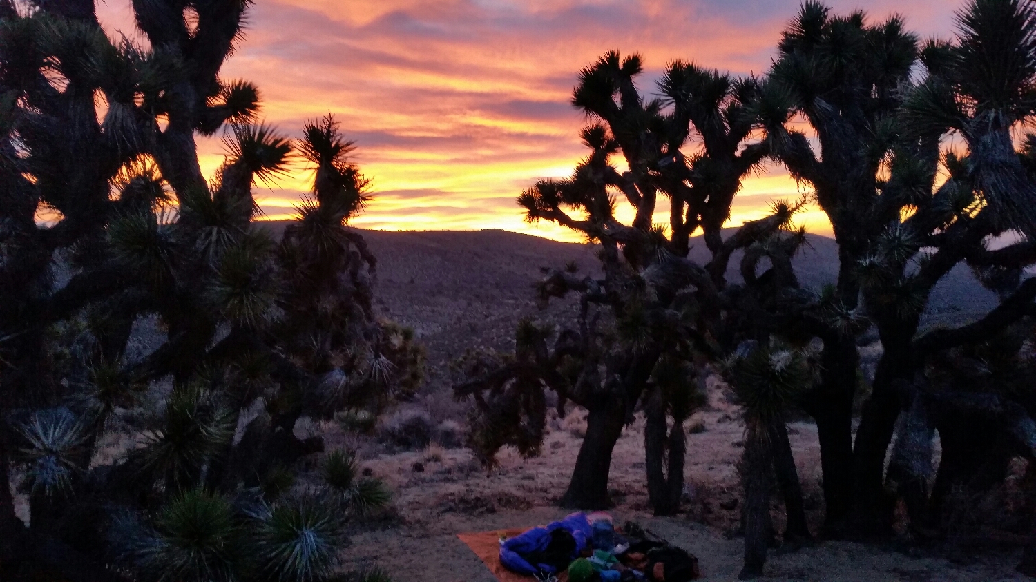
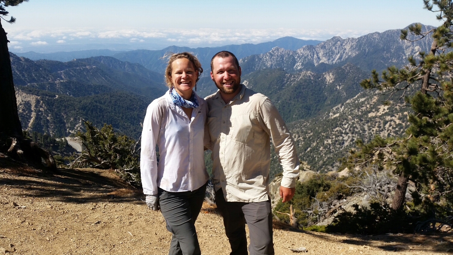
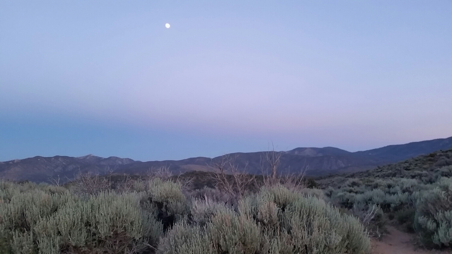
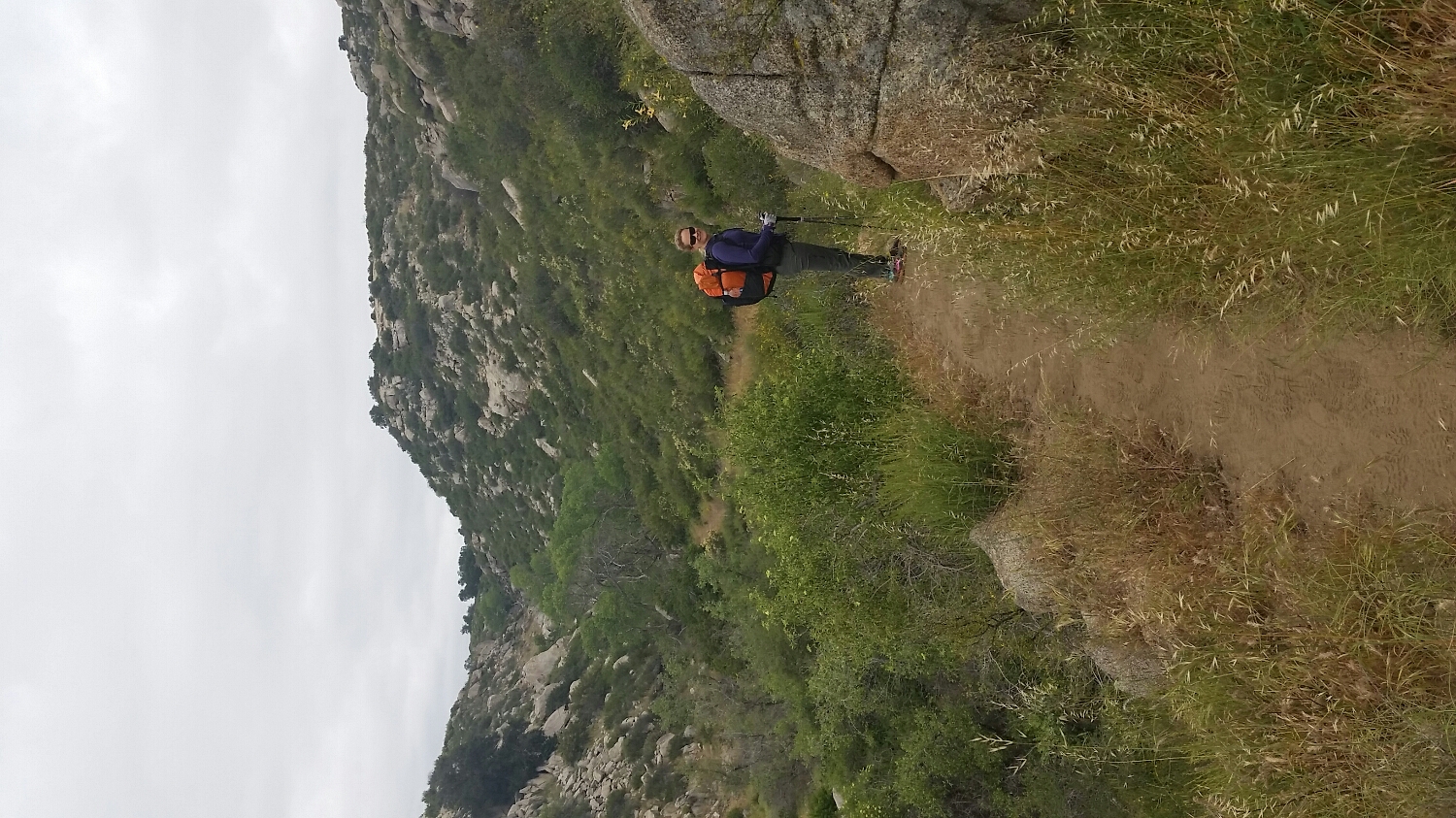
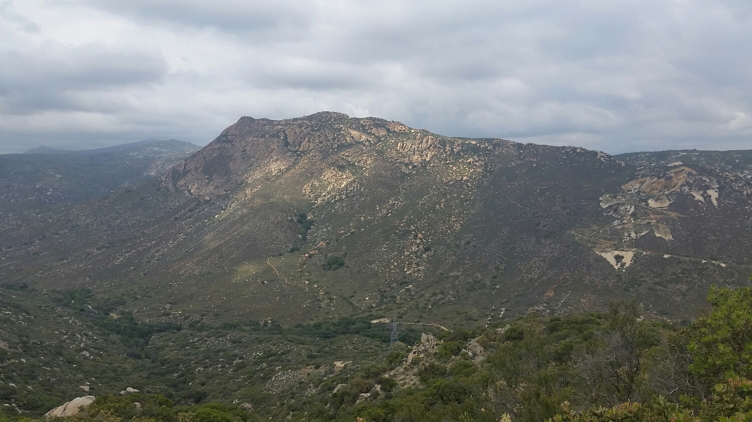
I'll take this view everyday.

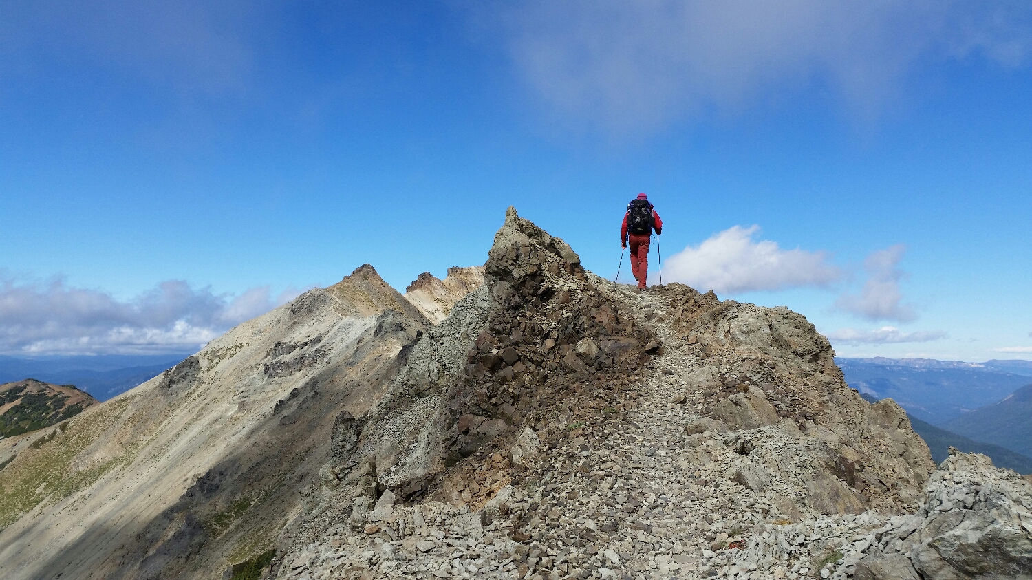
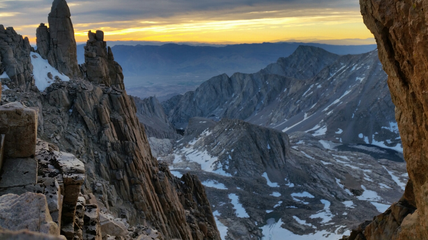
Larches in evening light
And that's it folks