Quick Note: I have been without signal for the past two weeks, so there are two new posts. To read the posts in order, scroll down and read Mojave By Day first. Also, I cannot be held responsible if after reading this blog post you quit your job, and starting hiking in the mountains with your significant other.
On 6/13 we did 8.7 miles to Kennedy Meadows and slept at 6,008. On 6/14 we did 15.6 miles to just north of South Kern Fork and slept at 7,949 feet. On 6/15 we did 19.3 miles to a random ridge and slept at 10,354 feet. On 6/16 we did 19 miles to Siberian Meadow and slept at 11,010 feet. On 6/17 we did 11.6 to grab tree meadows and slept at 10,317 miles. On 6/18 we did 20.6 miles after climbing Mt. Whitney and slept at 10,574 feet. On 6/19 we did 25.4 miles over both Forrester and Kearsarge Pass to Independence, CA.
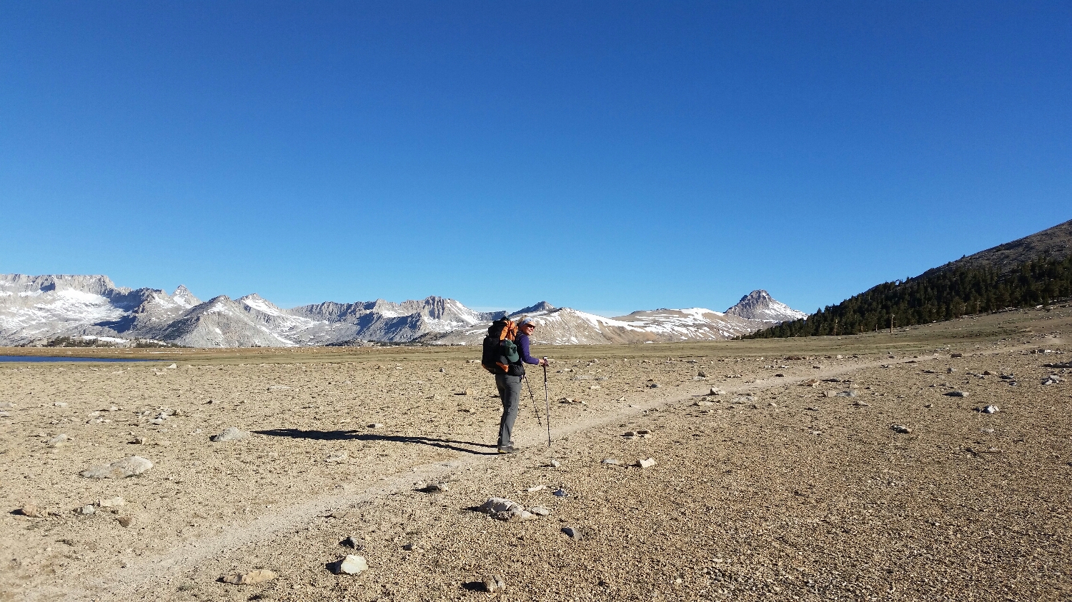
Holy Shit, we finally made it.. we have entered the Sierras. The gateway to the Sierras is a very small community called Kennedy Meadows where we received a 7 day resupply and formulated our game plan through the first stretch of mountains. We left Kennedy Meadows and entered Sequoia National Park, the terrain was different than the past 700 miles but nothing extrordinary, until we hit Gomez Meadow about 10 miles down the trail. There they were, our first snow capped peaks in the distance. We were welcomed into the Sierras with an entire valley of sage brush and the South Kern River. Water is no longer an issue as the snow melt provides constant water along the trail. For the next 300 miles we are going to stay above 10,000 feet elevation and do a mix of hiking and mountaineering.
For a PCT thru hiker timing is everything through the Sierras, if you hit them to early you will have to cross over feet of snow in snow shoes, navigate countless ridges and valleys without a trail and risk running out of supplies as your miles per day drop significantly. If you hit the Sierras too late you are risking hitting the Cascades, which are 1,500 miles away, in even worst snow conditions and you miss the opportunity to experience the mountains in a unique setting. There is no way of knowing how much snow will be in the Sierras when you set off for the hike. Just two weeks ago there were reports of multiple search and rescues in the mountains we are now passing through. By luck, or by SketchPad's awesome intuition, we are entering the Sierras at the perfect time. Plenty of snow to keep things interesting but not enough to knock us off the trail.
As we have moved up in elevation there is less vegetation and the mountains are primarily covered in Fox Tail pines, Lodge Pole pines and Sequoias. Because we are at such high elevations things do not decompose very fast and the dead trees bleach out and remind me of Damascus Steel with their twisted trunks and intense colors (yes, even dead trees in the Sierras are awesome). While the dead trees do provide unique color, there are far too many of them in the Sierras which is a grimm reminder there has been less than average snow fall/snow melt the past 7 years, which is having a very negative impact on the fragile alpine environment.
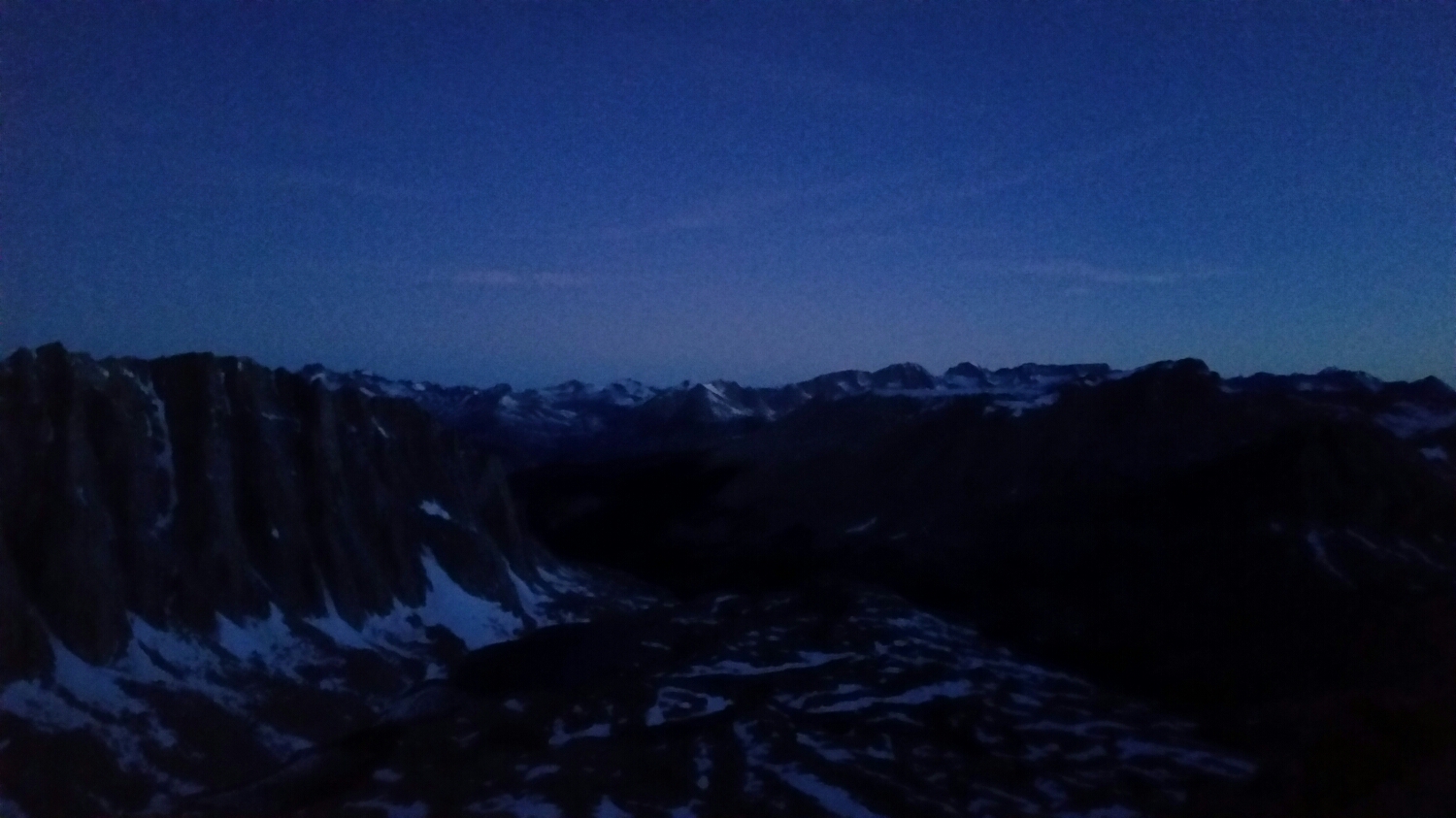
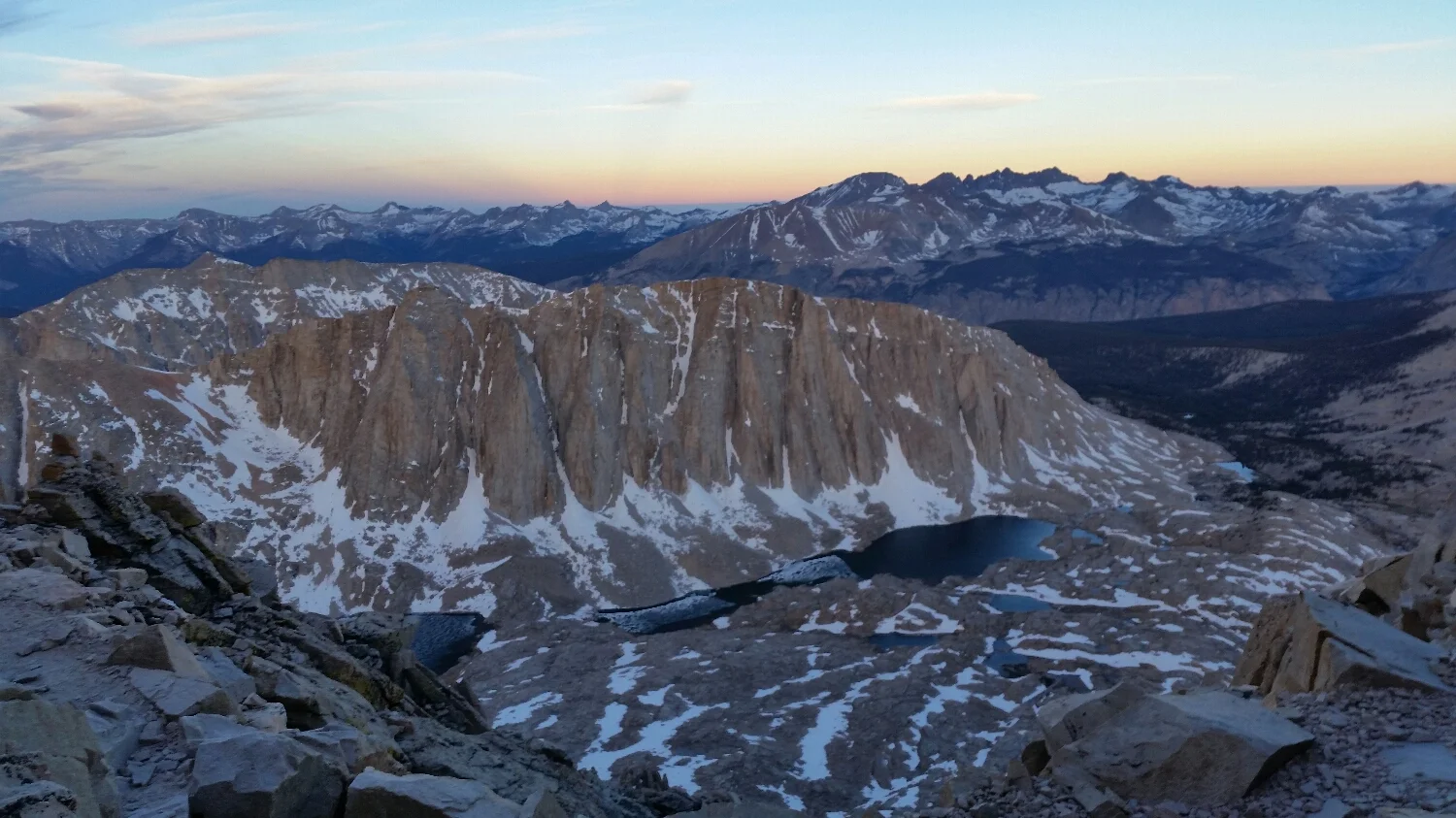
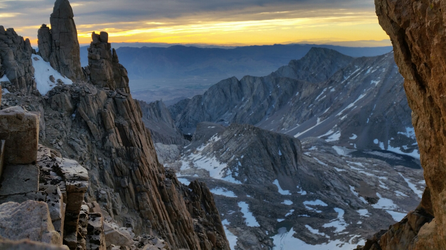
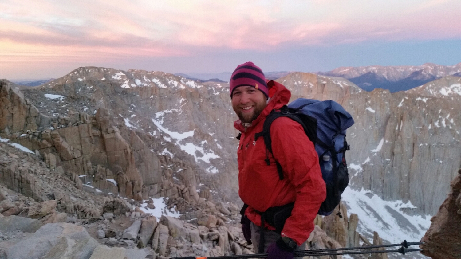
The 4th day in the Sierras we started our approach to Mt. Whitney, the tallest mountain in the continous 48 at 14,505 feet tall. We setup a base camp at Crab Tree Meadow looking directly up at Mount Whitney. We spent the day resting and watching the deer and marmots graze by the creek. It was almost a full moon that night, so we decided to get an alpine start and left camp at 2am for the summit. It was surreal to watch the moonlight highlight the giant mountain walls and reflect off of the lakes as we appoached the Whitney Basin. We had a slightly difficult time navigating the snow fields at night since the trail was not identifiable. We eventually were able to find the start of the switchbacks up the mountain by 4am. We climbed for another hour as the sun light started to creep over the horizon. We were 3/4 of the way up Whitney at sunrise and walked by a cathedral window and witnessed one of the most epic color shows in the sky. We pushed on as the thermals picked up; between the wind, elevation and time of day we were freezing. The only way to keep warm was to keep moving. After crossing another high angle snow field we were at the summit by 630am. It is tradition to take naked summit photos on top of Whitney but it was way too cold for any shenanigans, we snapped a few summit photos and sought shelter in the hut at the sumit. After warming up for a half an hour we headed back down the mountain. In the daylight we were both suprised how steep of a climb it was and how many drop offs there were, which could not be seen at night. Once back at camp we tried to get a little sleep before heading down the trail for a few more miles.
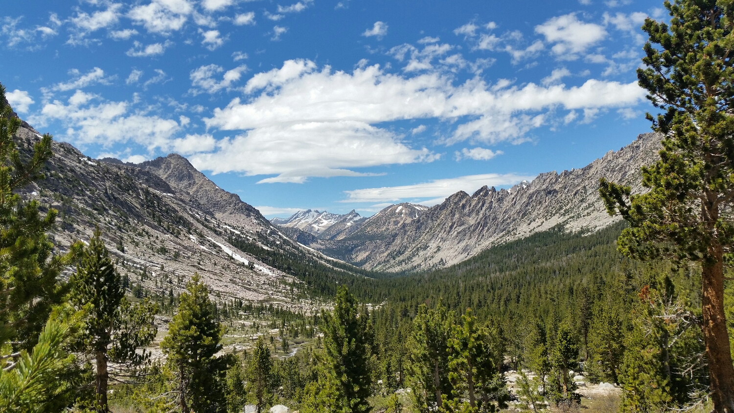
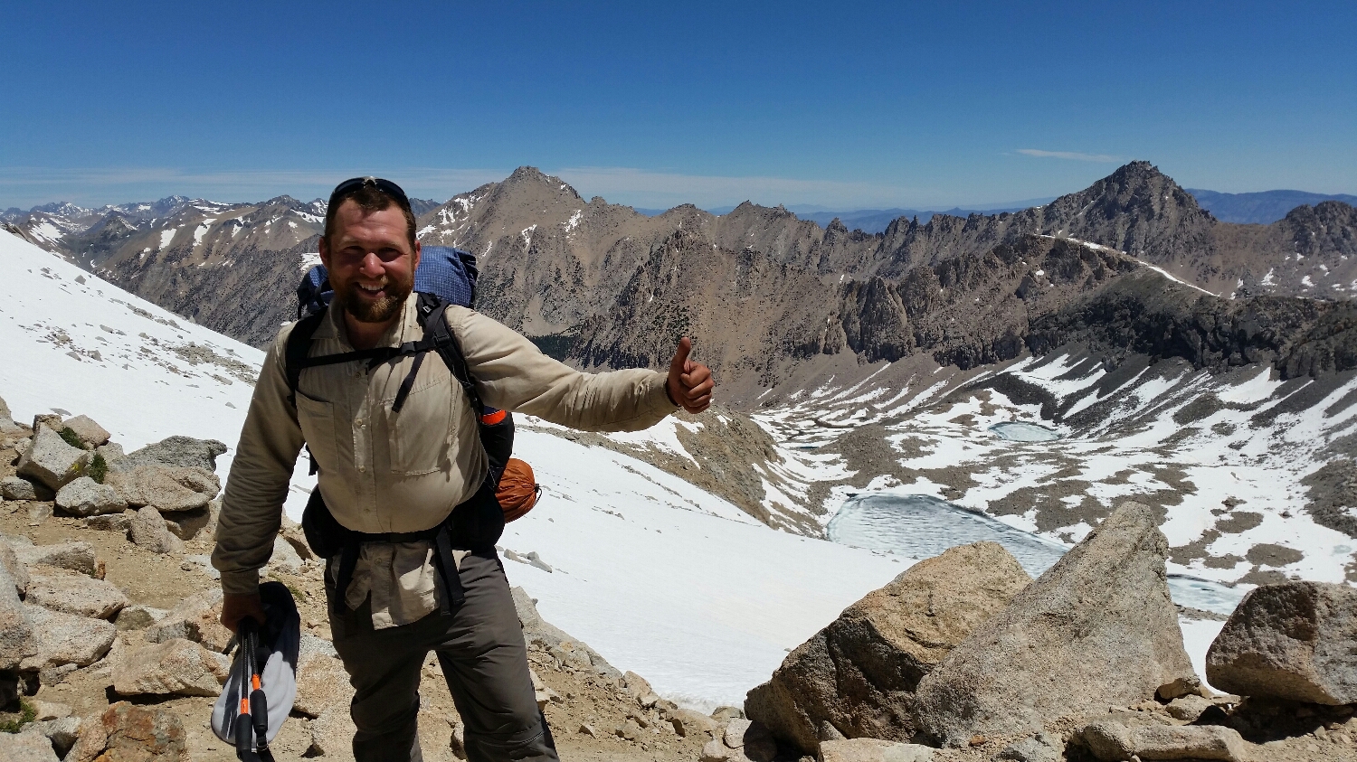
The next day was just as awesome as Mt. Whitney. We hiked 9 miles in the morning to Forester Pass which, at 13,200 feet, is the highest pass on the PCT. We could see the mountain range we had to cross from miles away. As we approached it, it just looked like a solid wall of snow and rock, the location of the pass was not identifiable. Normally a pass is in a saddle or other obvious low point in the ridgeline, but this one was not. As we got to the base of the climb we could see switchbacks in the snow fields lead up to a small exposed snow chute which turns out to be the pass. We climbed the switchbacks up to the pass and crossed the sketchy snow chute to the top of the pass. The top of the pass is the dividing line between Sequoia and Kings Canyon National Parks. Kings Canyon is applty named for the size, beauty and diversity of the upcoming mountains. After some celebrating we headed down the other side across some more snow fields. The views were epic and it felt like you are walking through a national geographic film. Every view was of grand mountains, waterfalls and beautiful streams. We decided to push on to our next resupply that night which required us to take a 7.5 mile side trail and climb another pass called Kearsage where we would try to hitch into town at a trail head. We made it to the hitching point by 8pm and got a ride into town. We were so hungry even Subway tasted good. We grabbed a six pack and walked to the local campground to sleep for the night. That day we did 25.4 miles and gained 5,605 feet and lost 7,097 feet.

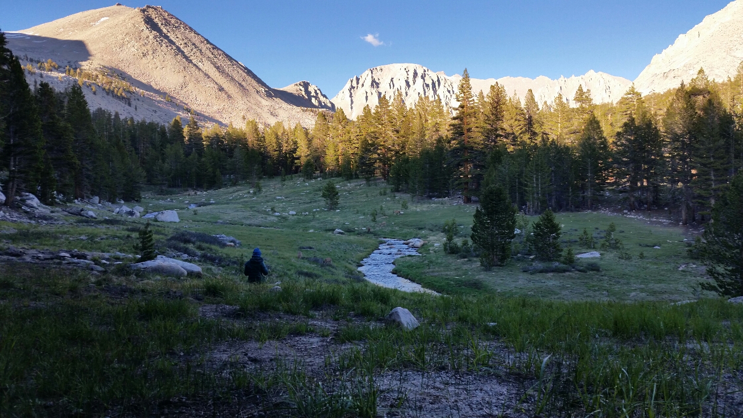
Gomez Meadow
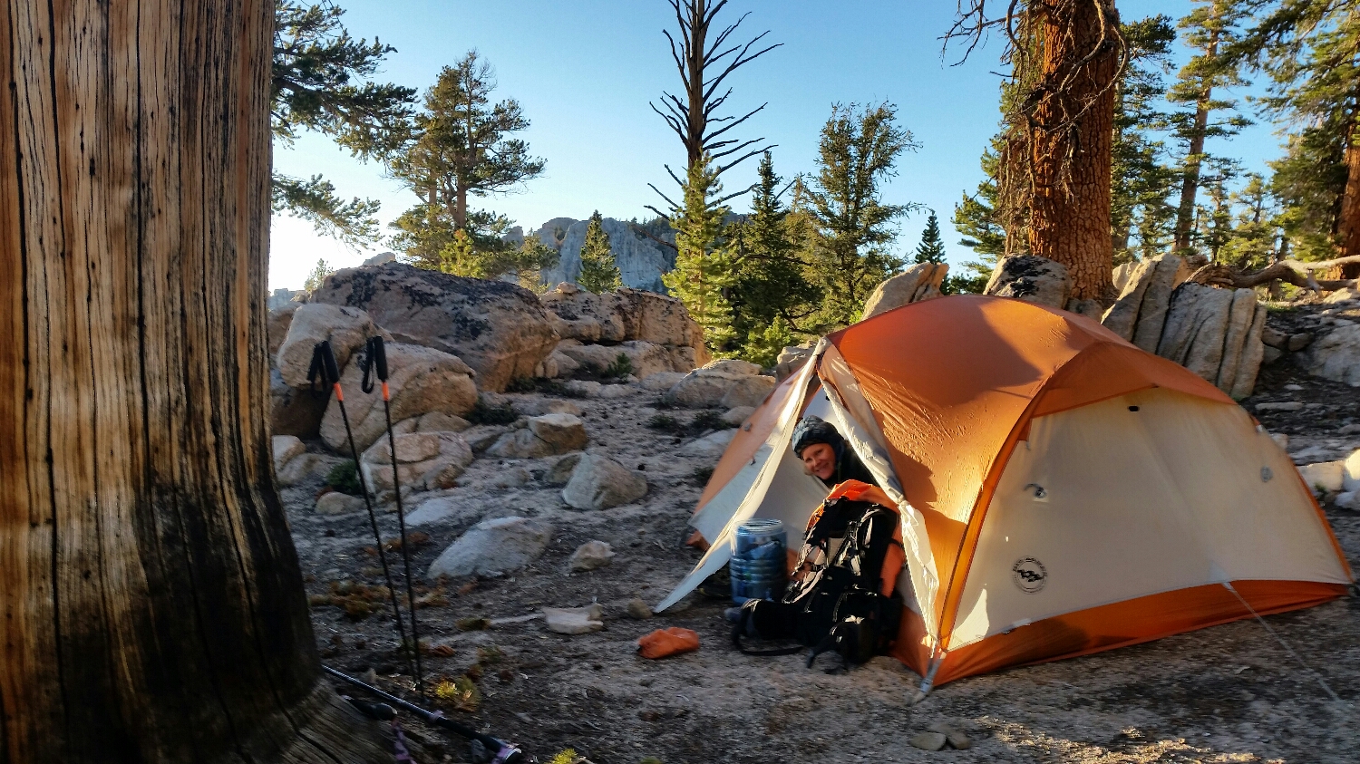
Not a bad campsite
Whitney in front of us, SketchPad painting
Going up Whitney in the mornimg
After sunrise going up Whitney
Light Show in the Sky
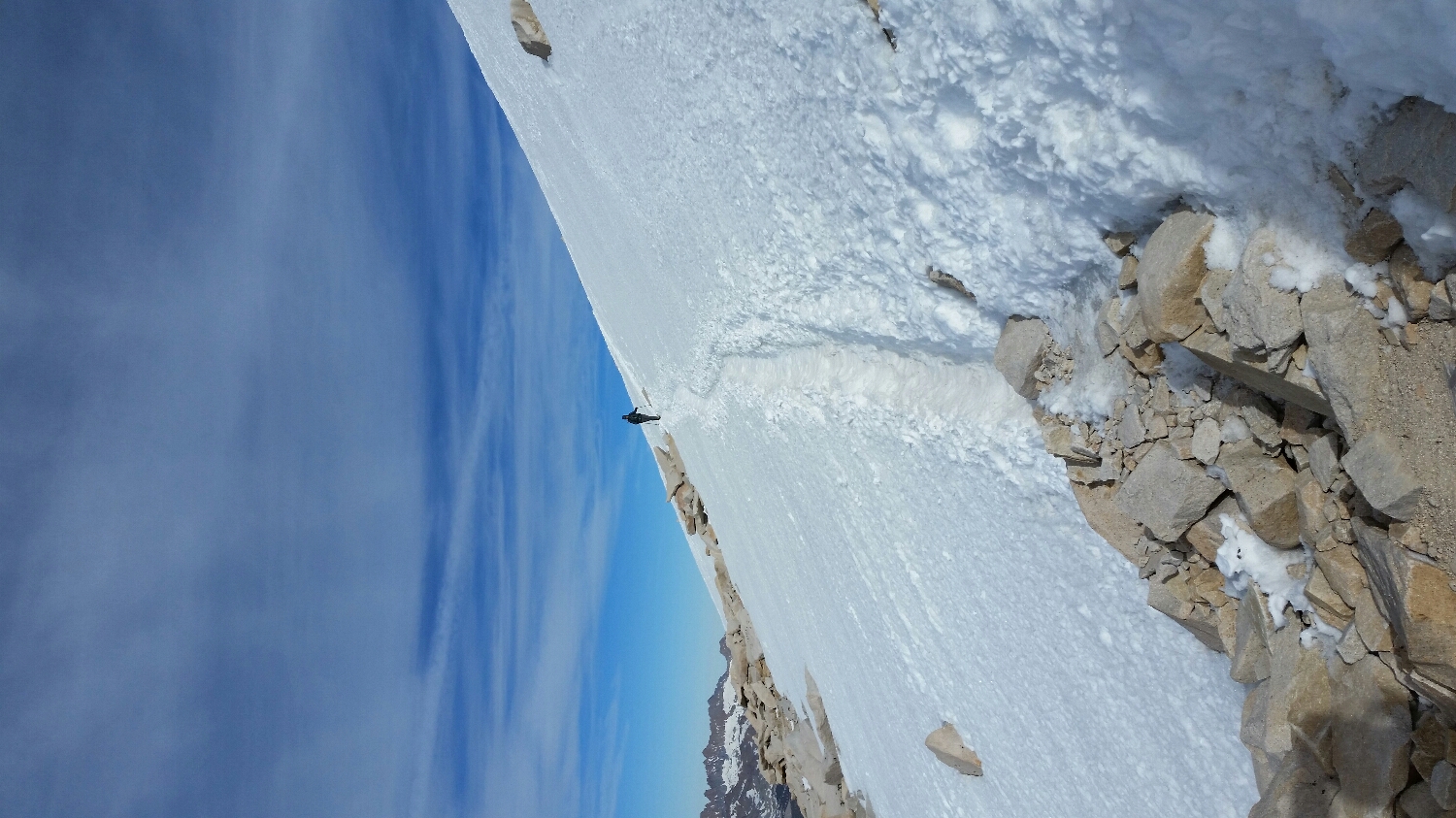
Crossing the snow field before the summit
Hey Guys
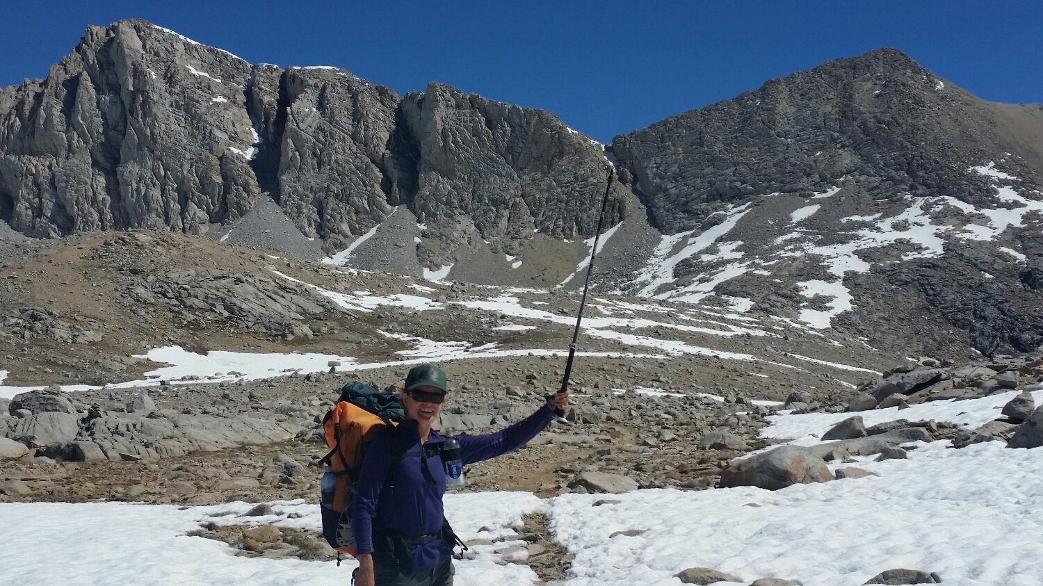
SketchPad pointing out Forester Pass
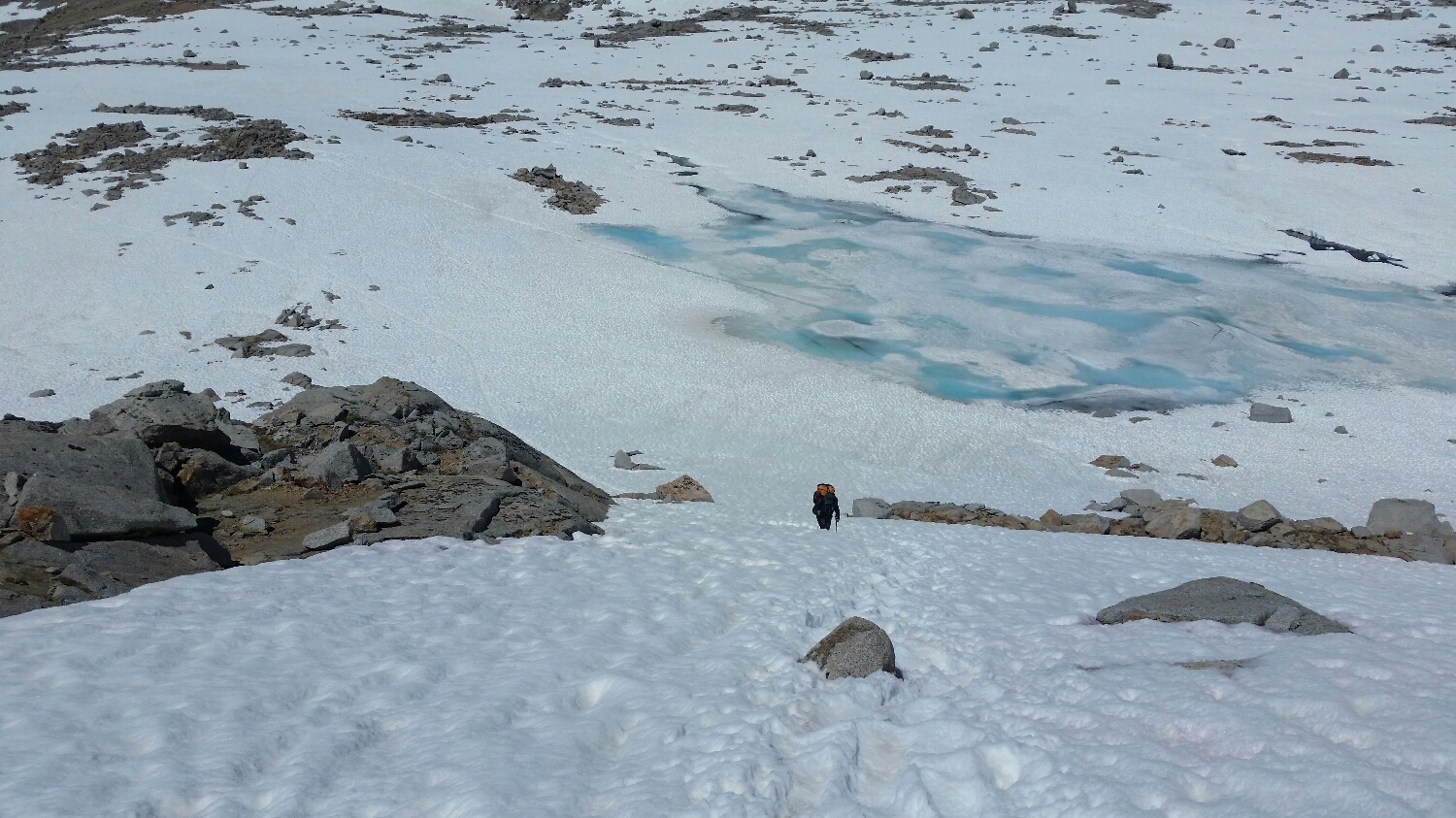
SketchPad Going up Forester Pass
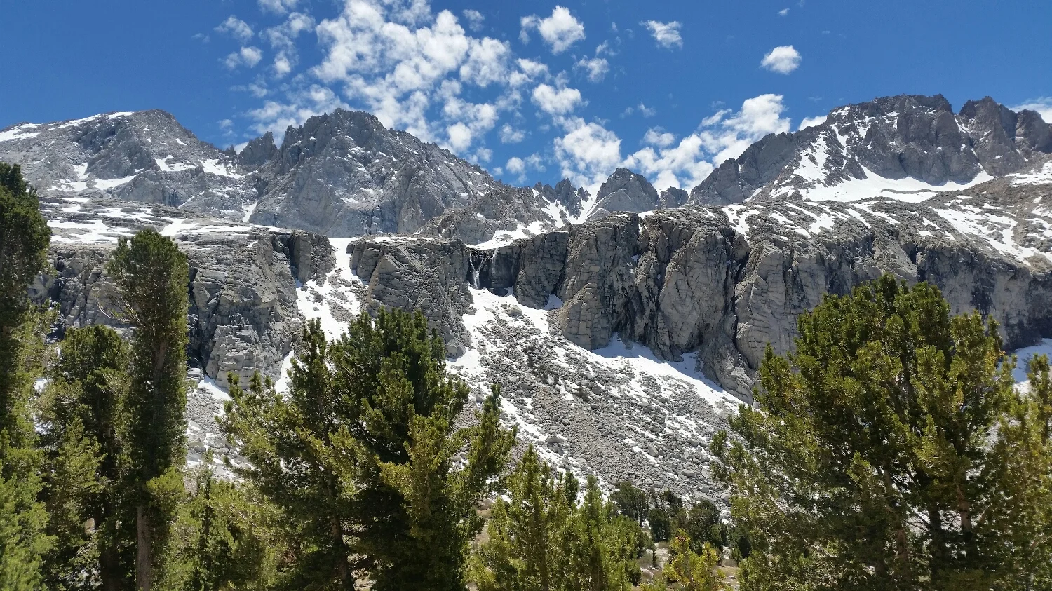
Kings Canyon does not disappoint
All is well on top of Forester