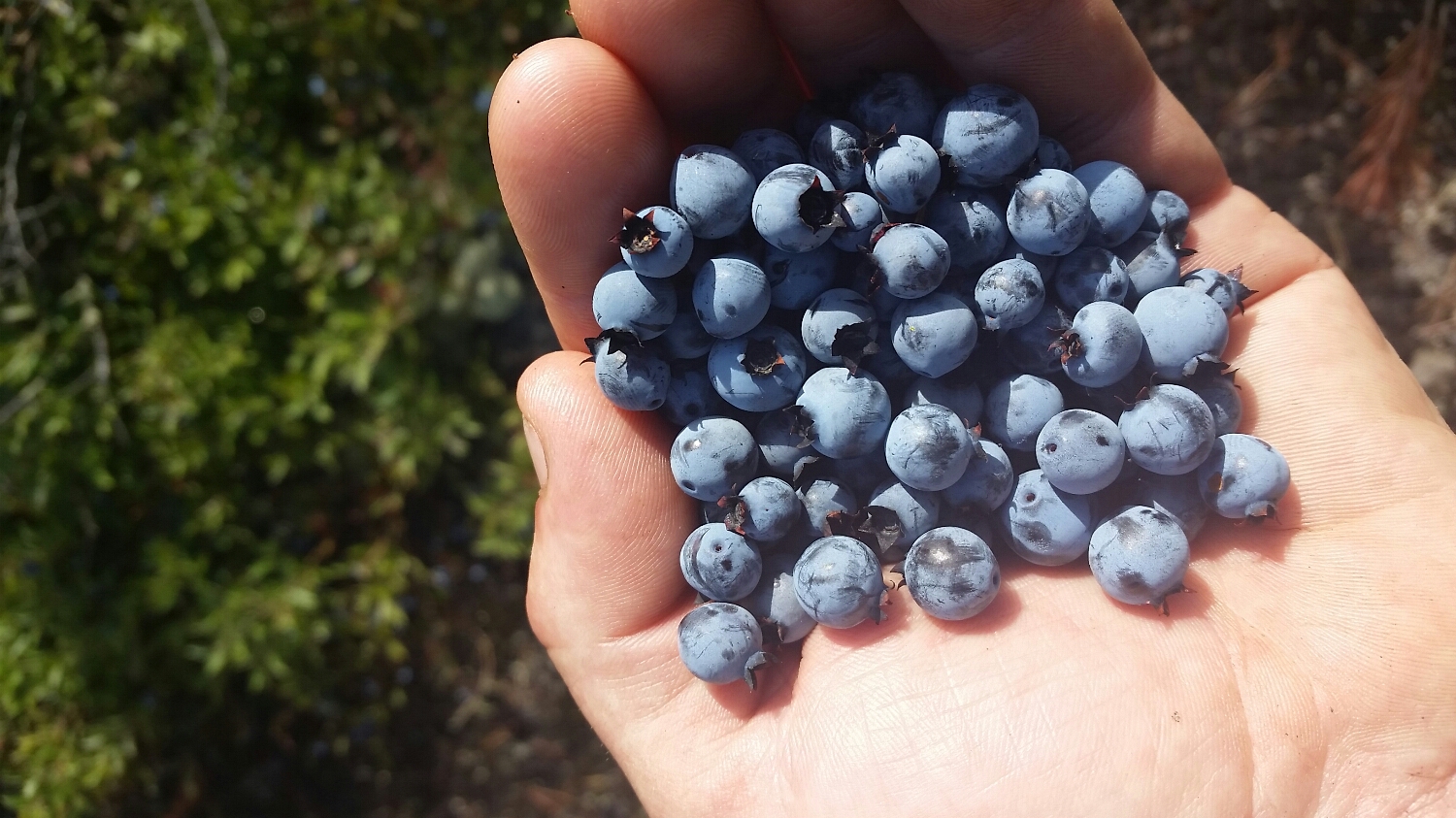
On 7/22 I did 14.3 miles to the middle of nowhere. On 7/23 I did 20.7 miles to Sought Arm Road. On 7/24 I did 17 miles to Sabbath Day Pond. On 7/25 I did 9.4 miles to Rangeley, ME and resupplied. On 7/26 I did 10.7 miles to poplar ridge. On 7/27 I did 13.1 miles to South Branch Carabasset River. On 7/28 I did 16.5 miles to Avery Memorial Campsite. On 7/29 I did 14.9 miles to West Carry Pond. On 7/30 I did 14 miles to Carataunk, ME (there is nothing there but a bar, and I gave them a lot of my money). On 7/31 I did 22.7 miles to Bald Mountain Road. On 8/1 I did 14 miles to Monson, ME and resupplied. On 8/2 I did 15.1 miles to Long Pond Stream. On 8/3 I did 20.8 miles Carl Newhall Lean to. On 8/5 miles I did 21.5 miles to Wadleigh Stream. On 8/6 I did 19.6 miles to Hurd Brook Lean to. On 8/7 I did 13.4 miles to the birches at the base of Katahdin. On 8/8 I did 5.2 miles to the summit of Katahdin and never felt more confused in my life.
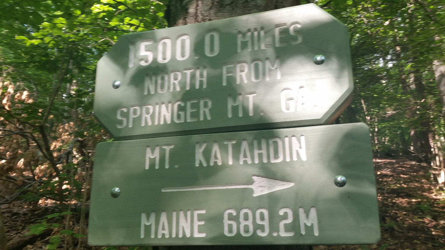
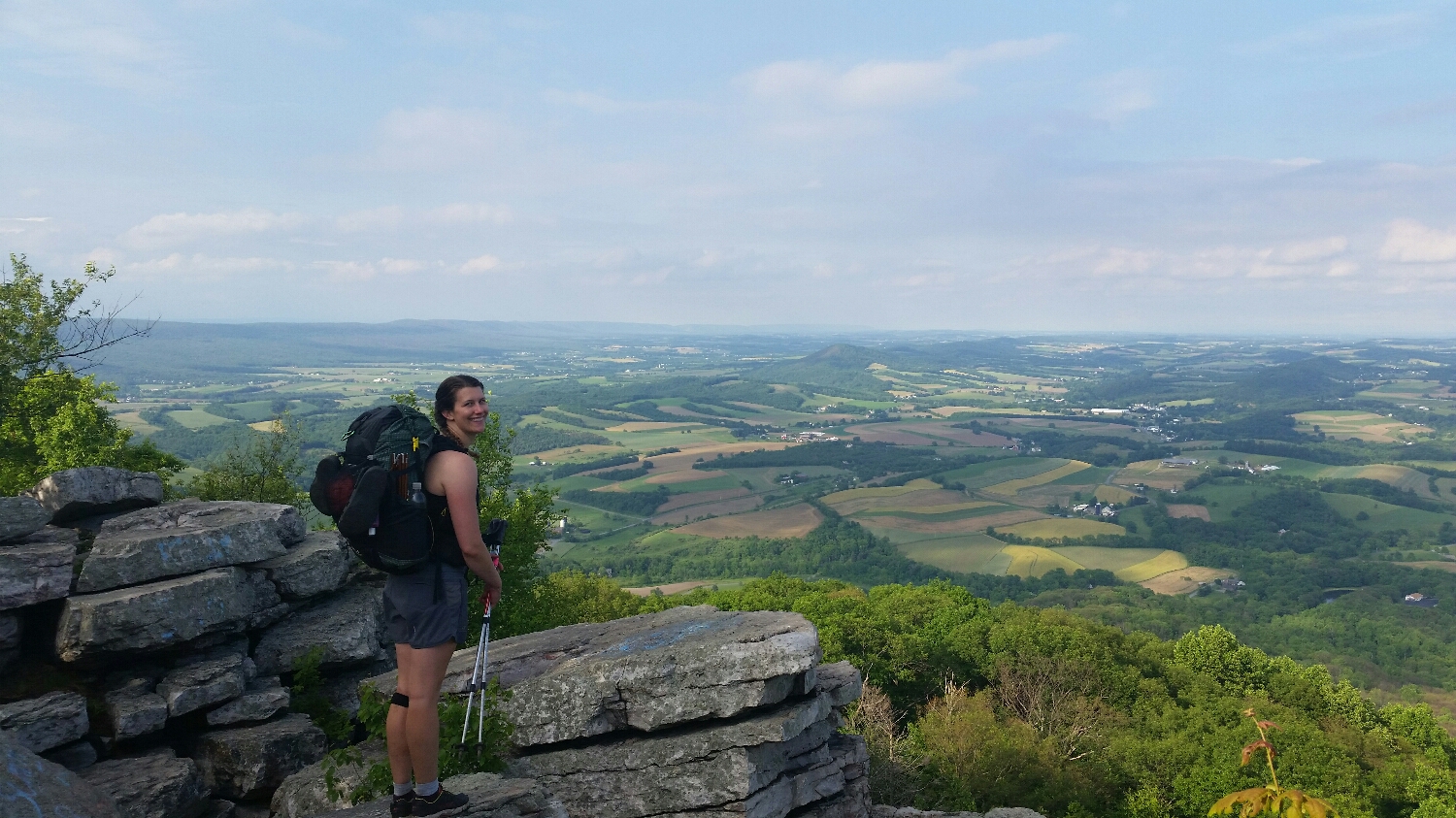
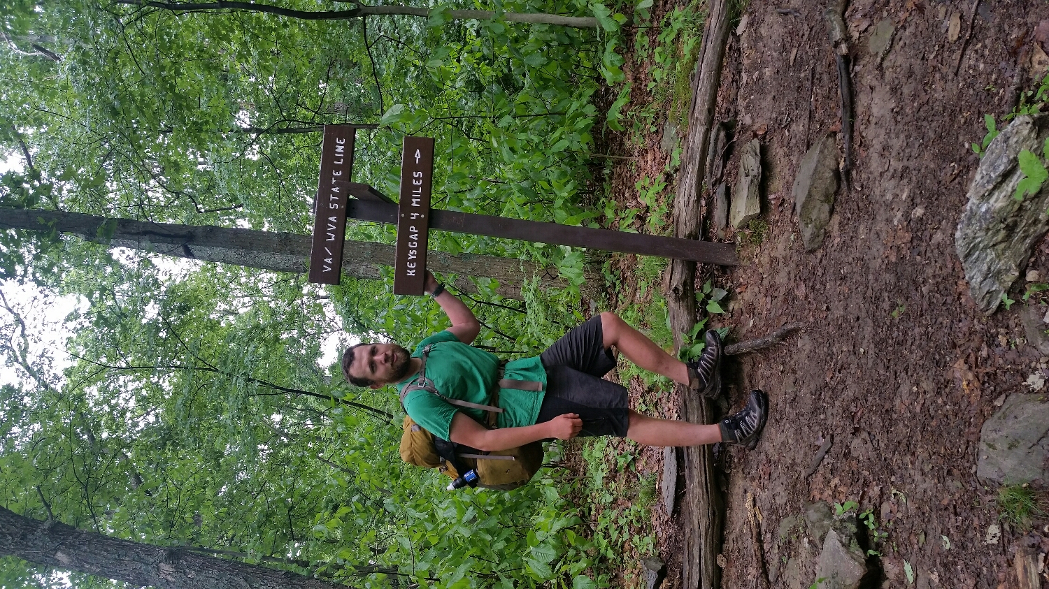
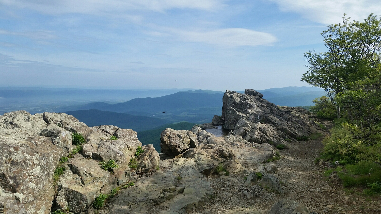
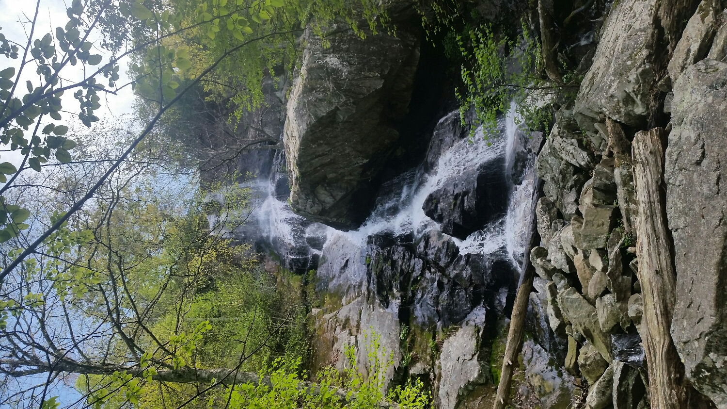
So I broke into Maine, just 281.8 miles to Katahdin...just my ass! Talking to previous through hikers they all said to slow down in Maine because it is the most beautiful state and you will want to keep pushing yourself and miss the best part of the trail. I think they were looking back on the hike with fond memories because there is no way you can do Maine too fast. The first two days in Maine I did not even use trekking poles because I was scrambling up and down rock faces all day long. The idea that the White Mountains were hard and the most epic part of the trip was a lie, don't get me wrong, they were hard, majestic and so much fun, but thru hikers were talking about the White Mountains back in Georgia, no one ever talked about Maine but they should have. In fact if I died on the trail the number one suspect in my death should be the state of Maine. While Maine was a kick in the teeth, there was nothing that was going to stop me. I had walked over 2000 miles and nothing was going to stop me; cut my leg off for all I care, I was going to complete this journey with my pack on my back and a smile on my face, even if it was a forced smile. About 10 miles into Maine is Mahoosuc Notch, which really separates hikers into two groups, it is either the most fun mile and a half or the hardest mile and a half of the trail. The notch is a geological phenomenon, go ahead and google it, because there will be much better pictures of the notch and a more accurate description of what it is than I can provide. What I can say is that it is a giant playground for hikers (I am in the first group of hikers). It is a long boulder field in the heart of two 300' rock faces that provides an arena for some intense hiking parkour. It was getting late in the day when I got Mahoosuc's Notch and met two South Bounders, they said it took them 3 hours to get through the Notch, I was looking at the light and wondered if I could get through it before dark, they then mentioned they met a North Bounder who did it in 30 minutes, I asked them for the hikers name, but they didn't know his name but by the description they gave me it was definitely Bilagio. I took it as a challenge and started my timer, I was jumping over crevasses, climbing through tunnels, hanging off of trees, climbing boulders and jumping onto precarious rock faces, I made it to the other side in 45 minutes (i have no idea how he did it in 30 minutes) it was so much fun. I wanted to catch up with my friends the Struggle Bus (Uphill, Sugar Magnolia, Crafty, Six Strings and Wookie) but if I didn't have people to meet up with, I might have gone back through it again.... what a rush!
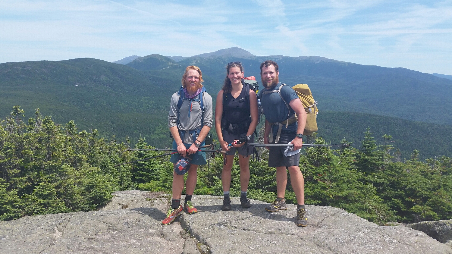
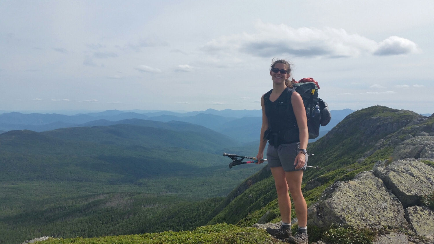
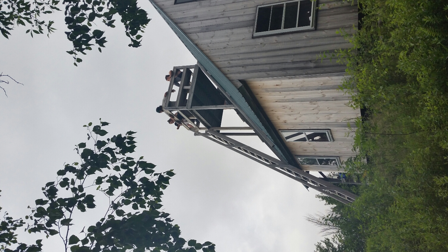
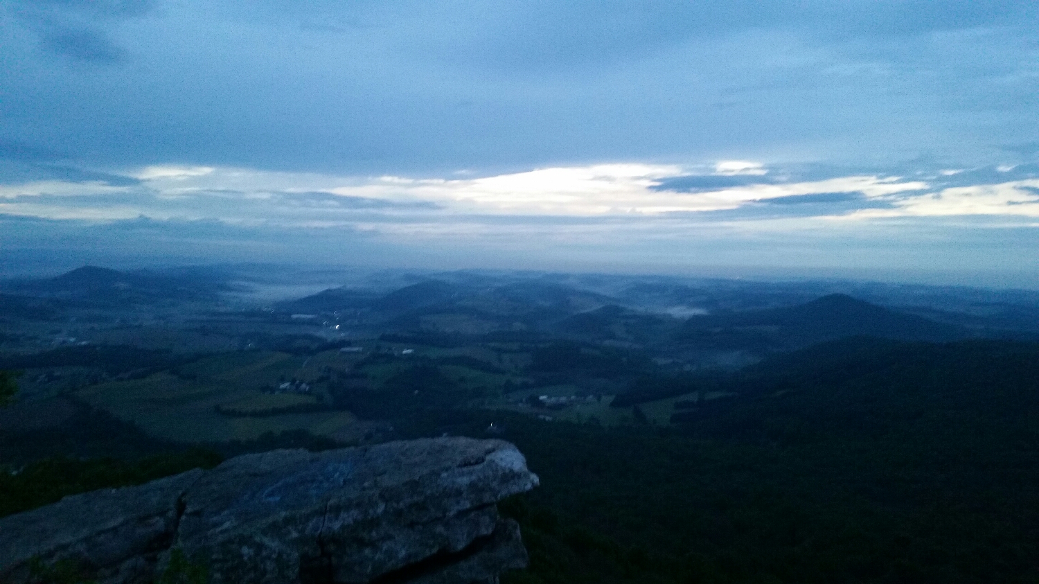
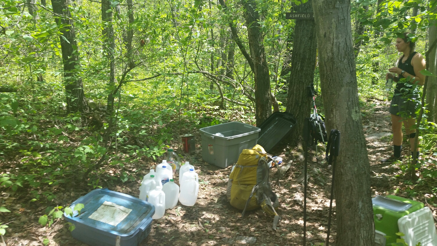
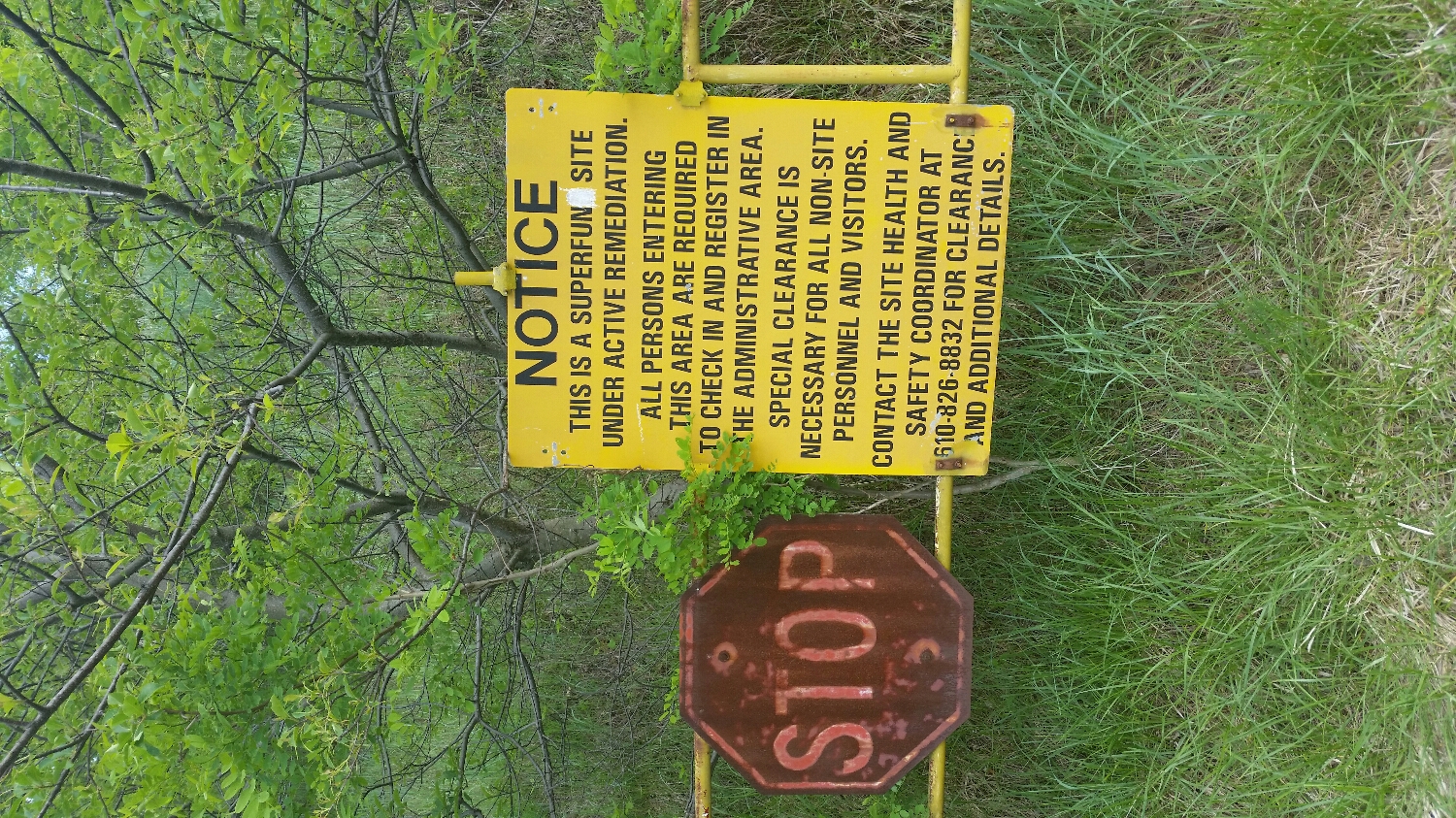
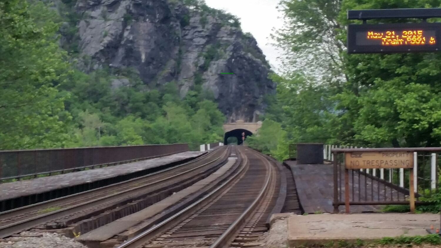
I thought the Struggle Bus was a half a day ahead of me, but I met up with them 2 miles after Mahoosuc's. They had a dog with them and it took them close to four hours to get through it. From talking to them, Uphill basically had to carry the dog through the Notch. So I don't think they had as much fun as I did. We hiked together until we hit Rangeley, ME where we resupplied. I met up with Frizzle in town and we calorie loaded at a few bars before the second to last section of the trail. The day out of Rangeley was miserable with cold wet rain, so much so, the Struggle Bus and Frizzle took a zero. I decided to hike on (had I known it was the last time I would have seen Frizzle I would have said a much more meaningful good bye, instead of see you down the trail.) I ended up hiking with Walking Man and GQ, whom I spent the night with at the fraternity in Hanover. I made it to the Kennebec River outside of Caratunk and had to take the local Canoe Ferry across the river. Back when the AT was first conceived there was a full time ferry at the Kennebec crossing which catered to the logging and fishing community, when those industries slowed down you could still get across on a ferry, but had to make arrangements days in advance and wait for the ferry. Since the logistics of the ferry caused delays a lot of hikers would try to ford the river by-themselves and multiple people have died doing this, so the ATC staffs a full time canoe operator on the Kennebec during the hiking season. On the other side of the Kennebec is a very small town called Caratunk, which doesn't have much, but it does have a brewpub. I ended up spending the night at the brewpub and hiked a very hungover 22.7 miles the next day. The Struggle Bus passed me while I was at the bar, but I caught up with them outside of Monson and walked into town with them. Monson, ME is the last stop before Katahdin. I resupplied in town and picked up a pair of shoes I had sent to myself, the only problem was the shoes were too small, but my old shoes looked like they had gone through a tree shredder... this would prove to be a problem. I hiked out the next day with the Struggle Bus and started the 100 mile wilderness. There is an ominous sign at the start of the wilderness warning hikers they need at least 10 days of food on them, as there are no towns between here and Katahdin. While Maine is the hardest state and the next 100 miles were extremely tough, I think 10 days of food was a little much. I hiked the first and second day with the Struggle Bus over some beautiful land. The peaks in the 100 mile wilderness might not be highest, or the steepest but the summits were epic; the realization the journey was coming to an end was constantly discussed, but I tried to stay present and enjoy the landscapes that I am most likely never to see again. The Struggle Bus was wanting to put in big miles in the last stretch of the trail, I wasn't so inclined as I had no deadline and I was switching pairs of shoes every 2-3 miles to keep my feet from bleeding too much. I said my goodbyes to them and hiked the rest of the trail on my own. I did run in to Walkingman and GQ a couple of times along the last stretch but for the most part had the last 60 miles to myself.
I have accomplished a lot, but with that being said I cannot actually tell you what I accomplished. I know I set out on the trail with goals in mind, but I cannot remember them now, nor do they matter. I am going to finish this trail and make it to Katahdin because I am a prideful and stubborn person, but whether or not I made it to Katahdin doesn't really matter. I guess in a bar I can tell everyone I walked the entire trail and people will be amazed by the mileage I did and tell me how awesome it was and they cannot believe I did it etc. etc.; but we all know that doesn't matter, what really matter is the changes to my outlook on life, my self-awareness, and my new priorities on the much larger journey, which were all changed 100's if not a 1000 miles ago. Right now I feel like I am dotting the "T" and crossing the "I". I really cannot sum up everything I learned, I know I will look back on this hike and see it as a turning point in my life even though I cannot articulate exactly how it is going to affect me in the future I would like to share with you two sayings I came up with on the trail (I figure a 1000's miles per saying is a good quota).
If you want to be happy in life you need to do three things
Be Simple Be Kind Be Strong
With Regards to Taking Risk
Throw yourself to the mercy of chance, be humble until you become proficient, and then live as if you knew no other way
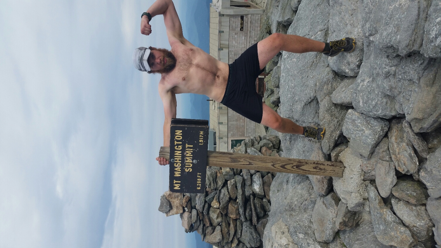
I made it to the base of Katahdin on 8/7, there is a registry at the base and I saw Struggle Bus was summiting that day as well as Unhinged and Everyready who I hadn't see since Unionville, NY. I waited at the base of the Mountain all day and congratulated the thru hikers as they came off the mountain, it was surreal to see them, they were done with the hike, they were joyous and reserved at the same time. I didn't really know what to say to them, there were just a lot of hugs and long stretches of silence. Their hike was over and they were ready to hitch out of the state park and onto whatever else life had in-store for them. I slept at the base of the mountain and got up at 5:00a to start the climb. It was a really fun climb with huge boulders to scramble over and ledges to shimmy across, physically it was a fitting mountain to end on. It took me three and a half hours to get to the top, but I don't remember even climbing up it. Since I got an early start, I was the only one on the mountain. It was an odd feeling getting to the top; it was a lot like a funeral (yeah I know this sounds pretty intense, but to be honest it’s what it felt like for me). You know before you go to the funeral the person is already dead and there is nothing you can do about it, but it is not until you see the casket, or the summit that you really are overcome with emotion. I was lucky enough to have the summit to myself for 45 minutes. I just sat and stared at the summit sign. I think I cursed at it and hugged it a few times. After 45 minutes another couple came up the mountain, I figured I should get them to take my quintessential summit picture on top of the sign with my arms raised high. I took the picture since it was tradition, but I certainly did not feel like I conquered anything. It did not feel good to be done. I started my walk down the mountain, by this time there were large numbers of people coming up Katahdin to enjoy themselves on a beautiful Saturday morning. I didn't say a word to anyone as I went down, but I must have had a look on my face (or maybe I just looked like I was living in the woods for the past four and a half months) and a random day hiker approached me and gave me pat on back, he congratulated me and said "welcome to the next hike, the path might look different but the principles are the same", and with that I walked off of Katahdin
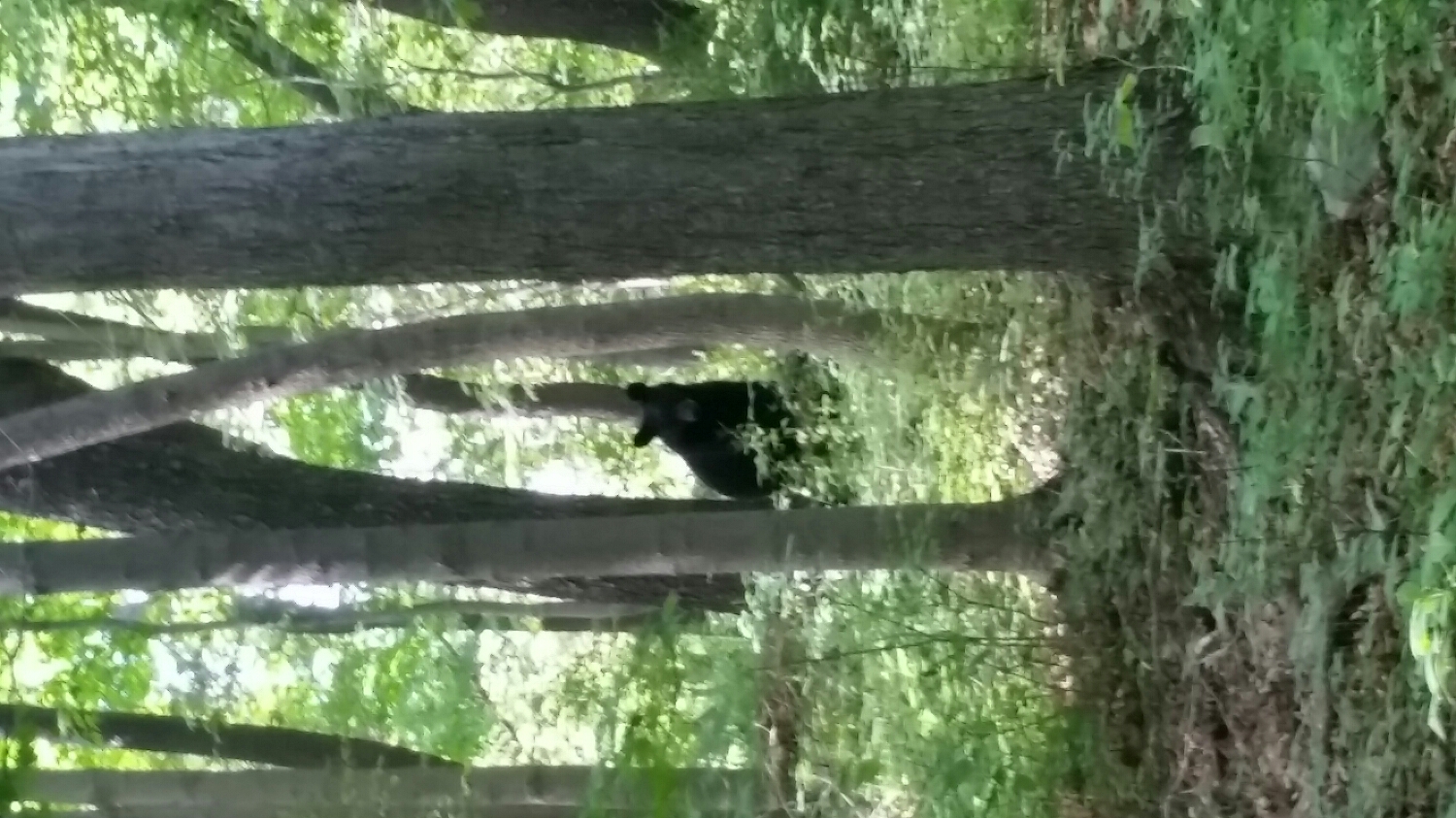
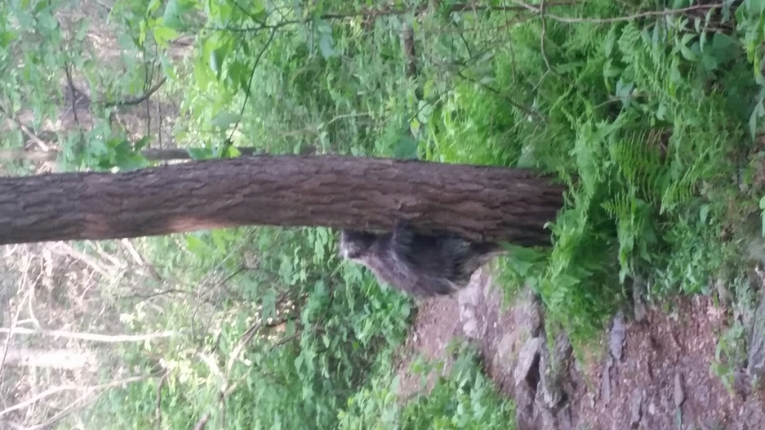
Samson-The-Bear.
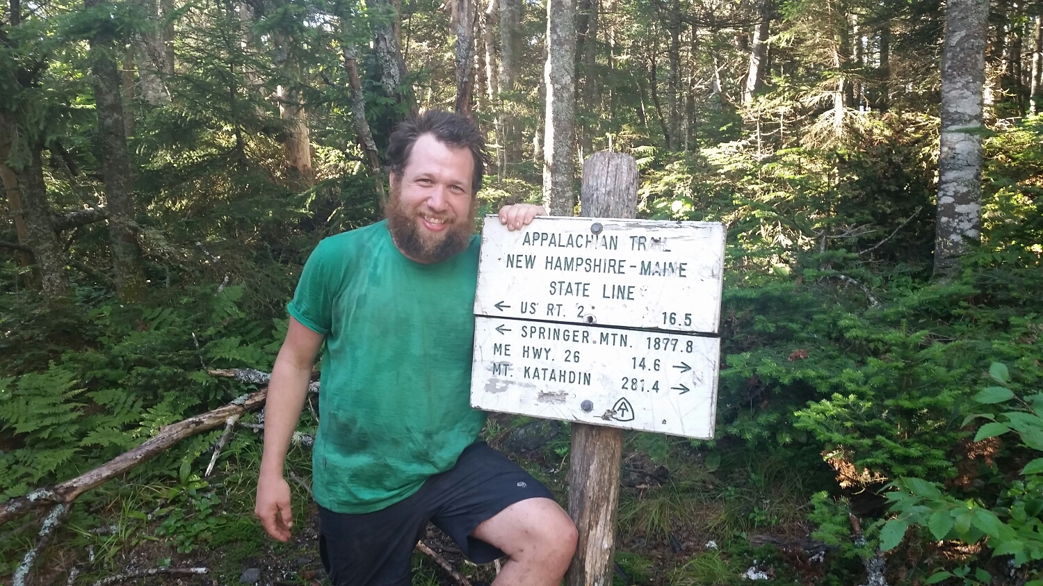
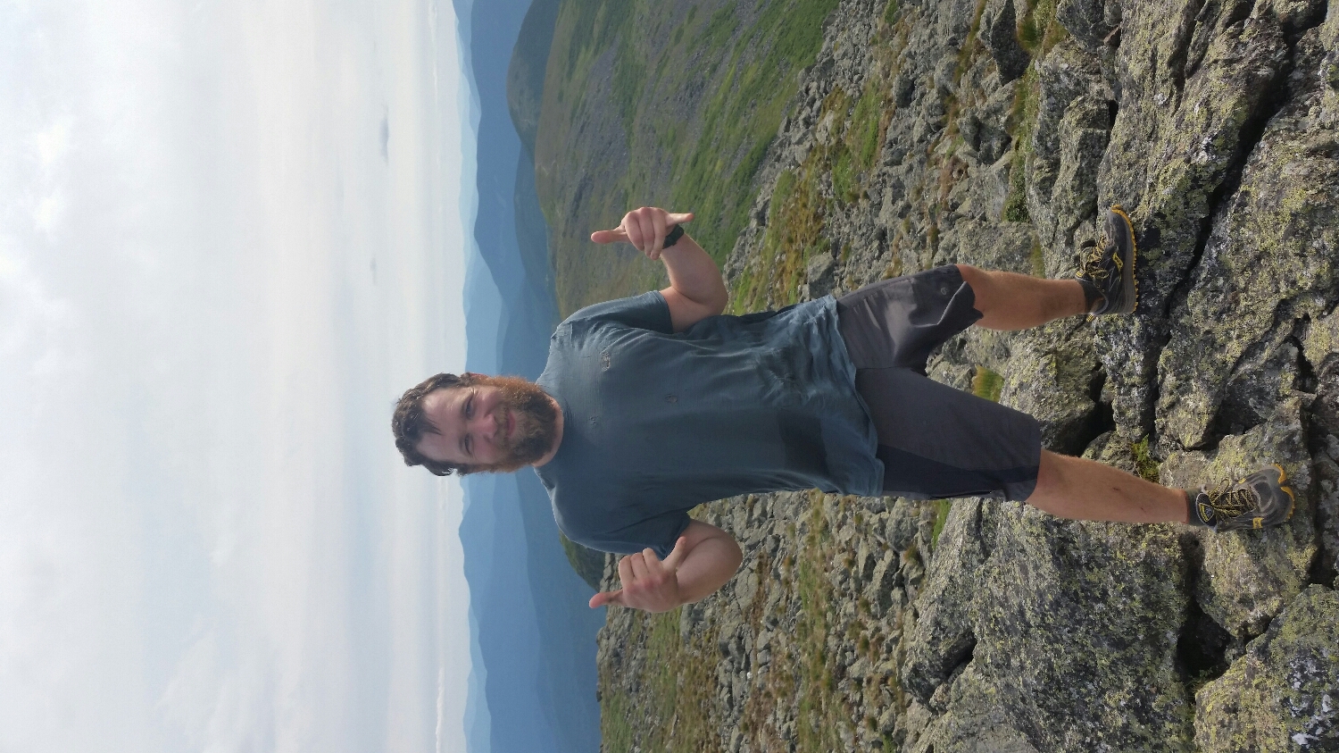
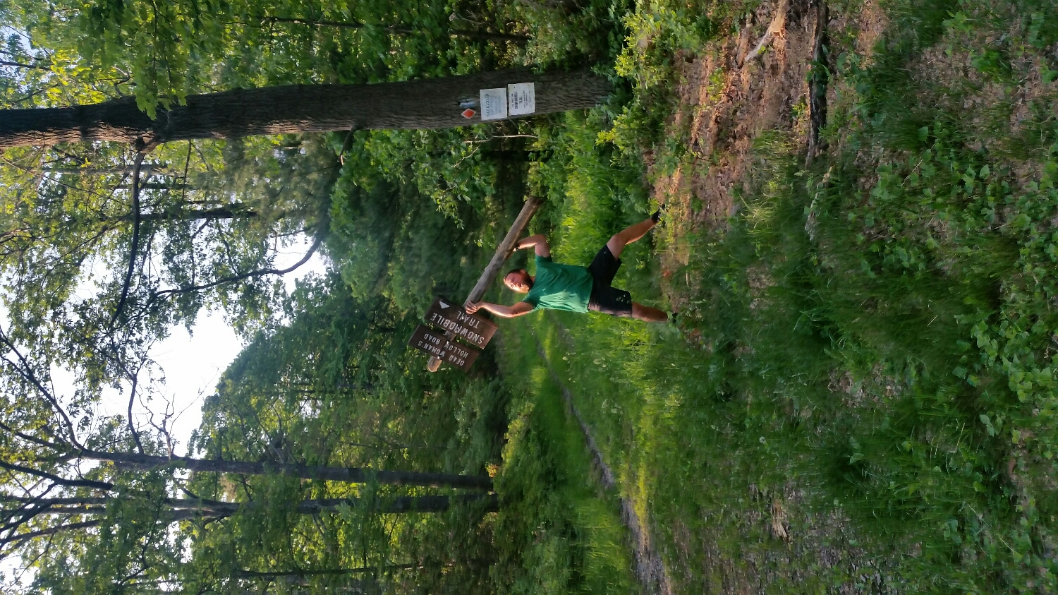
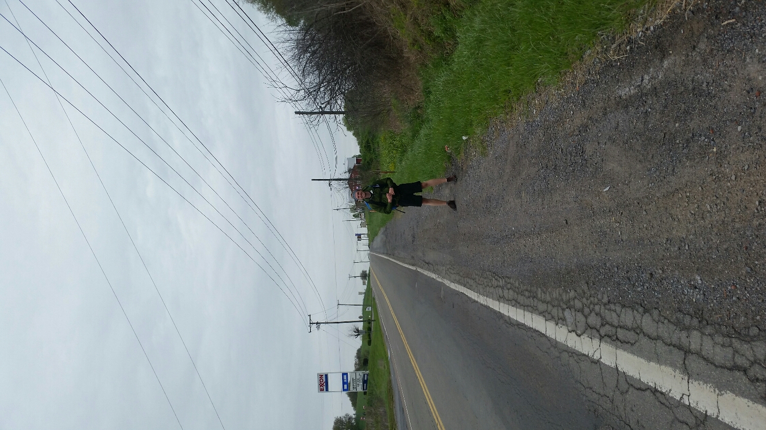
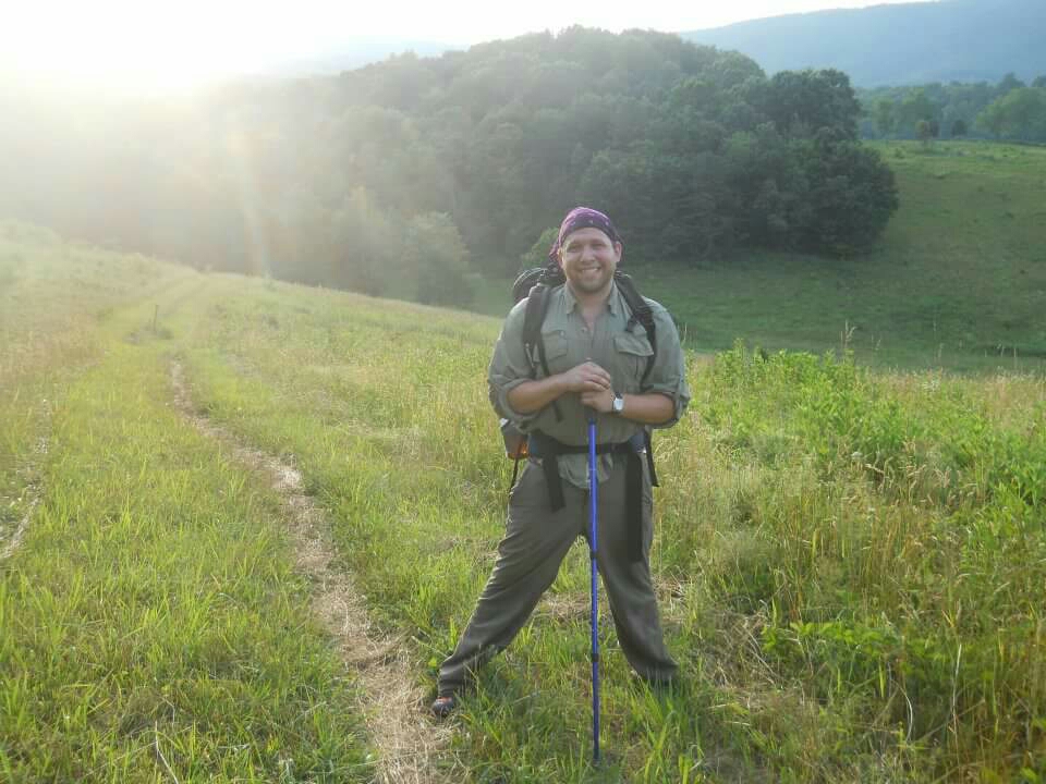
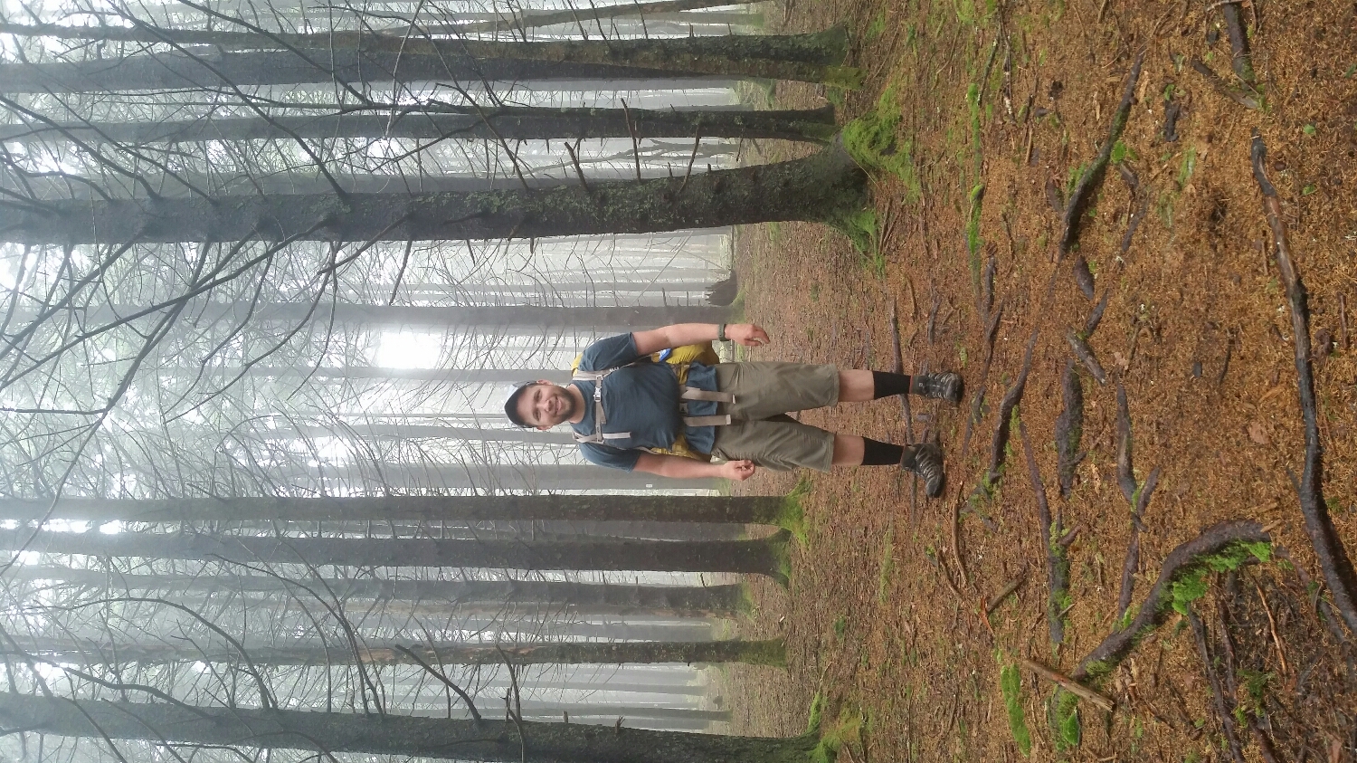
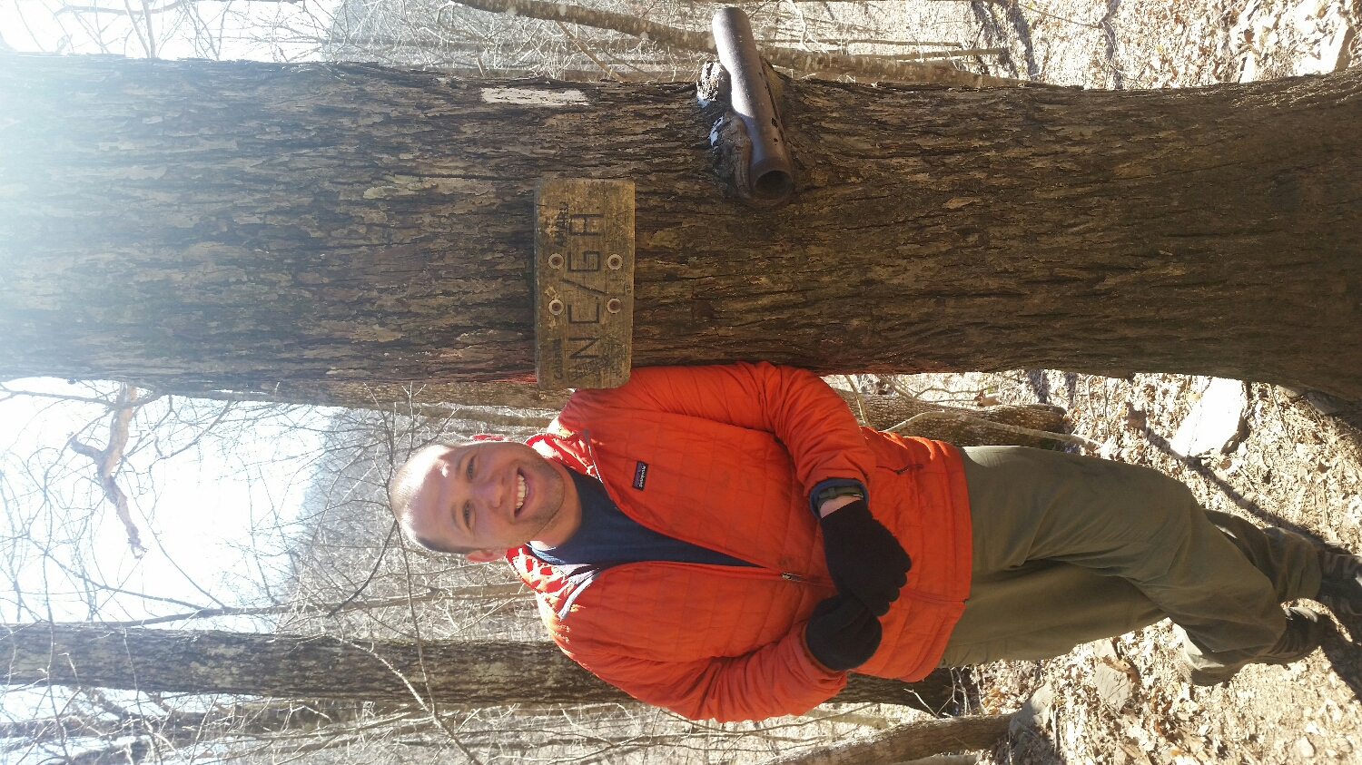
I feel how I look
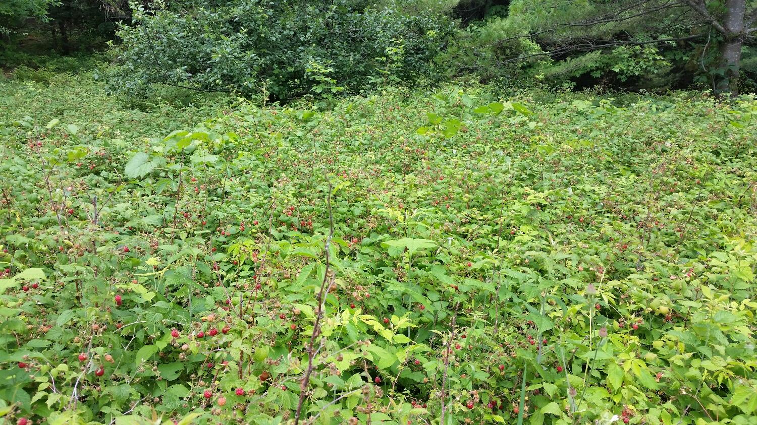
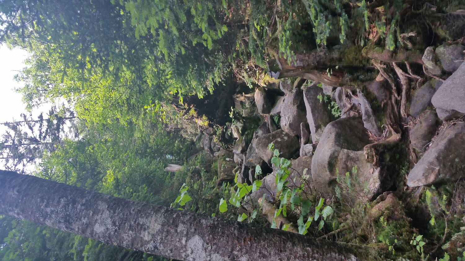
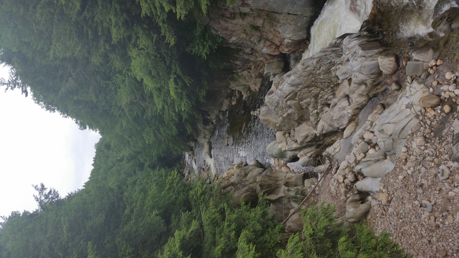
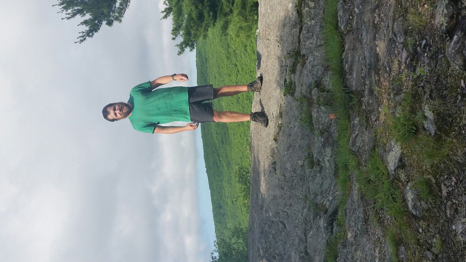
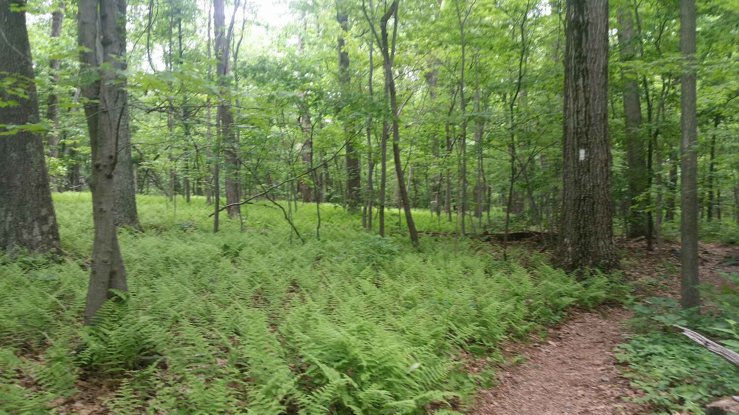
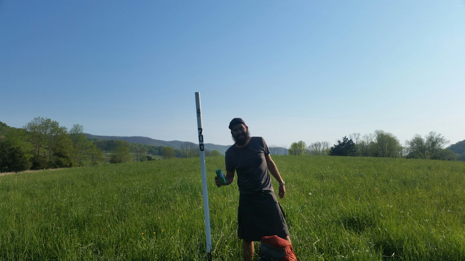
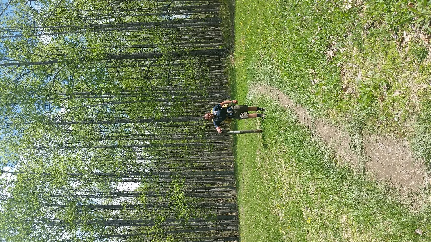
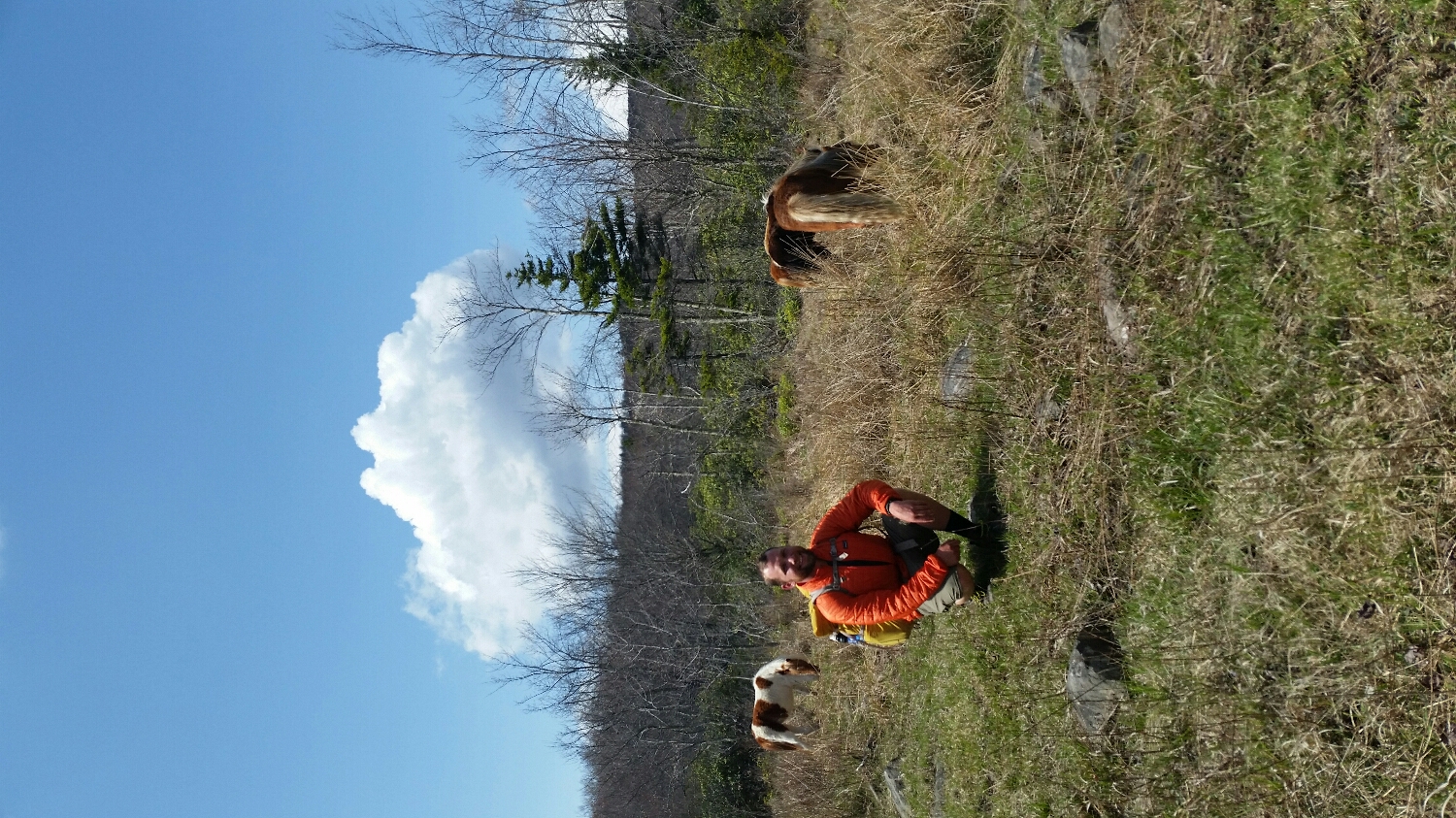
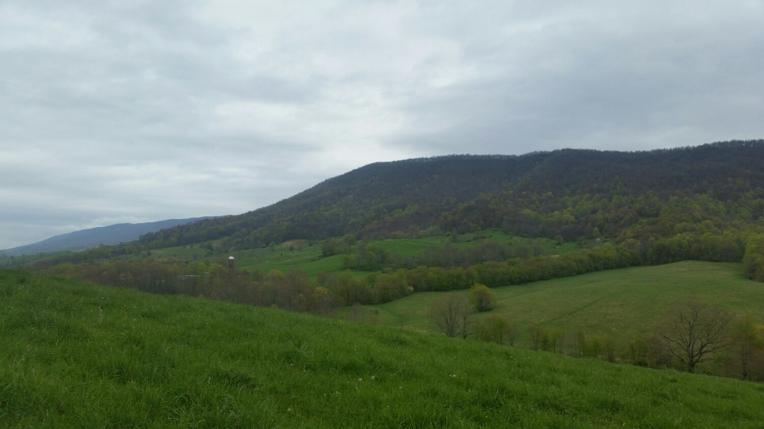
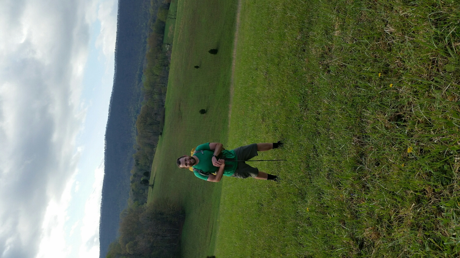
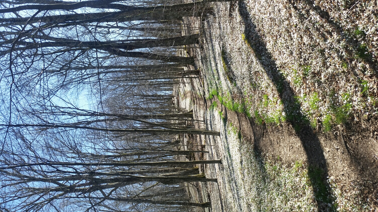
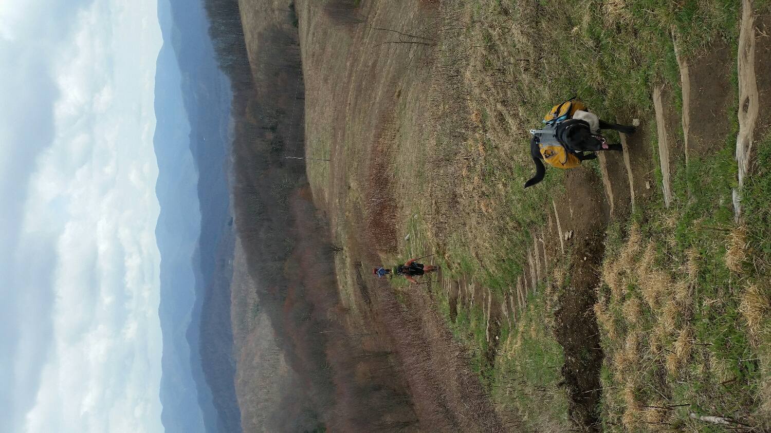
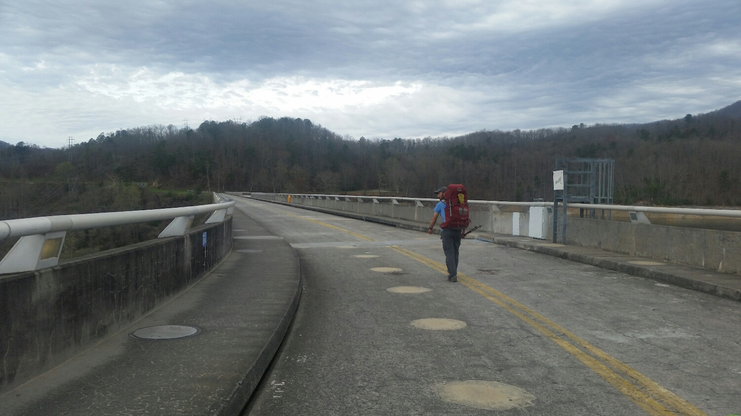
One of the flatter parts of Maine
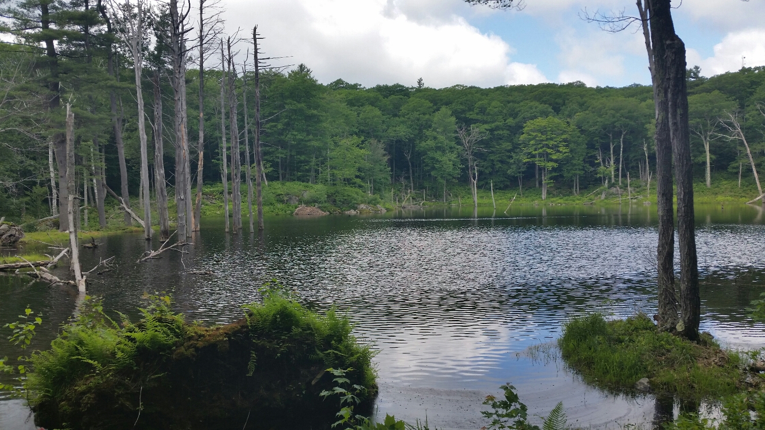
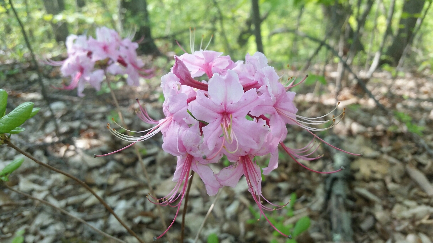
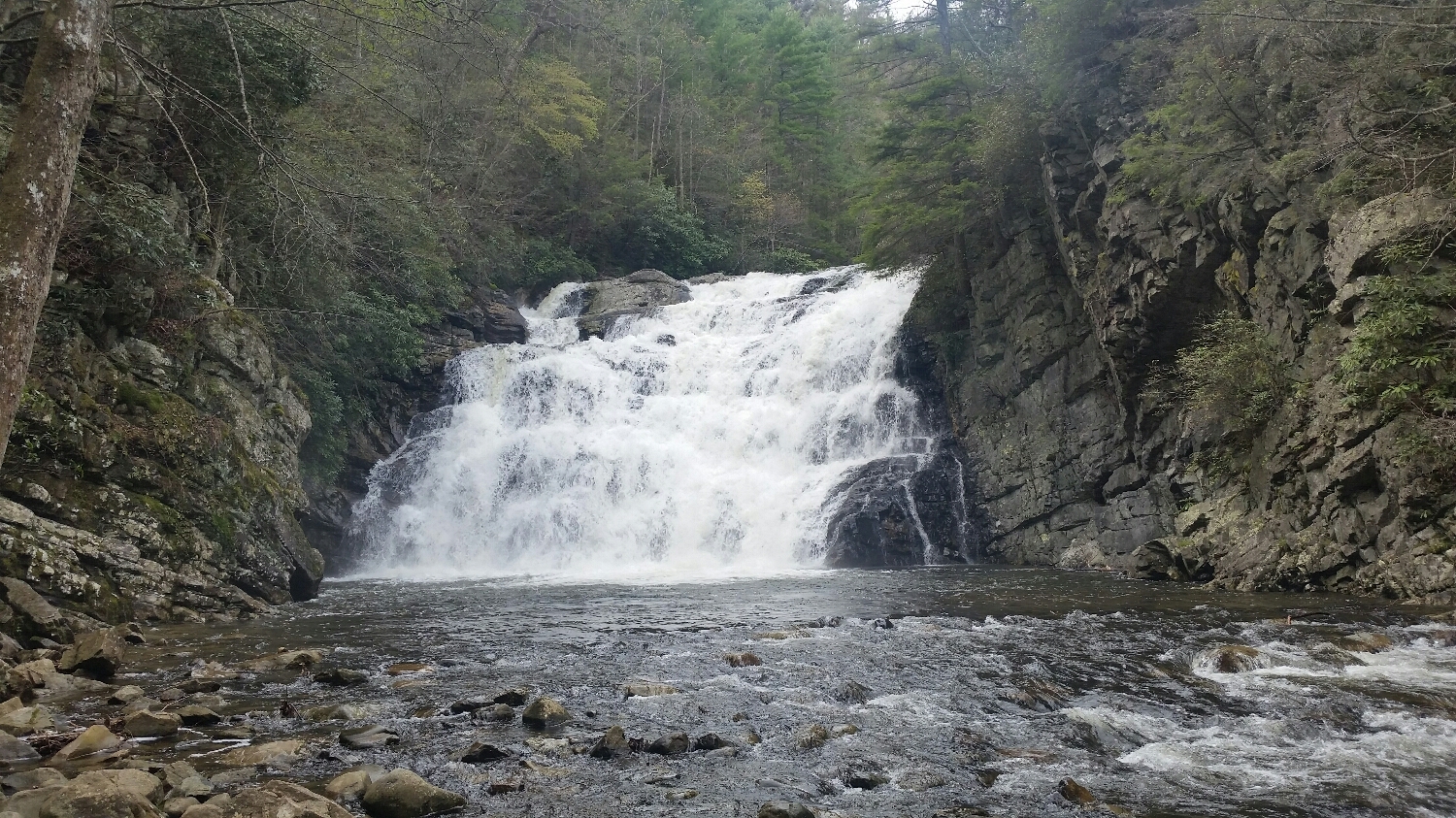
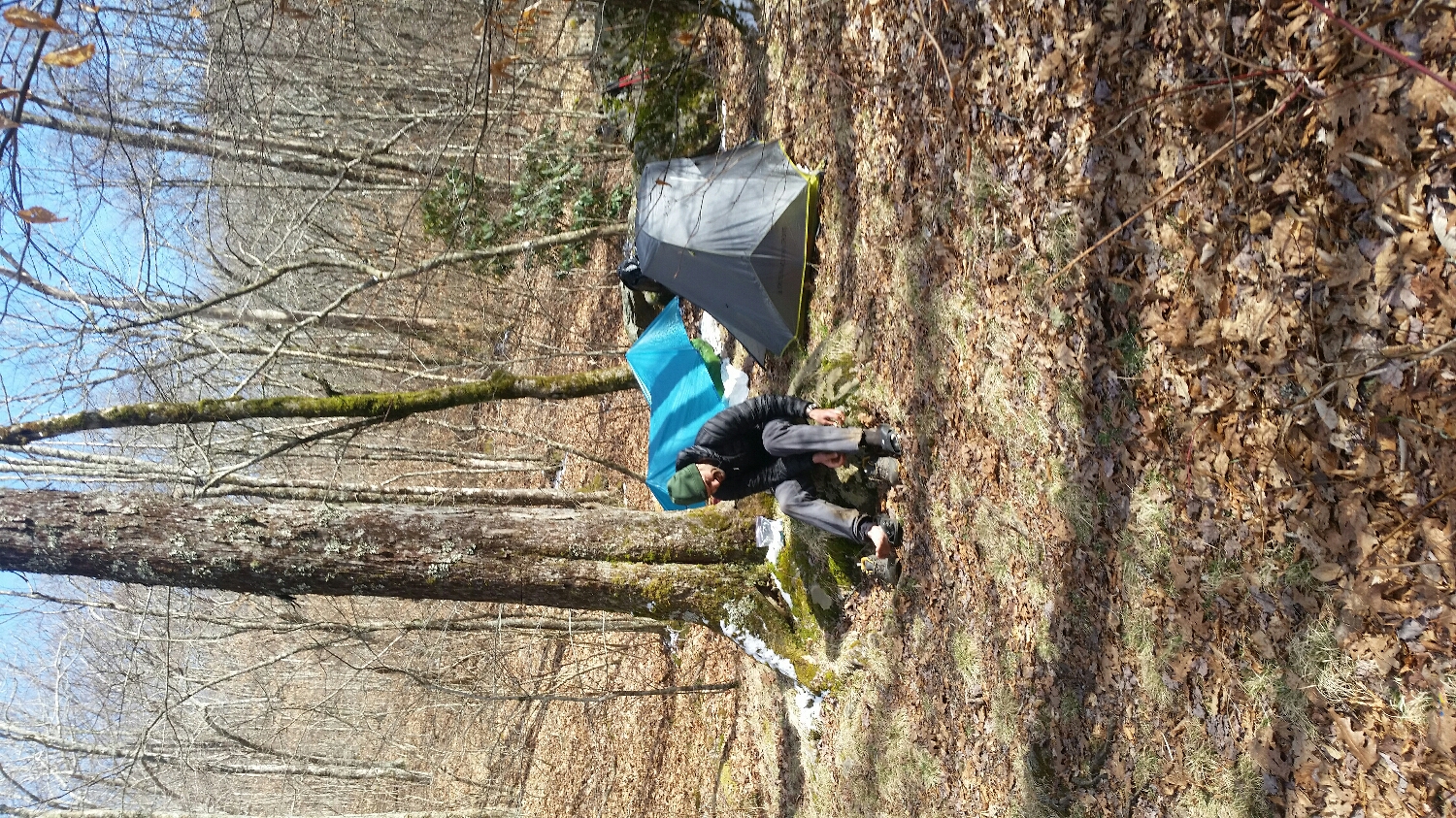
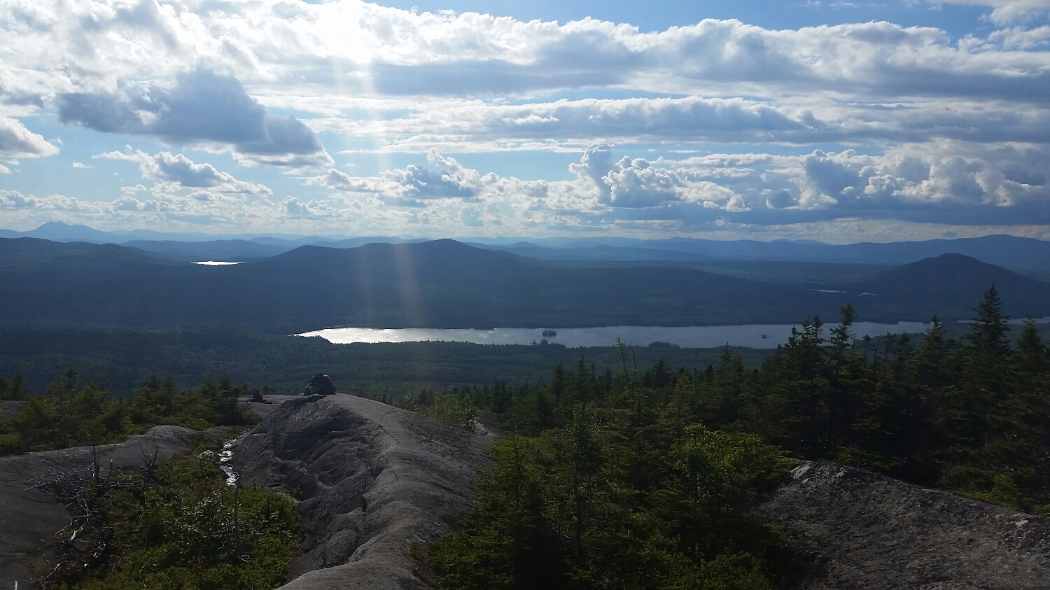
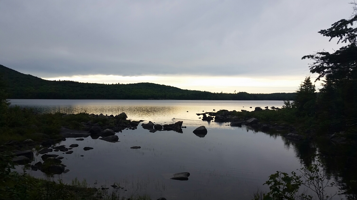
Loved Sleeping by the lakes at night and listening to the loons
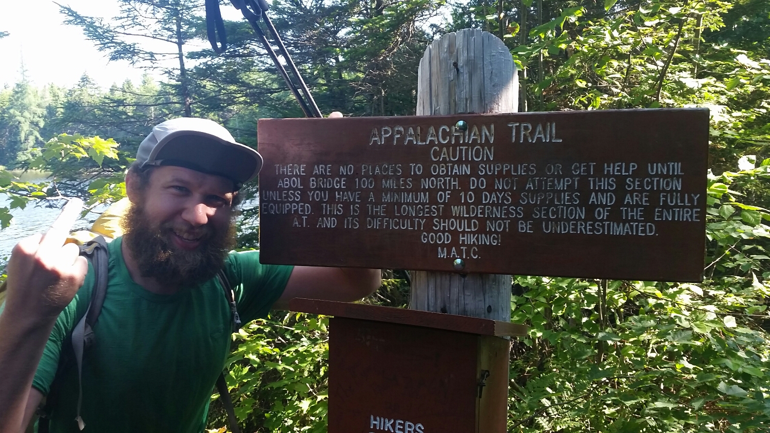
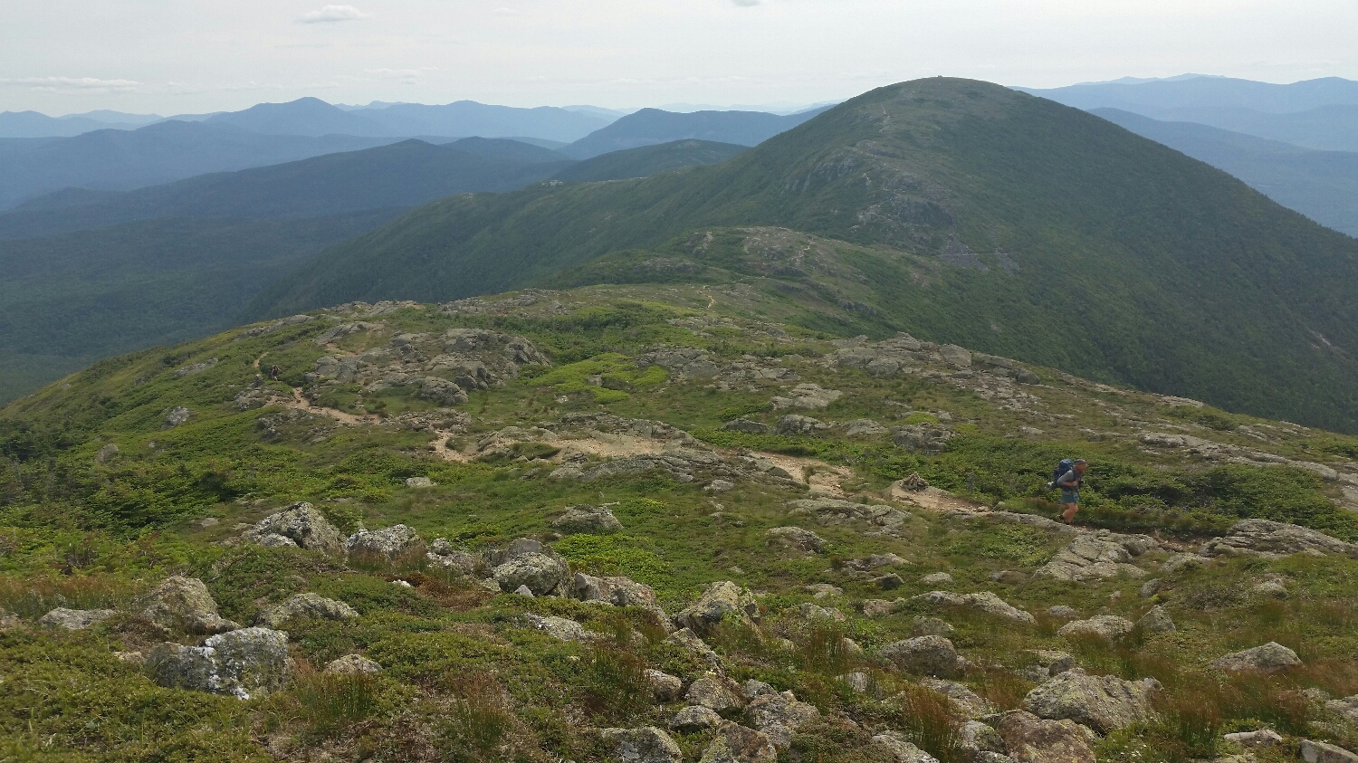
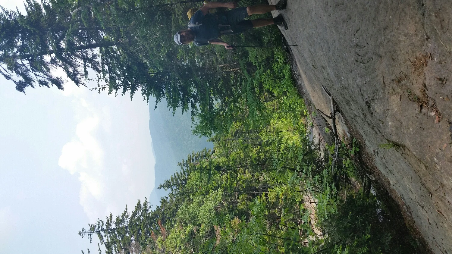
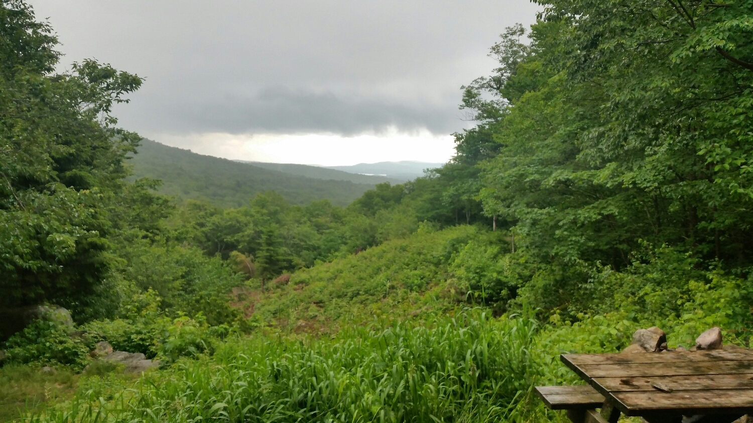
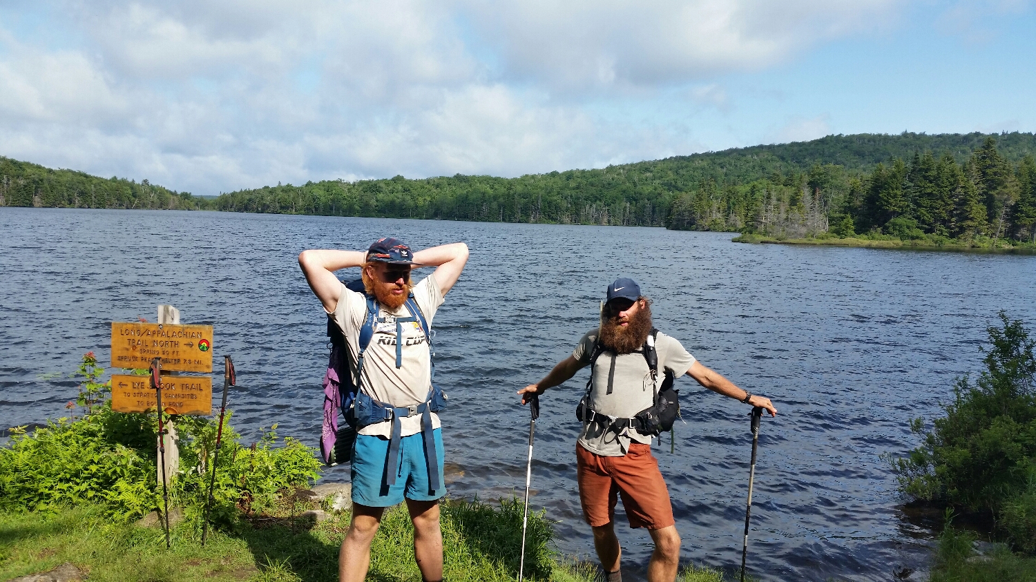
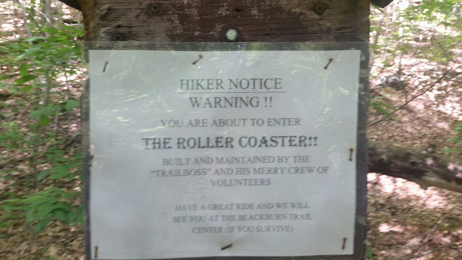
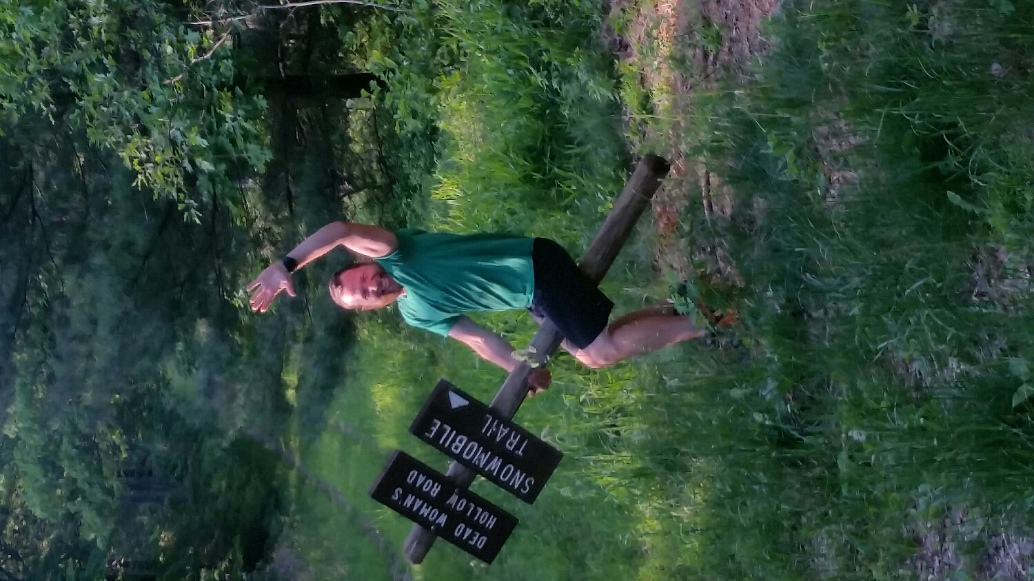
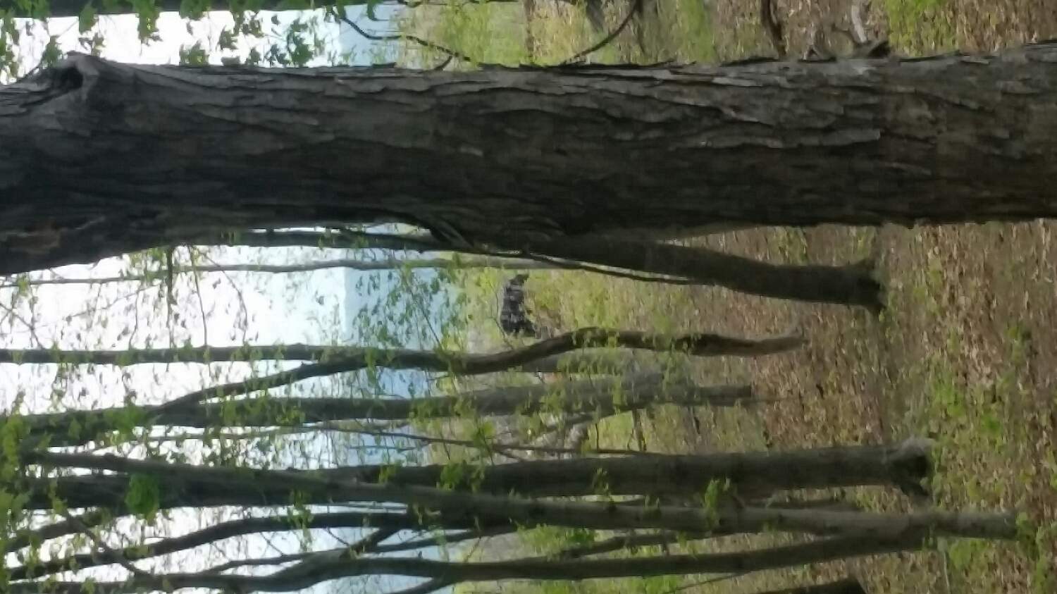
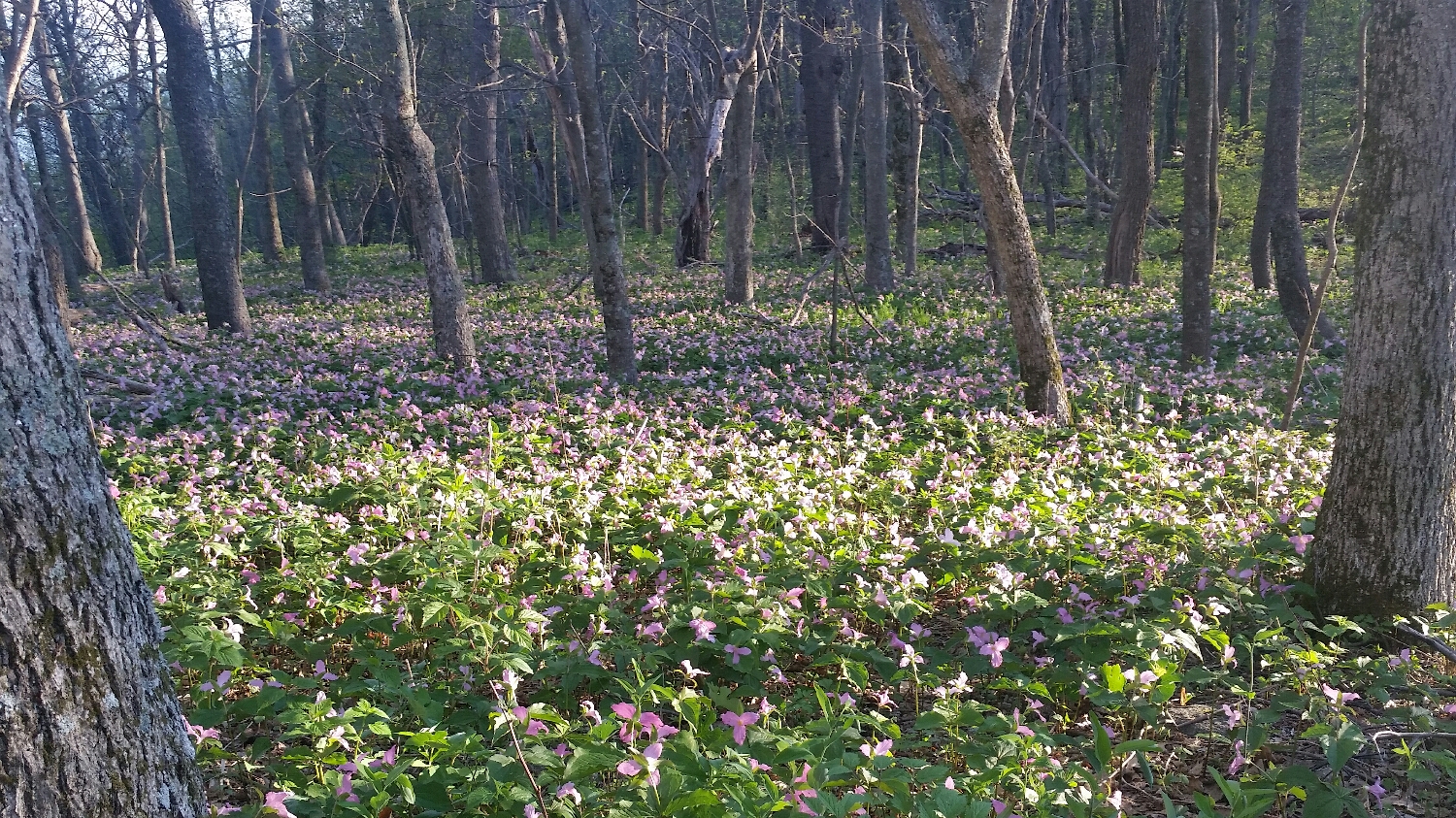
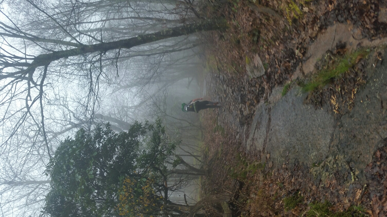
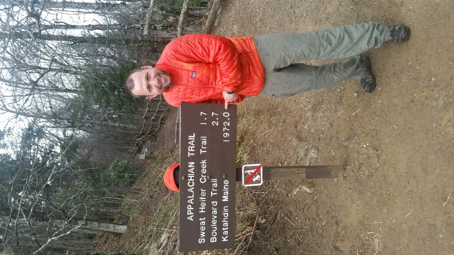
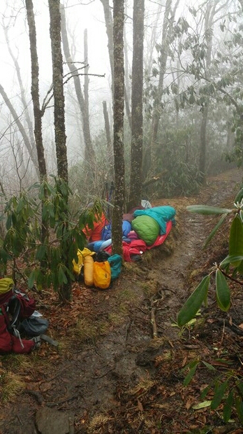
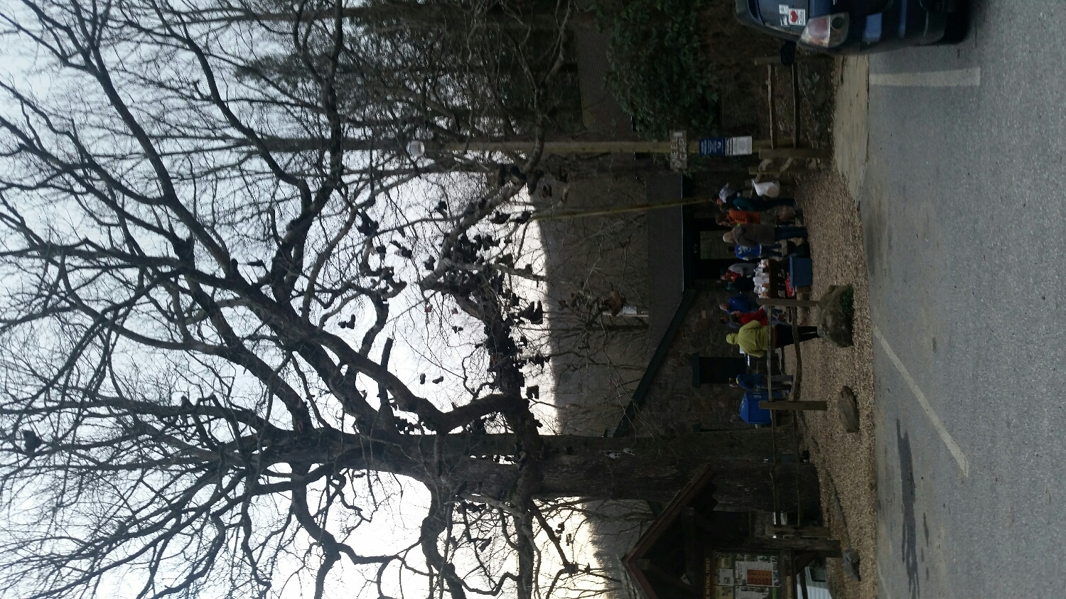
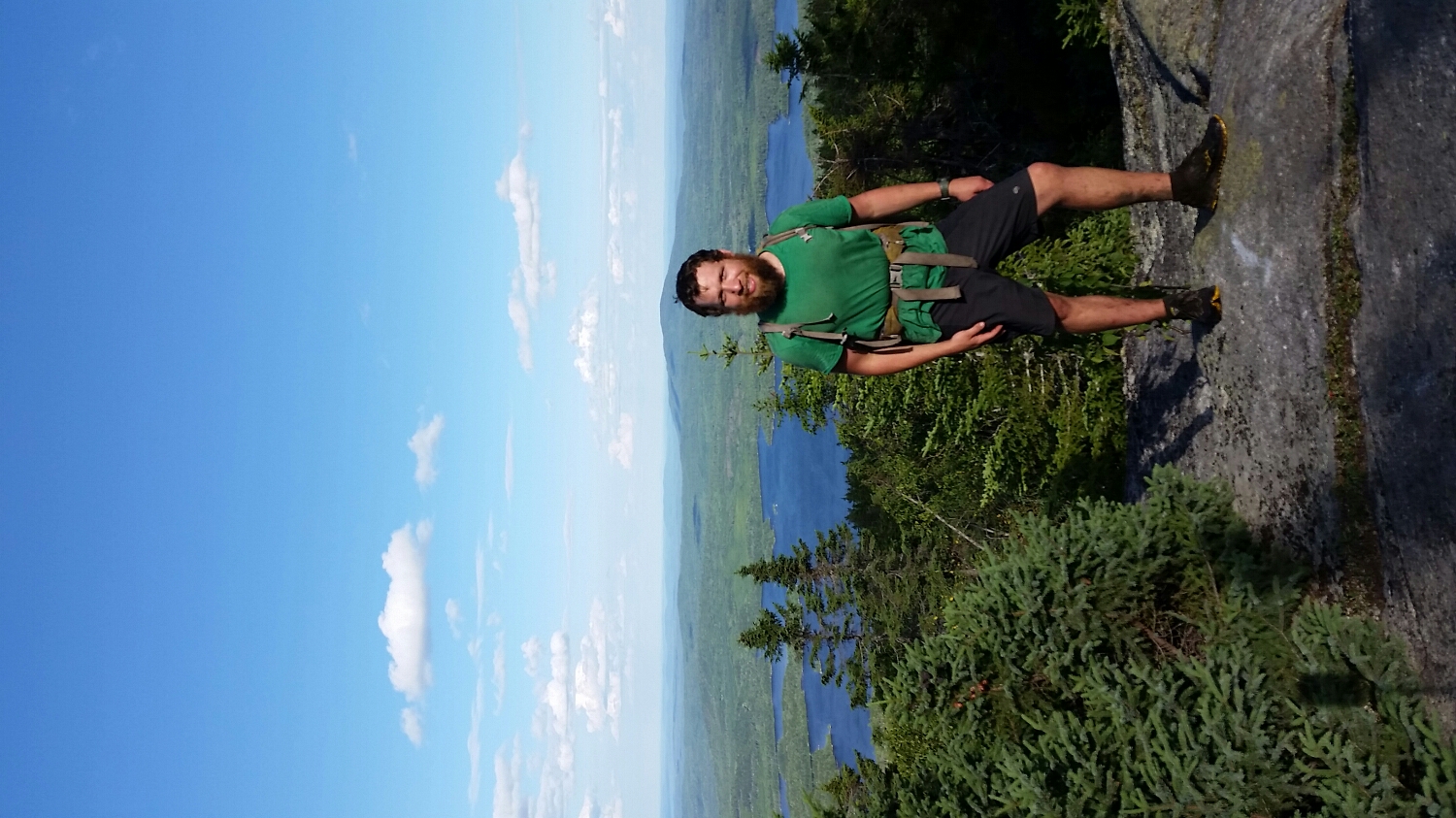
Entering the 100 mile wilderness
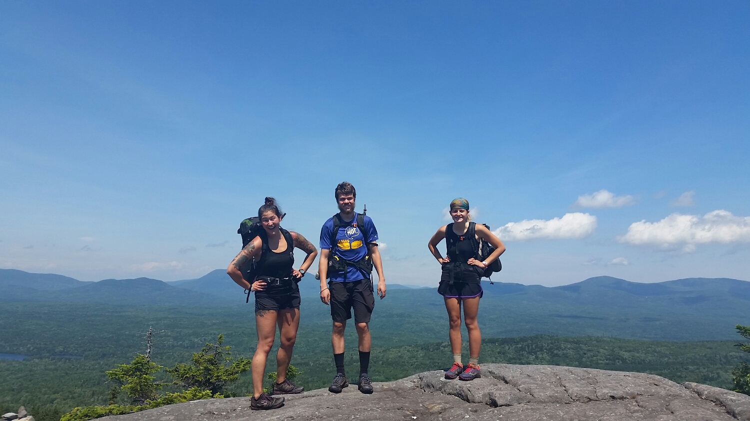
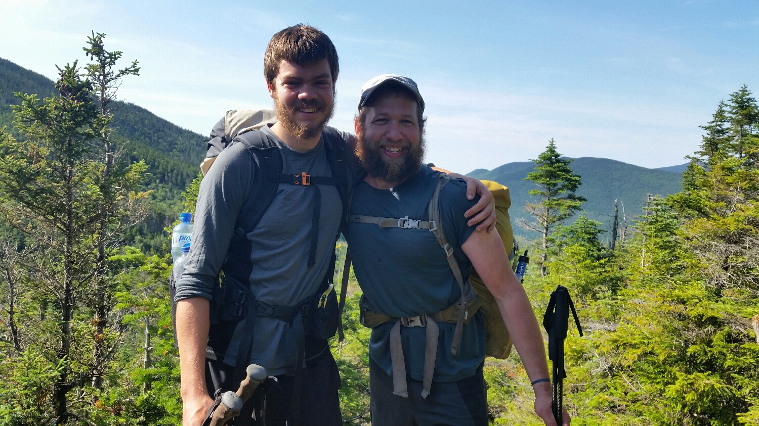
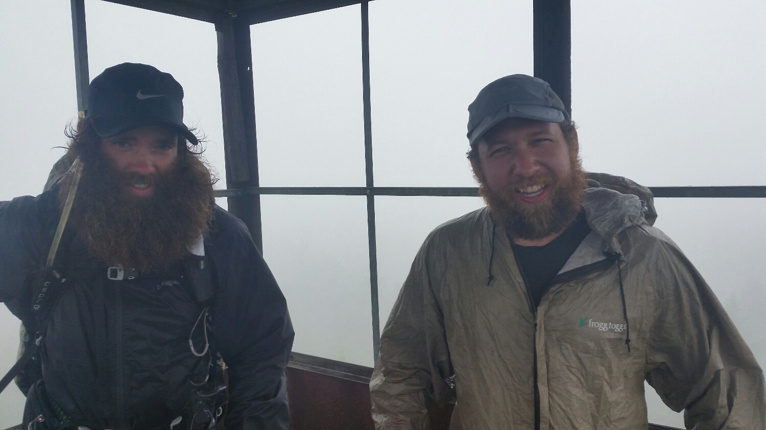
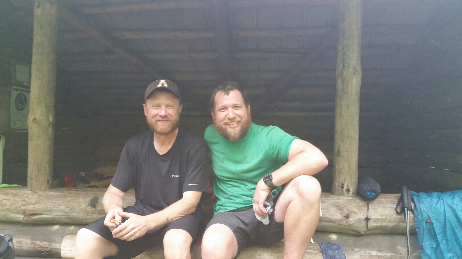
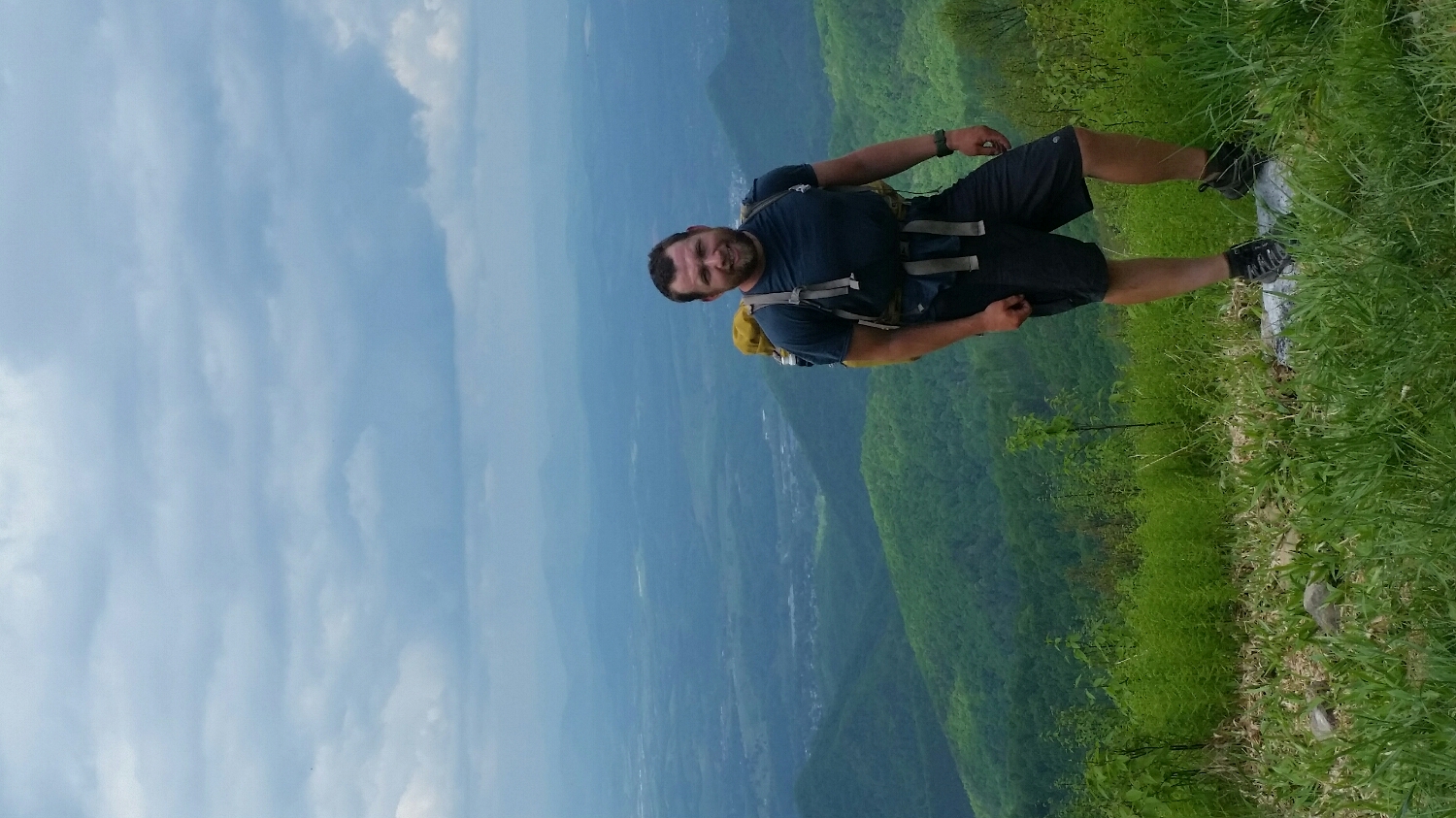
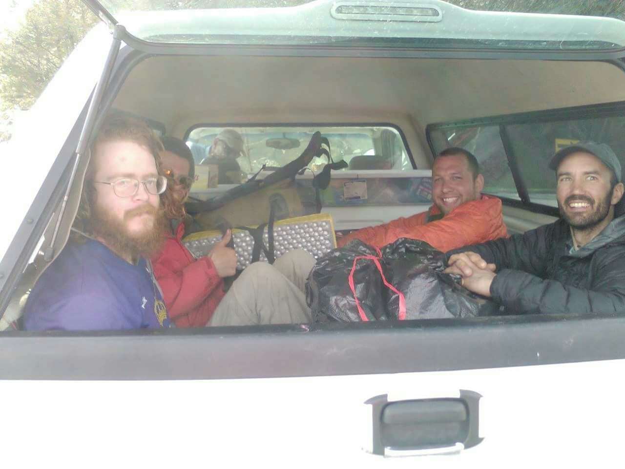
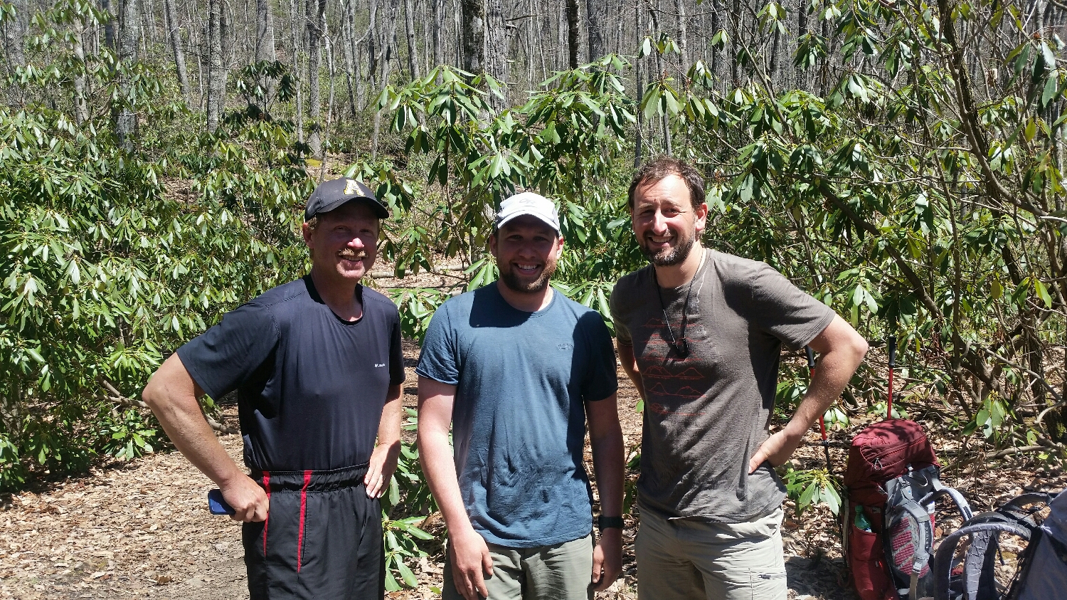
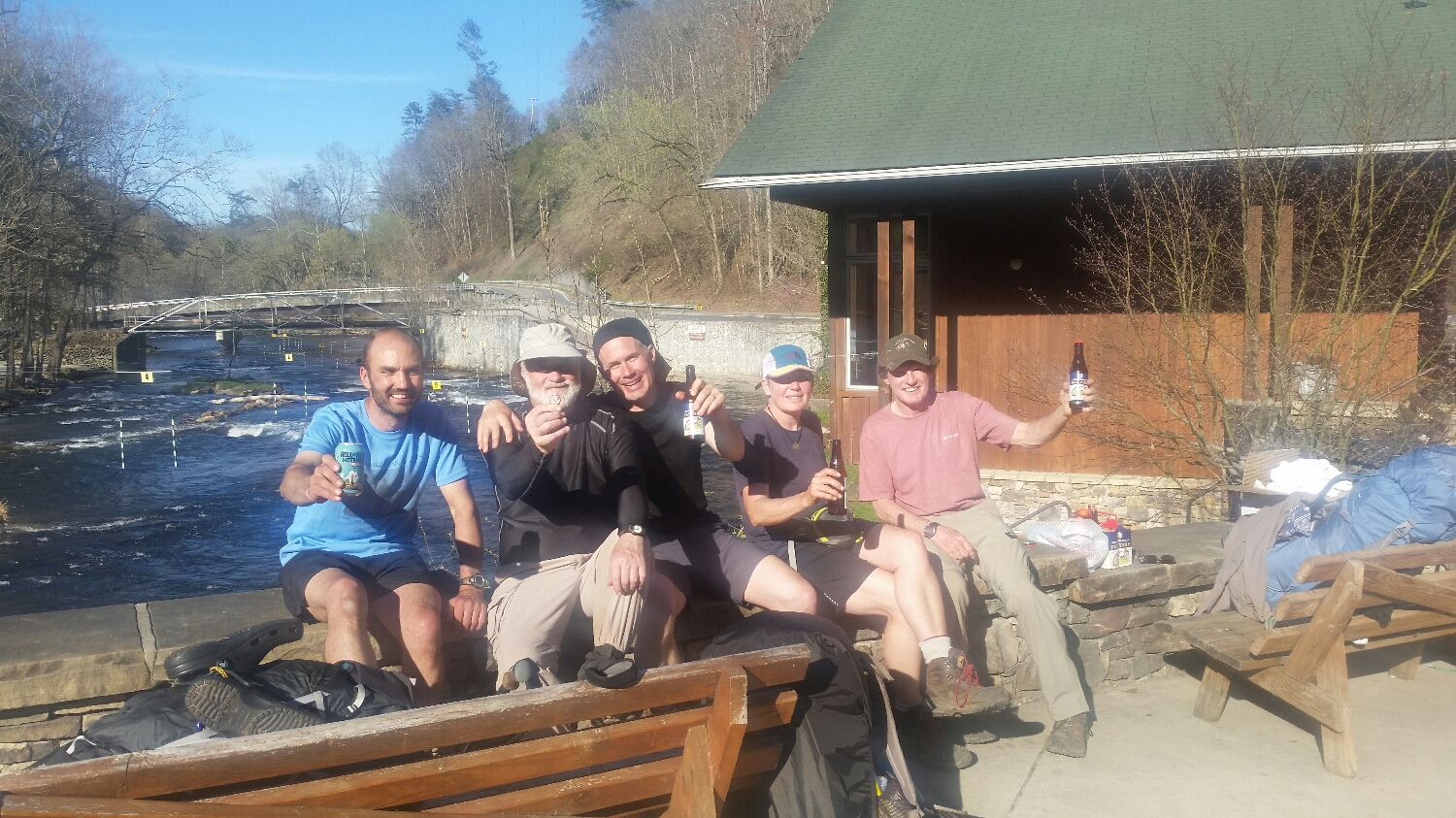
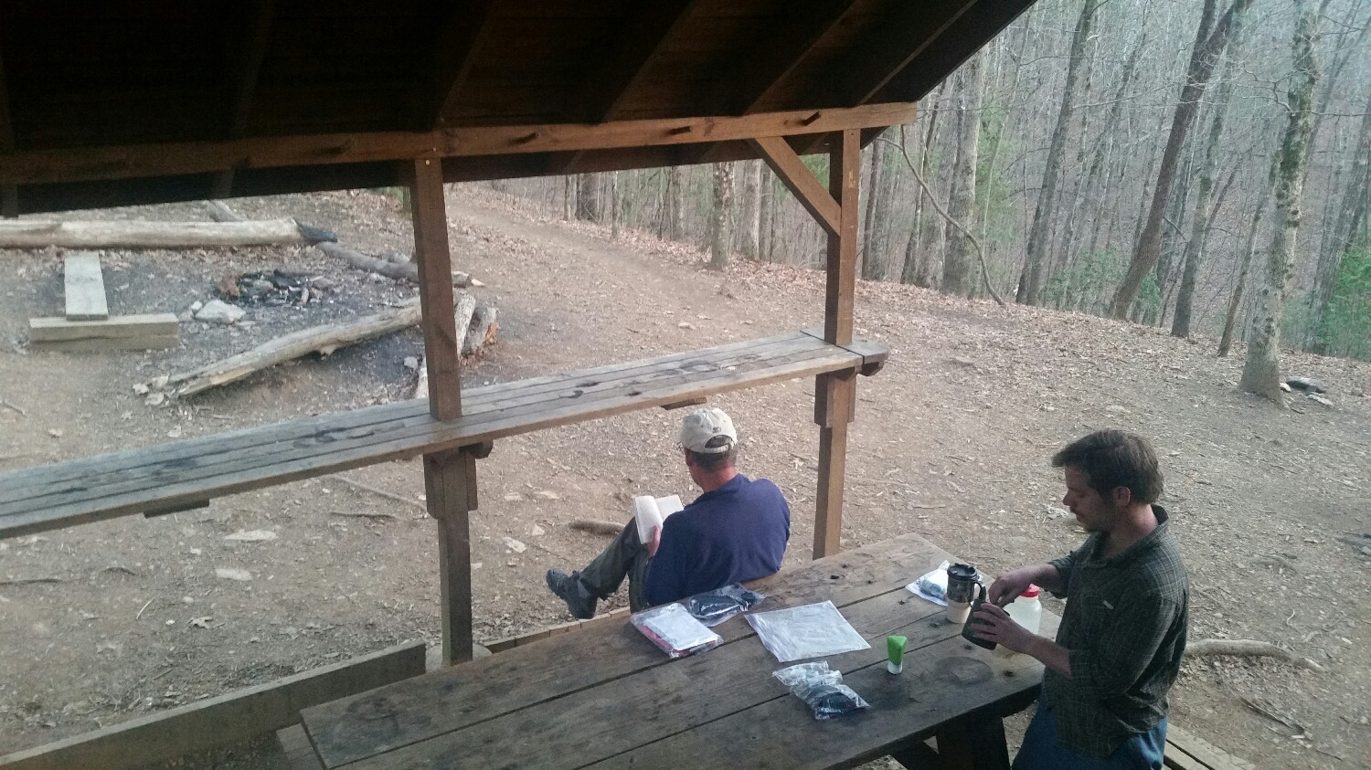
Sugar Magnolia, Uphill, Crafty
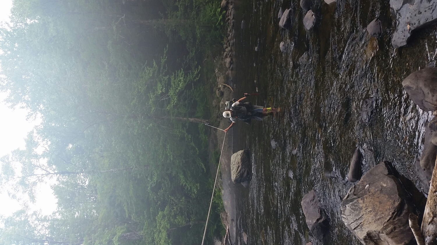
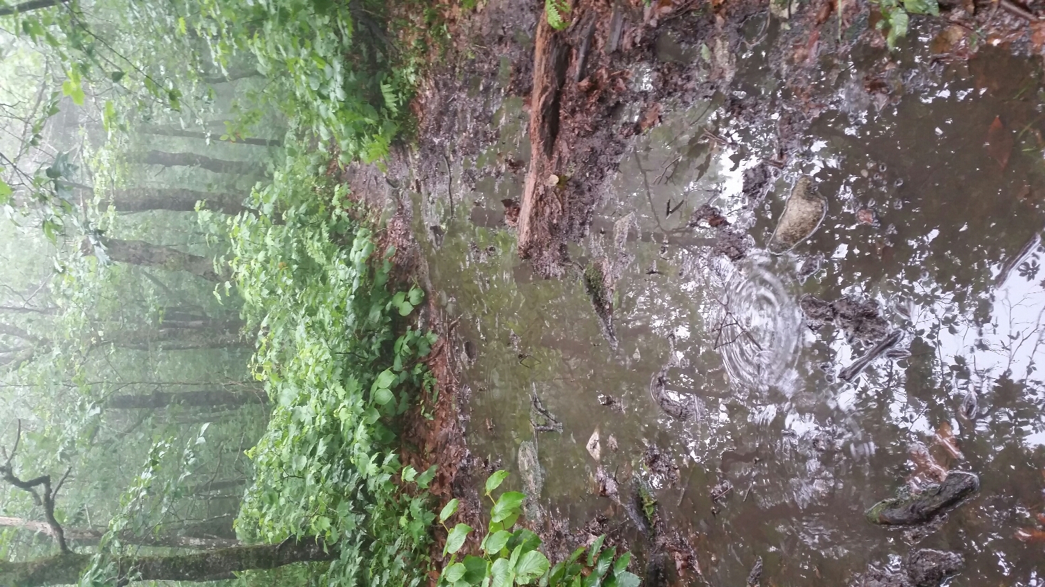
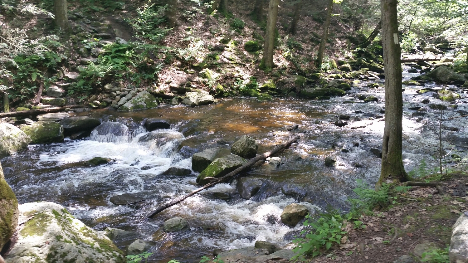
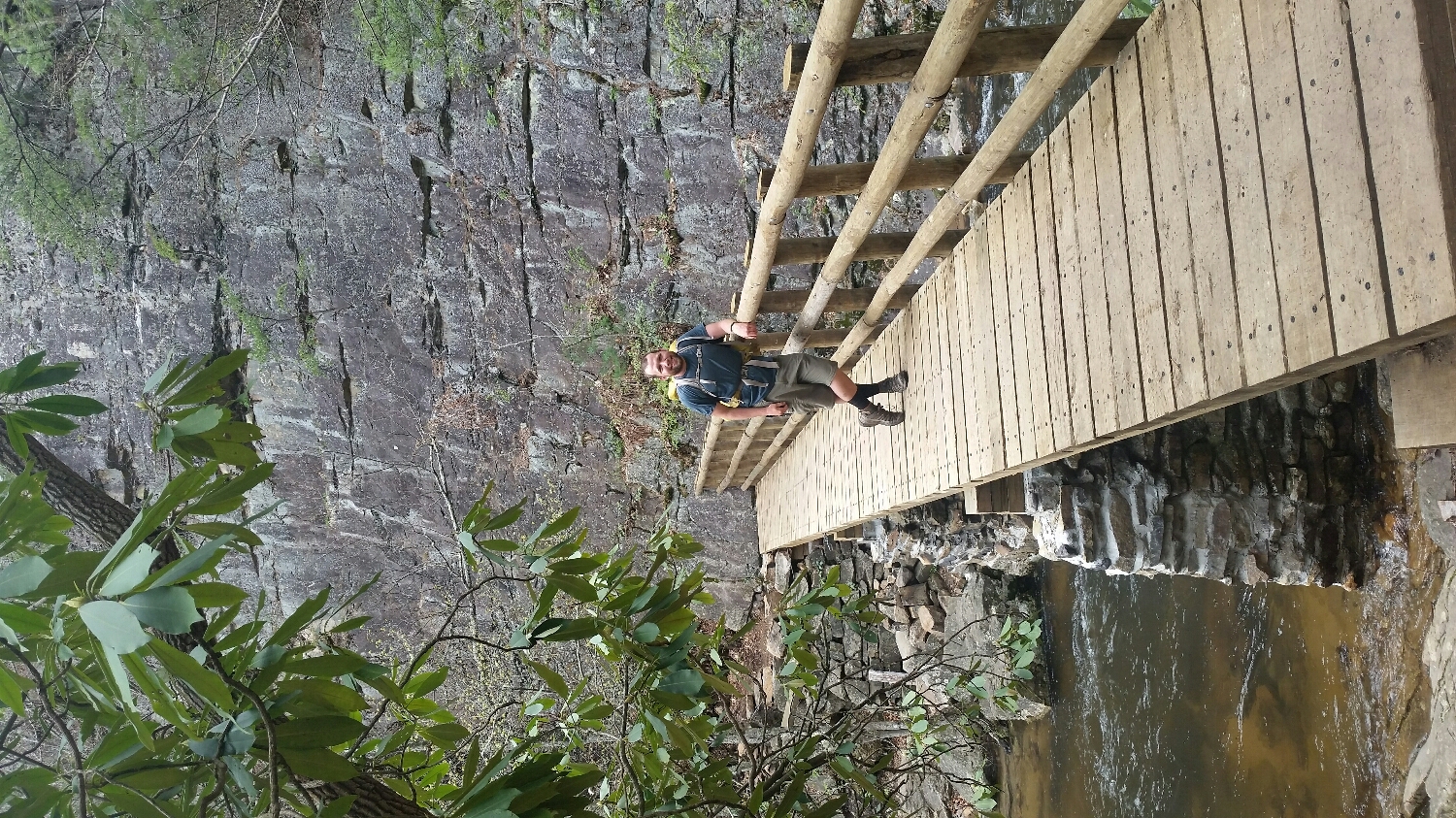
GQ crossing one of the many rivers
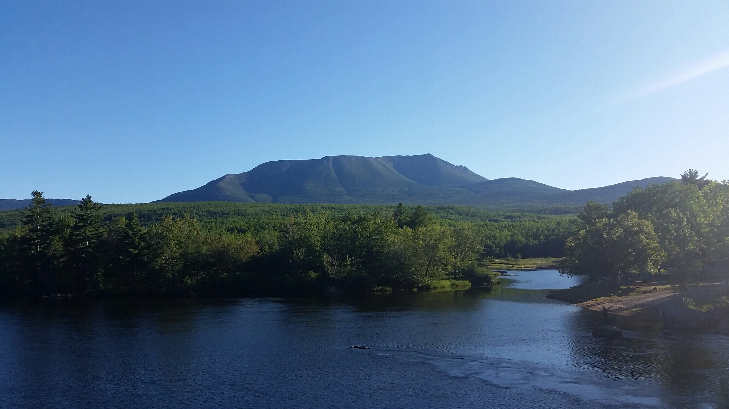
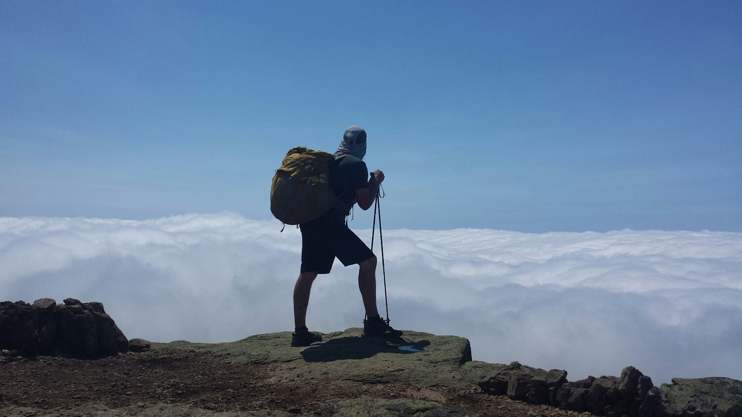
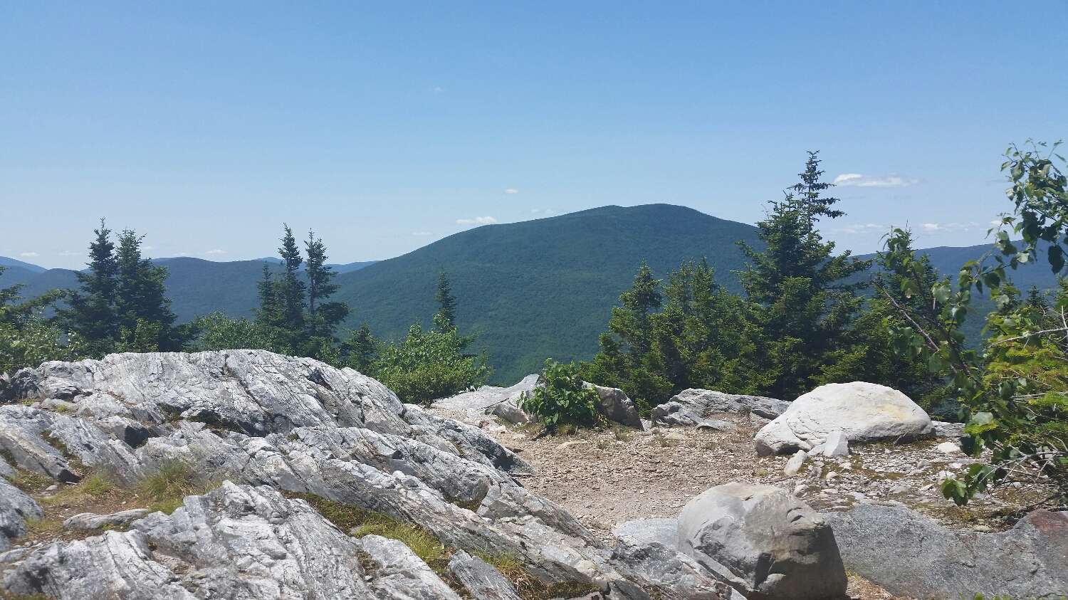
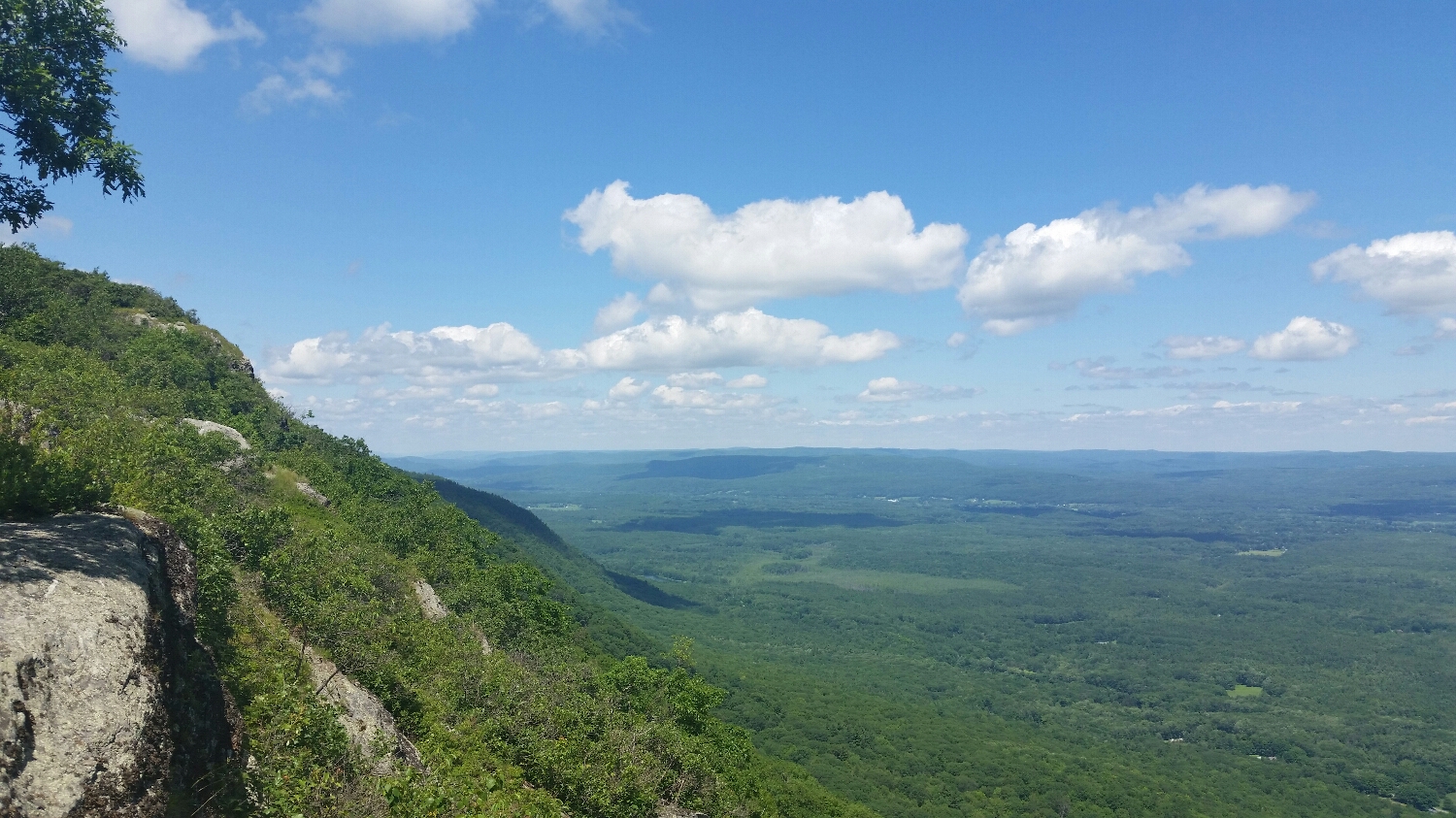
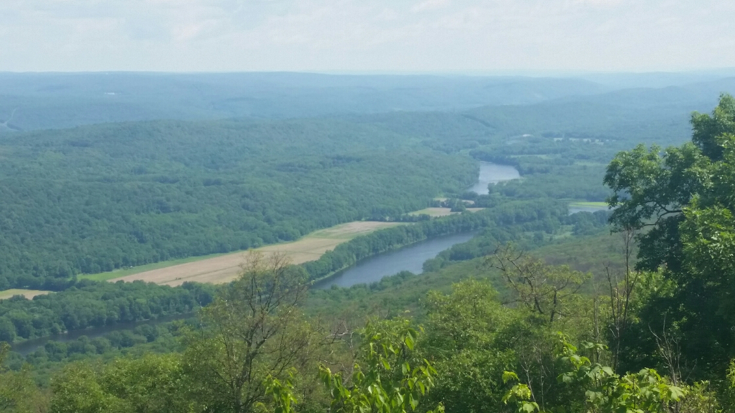
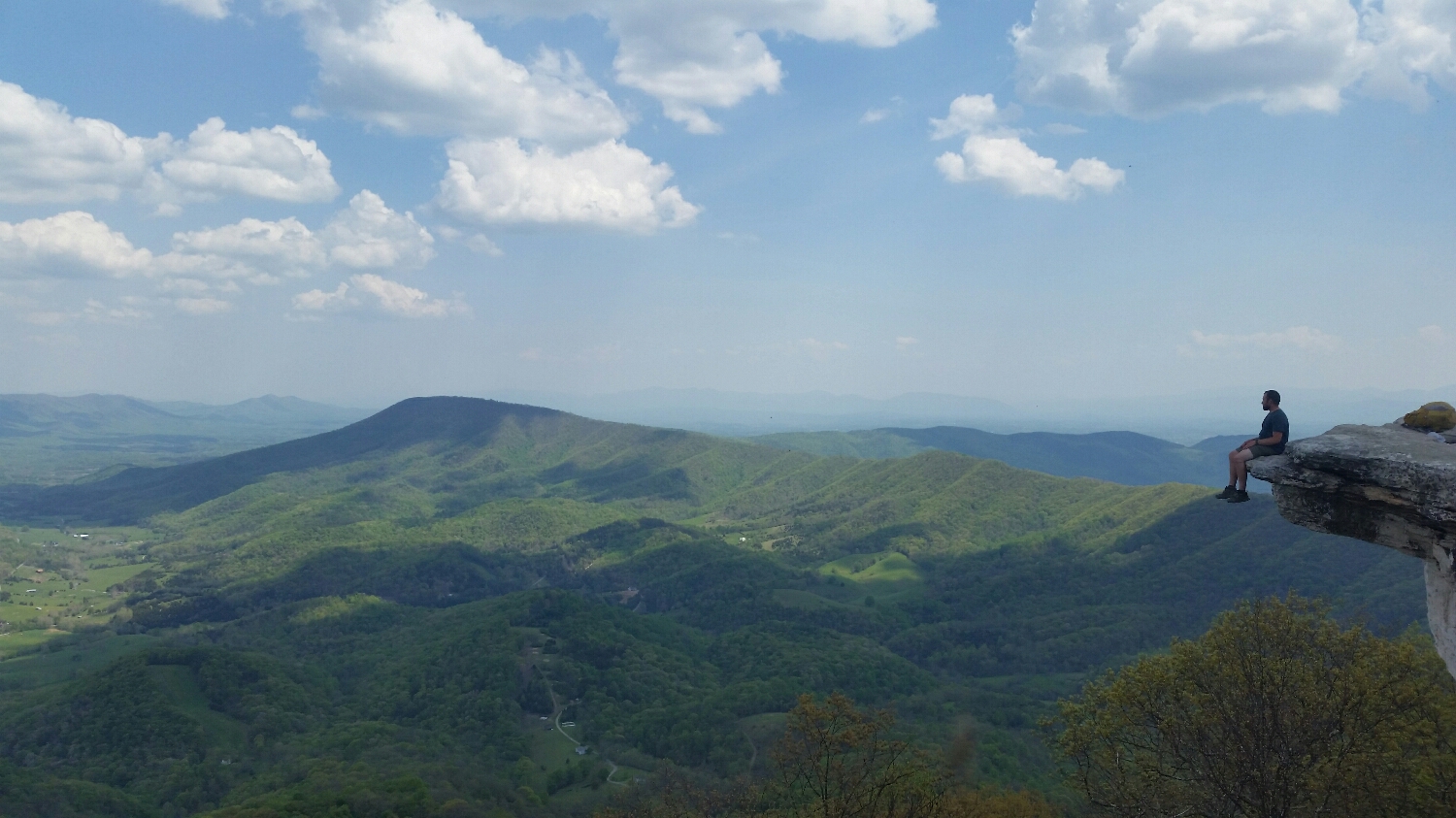
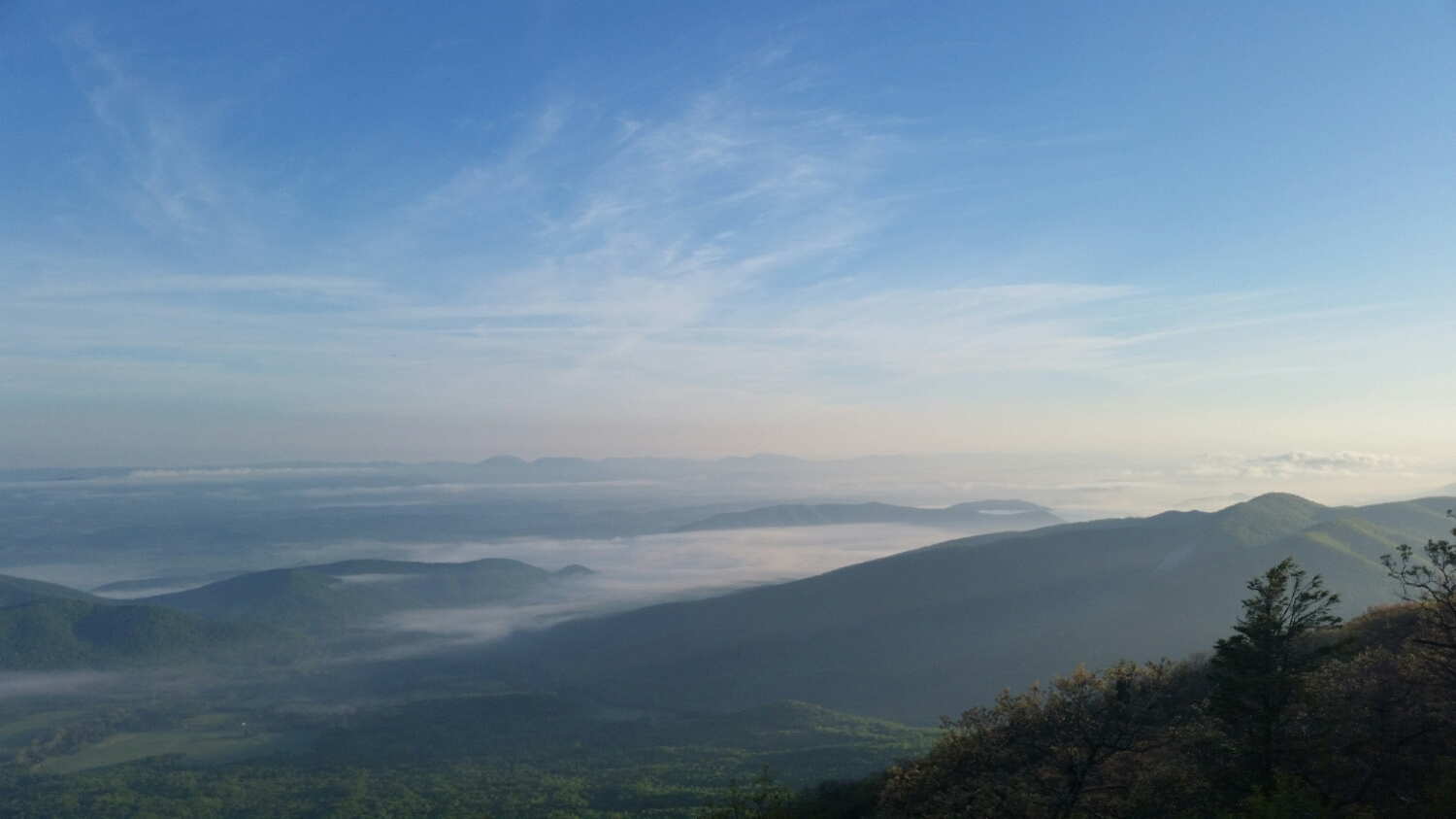
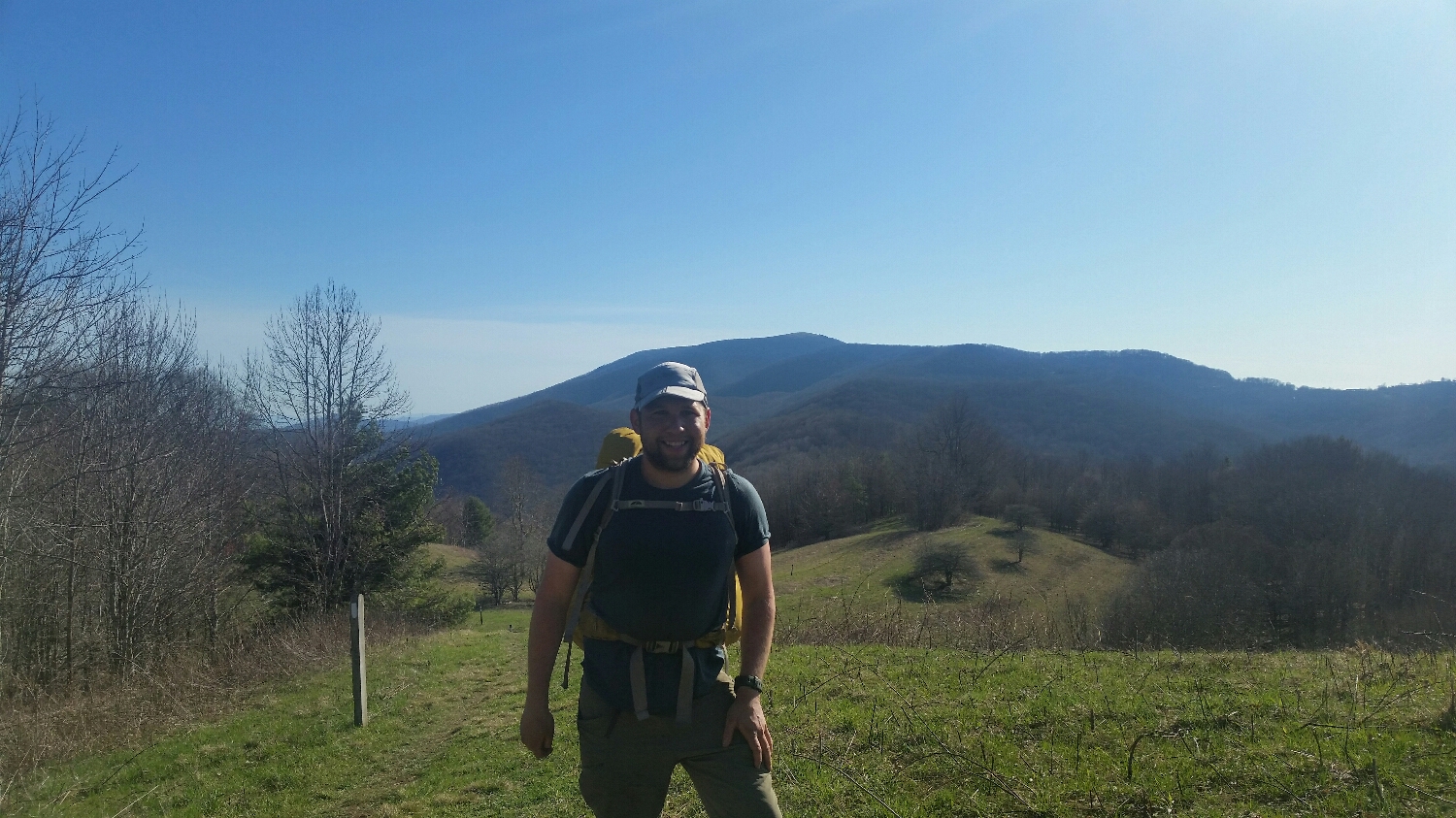
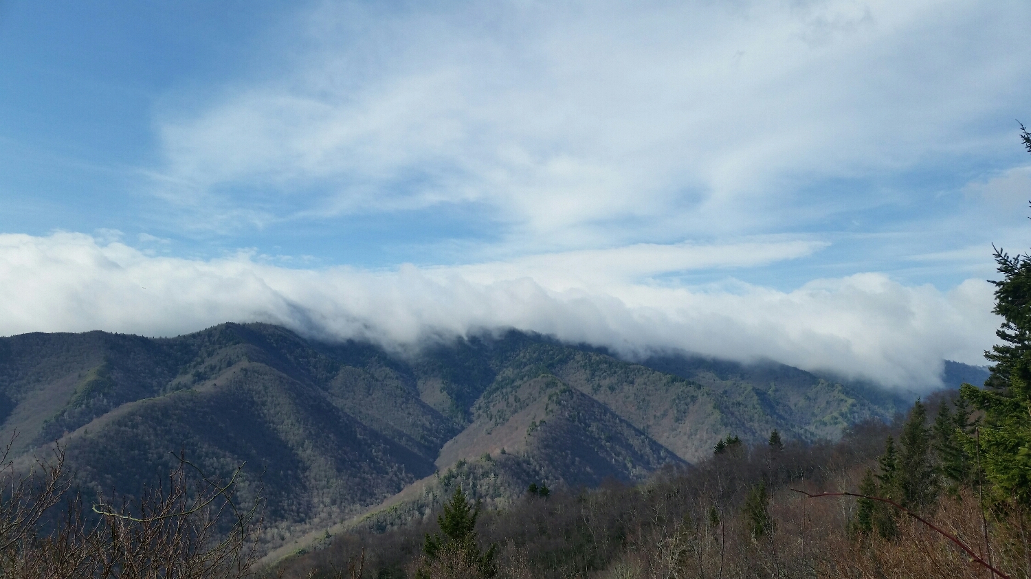
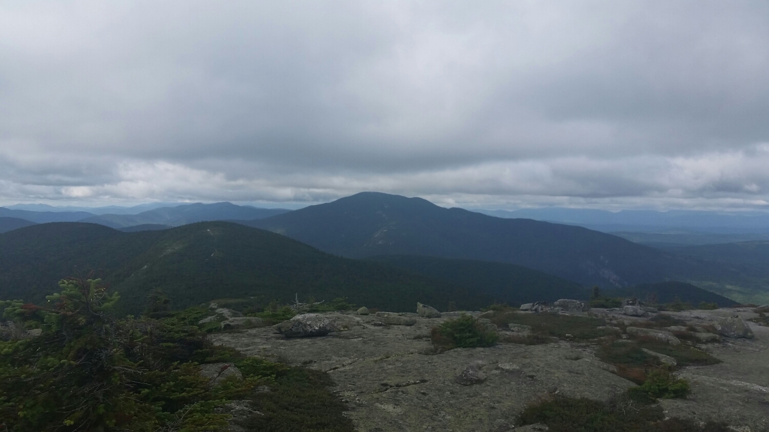
Katahdin from a far
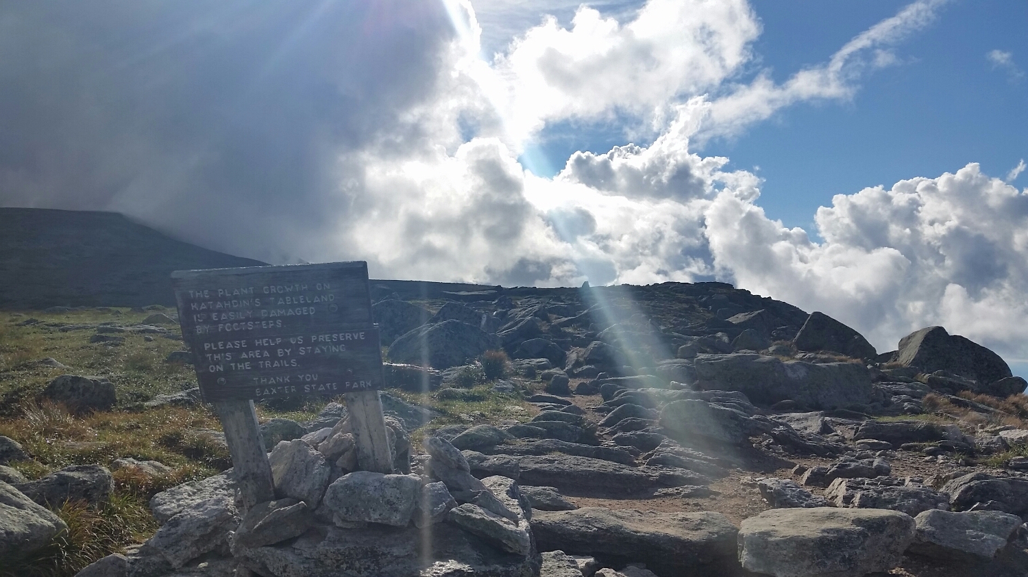
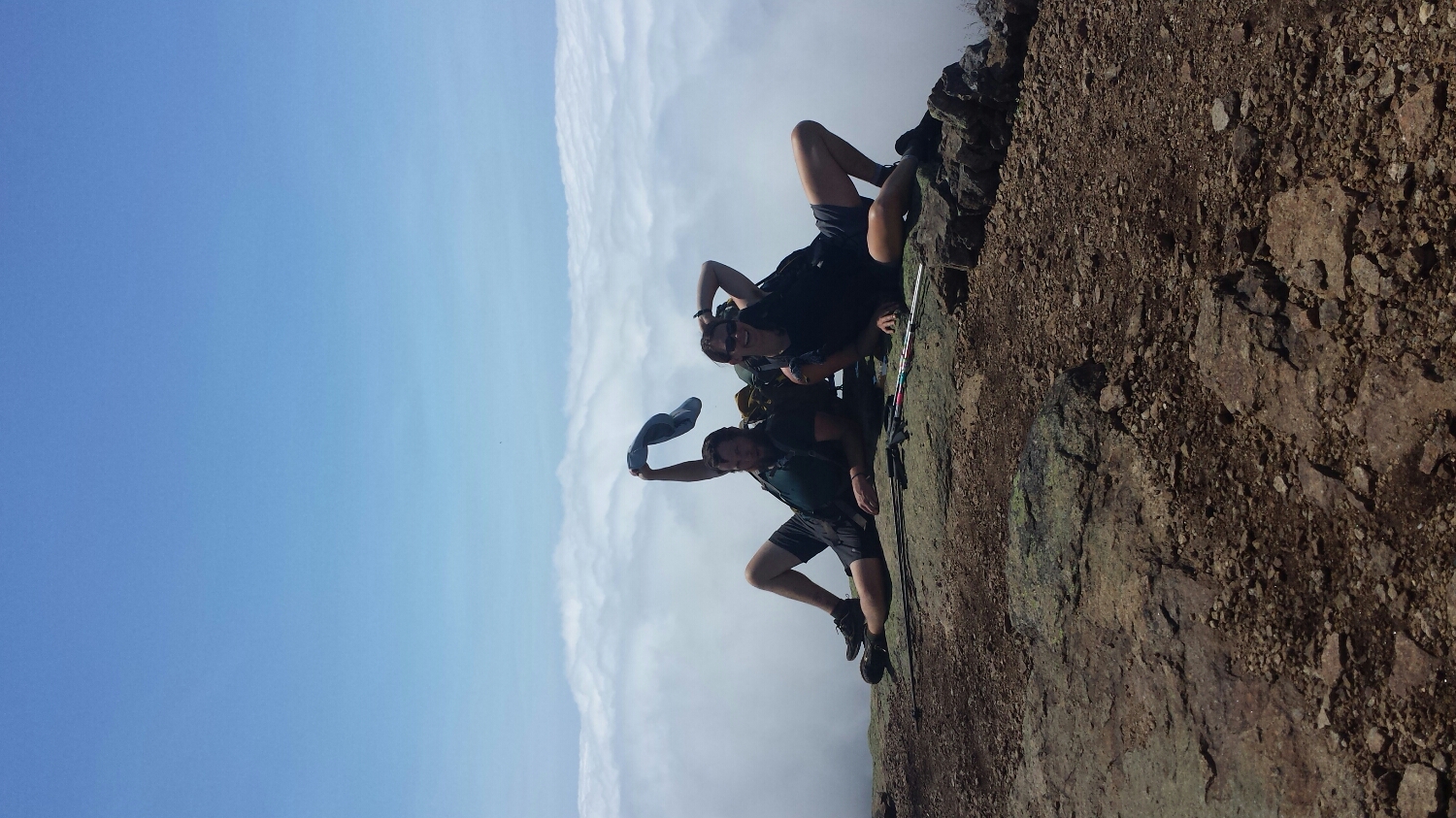
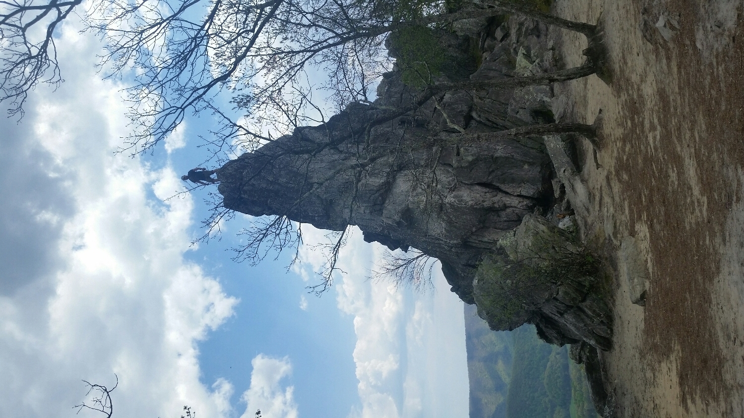
False summit on Katahdin
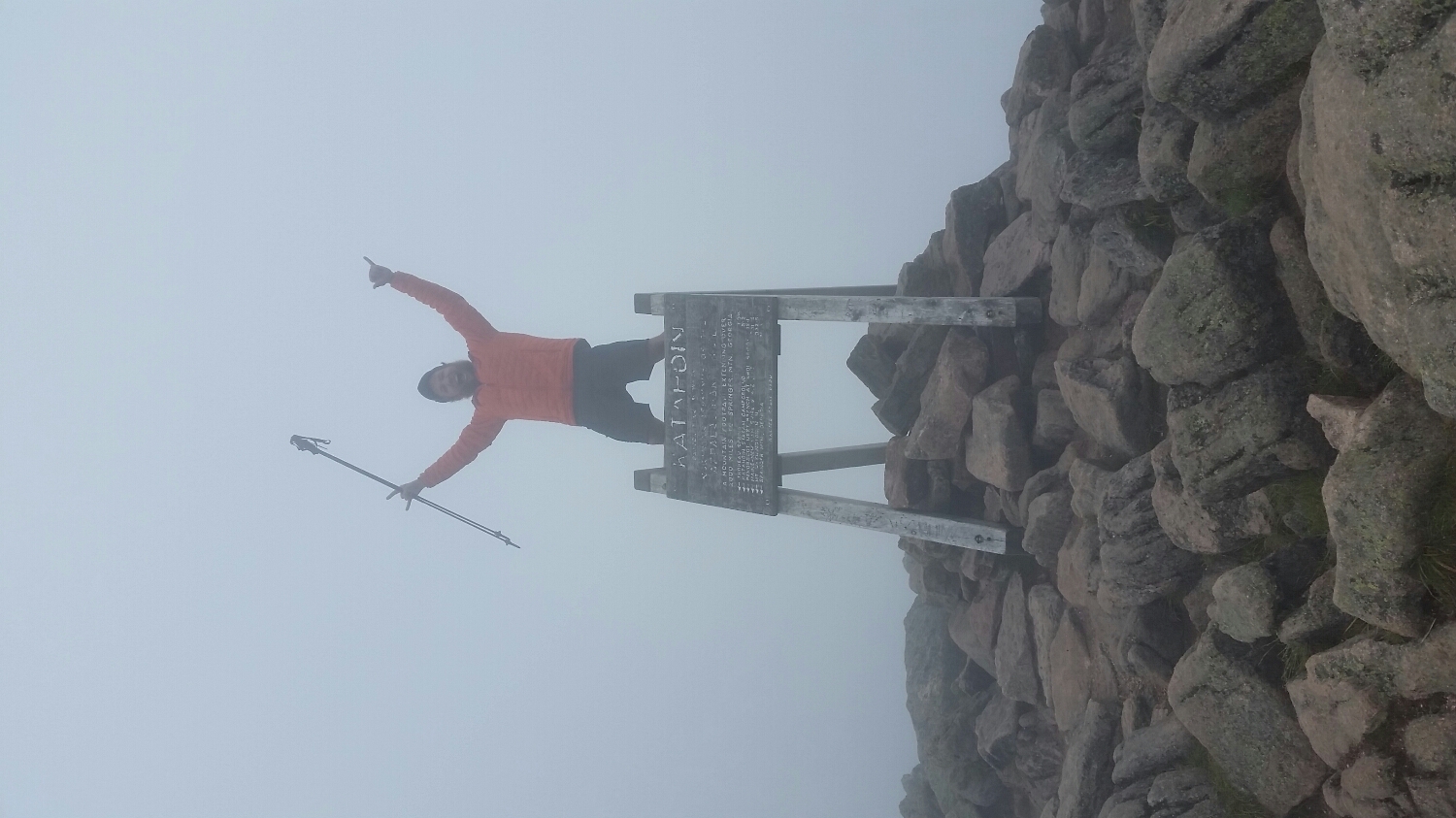
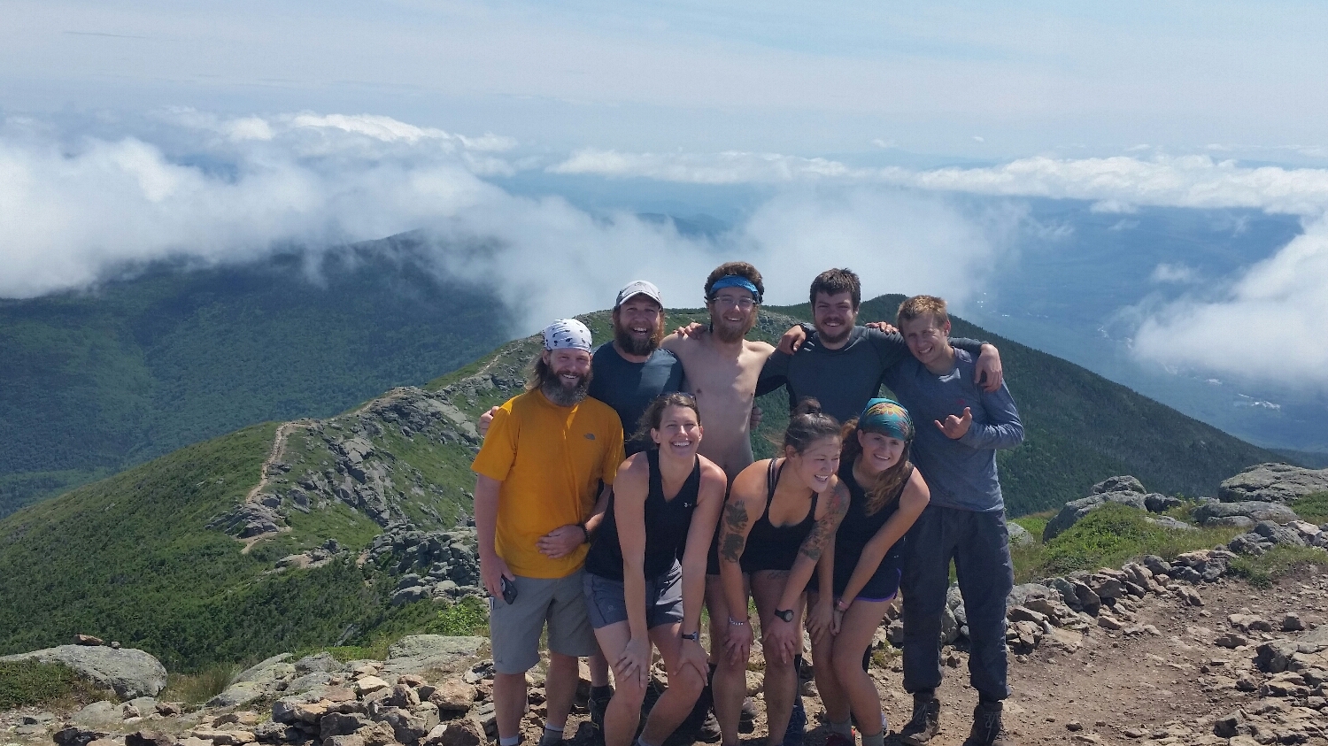
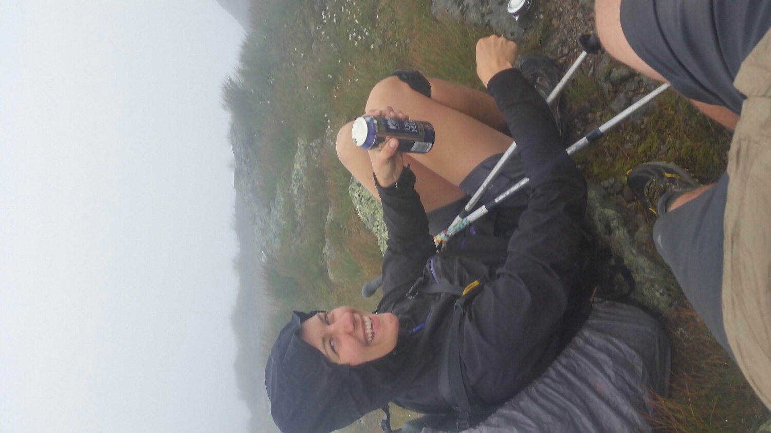
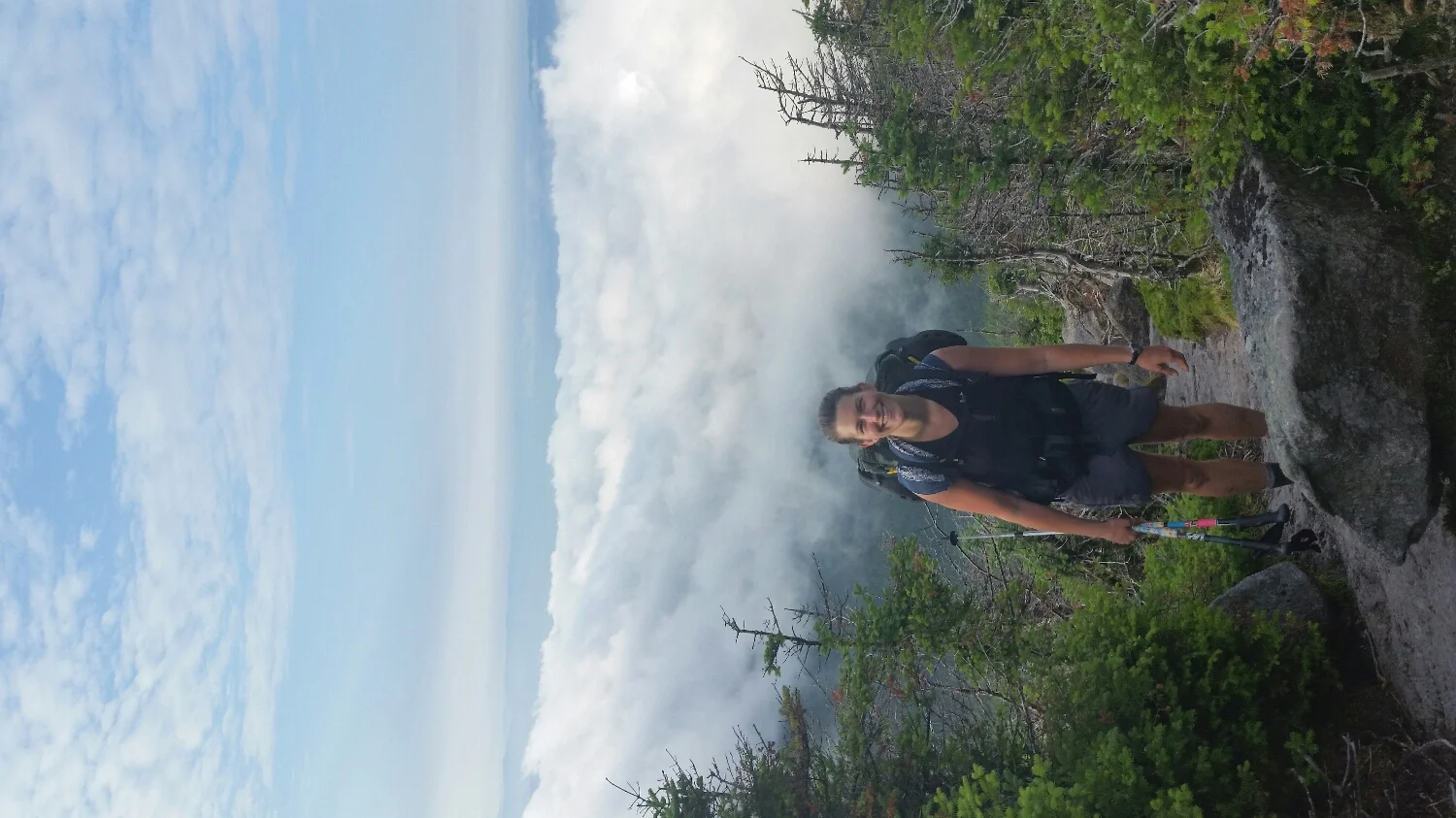
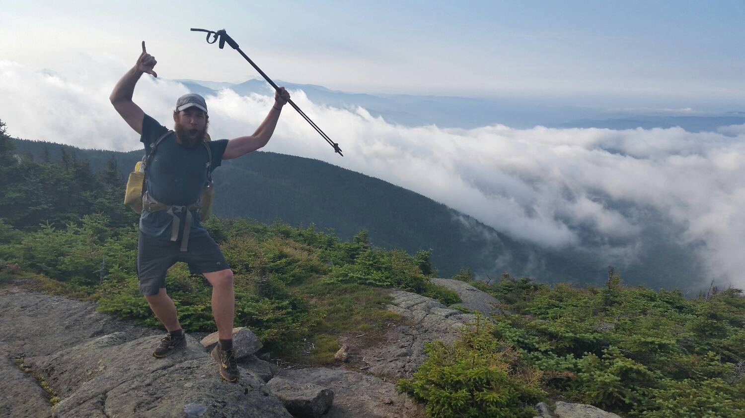
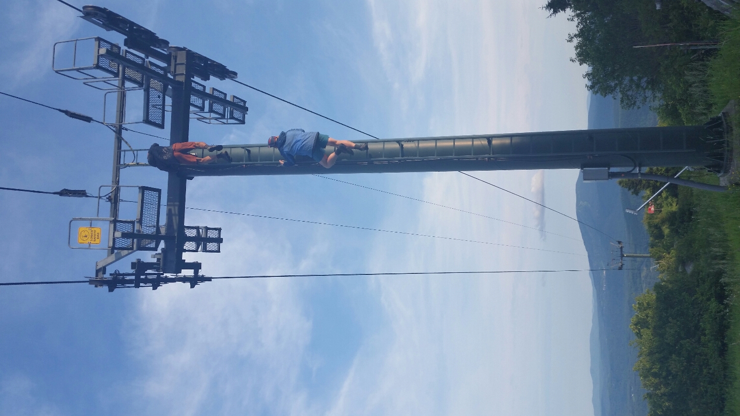
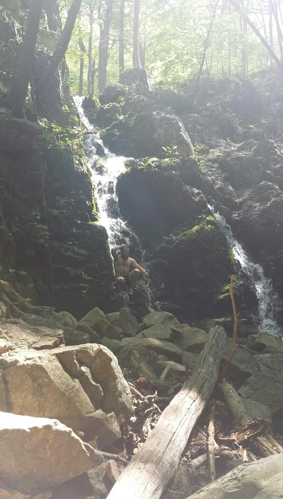
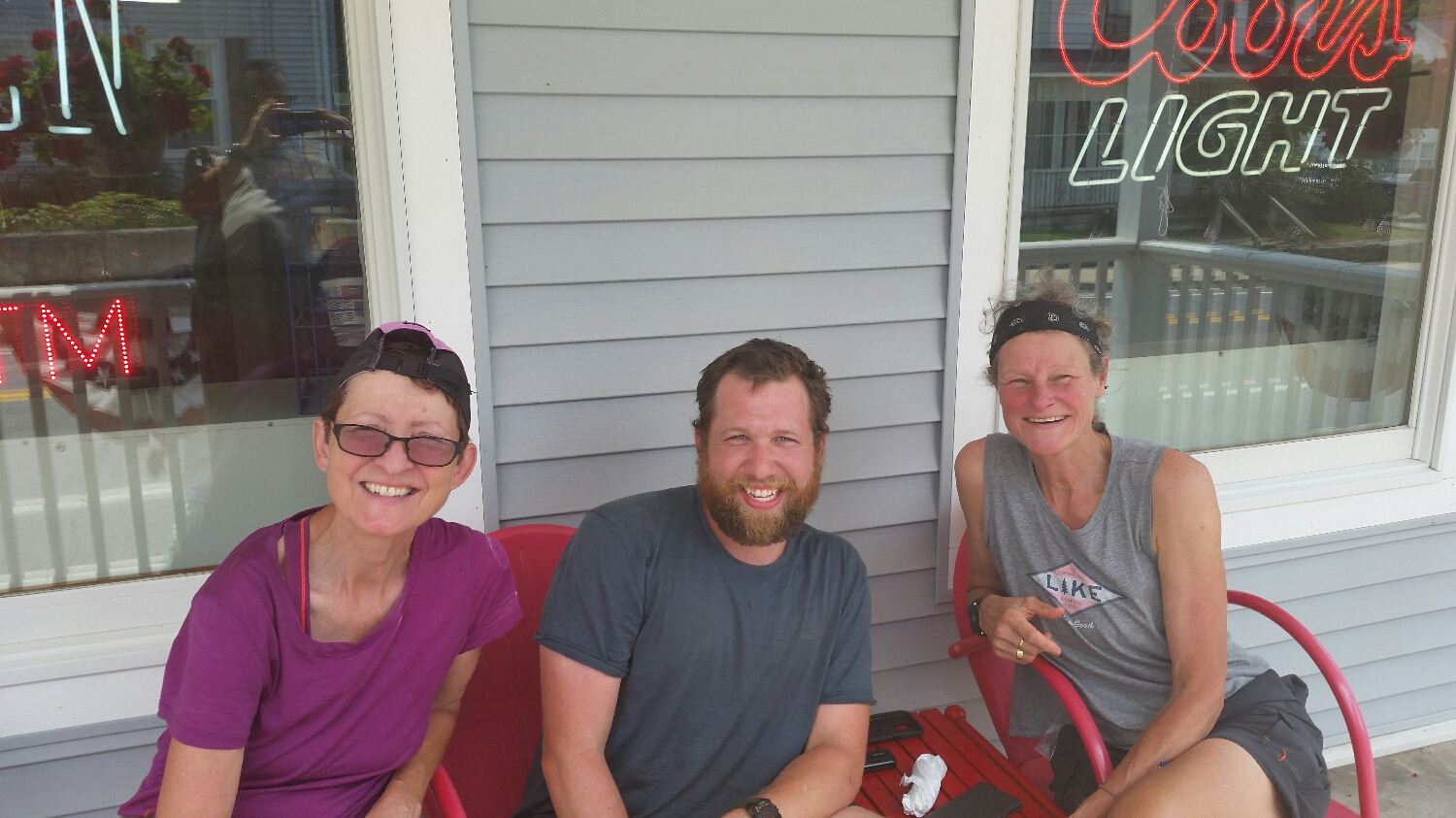
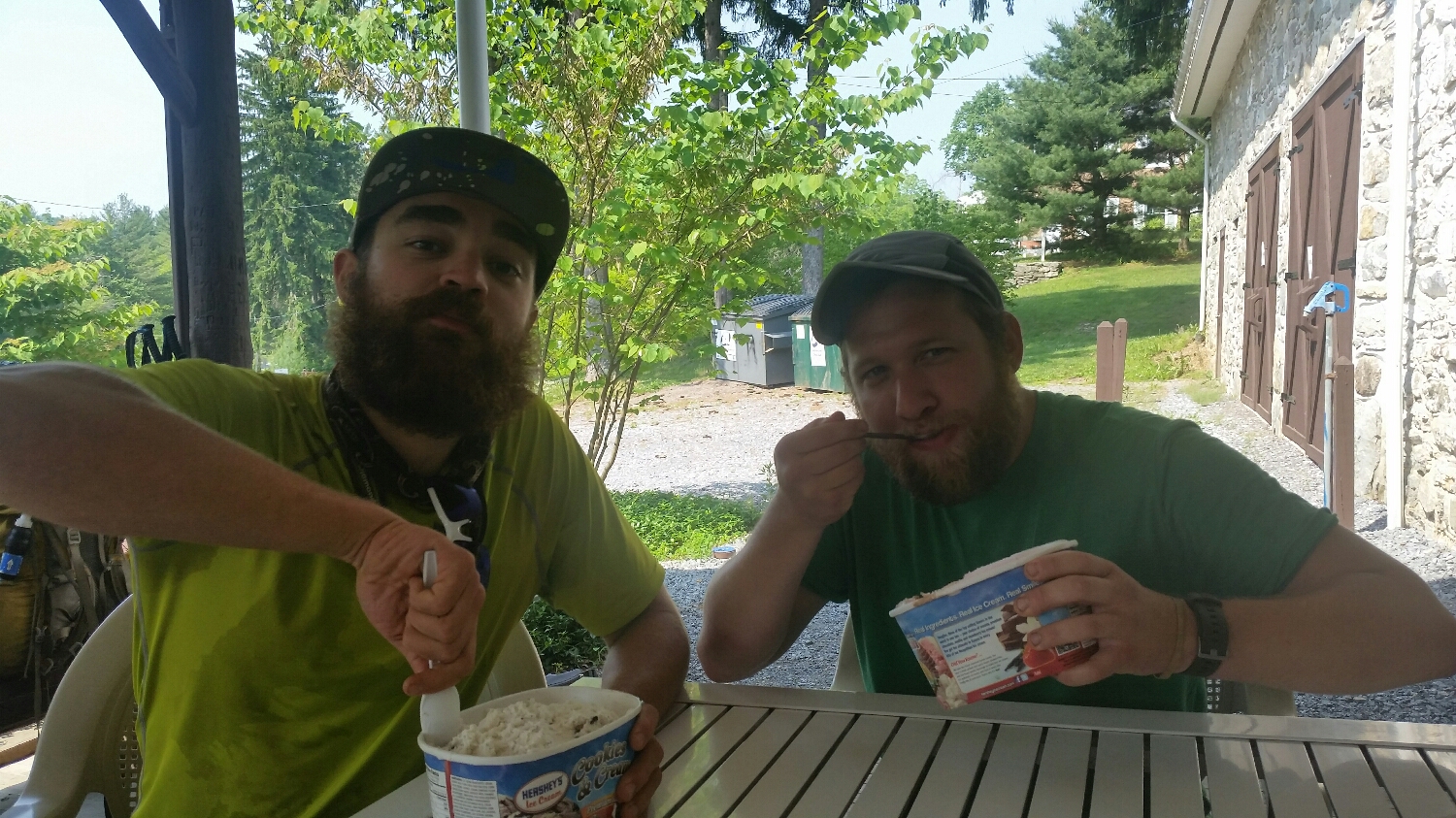
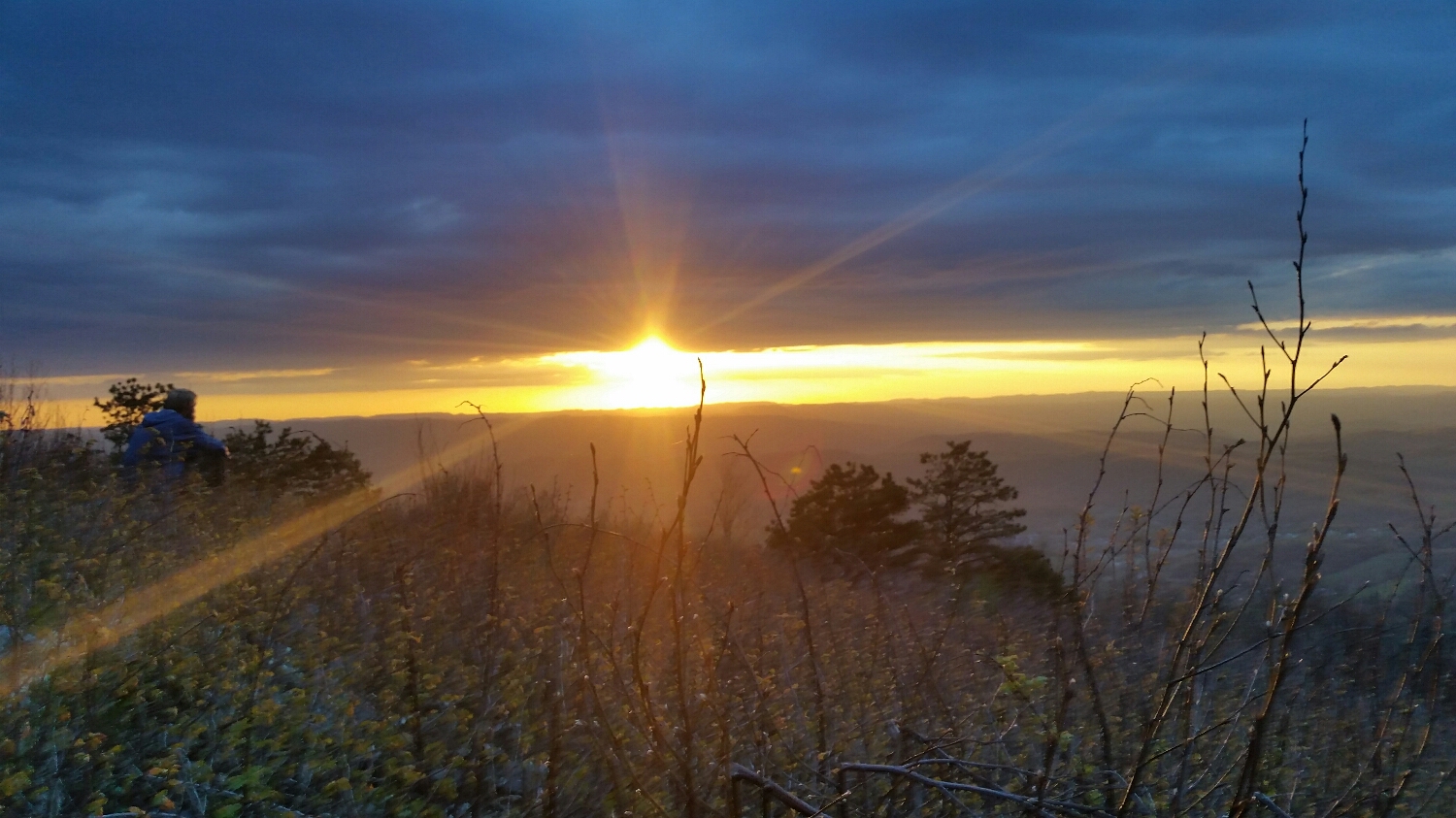
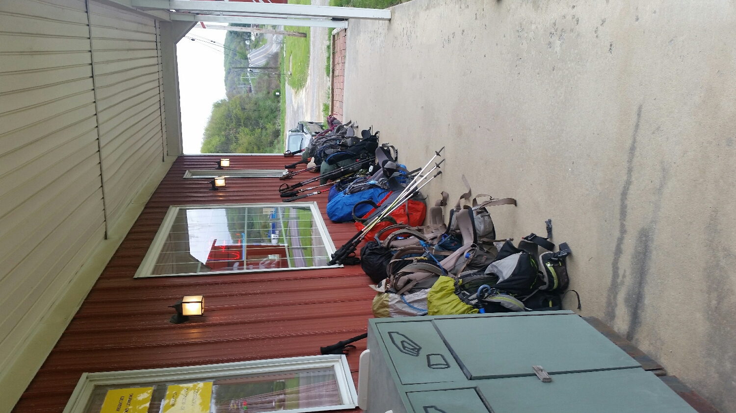
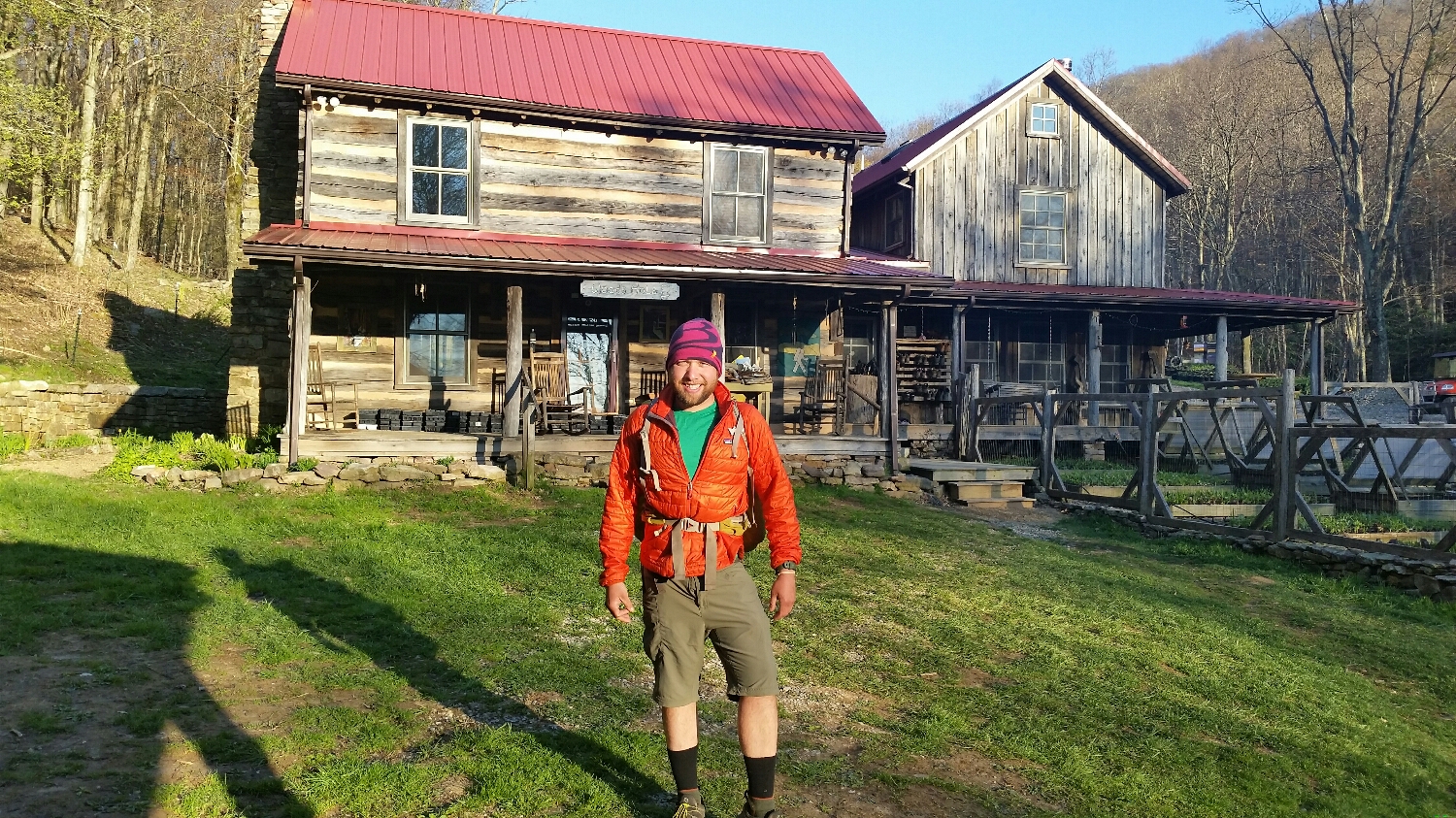
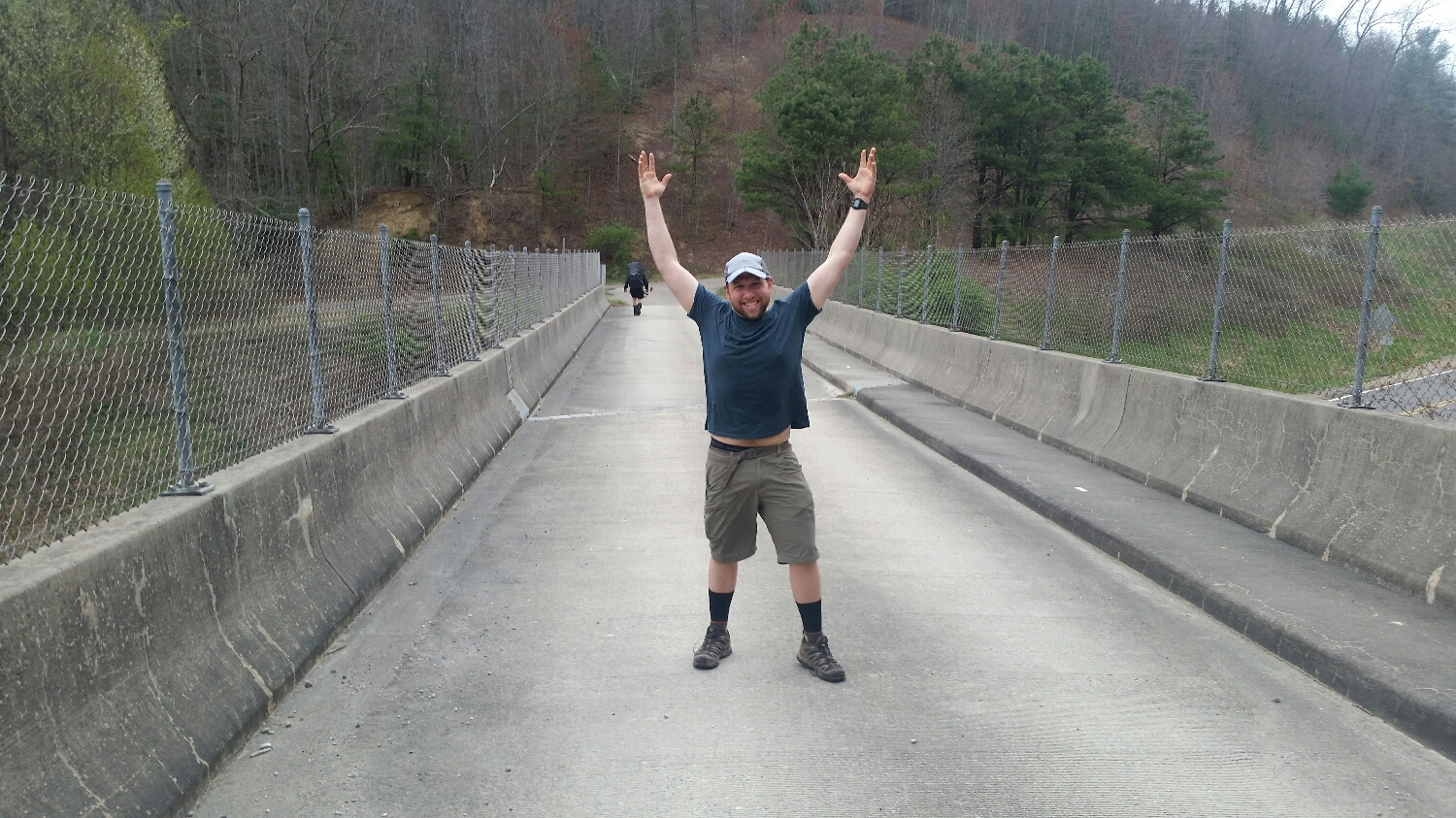
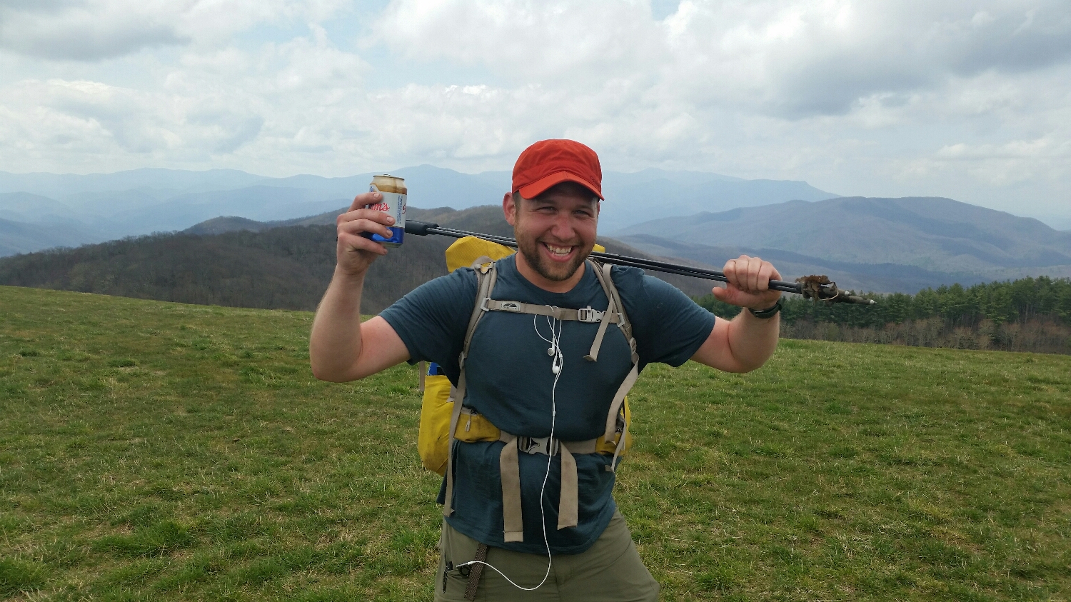
Celebrating something, who knows what
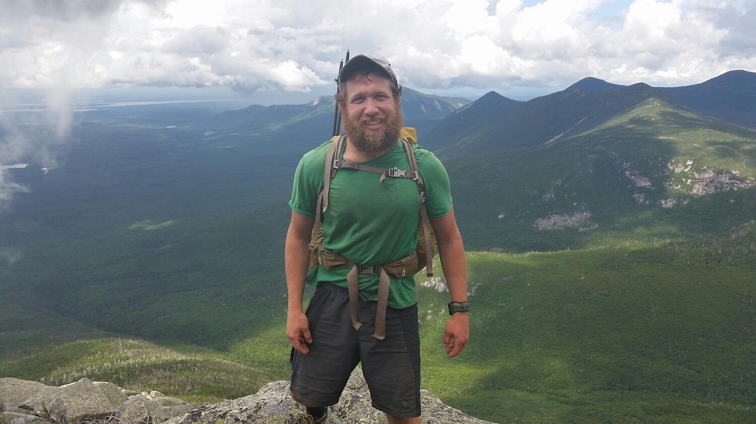
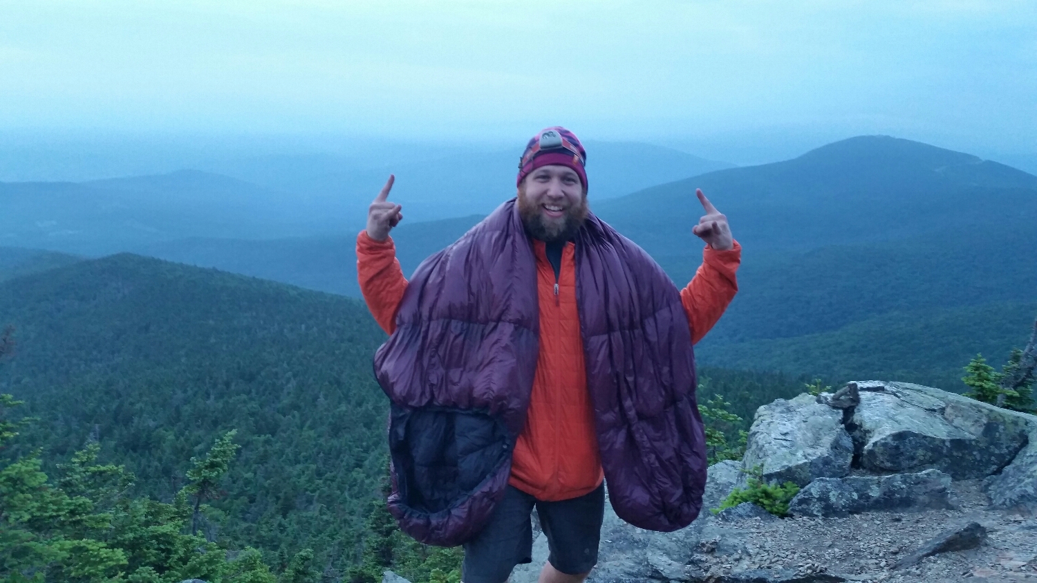
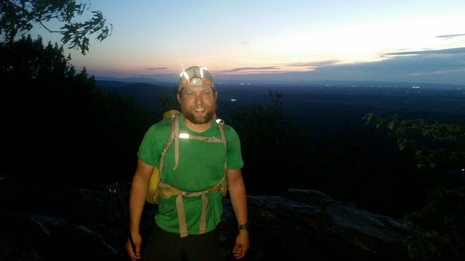
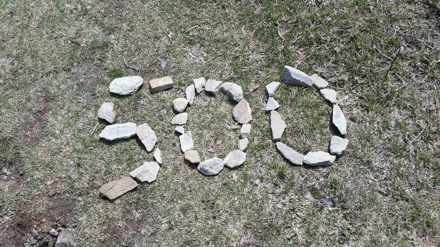
Coming down Katahdin, Thru Hiker #200. August 8th 2015