On 4/5, I did 18.3 miles to Newfound gap and hitched into Gatlinburg for the night. On 4/6 I did 15.6 miles from Newfound Gap to Tri-Corner Knob Shelter. On 4/7, I did 18.4 to Standing Bear Hostel just outside Davenport. On 4/8, I did 20 miles to Walnut Mountain. On 4/9, I did 13.1 miles to Hot Springs, NC. On 4/10, I did 19.6 miles to Little Laurel Shelter. On 4/11, I had a great day of hiking and did 22 miles to Hogback Ridge Shelter
After all the shenanigans with the hypothermic guy, Proudfoot and I pushed on the next day to Clingmans Dome. The approach to Clingmans was a lot of fun since the forrest significantly changed as we gained elevation. Typically when you gain elevation the trees become smaller, but as we climbed the trees got larger, which blocked out the sunlight making it feel like dusk during the late morning. The AT intersects the Clingmans Dome trailhead that is used by park visitors who drive up to the top. It was a slight shock to come out of the forrest to throngs of tourists on Sunday morning, especialy after being surrounded by dirty hikers all week. Clingmans Dome is the highest point on the AT, so technically it's all down hill from here. After going to the top of Clingmamns Dome we decided to push for Newfound Gap where we heard through the grapevine there were trail angels. When we arrived to Newfound gap there was a party! There were several vehicles setup serving all sorts of food and drinks, and a lot of the thru hikers were taking extra long breaks to soak up the sun and some extra calories. Beth and Bernie were two of the trail angels who drive up from Florida every year to support the thru hikers, and we ended up hitching into Gatlinburg with them. Gatlinburg is a giant circus, the little bit of shock I experienced at Clingmans Dome, was nothing compared to walking the streets of Gatlinburg, we felt very out of place and I was anxious to leave town as soon as I got in. Like any good thru hikers we were able to resupply, find a buffet, and a brewery. We hitched back out of town the next morning, if I never make it back to Gatlinburg I will be okay.
4/6 was cold and rainy and unfortunately we were walking through some of the most beautiful parts of the smokies but couldn't see more than 100 feet out from the ridges. The shelter was full, but thru hikers have special priviledges to set up tents in the smokies if there isn't room in the shelters. So on a plus side I found out my tent can handle a serious storm while keeping me dry, so that really helps boost confidence on the trail. The next day's forecast was calling for storms all day, but we caught a break in the morning and had clear skies. I was able to take in the surroundings as I watched a thunderstorm roll in. The thunderstorm came in faster than I expected so I ended up having to outrun it and get over the ridgeline before it struck. I took off running for the top of Mt Cammerer and I made it just over the ridge as a firework show of lighting and thunder erupted behind me (my poles are carbon fiber and my pack is frameless, if I had a lot of metal on me I would have sheltered). I threw on my poncho (still glad I did not burn it) and walked down the mountain in one of the first cool Spring Showers. At the bottom of the mountain was Davenport and the edge of the Smokies. I think I'll come back and do this section of trail again someday and hope for better weather and less drama.
Going in and out of the smokies has led to a lot of elevation gains and drops, it not uncommon to be at 1,400 ft in the morning and then be at 5,500 feet above sea level by lunch. The general rule of thumb when hiking is the temperature will drop 3.5 degrees Fahrenheit for every 1,000 feet of elevation gain. The change in temperature due to elevation allows me to still experience winter on the ridgeline and early spring in the gaps.
After leaving the smokies, we decided to check in at standing bear hostel to dry our gear out. There's not much to say about the hostel other than I'm glad I woke up with both of my kidneys. Proudfoot and I got another headlamp start at 6 am the next day. Ever since the beginning of the smokies we have basically been walking the Tennessee and North Carolina border, if we get water on the east side of the trail we are in NC, if we get water in the west side of the trail we are in TN. We met up with a motley crew along the trail including Yogi and his dog BoBo, shit-to-do, south paw (she broke her arm in the smokies and is walking with a cast) and wobbles. We got to the base of Max Patch when we ran across a trail angel who was serving beer and oranges, to take up to the bald, so naturally we had to oblige. It was a beautiful bald and hard to imagine it was covered in snow four days ago. The crew danced across the mountain top as if it were in the Sound of Music, I just wish I had a frisbee.
The following day we were going to take a nero (near zero) in Hot Springs, where the AT actually goes down mainstreet. I use to drive through Hot Springs once or twice a year on my way to Mount Mitchell to do some backpacking in the black mountains, so I was familiar with the town. I guess I got excited when I turned the ridgeline and could see the town because I cinched my backpack straps tight and ran the last 6 miles into town. I ended up staying in an old mansion and slept in the same room where Earl Shaffer slept in 1948 (he was the first person to hike the entire trail at once). The town was very hiker friendly and I'm glad we did not take a zero day there or I might not have left. I made sure i filled up my water in town before I hit the trail sincs a lot of the water in the area has a high sulfur content from the hot springs. About 4 miles outside of town is an AT bridge that goes over US 25 / 70. On all my trips to Mount Mitchell, I always looked at that bridge and thought "someday". I never would have thought that someday would have been today. There is another bridge I used to go under when traveling back and forth to DC, I am looking forward to crossing that bridge as well in a month.
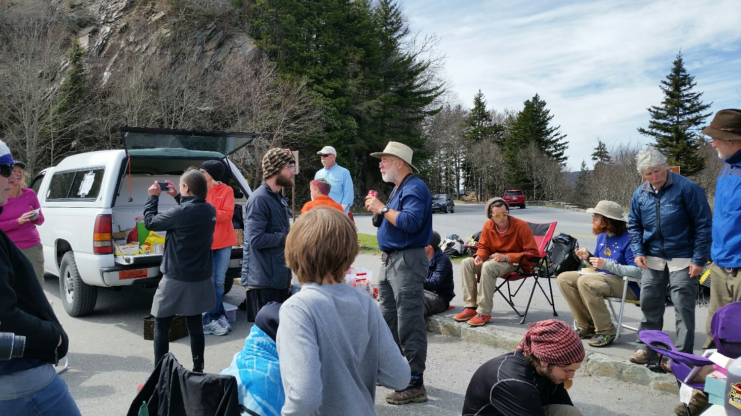
Trail Angels at Newfound Gap on Easter
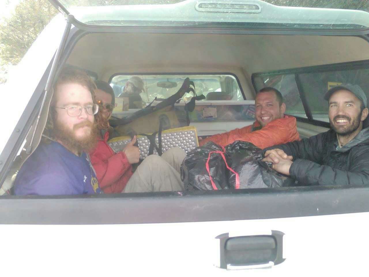
Jersey Girl, HoBo, Proudfoot and myself getting a ride into Gatlinburg,
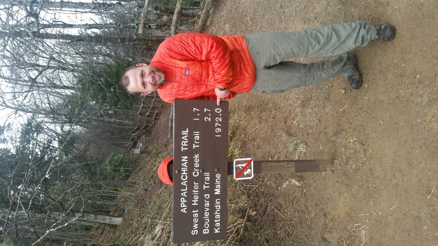
Just 1972 miles left to Katahdin
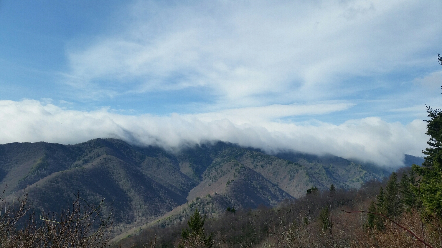
The smokies before the storm rolled in
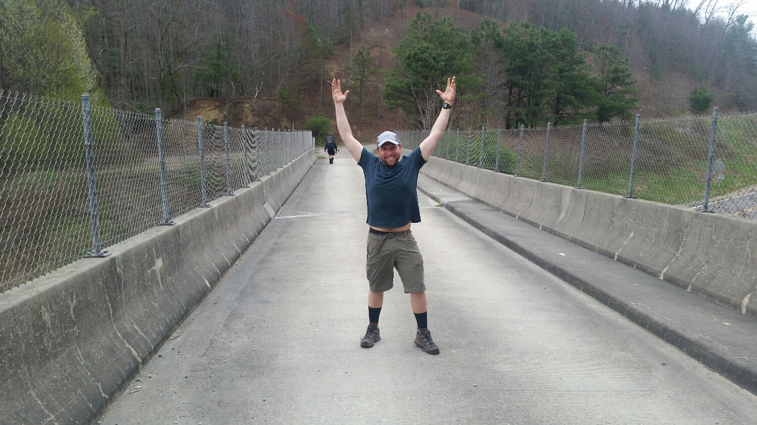
Crossing Over US 25 / 70 (Hawk in the background)
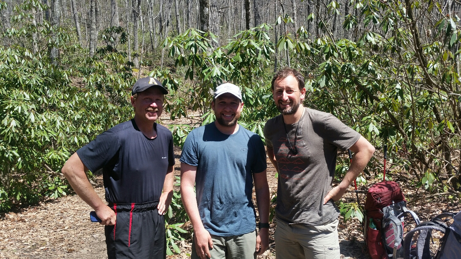
Hawk, Samson the Bear, Ten Speed
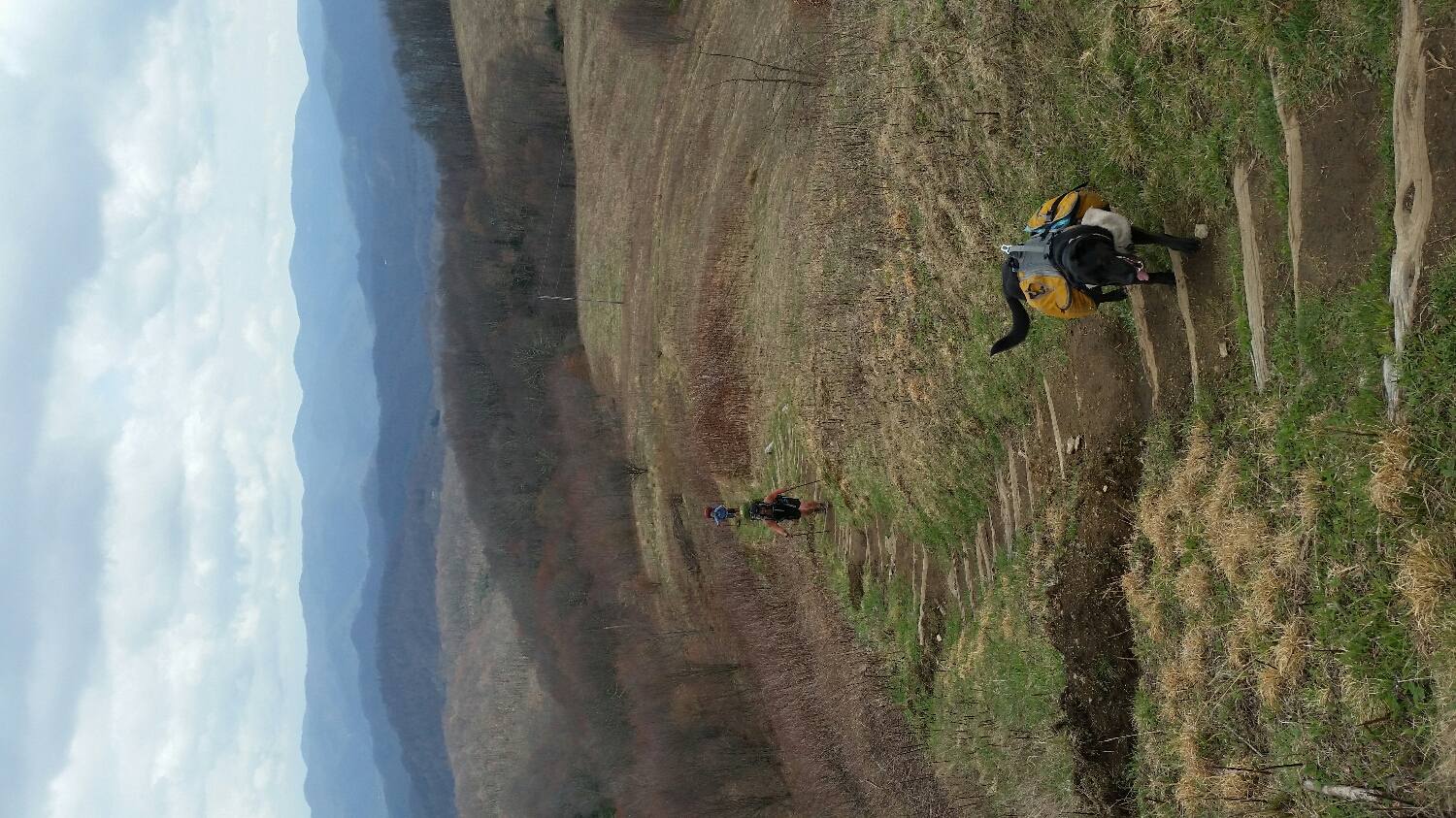
Bobo the dog, Yogi and Proudfoot hiking up Max Patch
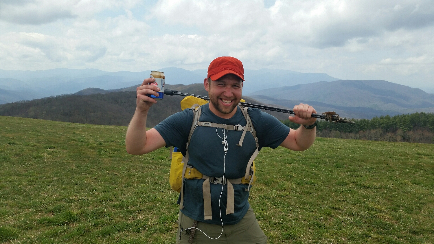
Just another day in the AT