Okay so here is the deal, I haven't updated my blog for almost a month and a half, I am going to let you in on a little secret, I summited Katahdin August 8th. I hadn't posted anything because to be honest I was so freaking tired that I became a robot that just slept, ate, and walked. My body finally had had enough and when I woke up every morning it felt like the gravitational force of the earth doubled on my body (okay I might be a little dramatic) and the terrain got epic (in a good way) but the last thing I wanted to do at night was type my blog on my tiny little screen while thinking of witty things to say... my bad... so sorry for the delay and I hope you all like my last two blog posts.
On 7/17 I traversed the first half of the presedentials and did 19.1 Miles to Lake of the clouds hut. On 7/18 I did 10.1 Miles to Osgood Tent Site. On 7/19 I did 10.6 miles to Carter Notch. On 7/20 I did 15.2 miles to Gorham, NH. On 7/21 I did 16.5 miles to NH-ME Border. On 7/22 I did 14.3 miles to a stream. On 7/23 I did 20.7 miles to South Arm rd. On 7/24 Id did 17 miles to Sabbath Day Pond. On 7/25 I did 9.4 resupplied at Rangeley. On 7/26 I did 10.7 Miles to Poplar Ridge. On 7/28 I did 16.5 to Avery Memorial Campsite.
So last I spoke to all of you I was heading into Franconia Notch. I walked into the towns of North Woodstock, NH and Lincoln, NH. I wanted to resupply in town and keep moving on. In town we used our Hiker senses and found a brewery. Frizzle didn't want to go back out on the trail and was very adamant we drink a few beers and think about going back out, she knows me too well and after a running down the tap list, it was an easy decision to stay in town, The only problem was there was no great place to stay in town, except for a free hostel, which he had heard from other hikers was a unique experience but not necessarily the most clean and relaxing environment. I happened to see a sign for a hostel that was going to open up the next day. I ended up giving them a call to see if they would open a day early for us. The hostel called the Notch said they weren't 100% ready for hikers but if we didn't mind a little disorganization we could come on over. Frizzle and I were the first thru-hikers to stay at the hostel, which was a beautiful converted farmhouse, we hung out with the owners until late in the night talking over beers and giving them tips and ideas for their hostel from our experiences on the trail.
There are two famous ridge walks in NH, the first is Franconia Ridge which we started the next morning after hanging out in the hostel waiting for a storm to pass by. Frizzle and I climbed Liberty Mountain to get up to Franconia Ridge. It was still a cloudy day from the storm but Mount Lafayette was actually cutting the clouds which allowed the ridgeline behind the mountain to be exposed but still in the clouds. While traversing the ridge, we ran into a group of thru hikers we were friends with (they named their group Team Struggle Bus) and hiked the rest of the day with them. To say it was epic would not do justice to the beauty of the ridge, and while I know a lot of the landscape was being hidden by the clouds, it was an awesome experience walking an exposed ridge above the clouds. As soon as we summited Mt. Lafayette we were hit by the intense weather it had been blocking, it easily dropped 25 degrees and the winds were strong enough to knock you down. We made it to Mt. Garfield that night and hunkered town from the wind in our tents.
One of the things on the trail I didn't know the logistics of were the Hut systems in the White Mountains. The AMC (Appalachian Mountain Club) is the organization that maintains the Appalachian Trail in the White mountains and runs the huts. I had heard other thru hikers call the AMC the Appalachian Money Club, since the stories told about the AMC seemed as if they were not hiker friendly and pandered to weekend hikers sporting brand new LL Bean gear who had no problem handing over $100 dollars a night to sleep in a backwoods dormitory. I was not sure how the Huts were going to treat thru hikers, but in the end have nothing but wonderful things to say about them and the staff that run them. The huts are for weekend enthusiasts who want to sleep in the back-country with basic amenities, but are very thru hiker friendly. The AT passes by 6 of these Huts and they vary in size, some can hold 20 people while the lake of the clouds could hold more than 80 people. The huts are either on the trail or very close to the trail and hikers are welcome to stop by the huts to take a load off, refill water bottles and if the hut has any left over food they let the hikers come in and eat the scraps. They also offer work for stay, where they give you some chores to do, and you can eat a full dinner in the hut and sleep on the floor of the dinning room. I didn't plan on doing any work for stays but in the end, I ended up doing work for stay in four of the huts. It was nice getting the extra calories from the food, and gave me an excuse not to have to do huge miles through the white mountains (which at the time I thought was going to be the hardest part of the AT).
I mentioned before that Franconia Ridge was one of two epic ridge walks on the trail, the other one is the presidential traverse (both are located in the White Mountains). Frizzle, Tropical and I woke up at 4am to start the traverse from Zealand Hut, it was going to be a 19 mile day over some of most beautiful terrain. We made it 6 miles to crawford notch where we all decided it would be a good idea to have a beer on top of Mt. Washington that night. Unfortunately we got to crawford notch at 7am and there was little to no traffic to hitch into town to get a six pack, but we were determined to crack one open on the mountain. There was a town in both directions so Frizzle and Tropical stood on one side of the road and I stood on the other side of the road trying to get a ride to a town. A truck ended up pulling over for me and I jumped in, it was a former thru hiker who took me to a general store, waited for me to get the beer, and then drove me back to the trail head. Frizzle and Tropical didn't even see me get picked up and when I returned to the trail 11 minutes later with cold beer they were ecstatic, in fact we are pretty sure I set the world record for fastest beer run on the Appalachian Trail. With our packs slightly heavier we started up the first mountain, It was a pretty steep ascent but once we got to the top the views were breathtaking. I took a bunch of pictures but none of them do any justice to the grandeur of the vistas. There were a dozen mountains in between us and Mount Washington and every time we got to the peak of one of those mountains, we could see Mount Washington getting bigger and bigger. It was an exhausting day, but we were full of so much adrenaline we couldn't be stopped. There was a hut near Mount Washington called Lake of the Clouds where we spent the night. My initial game plan was to set my pack down at the hut, do my chores and wait till dark to climb Mount Washington naked. Don't ask me why I wanted to do that, it seemed like a good idea, and since I have climbed it over 10 times in the middle of January or February, I thought it would be fun to do it without any clothes on. Unfortunately a storm front was coming in, so we decided to summit that evening and try to get a view since we knew we would be in the clouds the next day. Since we were going to climb it in the evening I couldn't go in my birthday suit, so I had to go in my underwear instead. We got to the top of the mountain and drank our precious beer on top of it. I have driven up to New Hampshire numerous times and summited Mount Washington in some extreme weather, but this time it was different, I was no longer visiting the top of the mountain, this time I felt like I belonged up there.
The whites are known for their volatile weather and the next morning we couldn't see 20 feet in front of us. You learn on the trail that you will never see every view, I was so happy we had gotten the first half of the presidential range on a beautiful day since the second half of the presidentials were completely socked in, it was actually pretty eerie, since you could hear voices but not see the people, and Frizzle and Tropical could appear and disappear in the fog in a blink of an eye. Frizzle and Tropical decided to stay at Madison Spring Hut and I wanted to push on to Osgood Tent Site, so we said our good byes and I pushed on through the fog by myself. Everything turned out just fine, but as I was hiking up Mount Madison by myself, I couldn't help but think I made a mistake since the trail was hard to fine and I was completely exposed and if I got turned around, there was no place to setup a tent since the entire mountain is just a boulder field, but I managed to stay on course and made it down into the valley and slept at Osgood. I woke up the next morning and took down the trail and did something I had never done before... I got lost. The Whites are a poplar destination, and with that there are a lot of trails crossings. I was in a wilderness area with little trail markings and managed to take the wrong junction and ended up traveling west when I wanted to travel east. After about 2 hours in the wrong direction, I knew i wasn't on the AT anymore, but also wasn't sure where I got off of it, and since there were so many trail crossings, I wasn't even sure I could backtrack the way I came, so I figured I would keep walking, until I ran into a point of reference. I walked another hour and a half, hoping that I was paralleling the AT somehow and came across a campground. I found some campers and told them I was looking for the AT, they just looked at me like I was an Idiot. I then asked them if they knew where Pinkham Notch was (I always started my climbs of Mt. Washington at Pinkham Notch, and knew it was on the AT). They told me Pinkham Notch was about 16 miles away (it should have been 4 miles away from Osgood). My heart sank, since not only was I really far away from where I wanted to be, I wasn't sure exactly how to get back to the AT. I asked them how they got to the campsite and they said there was a gravel road 6 miles off of NH 16 they took to get here. I was in luck since I knew Pinkham Notch was located on NH 16 (it is nice to be lost in an area you are familiar with) I didn't want to walk 6 miles on a gravel road to NH 16, so I asked them the general direction of NH 16 and bushed wacked it to the road which was only about a mile through the woods. After fording some creeks I could hear cars and poped out on the side of the road. I stuck out my thumb and the first car stopped and picked me up, and took me to Pinkham Notch. I grabbed some grub at Pinkham and pushed on to carter Notch. Pinkham to Carter is only 7 miles away, but it may have been the hardest 7 miles on the trail, you are no longer hiking, but instead you are climbing, pulling yourself up rock faces and scrambling up the sides of the mountains. I still managed to get to Carter Notch while it was light out and sat and read a book in one of the most peaceful places along the trail. If you get a chance google Carter Notch, none of the pictures I took turned out that great, but it was certainly a magical place.
After Carter Notch I pushed onto Gorham, NH and resupplied in town. The next day I made it to the border of Maine and set my tent up on the state line. I was excited to be in my last state. I had already walked over 1,900 miles, and just gone over the famous Presedentials, I had seen everything the trail could throw at me, I was trail hardened and ready to stroll through the last state.... man was I wrong.
Franconia Ridge
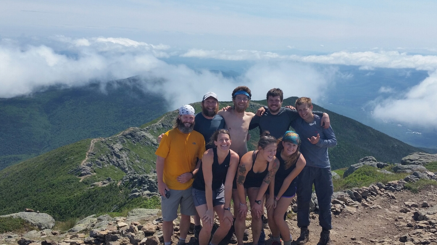
Front Row L:R Frizzle, Sugar Magnolia, Crafty Back Row L:R Wookie, Samson-the-Bear, Bilagio, Uphill, Six Strings
Above the clouds on Franconia Ridge
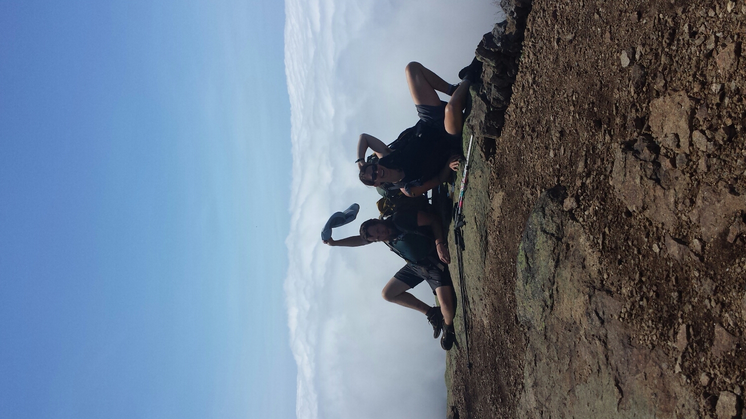
Frizzle and I modelling, the best part of it was trying to get back up with our packs on
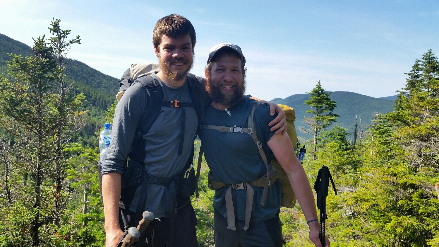
UpHill and I after Mount Garfield
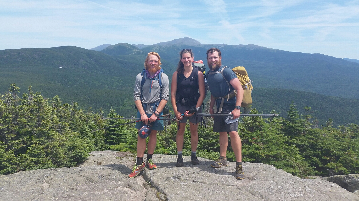
Tropical, Frizzle and I with Mt. Washington in The Background

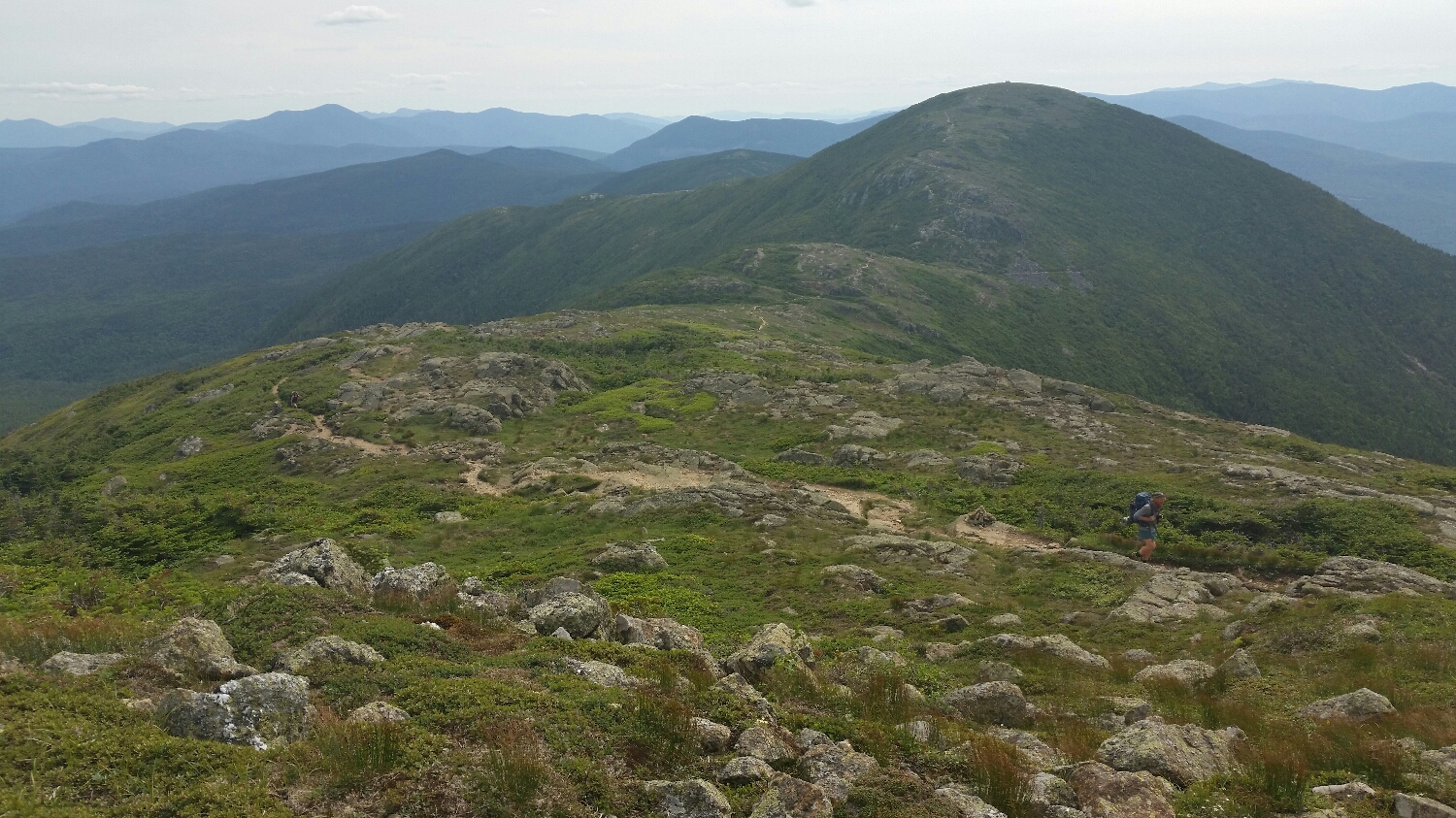
Heading towards the presidentials things started to get fun
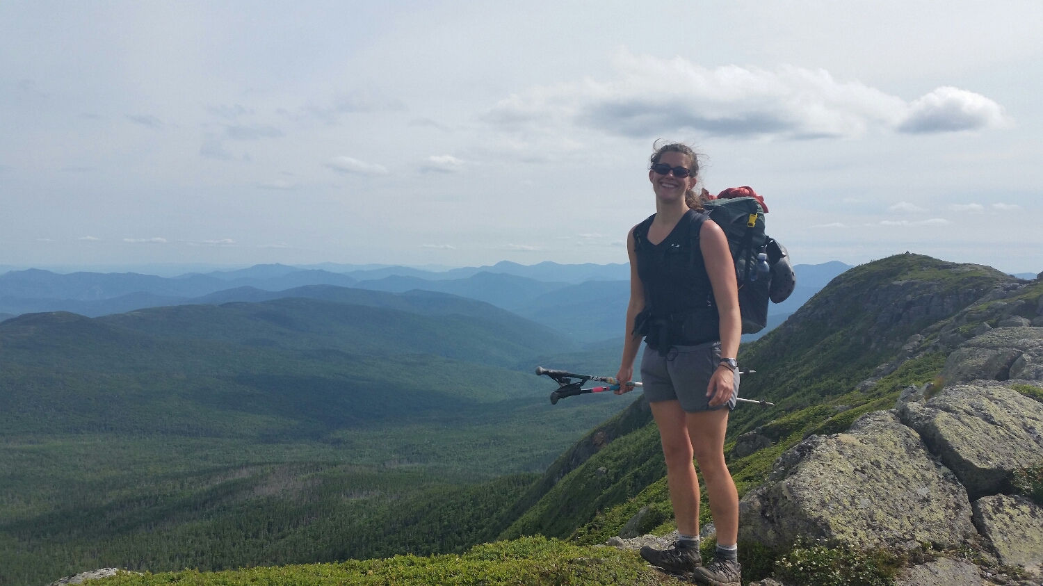
Feeling good, right before we hit Mt. Washington
If you look close enough you can see Tropical and Frizzle with Mt. Eisenhower in the distance
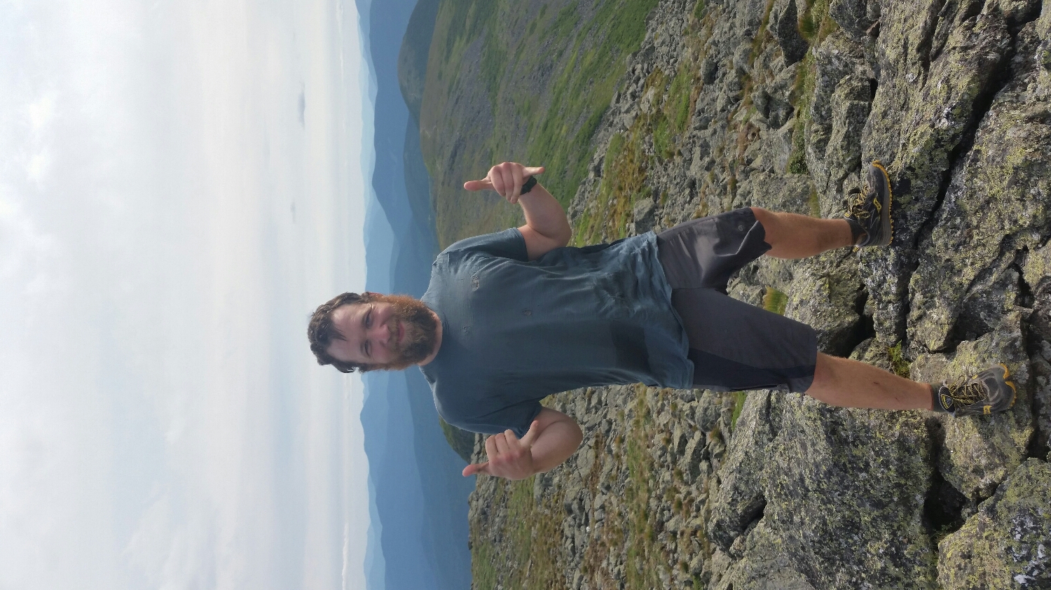
Frizzz Nasty!
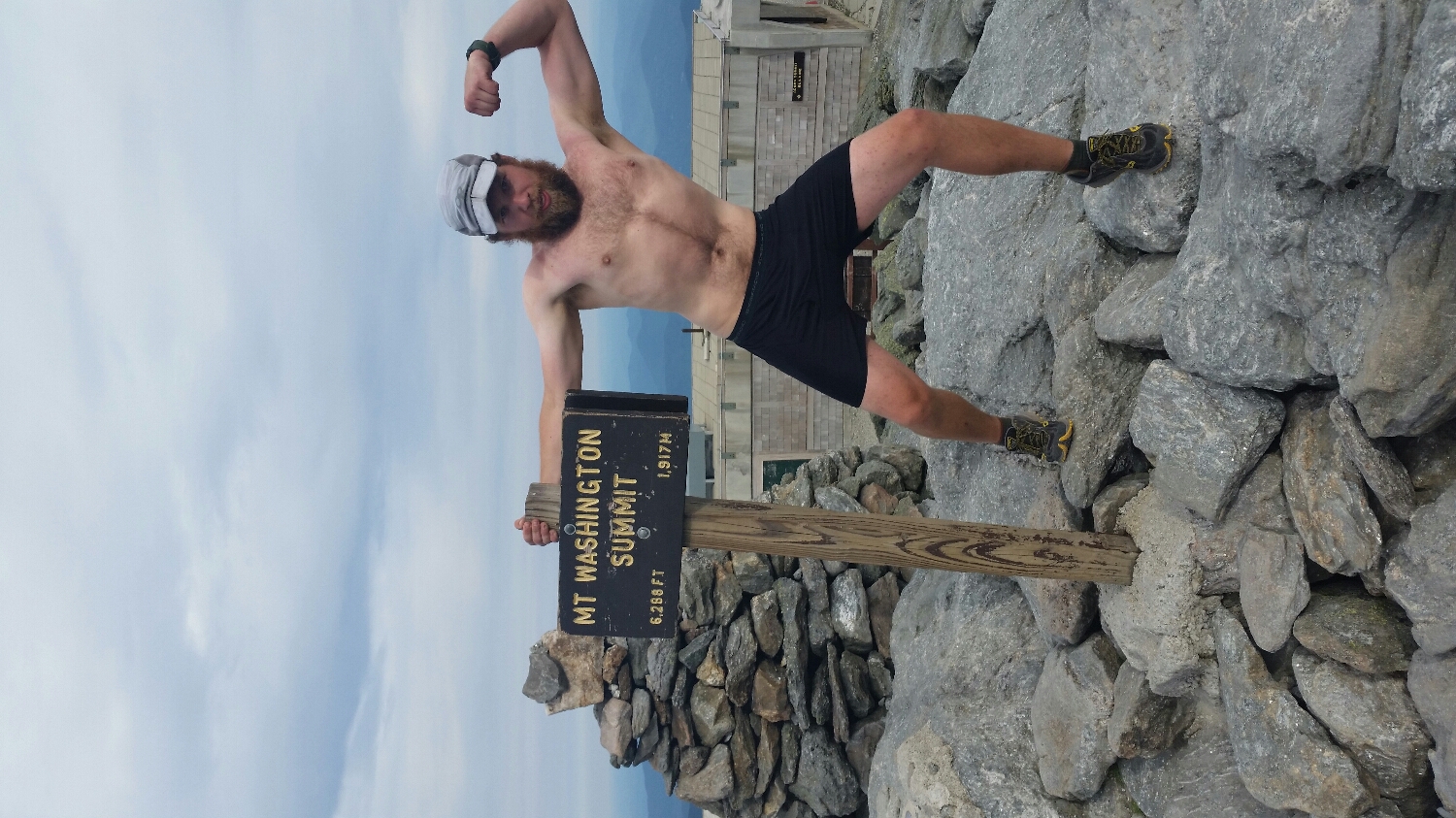
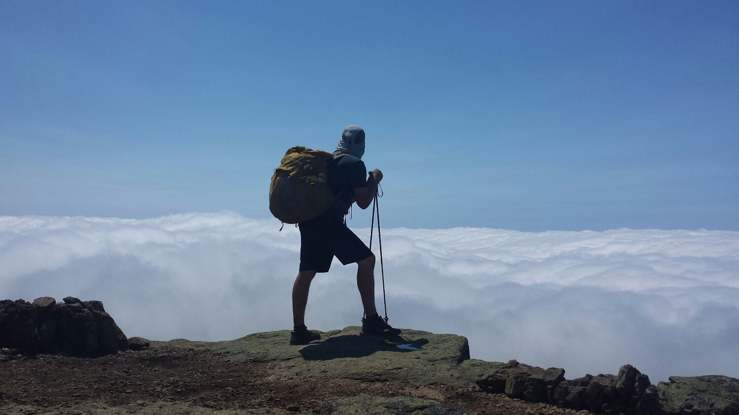
I wanted to Hike Naked but this will have to doT
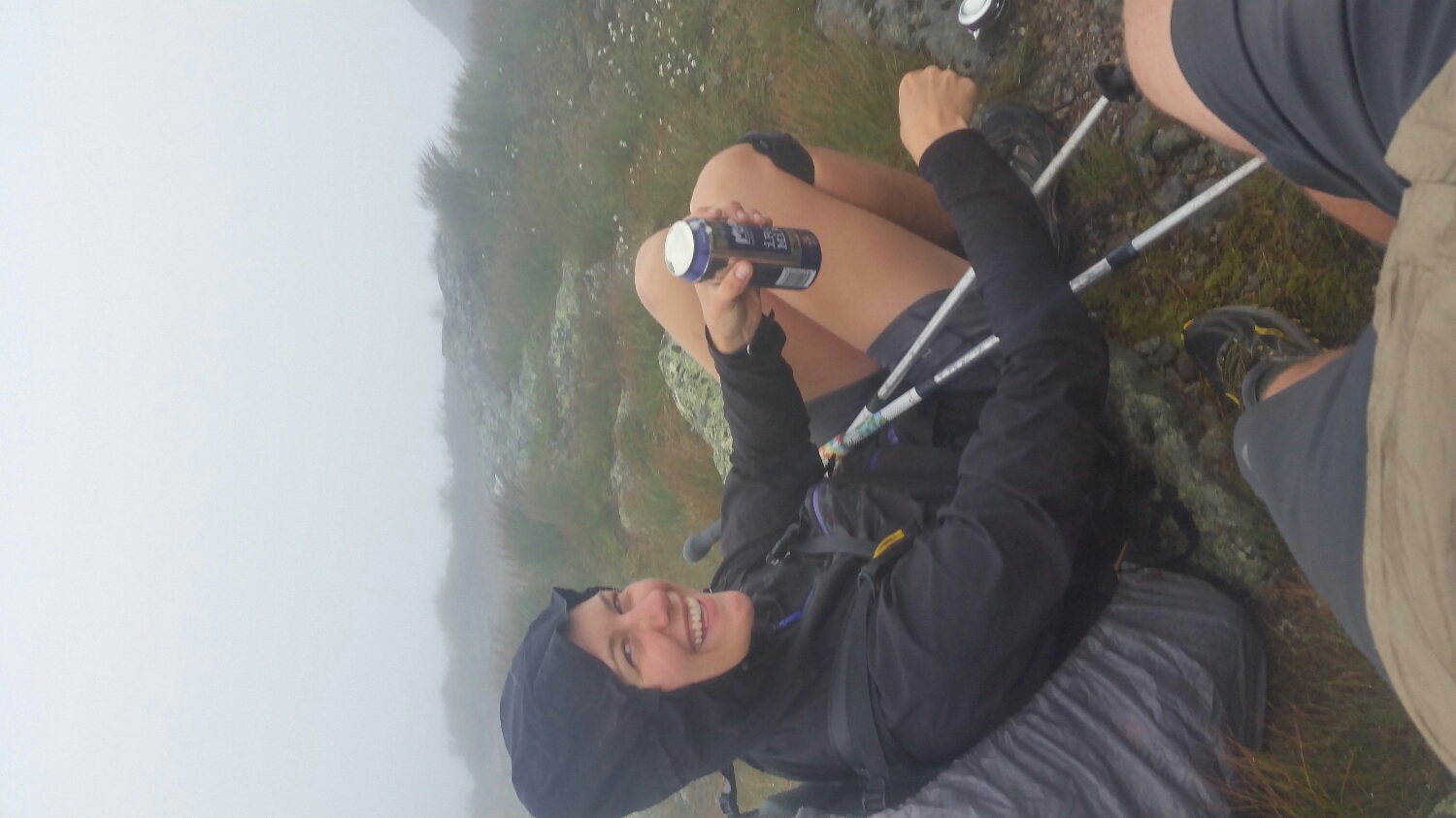
The day after Mt. Washington was nasty, better drink a beer
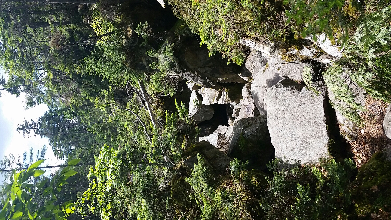
Mahoosucs Notch was something else