Sorry it has been a second since my last post. SketchPad and I got into a vicious cycle of crushing miles, eating and sleeping with little time for anything else. Finally, I managed to find some time for an update.
On 8/2 we did 19.9 miles to a campsite past Soapstone Junction and slept at 6,424 feet. On 8/3 we did 24.8 miles to a seasonal creek and slept at 6,650 feet. On 8/4 we did 26.4 miles to a campsite past Bloody Run Junction and slept at 7,300 feet. On 8/5 we did 23.9 miles to a saddle overlooking Etna, CA and slept at 6,939 mile. On 8/6 miles we did 27.5 miles to a creek in Marble Valley Wilderness and slept at 5,729 feet. On 8/7 we did 25.7 miles to Grider Creek and slept at 1,704 feet. On 8/8 we did 25.9 miles to a spring above Seiad Valley and slept at 6,731 feet. On 8/9 we did 25.8 miles to a Campsite just North of the CA/OR border. On 8/10 we did 24 miles to Callahan's Lodge spur trail junction and slept at 4,481 feet. On 8/11 and 8/12 we zeroed in Ashland, OR. On 8/13 we did 16.1 miles to the middle of nowhere and slept at 4,685 feet. On 8/14 we did 25.7 miles to the border of Rogue River National Forest and slept at 5,341 feet. On 8/15 we did 25.2 miles to Christi's Spring and slept at 6,297 feet. On 8/16 we did 27.3 miles to a campsite north of Stuart Falls trail junction and slept at 6,408 feet.
Just after seing the hotshots we ran into our first Southbound (SoBo) hiker. Normally when we see hikers coming the opposite direction they have huge packs, are wearing boots and looking at maps which is a dead give away they are just walking a short distance. This time the hiker we saw coming the other way was moving fast with a small pack and looked filthy. I figured it was a Northbound (NoBo) hiker who took a wrong turn out of camp, but when I stopped to talk with her she said she had started at the Canadian border. There are not many SoBo hikers since their hiking window is very small. They cannot start until early July and even sometimes that is a risk since the snow may have not fully melted in the Cascades and then they have to be out of the Sierras (1,900 miles from Canada) by October 1st. On top of that, once they hit the desert, the few water sources we had, have dried up and the waterless stretches are more frequent and larger. The few SoBos we have seen looked pretty beat already since they are forced to do such large miles from the start of the trip.
We hit a major milestone on our journey on August 9th, we finished the California Section of trail after 1689.17 miles (but who is counting). It was by far the most meaningful milestone we have hit. While the centenial mile markers are cool we end up passing them about every 4 days now. The CA/OR border was a huge sign of accomplishment, having survived the desert, the High Sierras and Northern California we are now entering into the Pacific Northwest. When I hiked the Appalachian Trail last year, crossing state borders was a huge deal and you got to do it 14 times. On this trail we only get to do it 3 times, making it even more significant.
A few days into Oregon we hitched into Ashland. We took a nero and a zero in town. While most would assume we relaxed the whole time, the reality is we were on our feet for the entirety of it and barley had time to grab a beer. Most of the PCT through Oregon does not go near towns. Since town stops would be difficult, we had to plan out our food resupply and purchase all of our food in Ashland for the entire state. We spent our time in Ashland running between gear stores, food co-ops, grocery stores and then mailing out boxes to small recreational areas and camps we could get to from trail.
Our food has varied throughout the trip. We ditched our stove after the Sierras and have been eating cold dehydrated food. This saves us from having to carry the weight of fuel and a stove and makes the logistics of finding fuel no longer a problem. We have experimented with a lot of different foods, but at the end of the day if the food doesn't taste good, then we haven't been hiking hard enough... and lately the food has been delicious.
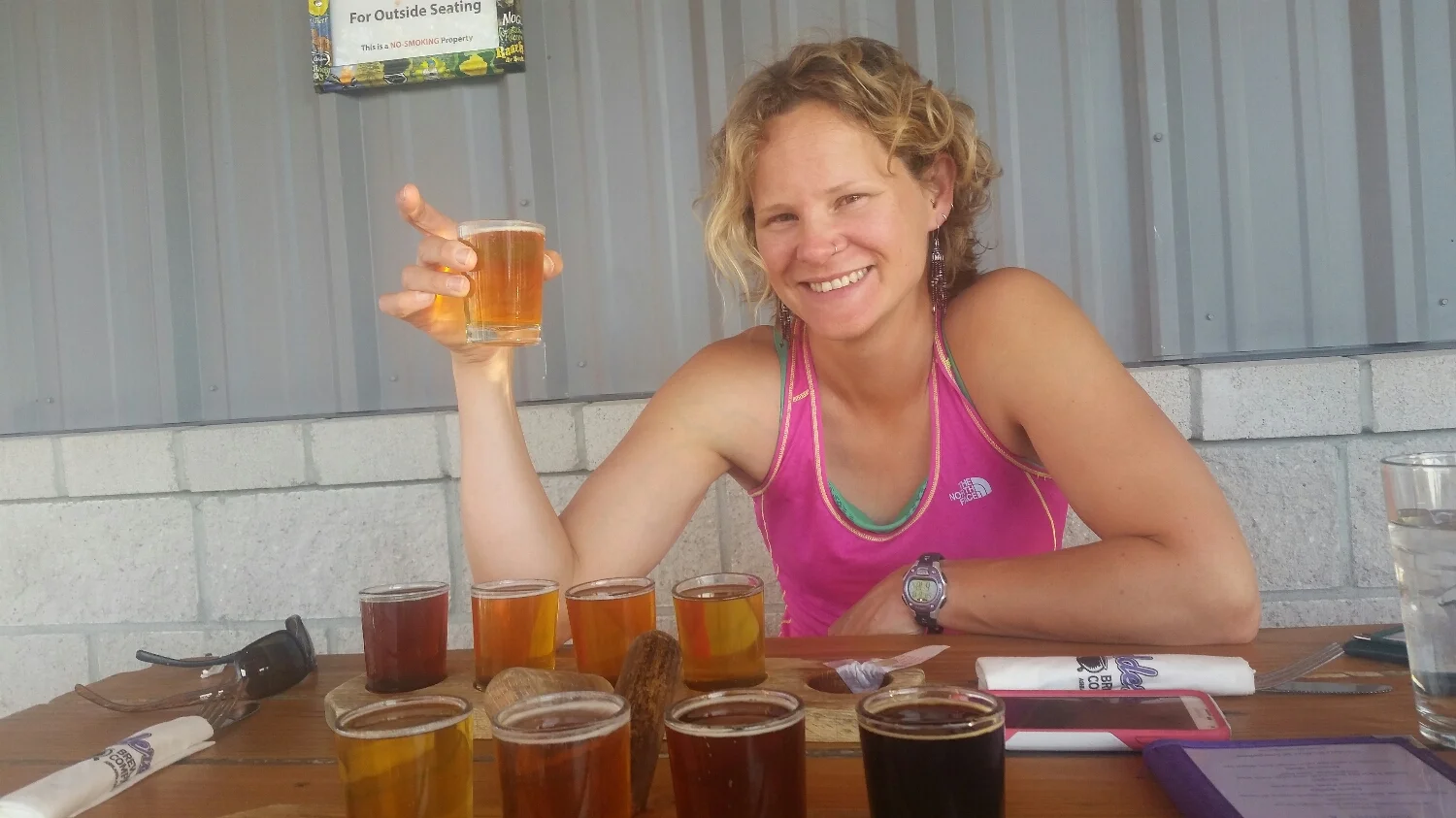
A short but delicious break. Nothing knocks miles off of your feet like good beer.
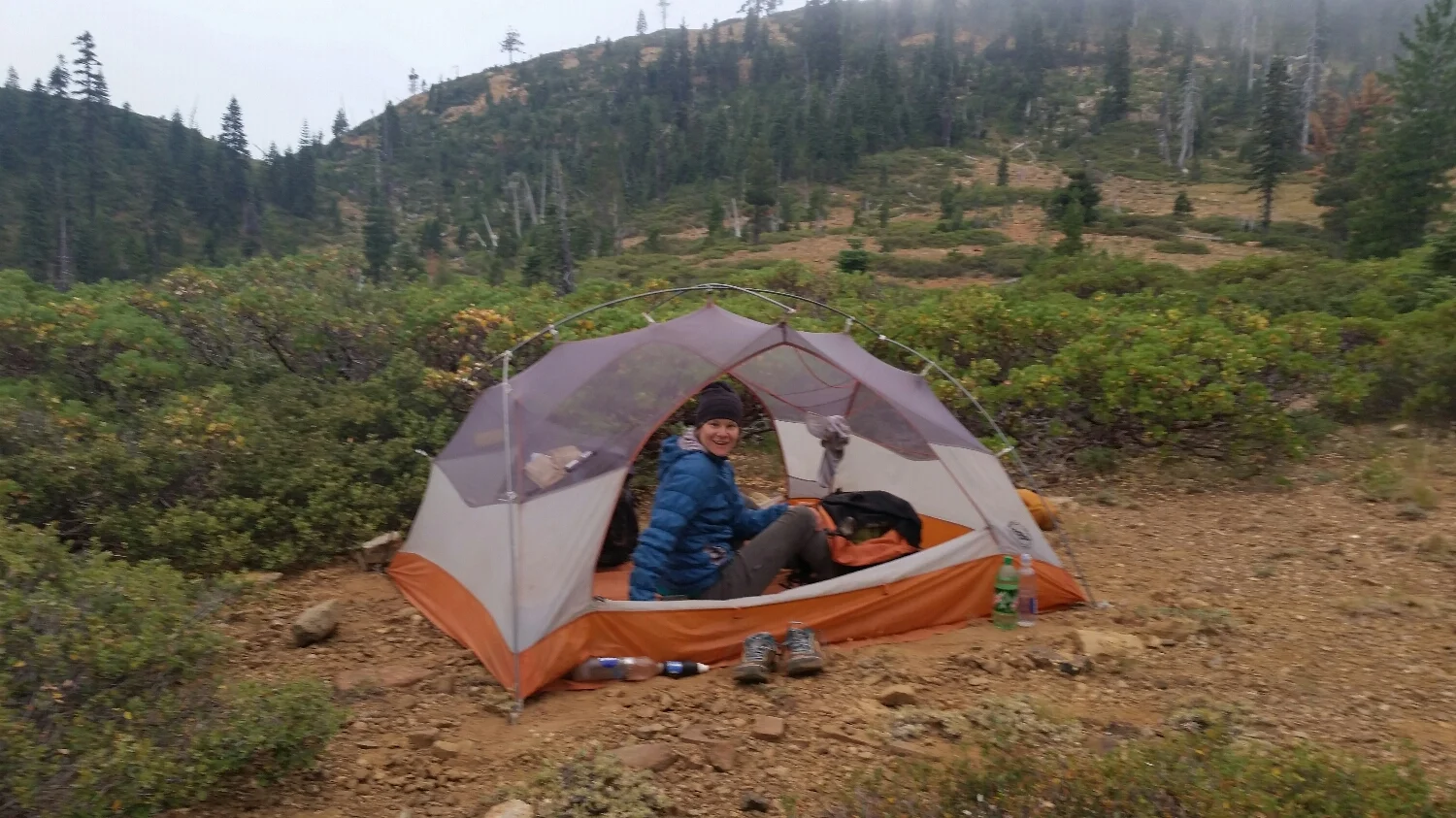
Getting to camp early was our reward for a hard climb out of Seiad Valley
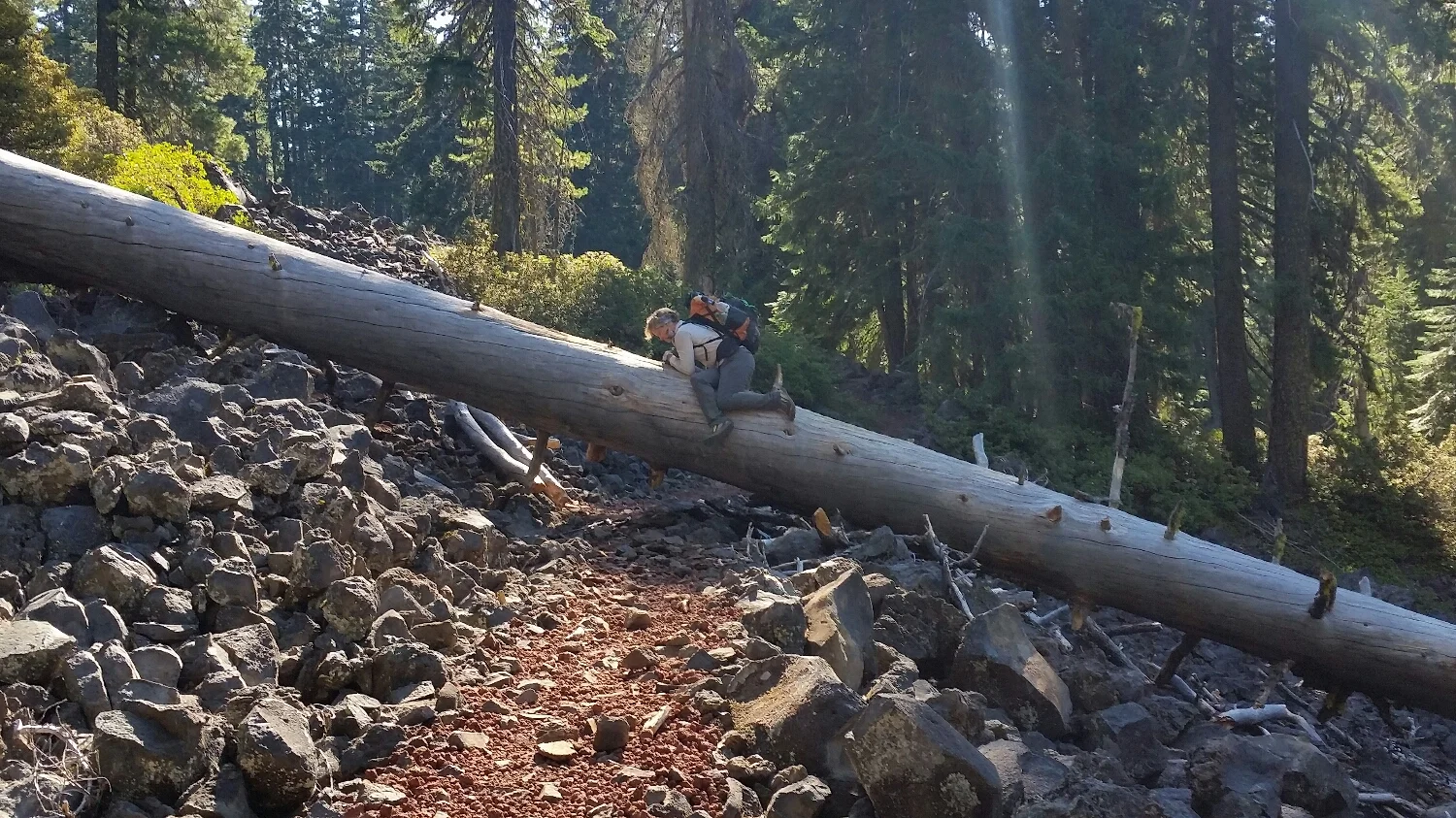
Sketchpad is as graceful climbing over blowdowns as a drunk sailor is at ballet.
Storm chaser and Samson the Bear leaving Marble Wilderness in the morning
It does not even look real
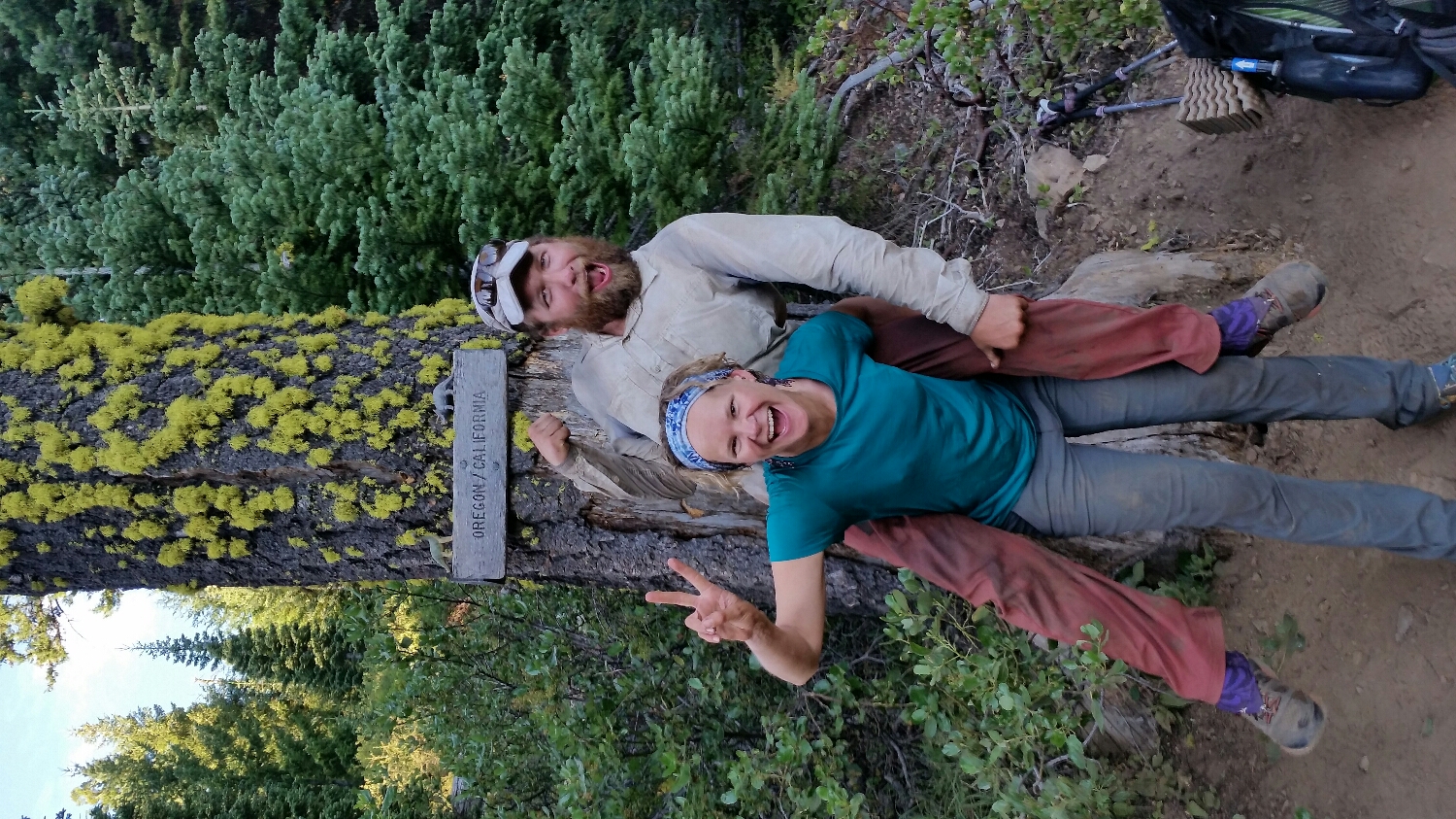
After 1689 miles we made it to Oregon!
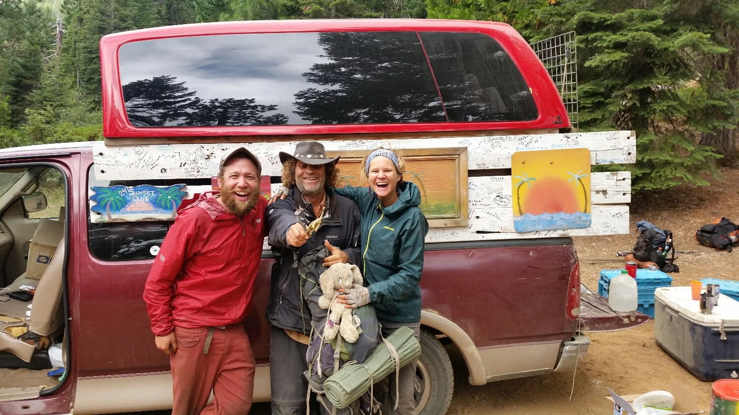
Legend providing Trail magic
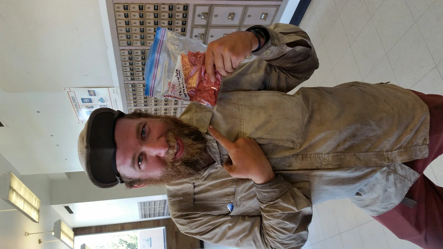
Our good friend sent us a care package. That bag is an entire dehydrated watermelon!
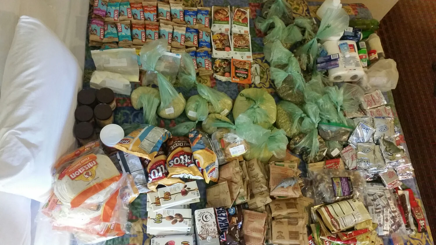
This is all of our resupply food the entire state of Oregon. Over 90 dollars just in cliff bars.
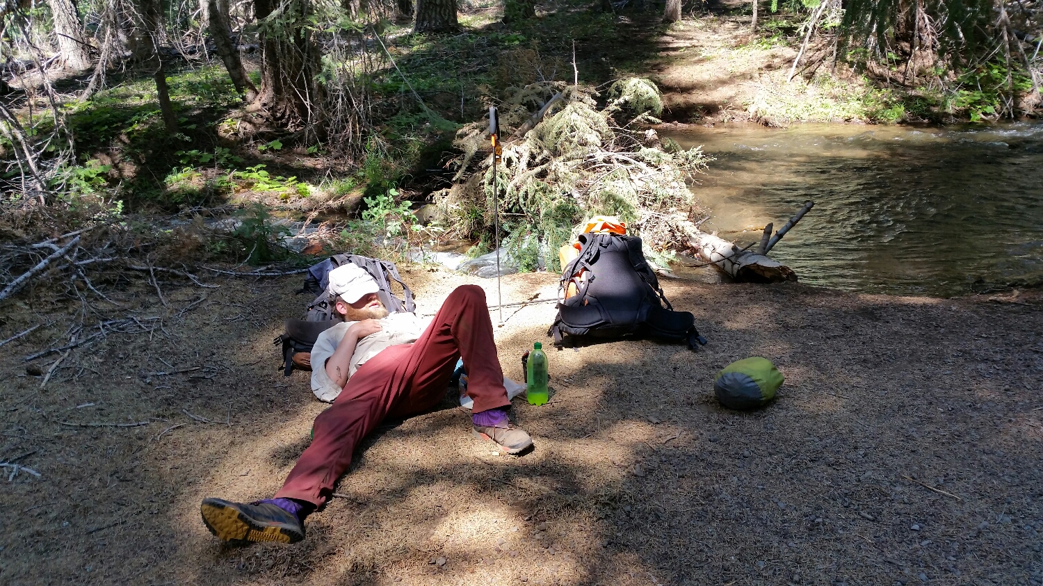
Snoozing by the river after lunch. I highly recommend it.
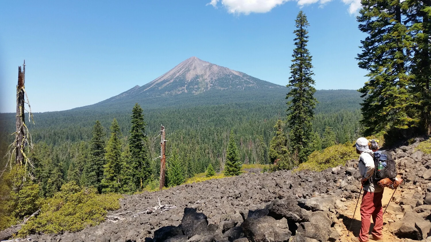
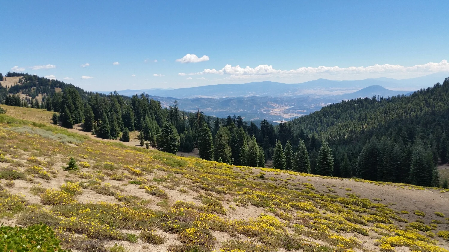
Mt. McCloughlin
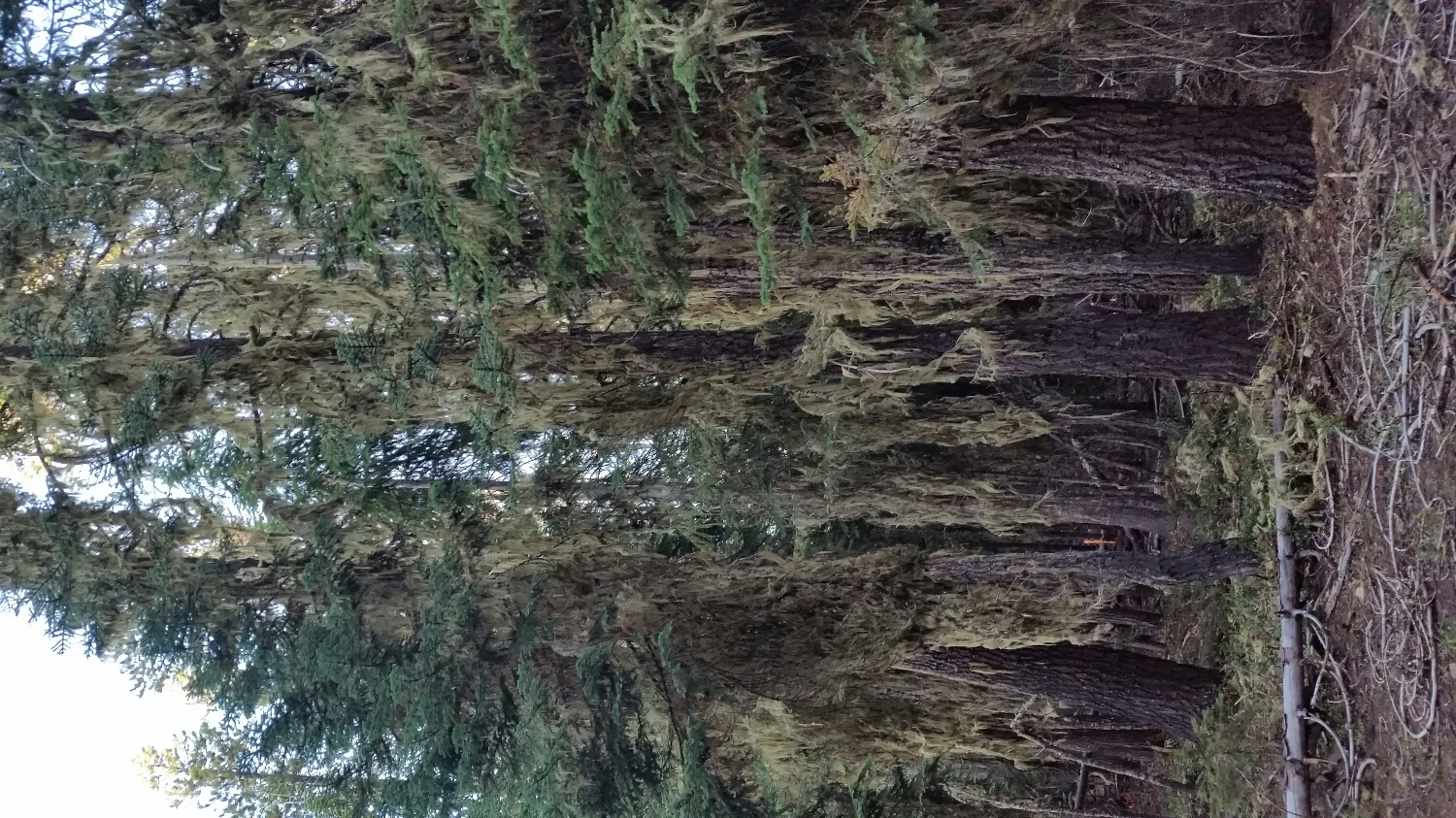
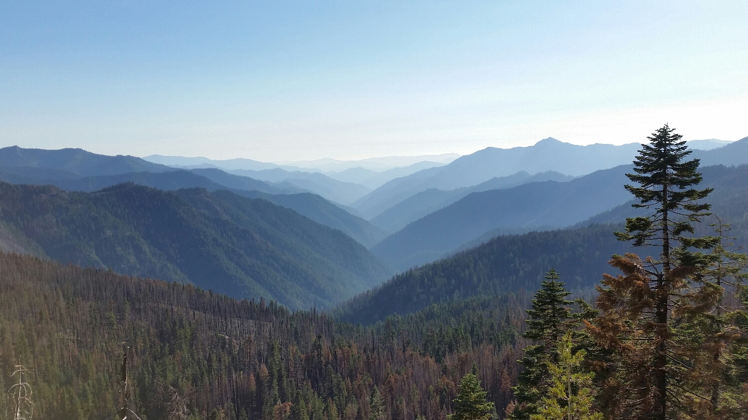
The forests in Oregon do not look healthy. Not sure what is killing the trees