On 8/17 we did 19 miles to the Crater Lake Rim and Slept at 7,671 feet. On 8/18 we did 25 miles to just after Mt. Thielson and slept at 7,184. On 8/19 we did 21.5 miles to OS Pond and slept at 5,448 feet. On 8/20 we did 21.8 miles to Lower Rosary Lake and slept at 5,725 feet. On 8/21 we did 27.4 miles to a small lake, campsite and slept at 5,681 feet. On 8/22 we did 28.3 miles to just after Hinton Creek and slept at 6,411 feet. On 8/23 we did 28.3 miles to Big Lake Youth Camp and slept at 4,773.
After our resupply in Ashland we made a four day push to Crater Lake. I knew the trail passed through the National Park and heard it was beautiful, but did not know much about it. We poped out of the woods and did our best not to get hit by a car from all of the tourists driving around the park. After risking our lives scurrying across the road we got a glimpse of the crater... holy shit... it is gorgeous! Contrary to popular belief (okay maybe just mine) the lake was not formed by the asteroid that killed the dinosaurs; but it was a mountain that erupted 7,700 years ago (there were humans around, who through oral stories actually described the explosion). The caldera collapsed after the eruption forming the lake. The lake is only fed from rain water and snow melt making it an extremely pure water source giving way to its spectacular blue water. We walked the rim trail getting nothing but awe-inspiring photos as it started to get dark. We setup on the rim and watched the sunset and a full moon rise as we cracked a couple of beers we had packed out. We sat up in the windy night watching the full moon reflect off of the lake; it is surely a night that will never be forgotten.
Once we entered Oregon we stopped seeing as many thru hikers. We are not sure if some of the hikers dropped out, or if they are hiking faster on the easier terrain and we are just not at the same pace as everyone else. At any rate, we did run into a few hikers that we have been leap frogging since the start of the trail but hadn't seen since the Sierras. It is always fun to catch old partners and see what they have been doing and experiencing for the last 1,000 miles. It's also nice to have new people to talk with since I'm pretty sure I have told SketchPad every single story and life experience I've had at least two times now.
I wasn't sure what to expect terrain-wise in Oregon. The middle 200 miles reminded me a lot of Maine with remote and pristine lakes all around and gentle terrain surrounded by very rocky and exposed features. As we pushed North we started to see our first large mountains, Mt.Thielson, the Sisters, Mt. Jefferson and Mt. Hood which are all old volcanoes. Many of the mountains have glaciers on them and we walk by their glacial melt streams. Before the first glacial melt steam we passed a SOBO hiker who told me the next stream was glacier fed. I figured she was telling me to go to the stream since it would be a good water source. It wasn't until after I filled up my bottle and my filter instaneously clogged that I realized she was telling me not to go to that stream due to the high silt content in glacier melt. I felt kind of stupid for not knowing, but its been 15,000 years since there were glaciers in my neck of woods - how was I supposed to know?
After walking under some impressive volcanoes we had the unfortunate expience of having to walk across 6 miles of exposed lava fields. Due to all of the jagged and lose pumice our speed slowed down to a little bit more than one mile per hour. The lava fields were the most desolate stretches we have walked through and provided a surreal lunar experience as we could not hear each other talk from 10 yards away due to the sound absorbing quality of the rock. We were beyond tired at the end of it, but had to put in another 7 miles afterwards to stay on track and make it to our way-point.
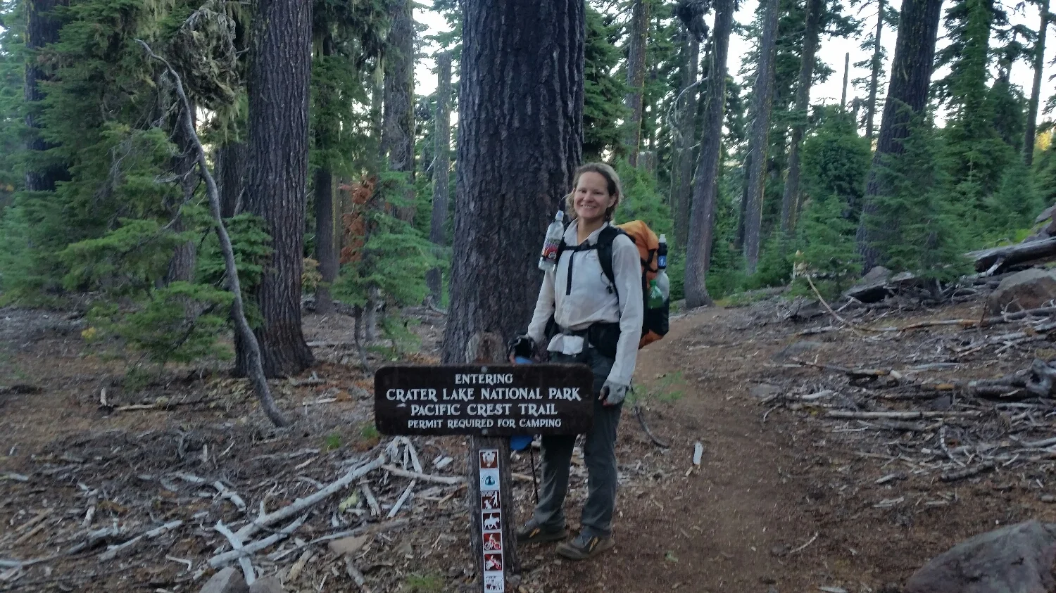
SketchPad excited to be entering Crater Lake NP
Crater lake, with wizard island shown
Good looking team
Sunset over Crater Lake
Watching the moon come up over the lake
Samson-the-Bear and Tape Boss under Mt. Thielson
Corn Doggie, Tape Boss, Samson-The-Bear, Rambler and SAS, doing some road walking after Shelter Cove
Cowboy Camping at Lower Rosary Lake
I hope my filter works, not a great water source
Rambler, SAS, and Samson-The-Bear under one the Sisters
3 Finger Jack, Mt.Jefferson and Mt. Hood in the back
SketchPad walking in the lava field
Tape Boss and SketchPad under one of the Sisters


