On 7/23 we did 15.7 miles juat past Frog Spring and slept at 6,463 feet. On 7/24 we did 26.1 miles past Soldier Creek and slept at 5,502 feet. On 7/25 we did 21.7 miles to Warner Valley Campground and slept at 5,684 feet. On 7/26 we did 27.2 miles to Subway Cave and slept at 4,363 feet. On 7/27 we did 30 miles to a small stream and slept at 3,008 feet. On 7/28 we did 17.6 miles to Rock Creek and slept at 2,927 feet. On 7/29 we did 24.1 miles to the headwaters of Moose Head Creek and slept at 5,801 feet. On 7/30 we did 24 miles to a small spring and slept at 2,421 feet. On 7/31 we did 28.5 miles to Shasta, CA. On 8/1 we zeroed in Shasta, CA.
After a long, hot and hungover climb out of Belden we reached a ridge and got our first glimpse of Lassen. You may have to Google Lassen because it's a national park not many people from the East Coast have ever heard of. It is an active volcano (last erupted in the early 1900s) which is snow covered all year long. We were able to see Mt. Lassen a few days before we entered the national park. In the park we skirted around the base of the mountain and went around sulfuric mud lakes which are constantly bubbling and steaming. There were signs posted everywhere not to go near the lakes due to the extreme danger but I didn't need a sign to tell me to stay away from a lake of boiling mud which was hard to breath around due to the hydrogen sulfide gas. Mt. Lassen was the first major land mark in Northern California. I thought the highlight of the trip was going to be going through the Sierras. It turns out it was definitely a highlight but not THE highlight. Northern California (or should I say the State of Jefferson) is a secret as almost no one talks about it. After leaving Lassen we hit the Hat Creek Rim which was a rim and valley extending over 50 miles created by lava flow thousands of years ago. Topsoil on the rim was almost non existant and I am not sure what the grasses and small shrubs were actually growing in. The landscape and fauna reminded me more of a savanna in Africa than anything I would expect to see in the United States. Hat Creek Rim is notorious with hikers because there are few trees which makes you very exposed to the sun. On top of that, it is also a 30 mile waterless stretch. SketchPad and I have impeccable timing and have hit every waterless section during a heat wave, including this one. We camped at the last water source before the rim and got up at 3:30am to get a jump on the 30 miles before it got too hot. We made it 30 miles, but it was definitely a struggle- our water bottles were bone dry the last 5 miles as we walked in silence. The rim trail was kind of gnarly, but it also gave us our first view of Mt. Shasta. Mt. Shasta is the headwater of the Sacramento river and rises over 14,000 feet out of relatively low elevation mountains. We were able to see it a week and a half before we ever got close to it. While Shasta is large and impressive, it is also demoralizing. As I write this blog I have already walked 3 weeks past Shasta and it never seems to get smaller. I feel like I have seen it from every angle on the trail and have even pulled out my compass to make sure I was heading in the right direction, since no matter how many miles we put in, it never seems to look any different in size.
There are more cool areas in Northern California but the last one I will talk about is Trinity Alps. After leaving the town of Shasta we entered into an area called the Trinity Alps. It reminded me a lot of the Sierras but just scaled down. It had exposed granite, mountain lakes, sheer cliffs and rugged terrain. On average the trail in the Sierras was at 10-11 thousand feet with peaks at 13-14 thousand feet. In trinity the trail was at 6-7 thousand feet with peaks at 9-10 thouand feet, besides the elevation differnces they were very similar. The PCT cuts through just a small slice of Northern California and I will definitely be back some time to explore the other sections in the area and summit Lassen and Shasta.
In between Shasta City and Seiad Valley we had a long climb up to a ridge. On the way up I could see smoke coming from the ridgeline from multiple spots. I figured they were doing contolled burns in the area since there were multiple columns of smoke at least 2 miles from each other... well that was wishful thinking. Once we hit the top of the ridge we ran into a hot shot who was walking down an overheated fire fighter. He told us there was a big storm the day before which had a lot of lighting, some of the lighting strikes started fires prompting the hot shots to jump in. A group of hot shots jumped in the night before and another group jumped that morning (if you are not familiar with hot shots, they are pretty badass: they are fire fighters who jump out of planes to quickly attack and control wild fires). We continued to walk down the trail after the hot shot said we were in the clear. The fires were about 400 yards above us, and as we were walking by, a helicopter joined the fight. We got to a vantage point and decided to take a food break as we watched the helicopter do laps between a lake about 5 miles away and the fire, dumping it's huge tethered bucket of water on the fire every lap. It is the closest we will ever get to a dinner and a show on trail, and watched it for over an hour.
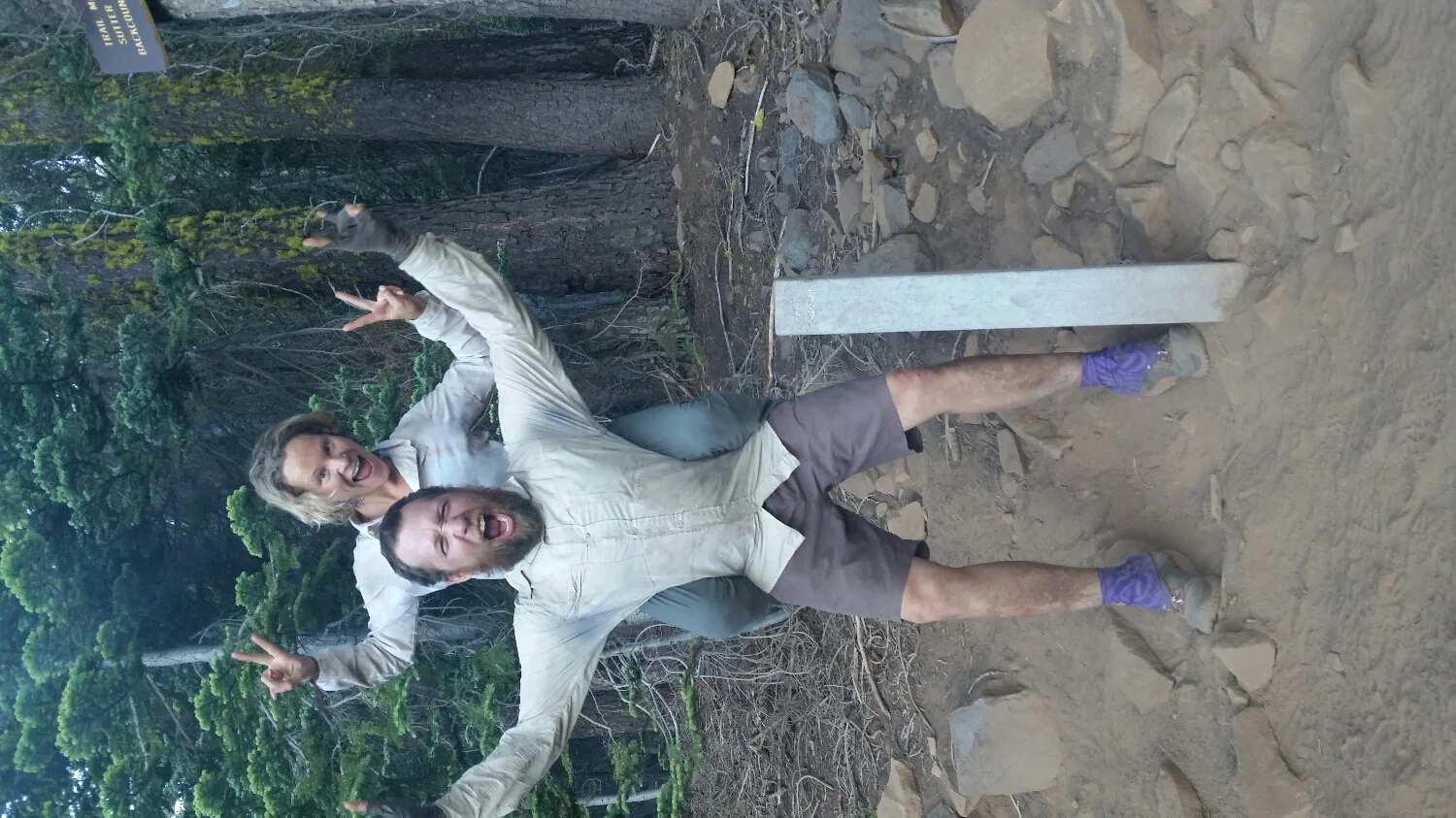
Half Way maker. 1,325 miles to Mexico-1,325 miles to Canada
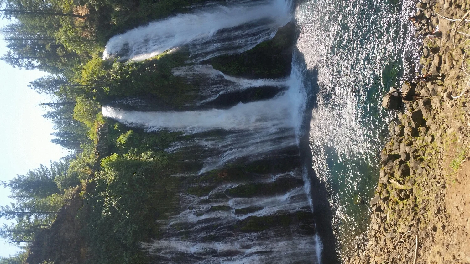
Burney Falls
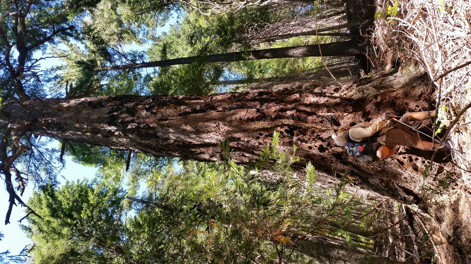
Some of the areas we hike are so rugged and remote they still have some old growth trees which were not logged
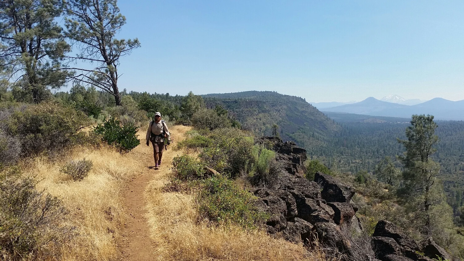
On the rim of Hat Creek Rim
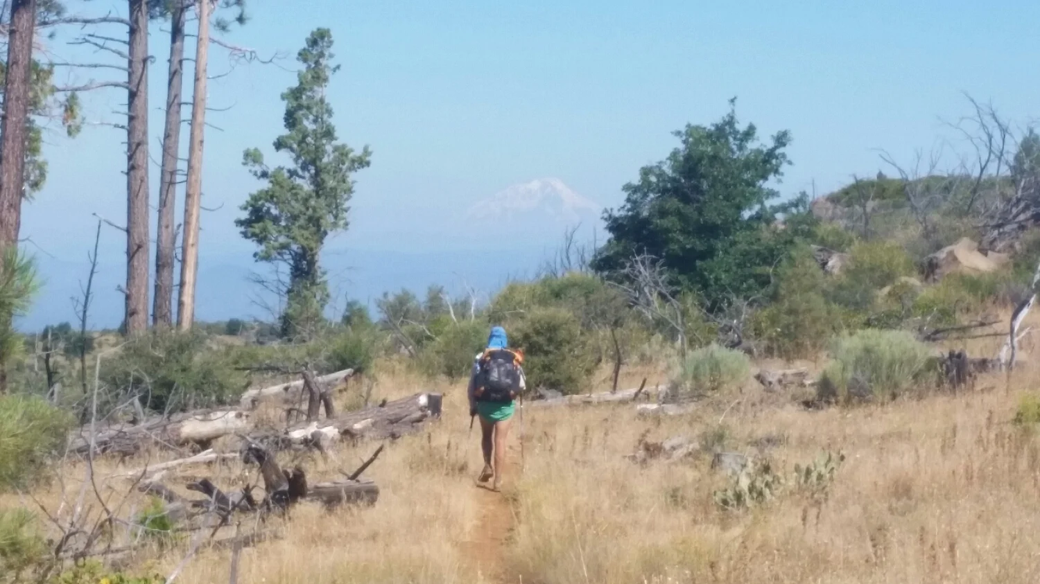
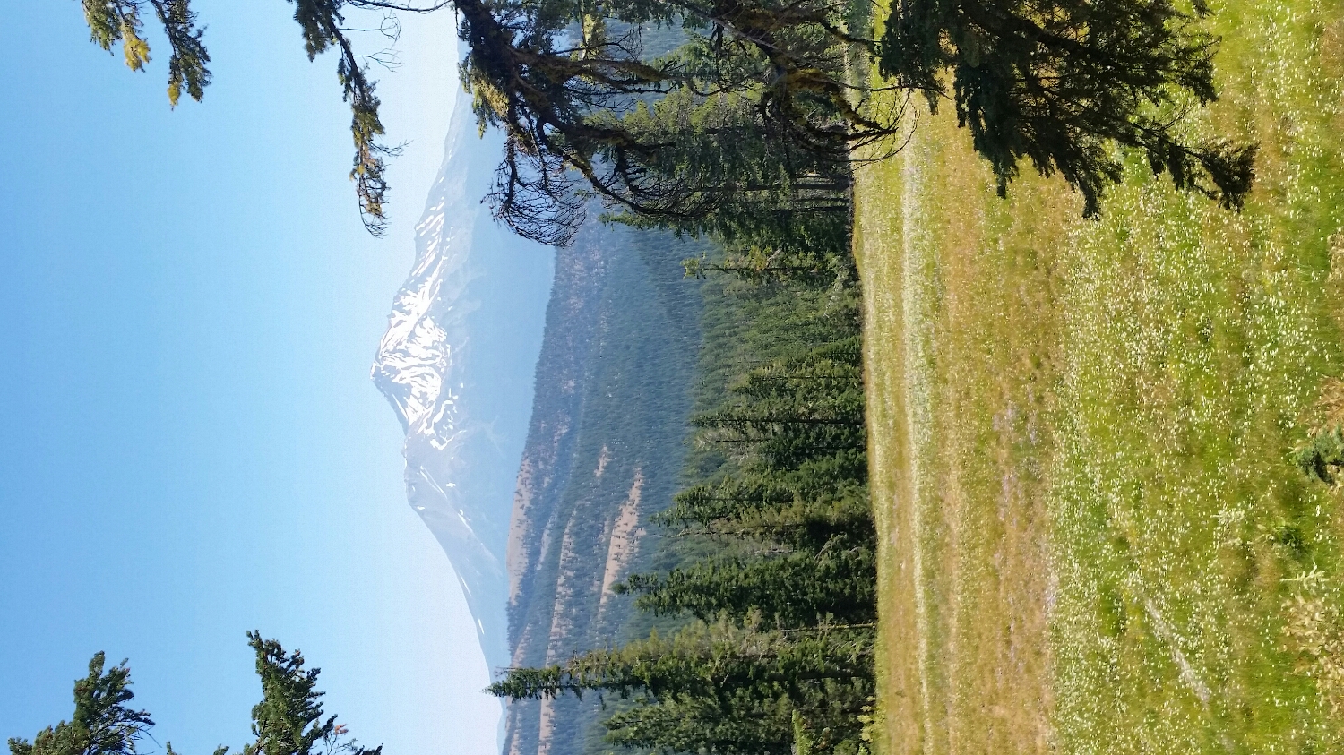
Hat Creek Rim with Shasta in the Background
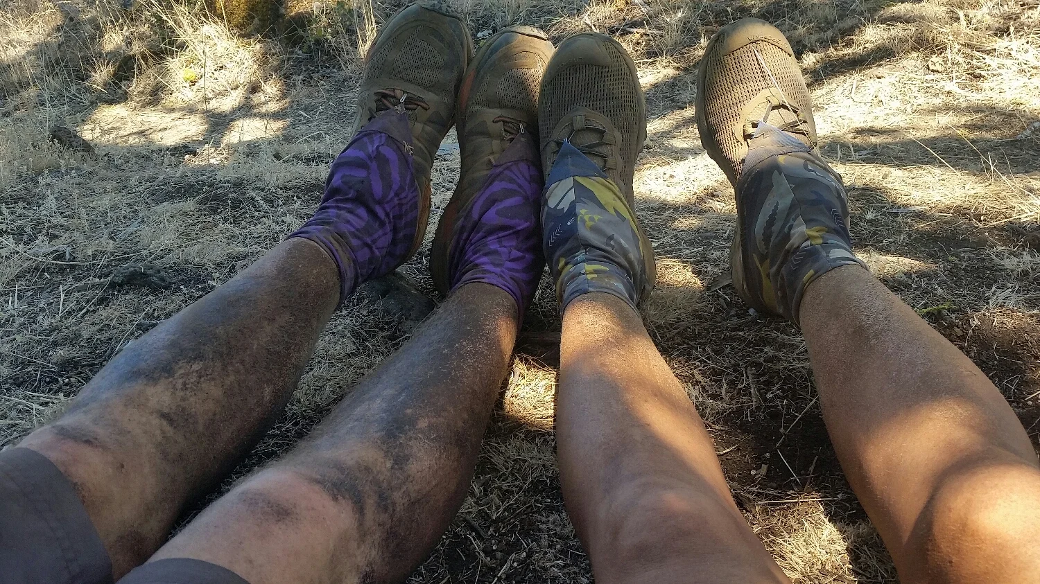
We need a shower
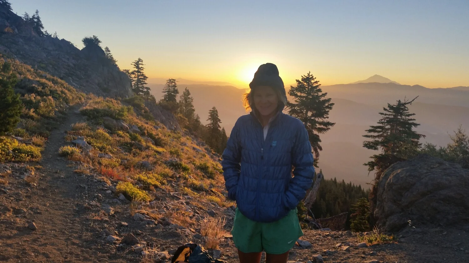
Beautiful Sunrise
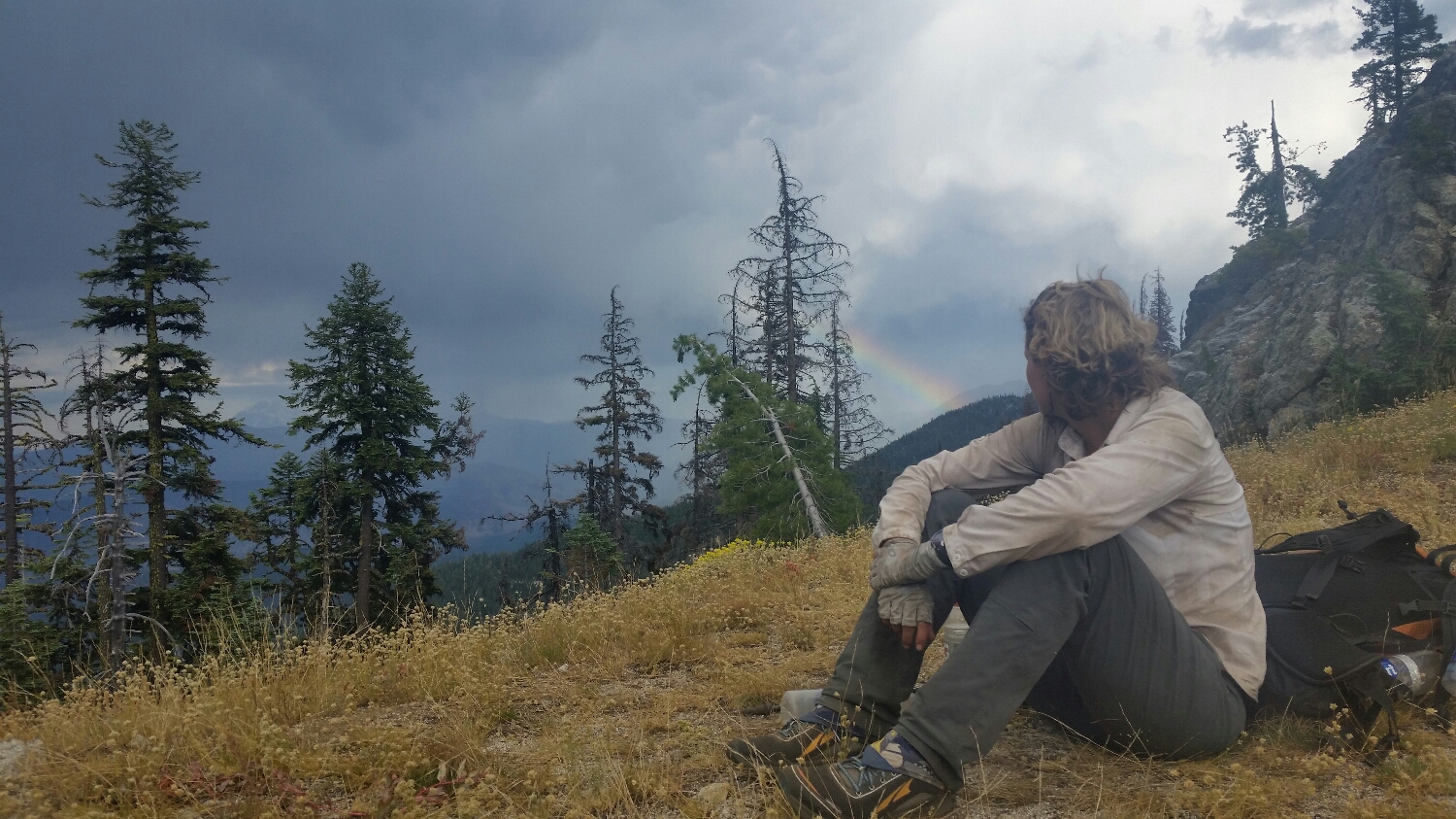
Rainbow after the storm
Mt. Shasta
I don't think that hot shot had a good start to their day.
JUst a little air guitar with a PCT sign