On 6/28 we did 6.8 miles to Vermillion Valley Resort and slept at 7,899 feet. On 6/29 we did 20 miles over Goodale pass and slept at 9,908 feet. On 6/30 we did 17.3 to just pass Devils Post Pile and slept at 7,690 feet. 7/1 we did 21 miles to Lyell Fork and slept at 9,651 feet. On 7/2 we did 16.4 miles to Glen Aulin and slept at 7,883 feet. On 7/3 we did 14.6 miles to just south of Benson Pass and slept at 8,446 feet. On 7/4 we did 16.1 miles to Bear Valley and slept at 8,100 feet. On 7/5 we did 21.5 miles to Cinco lake trail and slept at 8,911 feet. On 7/6 we did 16.2 miles to Sonora Pass and hitched down the hill to Pinecrest.
We did our second resupply in the Sierras at an outpost called Vermilion Valley Resort. The term resort might be a little generous, it's more like an outpost full of dilapidated cabins and inhabited RVs that have not been moved in years. While I might be poking fun at its ascetics it was a critical resupply point to get us through the Sierras. We ended up having to take a ferry (again they were generous with the name, it was really a john boat that was barely water worthy) across Edison lake to VVR. We sent ourselves a resupply package since we knew the store at VVR had little more than beef jerkey and pop tarts. While the food was slim pickings, it did have multiple fridges full of craft beer, and the first one was free! We spent the rest of the day hanging out underneath a canopy tent drinking a few beers and telling lies with other hikers, as our first and only thunderstorm of the Sierras poured down.
We decided not to risk our lives on the ferry again and decided to hike out of VVR. We took a side trail over Goodale pass which ultimately meets back up with the PCT. The Goodale trail is definitely not as heavily trafficked as the PCT, and when we got to the top of the snow covered pass there was only one other set of tracks in the snow. We descended down the steep pass; SketchPad was only about 50 yards behind me, but I must have ducked in between some boulders while she was not looking and she continued down the trail following the wrong foot prints. After 10 minutes of not seeing her I waited at a lake, then I kept waiting and waiting and waiting. I eventually went back to the last place I saw her and did not see any signs of her (she was matching the footsteps of the previous hikers tracks). Confused, I wondered if she somehow took a short cut and got in front of me, so I kept going forward. I rejoined the PCT and waited some more. After waiting another 30 minutes I took off running down the trail thinking if she was in front of me I could catch her. I ran into some friends 4 miles later who said they had not seen her, so I stopped. Knowing now, she was most likely behind me it was best that I stay still. About an hour later she came down the trail. She figured out she was no longer following me and found her own way back to the PCT. We spent the rest of the day discussing whose fault it was and decided to agree to disagree.
The nice thing about snow covered peaks is that they are the only break we get from mosquitoes. Due to all of the snow melt the ground is super saturated making the Sierras a 400 mile long breeding ground for mosquitoes. We walk fully covered head to toe including head nets and gloves. It is not uncommon for me to twist my poles back and forth as I'm walking like a windshield wiper to knock all of the mosquitoes out of the way. Even though we try and kill them all, it does no good since they are always swarming you, and more just show up when others are killed. It's not uncommon to able to kill multiple mosquitoes in the same smack, my record is hitting 5 mosquitoes at once. Going to the bathroom in the woods is a lot like a NASCAR pit change, everything is very organized and you have to be fast since the mosquitoes some how know when you are most vulnerable. We have been offered large amounts of money for our head nets from unprepared hikers, but no amount of money is worth our head nets... but I believe I have found a future business idea.
On July 1st we climbed Donahue Pass. At the top of the pass was a very enthusiastic Canadian wearing the Canadian flag (it was Canada day), a very intrepid Marmot, and most importantly the border to Yosemite. We entered the last southern National Park of the trail. While our map showed the national park boundary, it was obvious without the map that the terrain had changed dramatically after Donahue. Instead of mountains that looked like they were comprised of 100s of thousands of individual rocks, the mountains in Yosemite were huge masses of solid granite. You can see the effect of glaciers in the solid granite as well. During the last ice age the glaciers were 2,000 feet high in this area; so any exposed granite less than 2,000 feet above the ground is rounded and almost polished, and any rock above 2,000 feet is jagged. This phenomenon leads to a lot of the iconic mountains in Yosemite.
We did our last resupply of the High Sierras in Tuolumne Meadows. Normally a PCT hiker would hitch down to the Yosemite Valley and see the landmarks such as Half Dome and El Capitan; but since it was the 4th of July weekend we decided to skip the headache of the additional tourists visiting the park. While resupplying we meet a naturalist ranger who made the mistake of asking us if we had any questions about the area. He quickly became surrounded by 8 hikers who had 900 miles worth of questions. We sat and talked with him for an hour and a half as we sipped on beers and listened to his explanations. We might have gone into the valley, but we now have a better idea of what we are looking at.
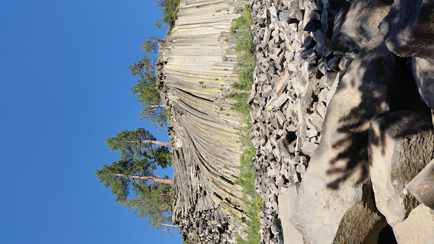
Devils Post Pile National Monument
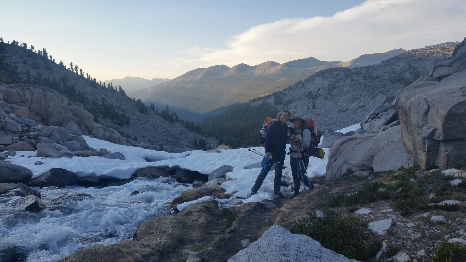
SketchPad and Tape Boss on the other side of Danahe Pass
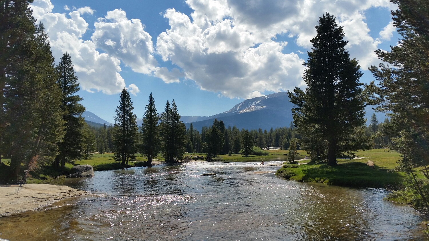
Toulomme River
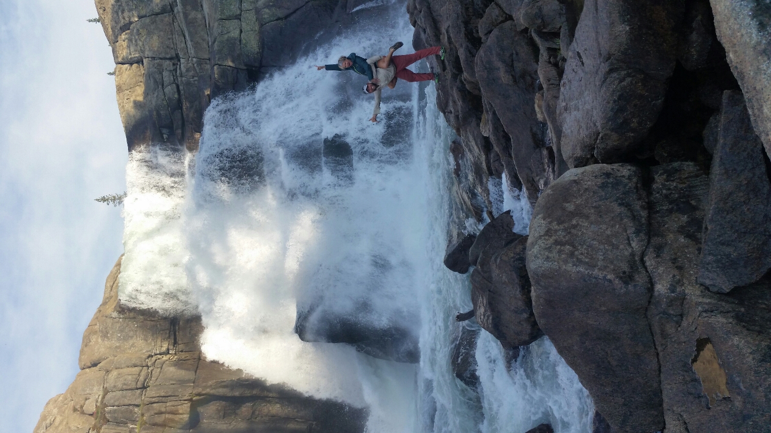
Celebrating in Yosemite (she didn't think my pack was heavy enough so she jumped on)
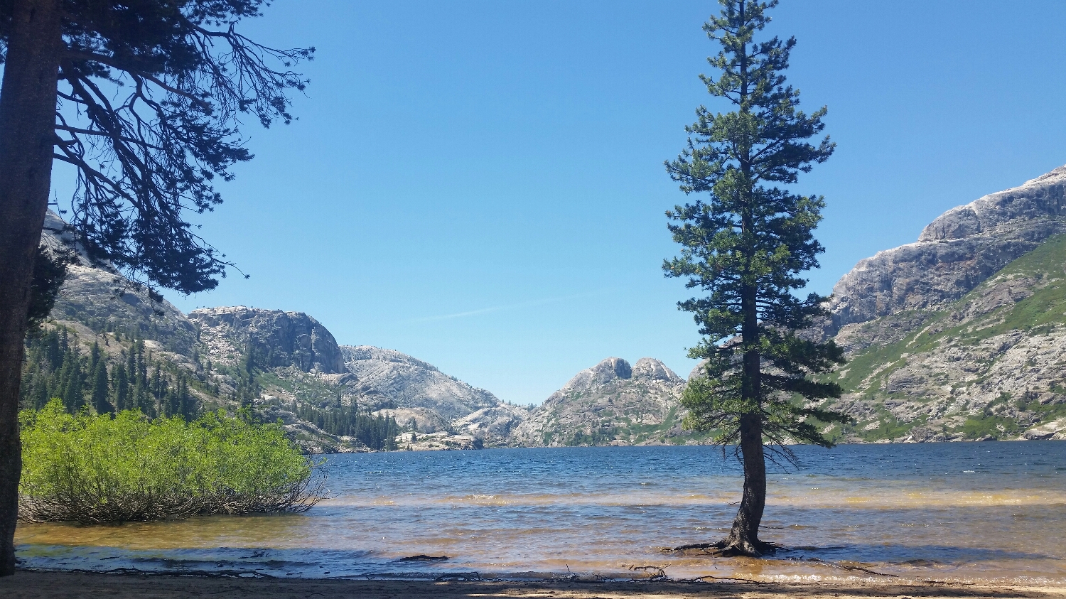
Benson Lake, spent 3 hrs here fishing and painting
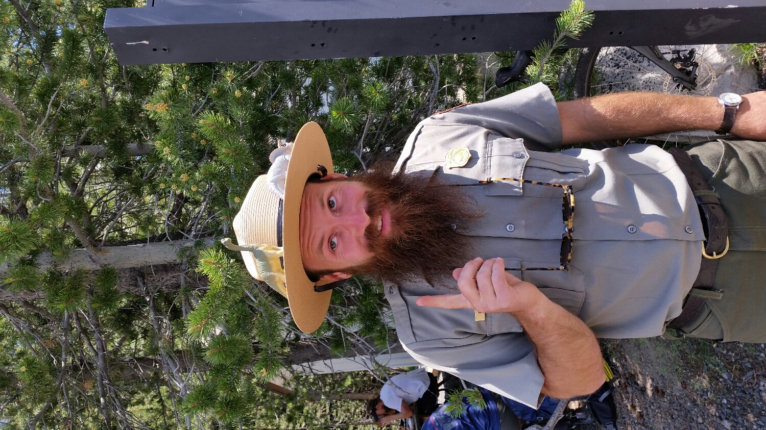
Our favorite naturalist ranger with Fred and Ethel
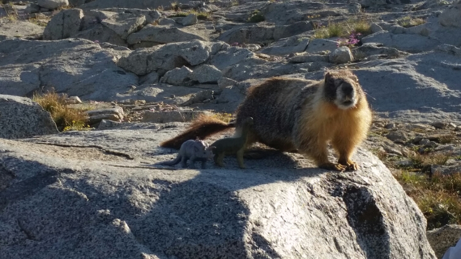
Our Marmot friend with Fred and Ethel

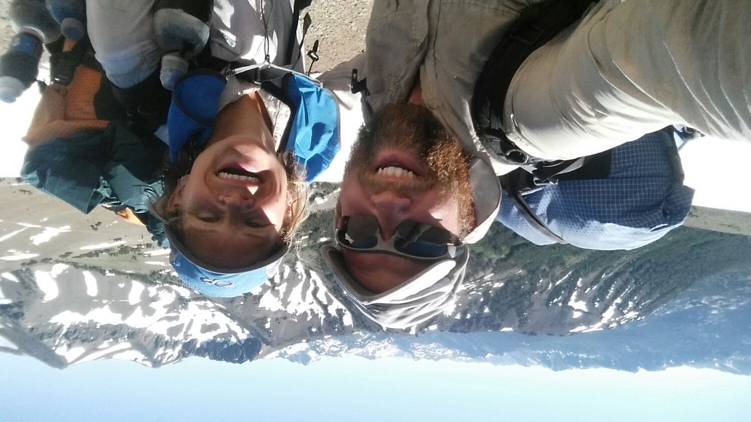
Celebrating the 4th of July in Yosemite
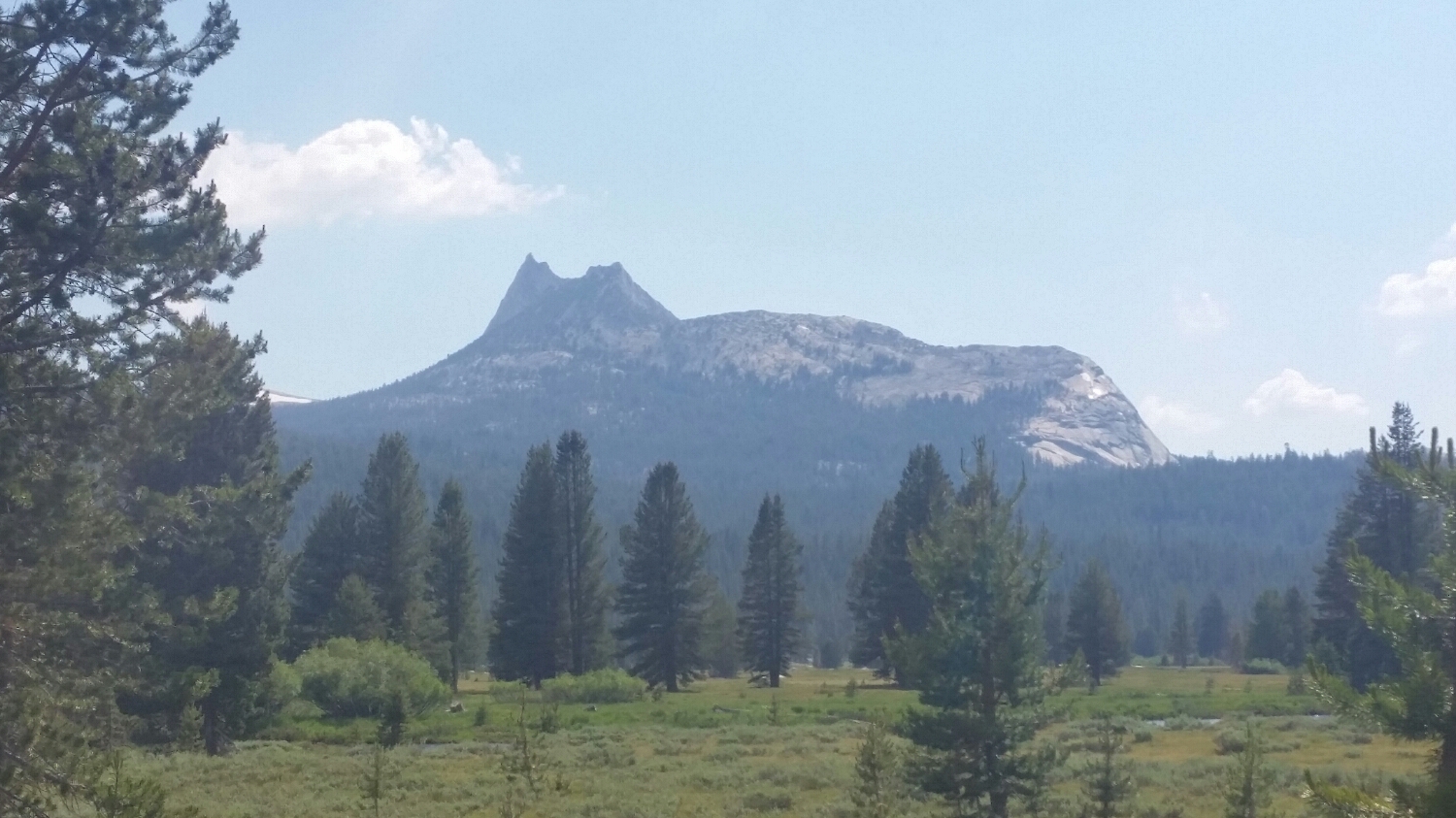
Cathedral Peak (top of it was above the glaciers)