On 5/17 we did 14.5 miles to Fuller Ridge and slept at 7,612 feet. On 5/18 we did 19.6 miles to Ziggy and the Bear and slept at 1,496 feet. On 5/19 we did 7.65 miles to just past Highway 18 and slept at 6,738 feet. On 5/20 we did 21.9 miles to just pass an unpaved jeep road and slept at 6,266 feet. On 5/21 we did 21.5 miles just past the rainbow bridge along Deep Creek and slept at 3,350 feet. On 5/22 we did 25.7 miles to just before Cajon Pass, CA and slept at 3,442 feet. On 5/23 we did 23.4 miles to just before Wrightwood, CA and slept at 7,090 feet.
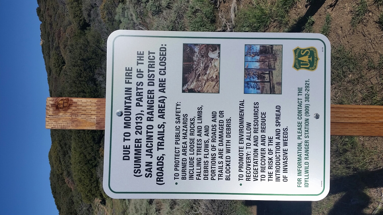
On 5/16 we had to take a detour around a closed section of trail due to a fire in 2013 which temporarily closed the trail before Idyllwild. As a general rule, hikers are told that sections of trail that close due to fire are typically closed for three years to prevent errosion, invasive species, and to protect the hikers from dangers caused by the fires such as fallen trees and landslides. There have been few miles of trail which do not show the scars of forest fires. From the desert plateaus and canyons to the high mountains, burned out shrubs and trees are common. It is actually difficult to find a section of trail that does not have some sort of fire scar. SketchPad and I play a game as we walk to try and find a section without any fire sign and it is difficult because there is almost always a sign. For the Idyllwild section, we had a paper map of the fire detour and put our orientiering to the test. The detour started around mile 160 and had us go down a steep gully and follow powerlines for several miles. We then had to road walk for another mile and a half, go through a campground and find a specific campsite, then take the mountain bike trial from that site to an unused forest road. The road zig zagged through the burned out forest for 8 miles with numerous unmarked instersections to keep us on our toes. It was an elaborate easter egg hunt, but we were able to navigate around the detour and slept just 2 miles outside of Idylwild so we could take a super nero (a nero where you are in town for breakfast. A "nero" being 'near to zero' miles walked..).
We resupplied in Idyllwild and SketchPad got a new pair of shoes. We also managed to consume 5,500 calories according to my estimation even though we both swear that hiker hunger has not set in yet. With full stomachs, clean clothes and recent showers we set off on 5/17 for Mount Jacinto (pronounced "Ha-Seen-Toe at 10,834 feet). To get to the peak of Mt. Jacinto you have to take an alternate route to the PCT, since the PCT is also an equestrian trail and often avoids summits. The climb was moderately difficult and we noted the amount of snow pack still left on the trail in the middle of May. I figured the snow remained on the mountain since typically the temperature drops about 3.5 degrees farenheit per 1,000 feet of elevation gain. SketchPad and I made it to the summit around 1:00pm. We were told there can be awesome views of the desert floor and on very clear days even the ocean. Unfortunatley we were stuck in a cloud and could not see anything. We decided to eat lunch on the summit and, as we were finshing burritto number one, SketchPad said she thought she saw a flurry. I chuckled to myself as I looked at my watch and considered the date but before I could make a snarky comment about the chances of it snowing in the middle of May a snow storm erupted out of nowhere. I hurried us off the summit because I did not want to get stuck having to retrace the last 200 yards of boulder scrambling with wet granite. We hurried down to about 9,000 feet where we decided to eat the rest of our lunch. As we were eating the sky got very dark, and it became apparent we had made the right decision to get off the summit. We started to hear cracks of thunder in the distance and the wind picked up. The trail was heading downhill so we believed we were safe to continue to walk since we were losing elevation. As we were walking the thunder grew louder and a hail storm erupted. Imagine hail the size of dip-and-dots pouring down like like rain. We kept moving to stay warm, but noticed we were no longer losing elevation, but instead the trail was actually gaining elevation again and was headed for an exposed ridge. With the thunder less than three seconds away and the intensity of the hail storm increasing we decided to shelter in place, separate and get on rocks to insulate oursleves from the ground. The storm grew in strength with instantaneous lightning reports and by now there was at least a half an inch of hail on the ground. We sheltered in place for about 30 minutes and then - all of a sudden- the storm just stopped. (we can only hypotheize that once the storm clouds made it over the ridgeline it lost some of its energy). When we started to move again we were presented with a beautiful ridgeline that was glowing with post-storm color. It was gorgeous to see all of the rock formations and the desert floor below in the hue of the post storm and evening light. We must have taken over 30 pictures on our way to Fuller Ridge that night, but none of them will do justice to the actual experience.
The next day we got an early start. We had been at over 10,000 feet elevation the day before, and were heading straight for the desert floor around 1,000 feet elevation. It is a common mistake to believe that going down hill is easy. In fact most hikers lament large elevation drops for two reasons; the first is that it is hard on your knees and feet to constantly go down hill, the second reason hikers hating going down, is that it just means they will have to go back up. We hit the desert floor around 2:00pm and made our way across the hot desert plane to a local house which hosts hikers called Ziggy and the Bear. This stop was extremely important to us since it was where we would have to catch a shuttle for the next leg of the trip. I hate to say it, but SketchPad and I, as well as every other PCT hiker, had to skip a section of trail. There was another fire closure ahead of us that did not have a detour around it. SketchPad even called the Forest Service to see if it was possible to go through the closure and just not camp in it, but we were told not to enter. Last year hikers who decided to enter to closure were fined $2,500 dollars each. Trail angels picked us up at Ziggy and the Bear in the early morning and took us to San Bernadino bus station, where we got a bus to the next trail town called Big Bear. SketchPad and I resupplied in Big Bear and then hitched out to the northern fire closure boundary at Onyx Summit. We were back on trail by 1:00pm and had missed about 40 miles of trail due to the closure. We talked about being dissapointed by not being able to hike the 40 miles, but ask us at mile 2,650 what we think about missing the 40 miles, and we probably won't even be able to tell you where the 40 miles we missed were.
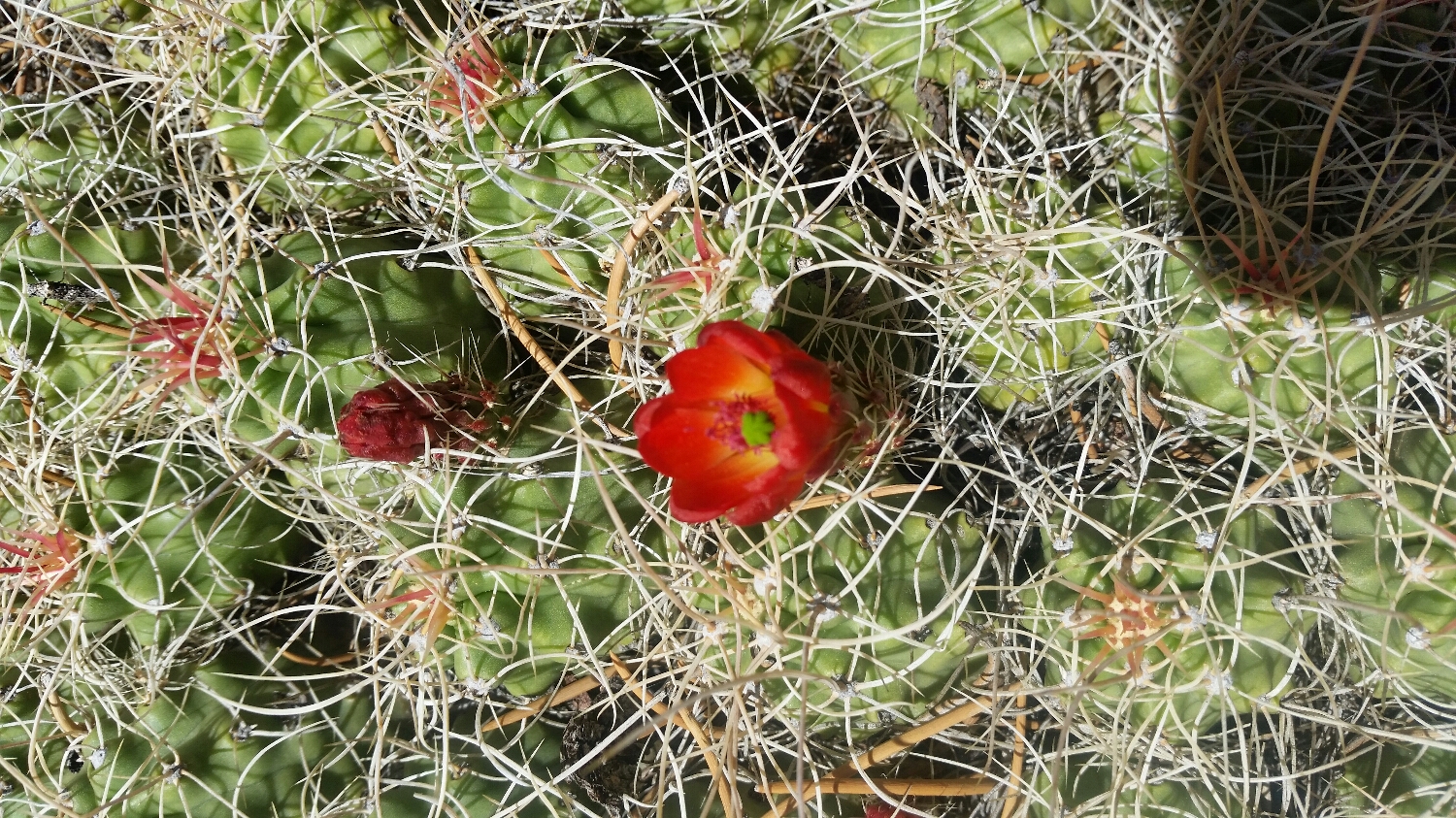
With all of the fire activity in the area there is a new plant that I was introduced to on the PCT, a plant that I want to be able to readily identify, but never experience... The poodle dog bush. Poodle dog bush thrives in post fire landscapes and can help prevent erosion in scared lands, but it also can cause and severe poison oak-like rashes. The rashes can appear 2 hours to 2 weeks after coming in contact with the bush. The rashes can cause severe blisters that last multiple weeks and even severe respritory distress. Poodle dog rashes cannot be treated with OTC medicine like posion oak and has ended thru hikes for those who have had severe reactions. In the past when there have been large areas where poddle dog brush is growing, they have actually rerouted the PCT. This year the PDB looks to be containted to a few small pockets, but its just one more thing to be aware of as we head north.
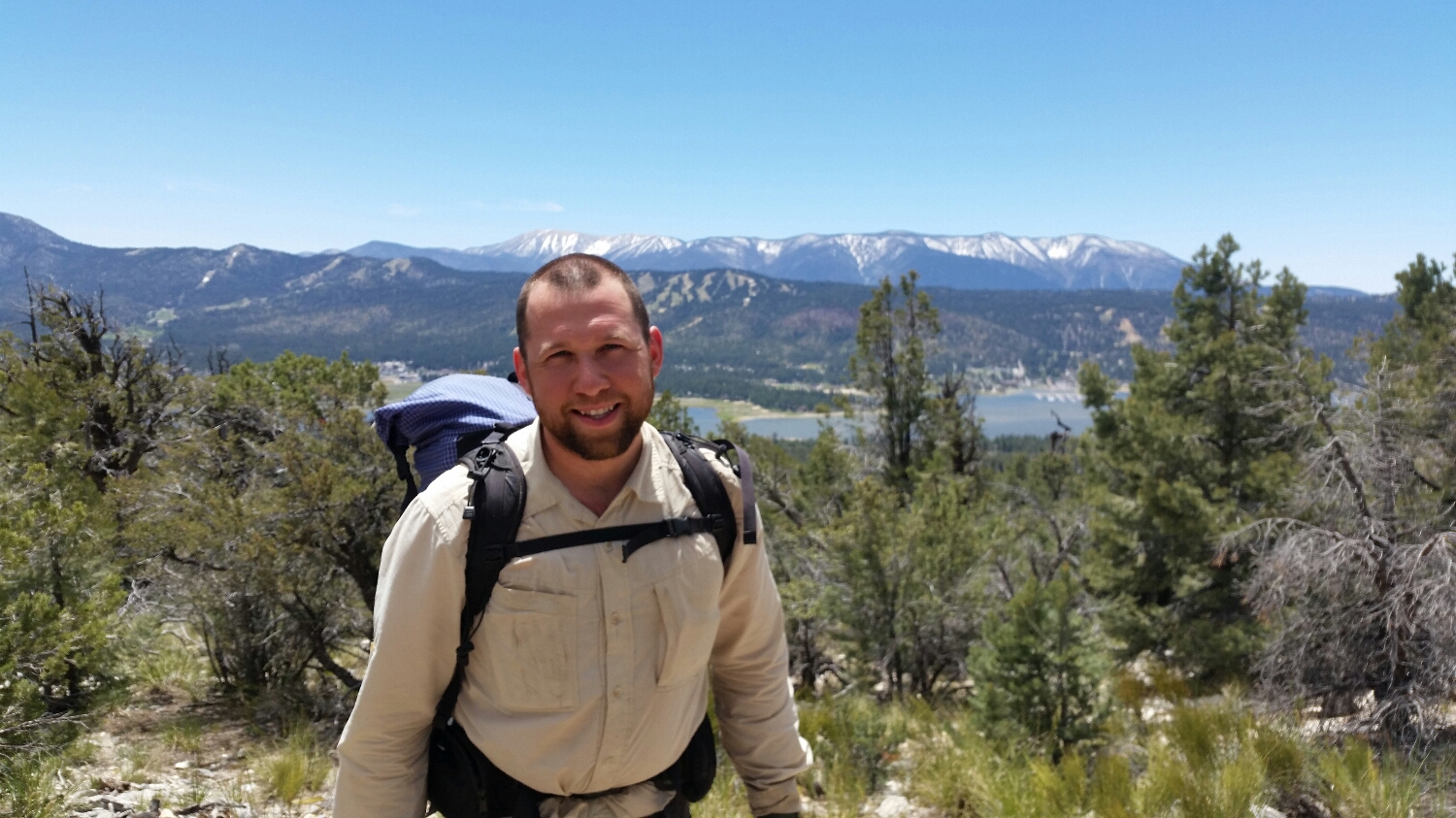
Awesome view of big bear lake and my receding hair line
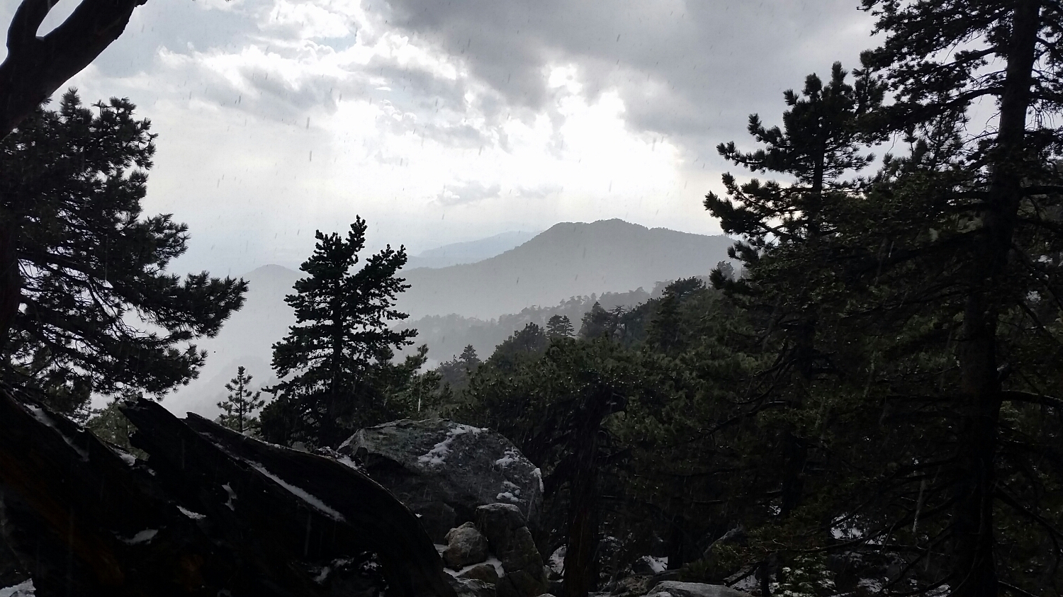
The view after the storm on Jacinto
Damnit

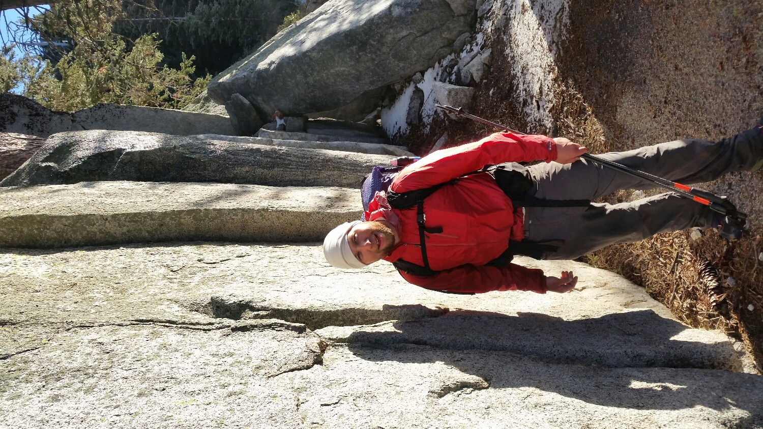
Amanda looking out to the desert floor
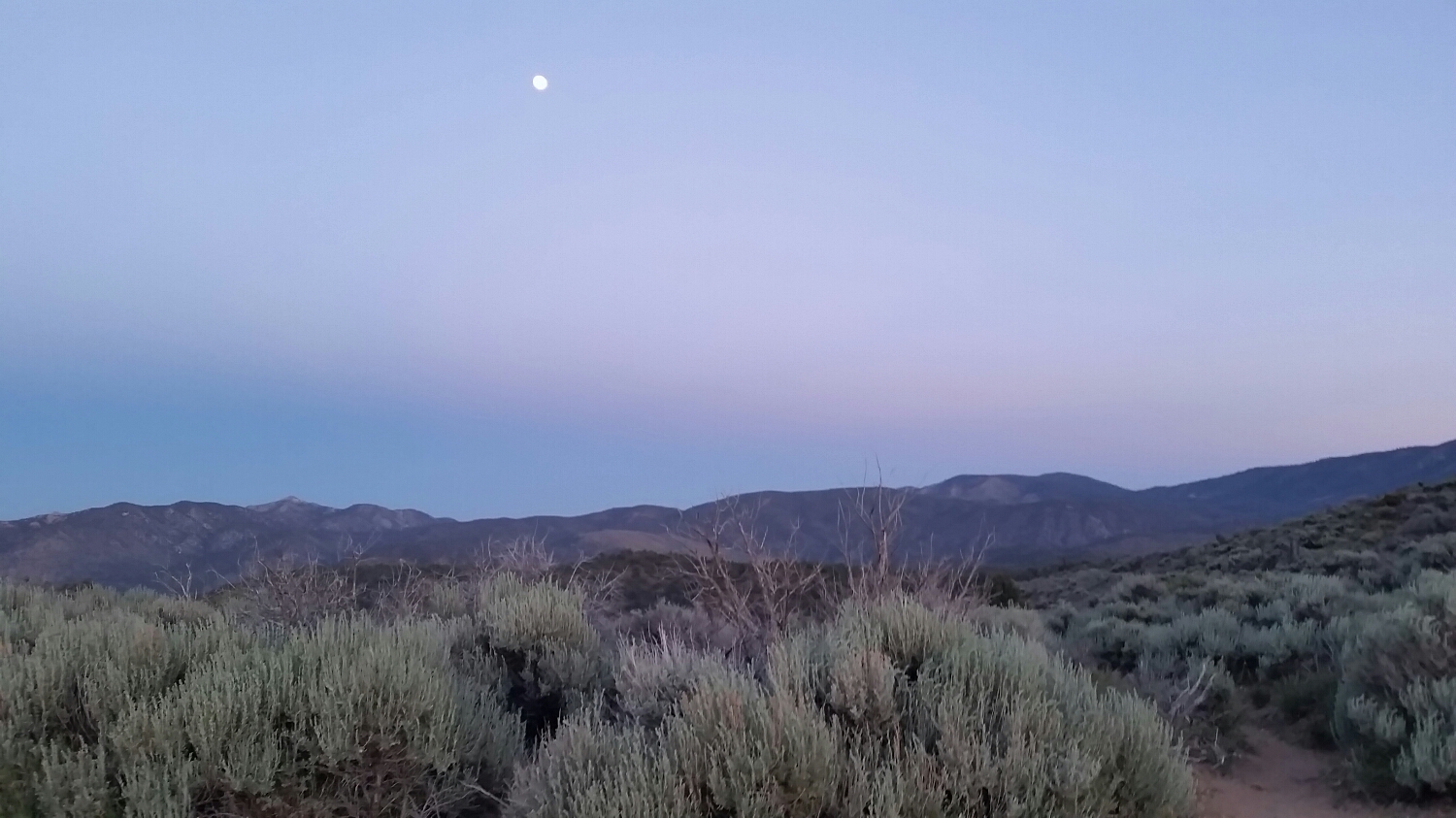
The full moon was a great excuse to night hike
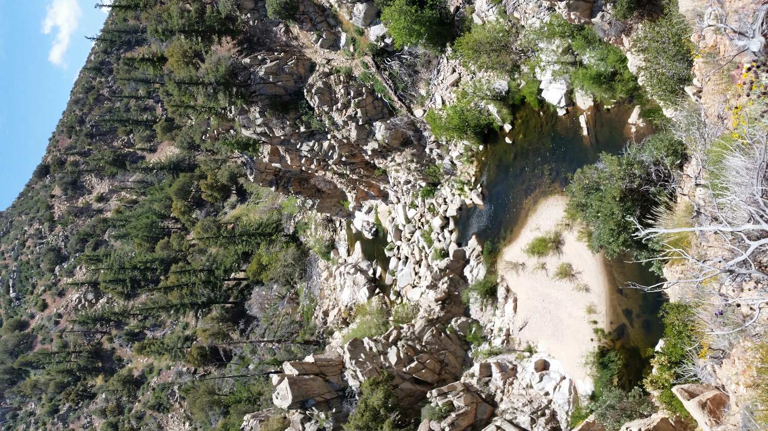
Deep Creek
I feel like I was just attacked by a bunch of Dip and Dots

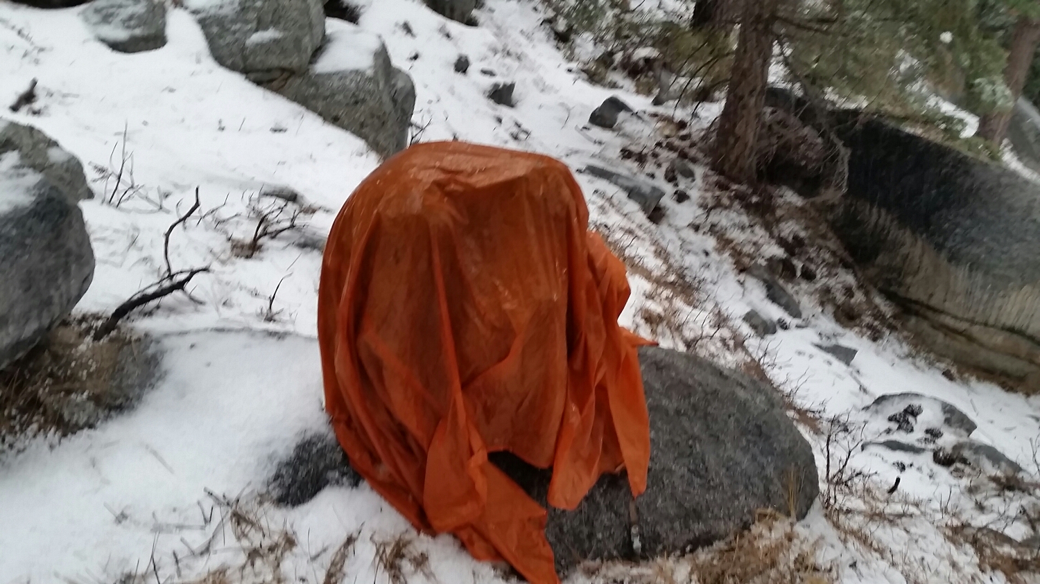
SketchPad demonstrating how to shelter on place.