On July 17th I did 56.5 miles to Doyleville. On July 18th I did 95.9 Miles to Del Norte. On July 19th I did 30.7 miles just passed Summitville. On July 20th I did 74.3 miles to Cruces Wilderness. On July 21st I did 75.7 miles to highway 544. On July 22nd I did 59.2 miles to Santa Fe National Forest. On July 23rd I did 84.5 miles to Navajo Route 9. On July 24th I did 68.1 miles to Grants, NM.
Listen to "Bicycle" by Red Hot Chili Peppers. No explanation is needed for this one.
I usually try to set myself up to be as close to a town as possible the night before so I can get in early for breakfast and coffee and do all my town chores without feeling rushed. Unfortunately I didn't get as close as I wanted to Salida and was still about 22 miles from town when I setup camp. I was looking over my maps on my phone for the next day when I noticed the battery started to rapidly decrease; it can go from 100 to zero in 20 minutes on occasion (I'm to cheap to buy a new one). I had about 5 minutes before my phone died and I was all out of my backup battery. I just stared at the maps and elevation profiles trying to memorize as much as possible before it died. When my phone turned off, I went to bed thinking this should be a fun morning. I got up with the sun and packed up and slowly made my way down trail making sure I didn't blow past any turns. I was counting each turn as I passed and trying to match it up from memory of which turns I was supposed to actually take and low and behold it worked. I ended up in downtown Salida by 930a, I was super ecstatic since I could still be out there if I screwed up one turn.
I was excited for Salida not only because it means I wasn’t lost but also since it's my favorite town along the divide. It has everything a hiker could want and is surrounded by several large mountain ranges and the beginnings of the Arkansas River flow through it. A friend of mine lives in town and let me crash at his place while he was out of town, which was super helpful since I was planning a zero to rest up for the last third of the trail. While walking through town I found out Taz was also in town. I hadn't seen him since my birthday in Lincoln, MT and was super excited to see him again. Taz and I ended up grabbing dinner together with a couple of Colorado Trail hikers (what's up with all of these people who don't have jobs), and we all stayed up way to late arguing about who has better butts: hikers or bikers?
After the much needed zero I headed towards Poncho springs up to Marahall Pass. The biggest passes lay in front of me over the next 7 days. The picture below gives a general ide of the elevation profile of the entire trail and you can see the passes get higher and longer in Southern Colorado and Northern New Mexico.
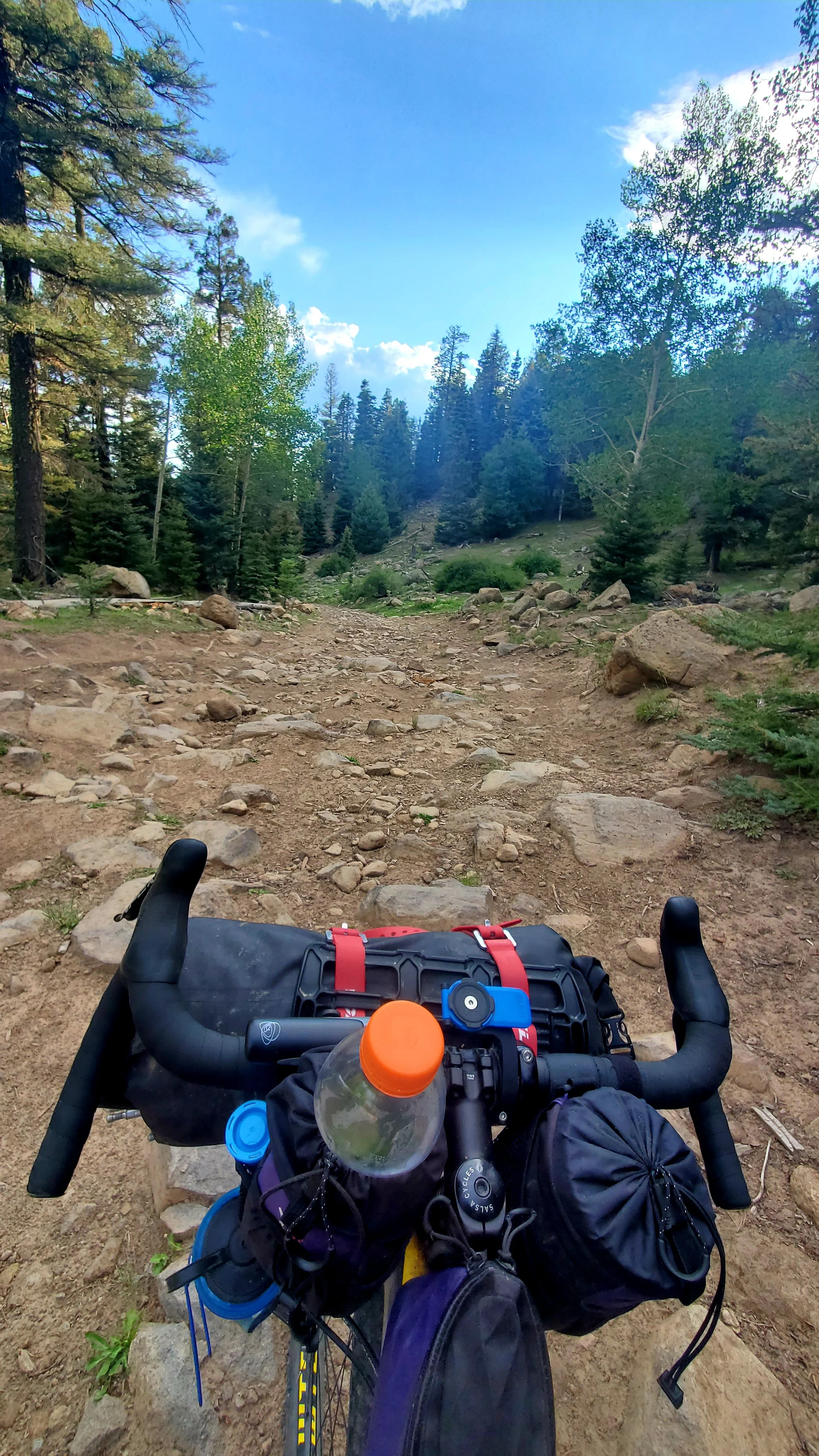
The passes pose an issue not only because they slow me down to an almost walking pace but also because they are super dangerous during storms. Up until Salida I was able to dodge most of the storms by picking up or dropping my pace; but now there is no dodging the daily afternoon thunderstorms that blanket the sky. I had to cut the day short out of Salida as I watched lightning strike the ridgeline I was supposed to ride up to, it was once of the most intense lightning shows I had seen and it seemed like Thor was pissed.
On my way up to Marshall Pass I ran into a herd of Mountain Goats. Marshall Pass is significant since it is one of the few places the Colorado Mountain Bike Trail, Continental Divide Trail and the Tour Divide Trail intersect (this is a foreshadowing sentence to indicate I will be riding the entire Colorado Trail on my Mountain Bike later this year) The mountain Goats were acting strange and fighting over a hole in the ground. There must have been a much needed mineral in the ground since they were going after it like cat nip. I ended up taking a video of them since I had never seen anything like it before. In the video I call them sheep so I guess I'll never get to fill in for David Attenborough.
Because my day out of Salida was cut short by the storm I had a big day to try and get to Del Norte. It was important to get to Del Norte because it is at the base of the tallest pass and I had to get an early start if there was any chance to get over it before the storms hit. I ended up having to night ride to get to Del Norte and ended up sleeping in a city park on their stage (there are outlets on the stage and its covered so it's a natural place to sleep and charge). I got up to do Indiana Pass which is the tallest pass on the Tour at 11,910 feet. It was a slog and I wasn't making great time. Even camping at the base of the pass didn't help and I slowly watched the storm clouds roll in. The clouds were looking super ominous like smoke from a fire rolling in on itself so I put it into overdrive and finished the climb at 3pm. The sky was crazy dark and I wasn't thrilled with the situation. I took a look at the topos and saw I would drop 1,000 feet over the next few miles and raced down the hill until I found a small clearing. It was only 4pm but my legs were spent and the lightning started get really close so I setup camp with a quickness right as the skies opened up. It ended up pouring rain all night, the rain was actually hitting my tent so hard it was spraying through my tent fly. While getting misted by rain inside my tent isn't the funnest thing in the world the storm did bring cooler temperatures and the intensity of the rain sounded Iike drums which had me fast asleep by 630pm and I didn't wake up once until the sun came up the next morning.