On May 4th I did 22.1 Miles to Crane Lake. On May 5th I did 24.9 Miles to Nankoweap Trail Head. On May 6th 15.6 I did miles to Kwagunt Rapids. On May 7th I did 14.4 miles to Tanner Rapid. On May 8th I did 19.0 miles to Horseshoe Mesa. On May 9th I did 18.2 miles to cremation creek (who names these places?). On May 10th I did 6.5 miles to the South Rim to resupply.
Check out "Hold On" by Alabama Shakes. I'm doing my best to not get blown off any cliffs; everytime a strong gusts comes I just have to stop hiking and hold on so I don't go for a 300 foot dive into the Colorado River.
I made it to Jacob's Lake, resupplied and rested. There isnt much going on in Jacob's lake, It's pretty much a tourist stop if you are going to the North Rim, so I chilled in my room sipping on a beer and looking over maps and water options. In the morning I grabbed breakfast at the diner and I saw a few AZT hikers but one of the hikers looked different, she looked like she had seen some shit and then I noticed she pulled out a Hayduke map. Holy crap another Hayduker! Her name is Sprinkler and we actually hiked around each other on the PCT in 2016 and she was at the Canadian Border the day I finished. She had been doing a bunch of alternates on the Hayduke that allowed me to catch her; I was super excited there was another Hayduker who was going to be on trail around me!
I jumped back on the AZT after eating 2 large breakfasts and an extra stack of pancakes (I think I need to up my calories). The AZT is pretty chill compared to what I had been on and the terrain and flora reminded me of Tahoe even though the Kaibab Plateau and North Rim were only 15 miles away as the crow flies. With the easy terrain I knocked out 20 miles after only a half day of hiking. Sprinkler caught up with me that night and we camped together (she is redicioualy fast), it was one of the coldest nights on trail as we were around 8,500 feet. It was a quick morning to build up body heat and before I knew it we were 25 miles down trail at the Nankoweap Trail Head with my first real view of the Grand Canyon!
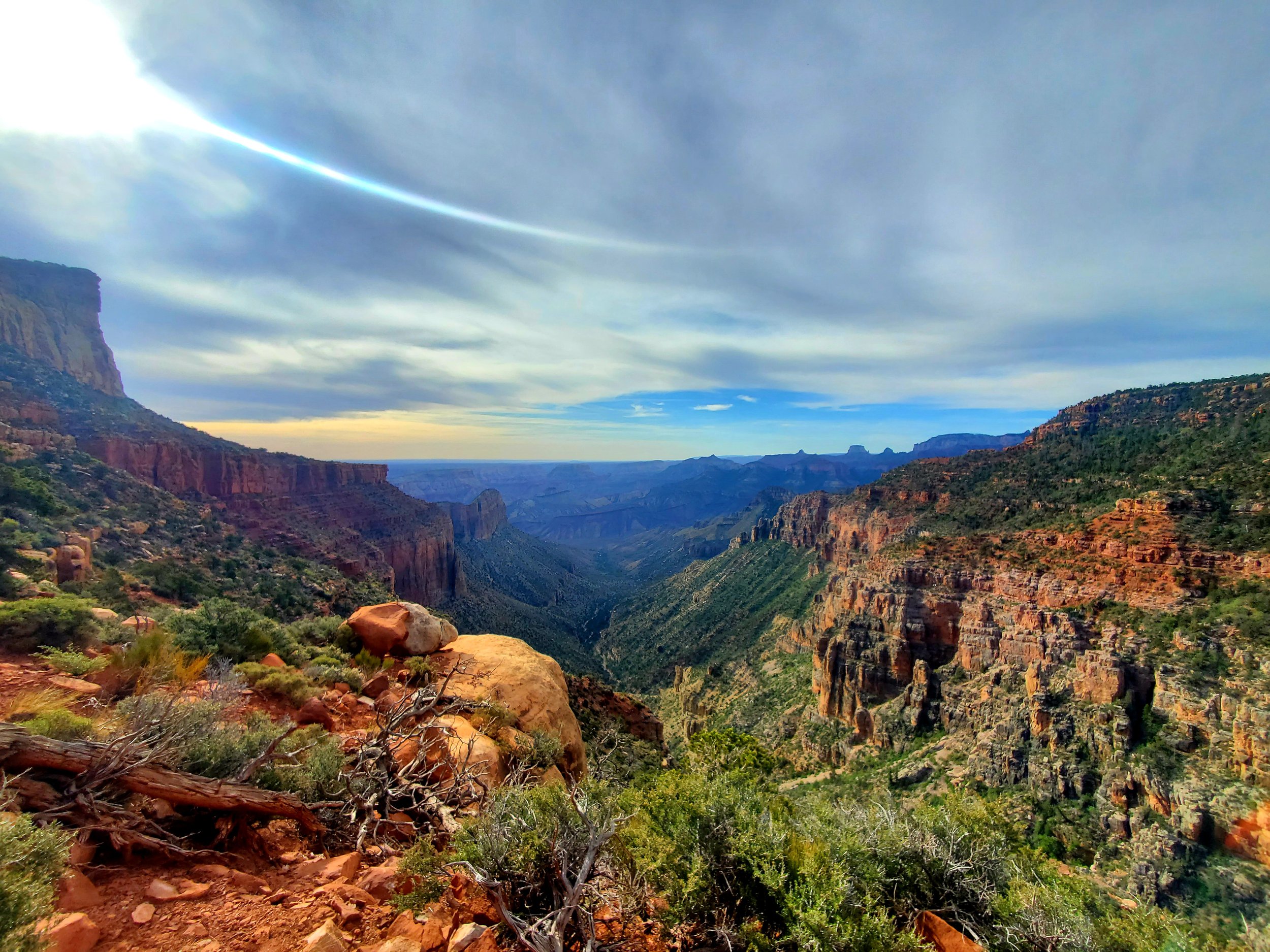
Holy Shit, I cannot believe I finally made it to this point. I started off this trail terrified of the undertaking thinking I was possibly going to quit, then I got a little comfortable and figured I had a chance to finish it if I pushed hard enough, later on I figured I had the skillset to see this through, and now I'm looking down into the Grand Canyon wishing I had a beer before I jumped in. The Nankoweap Trail is one of the hardest trails in the Grand Canyon according to the National Park Service, it drops you down from the rim into the canyon over 14 miles. It's steep and loose trail with epic views the entire way down. The Nankoweap Trail and actually all of the "trails" we were on had several 100 feet drop offs just a few feet off trail, this made time stand still when strong gusts would start blowing as you braced yourself and in all seriousness tried to not get knocked over. I must have hit the perfect season to enter the canyon because as I made my decent I was surrounded by gardens of blooming cactus. Everywhere I looked were unique cactus sprawling out on the desert walls and floor, their flowers covered the entire color spectrum. It was a long steep decent but there was an amazing spring at the bottom which had cold clear water in it! I followed the spring to the Colorado River and made my up to a small side quest to check out the old Anasazi Graneries which were nestled high into the cliff walls. I ate lunch at the Graneries and reflected on how an Ohio Boy who barely passed third grade now picks up and drops good engineering jobs as he wishes and is able to hike across some of the most amazing place in the country (life is not a straight line). I wanted to go another 8 miles down river after the Granaries to setup for an easy river crossing the next morning. I made it about 3 miles before I started to puke. Damnit... I knew I was pushing myself to hard... heat exhaustion. I basically crawled the next 0.6 miles till I had river access and dunked my body in the cold Colorado River. It wasn't a lack of water, it was a salt imbalance, I had drank over 12 liters of water that day and hiked through the hottest parts of the day without proper rest or nutrition, I knew better but pushed myself always. I was able to get more water and set up camp at 530pm and rest. You gain or lose 3 degrees Fahrenheit per 1,000 feet of elevation, so by going down 6,000 feet it became 18 degrees hotter without factoring in any weather changes. When I was able to get an actual weather report for that day I found out it was 99 degrees in the canyon; from here on out I'm going to have to get an earlier start and take a long 2 or 3 hour break in the middle of the day.
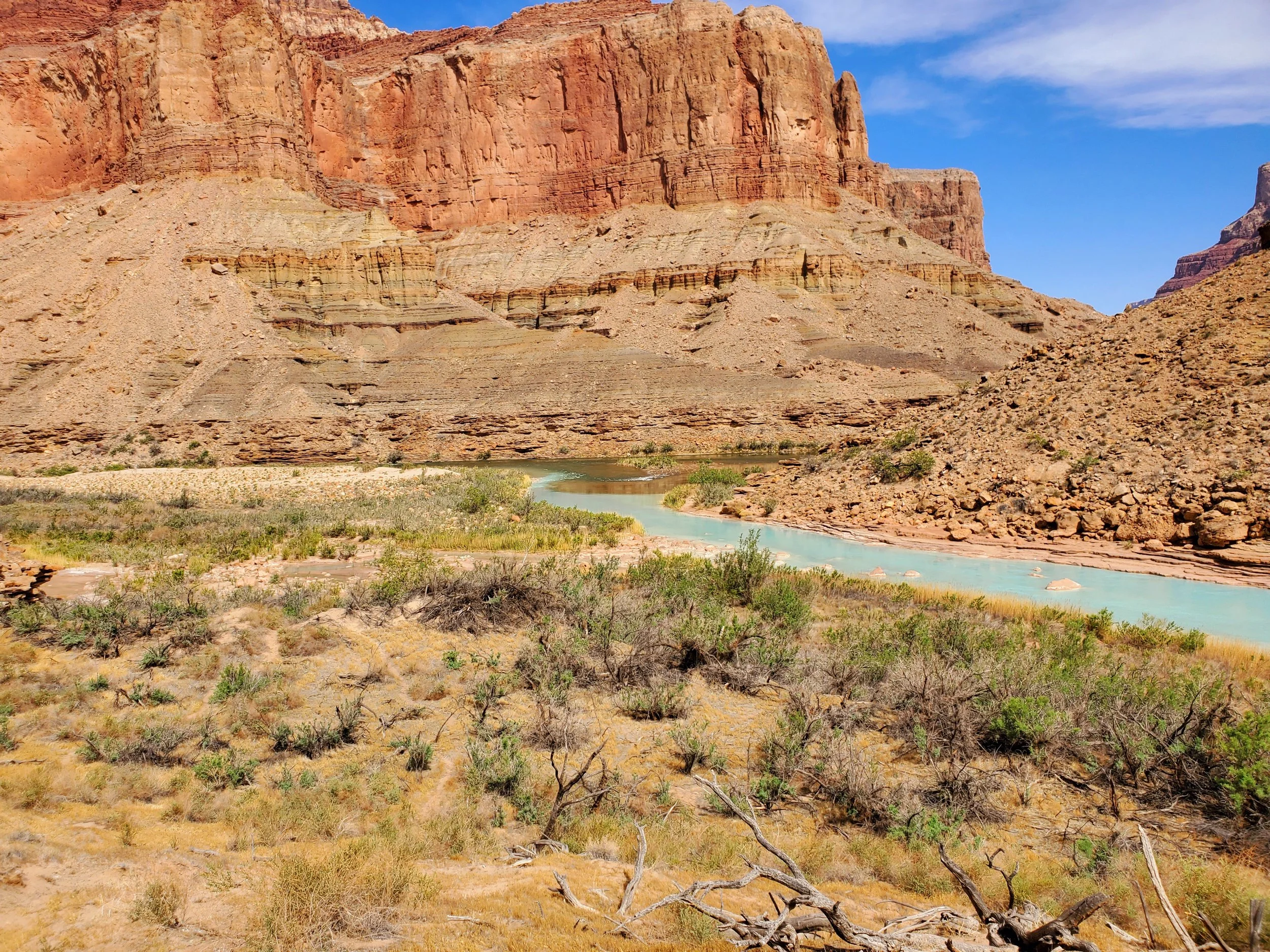
Sprinkler caught up with me that evening as I recovered and we made an early go the next morning (luckily she had salt tablets to give me). We had to get 6 miles down river where it would be easier for a passing raft to stop, pick us up and take us across the CO. There was no trail and it was a long 6 miles along the bank but we finally made it to the beach by 9am. We were super lucky and a raft passed us 20 minutes later. We flagged it down, it beached and we jumped on. The whole process took less than 3 minutes. The rafts took us 0.5 miles down the river and stopped at the Little Colorado. The Little CO is famous for having turquoise water. After getting off boat, snagging a few beers off the rafters and crossing the Little Colorado we joined the Beamer trail and continued on the Hayduke.
From the Beamer trail we spent the next 3.5 days on a network of trails that generally went down the Canyon. We held on for dear life when the strong winds would come throughout the day and rested during the high sun. At times we were hiking along the sandbars and at times we were 2,000 feet above the Colorado looking down into the canyon. Everywhere we looked were awe inspiring views. On the last day we took a detour with 3,600 feet of elevation gain to the South Rim for a resupply. The South Rim is not on trail but since the North Rim does ’t open until May 15th we had to make the additional stop to grab more food for the next section of the Grand Canyon.


