Check out "Underdog" by Spoon: its staring to feel good to get my trail legs and confidence on this route, even if it means I have to become half mule and half camel (and still half bear).
On April 5th I did 22.3 miles to just past the base of Hatch point. On April 6th I did 22.4 miles to Rustler Canyon. On April 7th I did 16.6 miles to Needles Outpost to resupply.
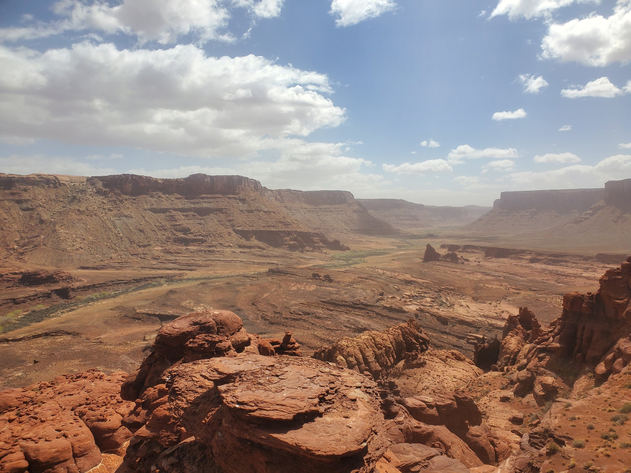
I camped 3 miles outside of Moab on the 4th along the Colorado River and walked out on the Kane Creek road which was absolutely stunning. It starts out along the Colorado river and then detours along the Kane Creek where I passed numerous petroglyph including the famous "birthing rock". The steep canyon walls gave way to a much more expansive area as I made my way up to Hurrah Pass where I was met with extreme wind. I had to keep my head down the entire time to not be eating sand. I didn't know much about the southwest until I started to read about it last year and always assumed it was the water that eroded away the formations but most of the features are created by the intense wind (which is probably obvious to most but wasn't to me) The air has so much sand it during windy days there is a slight haze in the distance from all of the particles in the air. I've actually had to cut "drain holes" in the hem of my pants since sand was actually collecting in the bottom cuff of my pants as I was walking and I certainly don't need any extra weight on this trail.
On the other side of the Hurrah Pass I met an old man named Doug who was keen on showing me his Hogo (sp?) which is a Najavo traditional hut that he lived in a mile away. People who chose to live in the remote desert can be rather interesting but he had potable water which would keep me from having to hike down to the CO River so I took my chances and followed him to his desert hut. The hut was really amazing and easily 15 to 20 degrees colder inside, he had local Navajos build it for him a few years ago and had been living in it since. I was really impressed with its design and thermal engineering. After the tour I collected my water was thankful I still had both of my kidneys.
I started the trail at what I thought was a perfect time. I know one person on trail who is a month infront of me and he has been hit with sooo many snow and rain storms it looked kind of extreme. Spring has started and what little vegetation is around is starting to bloom, but like the rest of the west it's been a relatively dry year and some of the reliable water sources are already dry. This is really unfortunate. I'm knew I was going to have a few big 30+mile water carries but im going to have a lot now. On other trails you know with relative certainty where the water is so even if its a 20 mile carry you know the water will be there after the 20 mile carry, on the Hayduke, its not that way. If you plan for a 20 mile carry and when you get to the next source and it's dried up, you are screwed. This is going to force me to carry a ton of additional water to always be safe... I guess it's time to get strong.
I took my first alternate today and it was thrilling if not a little intense. Nic Barth hiked the Hayduke in 2013, I don't know his background but I have to assume he is a badass canyoneer who added alternates to the Hayduke to make it even more fun. The first alternate left me scrambling across slick rock and then down a hole where I was literally rebirthed out the side of a rock face down to a ledge. The navigation was a little tricky but I was on cloud 9 when I found the correct path and came out exactly where I was supposed to.


